Axim tide times
Axim tide forecast — heights relative to MSL.
Today's tide times for Axim
Tide times at Axim on Saturday, 4 July 2026: first low tide at 12:00am, first high tide at 06:00pm. Sunrise 06:01am, sunset 06:25pm.
Tide chart for Axim
24-hour cosine-interpolated curve around the present moment. Heights relative to MSL. Predictions: Predictions: Open-Meteo Marine (MeteoFrance SMOC, 0.08° grid).
Sun, moon and conditions on Sat 04 Jul
Snapshot at build time — refreshes daily. Sea state from Open-Meteo Marine.
Highs and lows next 7 days
Every predicted high and low for the next week, with the daily tidal coefficient (0–120; higher = bigger swing, > 95 means stronger currents).
Other spots nearby
The three closest curated TideTurtle locations to Axim, measured by great-circle distance.
Today's solunar windows
Solunar tradition: major periods are the ≈3h windows around moon transit and opposition; minor are ≈2h around moonrise and moonset. Pair with the local tide stage and wind for the best read.
Cycle dates near Axim
Next spring tide on Sun 05 Jul (range 1.1m). Next neap on Fri 10 Jul.
Spring tides cluster around new and full moons (biggest swings). Neap tides land on quarter moons (smallest swings). See the spring tide and neap tide glossary entries for the why.
About tides at Axim
A short guide to the coastline at Axim — geography, sea state, and what the tide is actually doing under your feet.
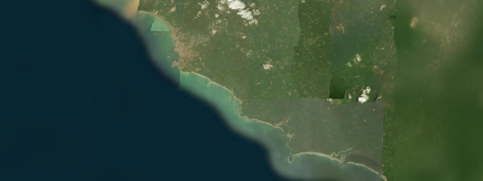
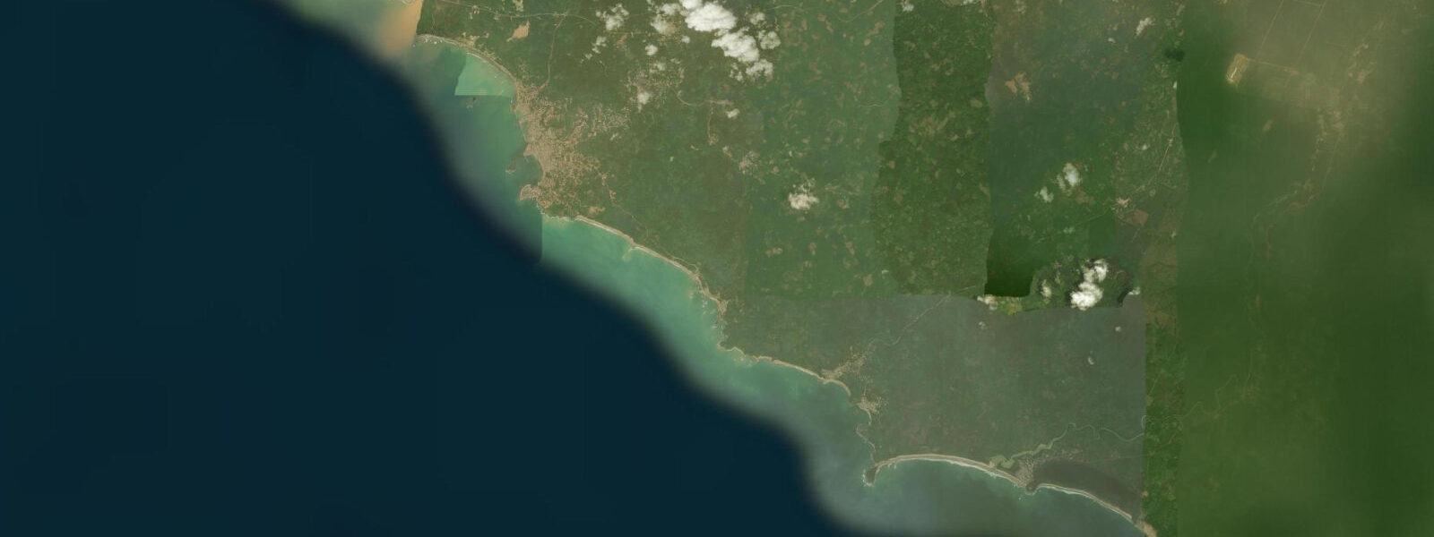
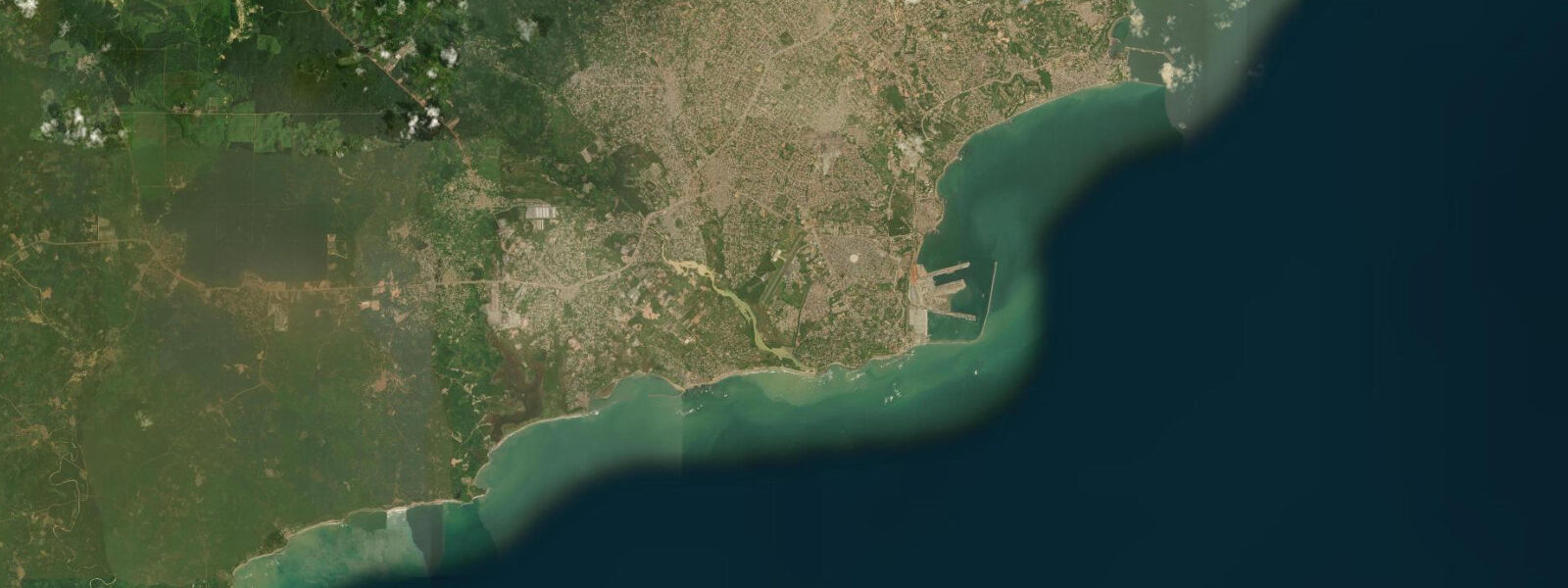
Axim is a historic coastal town at the western end of the Ghana coast, close to the border with Côte d'Ivoire, backed by a forested headland that rises above the Atlantic surf. It is one of the oldest European colonial sites in West Africa: Fort St Anthony, built by the Portuguese in 1515 and later occupied by the Dutch, stands on the headland above the town, making Axim a tangible connection to the 15th-century European contact with West Africa.
The physical setting is immediately striking. The fort occupies a defensive position on a rocky promontory, with the Atlantic on three sides and the town on the fourth. Below and around the headland, a series of pocket beaches alternate with rocky outcrops — the typical morphology of this part of the Ghana coast where the Precambrian basement rocks come to the surface and resist the wave erosion that has created the long sand beaches of the central Ghana coast.
Tide data for Axim uses Open-Meteo Marine's global model. Timing accuracy ±45 minutes, height accuracy ±0.2 to 0.3 metres. The Ghana coast at Axim is in the Gulf of Guinea, where semidiurnal tides have a spring range of approximately 0.8 to 1.2 metres. The moderate tidal range means the beaches and rocky platforms around the headland change character visibly between high and low water, with 0.8 to 1.0 metres of exposure difference affecting access to the rock pools and the beach widths.
Fort St Anthony is Ghana's oldest surviving European fort. The Portuguese built it to serve the gold trade from the Ashanti hinterland; the Dutch seized it in 1642 and used it as a trading post until they ceded Axim to the British in 1872. The fort is in partial restoration — sections of the original 16th-century walls remain, along with the later Dutch modifications. The view from the fort's upper level encompasses the full sweep of the western Ghana coast and the Atlantic approach.
For surfers, Axim is on the radar as one of the few spots on the Ghana coast with quality surf. The headland and offshore structure create a reef break on the southeast side of the promontory that works on the dominant south-southwest swells. The swell window is most reliable from June through September when the Gulf of Guinea swell system is at its most consistent. The surf here is relatively uncrowded by international standards — the infrastructure is basic and the location is far from Accra — but the quality of the wave at peak swell is notable.
For anglers, the rocky headland and the shallow reef system extending south from Fort St Anthony are productive for reef species: grouper, snapper, and West African barracuda. The rock edges and cuts are best fished on the falling tide. The river mouth at Axim — the Ankobra River empties into the sea about 10 kilometres east — creates an additional productive fishing zone where fresh and saltwater mix.
The environmental context for the Axim coast is the transition from the sandy-beach-dominated central Ghana coast to the rocky headland coast of the western Ghana-Ivory Coast border zone. The basement rocks of the Birimian geological series — ancient greenstone belts formed 2 billion years ago — come to the surface along the western Ghana coast and resist the wave erosion that has built the long sand beaches of the central coast. This change in coastal morphology correlates with a change in the coastal ecology: rocky shore communities replace the sand beach invertebrate assemblages, and the reef fish diversity changes correspondingly.
The Ankobra River, emptying into the sea roughly 10 kilometres east of Axim, is a productive fishing zone for residents of both the river mouth community and Axim itself. The Ankobra drains a gold-bearing greenstone belt; artisanal gold washing (galamsey) operations upstream have increased sediment loads in the river in recent years, with resulting turbidity reaching the estuary mouth. The sediment plume from the Ankobra is visible from the sea as a brown stain extending several kilometres offshore from the river mouth, particularly after rainfall events. The impacts on the nearshore fishery and on the diving visibility at Axim are ongoing concerns for local fishermen and the small ecotourism sector.
Ghana's Maritime Authority maintains a VHF radio watch on Channel 16 from the coastal radio stations, including one serving the western region from Takoradi. Vessels operating in the Axim area should monitor Channel 16 for weather broadcasts and navigational warnings.
Tide questions about Axim
Quick answers to the most common questions about tide times, range, and water access at Axim.
What is the tidal range at Axim?
Axim is on the western Ghana coast in the Gulf of Guinea. Semidiurnal tides with spring range approximately 0.8 to 1.2 metres; neap range 0.3 to 0.5 metres. Tide predictions use Open-Meteo Marine's global model, with ±45 minutes timing accuracy and ±0.2 to 0.3 metres height accuracy. The moderate range affects rock platform access around Fort St Anthony: at low water the rocky intertidal zone around the headland is more accessible for fishing and exploration; at high water, the waves reach closer to the fort base.
Can I visit Fort St Anthony?
Fort St Anthony is a Ghana Museums and Monuments Board site. The fort is open to visitors; there is an entrance fee. The original Portuguese sections of the 1515 structure are the oldest European-built walls in West Africa still standing in their original location. The Dutch expanded the fort extensively; the compound includes a central courtyard, the commander's house, cannon emplacements, and dungeons associated with the later slave-trade period. A guide on site provides historical context. The views from the upper cannon platform over the Atlantic and the Axim coast are worth the entrance fee independently of the historical interest.
Is there surfing at Axim?
The reef break on the southeast side of the Axim headland works on the dominant south-southwest Gulf of Guinea swell. The best conditions run from June through September when the swell system is most consistent. The break is a right-hand reef that produces rides of 50 to 80 metres in good conditions; wave height runs 0.8 to 2.0 metres on typical surfable swells. Axim has no surf shop or rental operation; visiting surfers need to bring equipment. The crowd factor is low to none. The beach at the base of the fort headland can be used for board access; local fishing boats are launching from the same beach in the morning.
How far is Axim from Takoradi?
Axim is approximately 60 kilometres west of Takoradi by road, a journey of 60 to 75 minutes on the coastal highway. The road passes through several small coastal towns and crosses the Ankobra River bridge. From Accra, the total journey is about 270 kilometres (3 to 4 hours). Axim is not on the direct route of most coastal transport; shared taxis and buses run from Takoradi's station but may require changes. Private vehicle or shared taxi hired from Takoradi is the most convenient option for visiting Axim as a day trip from the Western Region's main city.
What other historical sites are near Axim?
The western Ghana coast between Axim and Takoradi has the densest concentration of European forts and castles in West Africa. Within 30 kilometres east of Axim are: Fort Metal Cross at Dixcove (Dutch, 1692), used as a slave depot; Fort Batenstein at Butre (Dutch, 1656); Princess Town fort (Dutch, 1726); and Fort Grovensteyn at Posukrom. Each occupies a headland or river mouth position chosen for defensive value. The stretch from Axim to Elmina, 120 kilometres total, is sometimes described as the "Gold Coast" and its concentration of slave trade-era heritage is a UNESCO-nominated cultural landscape.
7-day tide table — Axim
Heights relative to MSL. Predictions: Open-Meteo Marine (MeteoFrance SMOC, 0.08° grid) — heights relative to MSL (not chart datum / LAT). Model-derived.
| Day | Type | Time | Height |
|---|---|---|---|
| Sat 04 Jul | Low | 00:00 | -0.6m |
| High | 18:00 | 0.4m | |
| Sun 05 Jul | Low | 00:25 | -0.6m |
| High | 07:02 | 0.5m | |
| Low | 13:03 | -0.3m | |
| High | 18:48 | 0.3m | |
| Mon 06 Jul | Low | 01:02 | -0.6m |
| High | 07:46 | 0.5m | |
| Low | 14:00 | -0.3m | |
| High | 19:43 | 0.2m | |
| Tue 07 Jul | Low | 01:48 | -0.5m |
| High | 20:45 | 0.2m | |
| Wed 08 Jul | Low | 02:37 | -0.4m |
| High | 09:23 | 0.5m | |
| Low | 16:10 | -0.4m | |
| High | 21:56 | 0.1m | |
| Thu 09 Jul | Low | 03:45 | -0.4m |
| High | 10:23 | 0.4m | |
| Low | 17:12 | -0.5m | |
| High | 23:16 | 0.2m | |
| Fri 10 Jul | Low | 05:03 | -0.3m |
| High | 23:00 | 0.1m |