Warnemünde tide times
Warnemünde tide forecast — heights relative to MSL.
Today's tide times for Warnemünde
Tide times at Warnemünde on Friday, 19 June 2026: first high tide at 02:00. Sunrise 04:37, sunset 21:48.
Tide chart for Warnemünde
24-hour cosine-interpolated curve around the present moment. Heights relative to MSL. Predictions: Predictions: Open-Meteo Marine (MeteoFrance SMOC, 0.08° grid).
Sun, moon and conditions on Fri 19 Jun
Snapshot at build time — refreshes daily. Sea state from Open-Meteo Marine.
Highs and lows next 7 days
Every predicted high and low for the next week, with the daily tidal coefficient (0–120; higher = bigger swing, > 95 means stronger currents).
Other spots nearby
The three closest curated TideTurtle locations to Warnemünde, measured by great-circle distance.
Today's solunar windows
Solunar tradition: major periods are the ≈3h windows around moon transit and opposition; minor are ≈2h around moonrise and moonset. Pair with the local tide stage and wind for the best read.
About tides at Warnemünde
A short guide to the coastline at Warnemünde — geography, sea state, and what the tide is actually doing under your feet.
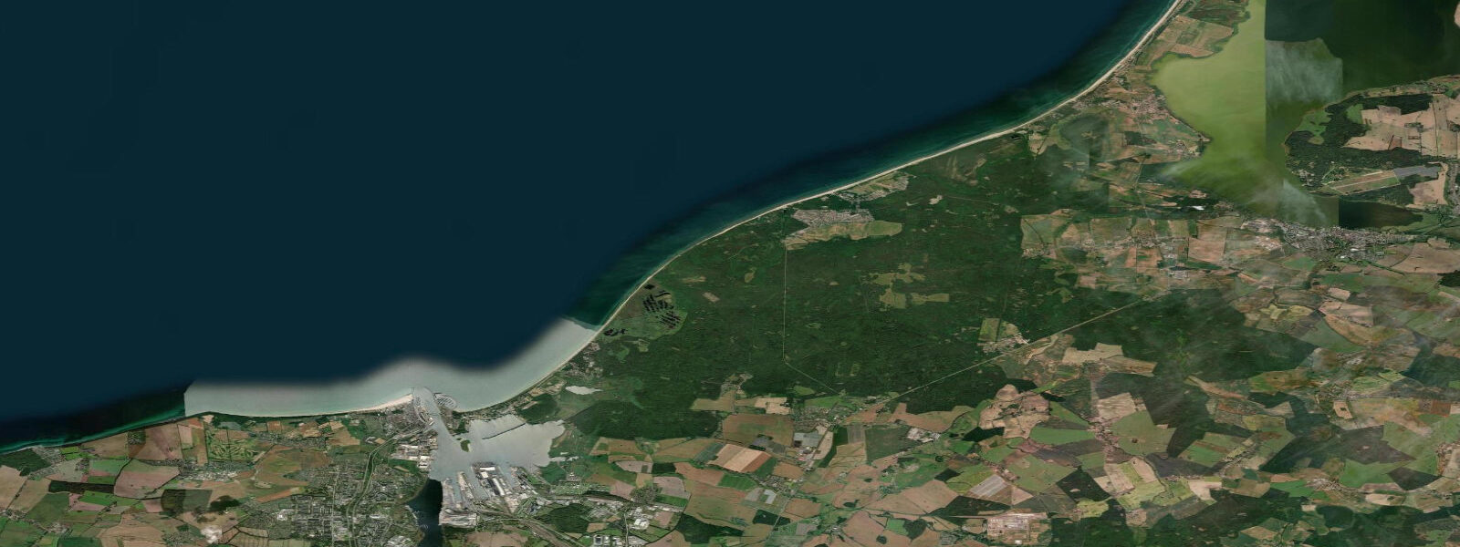
Warnemünde is Rostock's seaside district — technically a suburb of Germany's largest Baltic city, but with its own working-fishing-port character that the cruise ship arrivals haven't completely erased. The Alte Strom canal runs through the centre, flanked by fishermen's cottages painted in the Baltic palette (ochre, brick-red, cream), fish smokehouses still producing Räucherfisch, and the restaurants and shops that serve the beach tourism economy that runs from May through September.
The Baltic tidal range at Warnemünde is 0.1 metres — essentially zero in gravitational terms. Wind controls everything. The Warnemünde gauge is one of the primary monitoring stations for Baltic storm surges; the 1872 Baltic flood raised water level here by 3.4 metres above normal, still the reference event for Baltic coastal engineering. In normal conditions, the water level is stable and beach access is consistent regardless of time of day.
The beach at Warnemünde is wide, straight, and white-sand — 4 kilometres of Baltic coastline fronted by the Kurhaus promenade, beach lifeguard towers, and the lighthouse (1898) that also functions as the town's visual marker. The sea warms to 20°C in July–August and cools rapidly after September. The beach is busy in summer (Warnemünde is the closest Baltic beach to Berlin by train, about 2.5 hours direct) but large enough to absorb the volume.
The cruise ship terminal opposite the Alte Strom canal brings 200+ ships annually, which can crowd the canal and old town on arrival days. Check the schedule before visiting if crowds are a concern. Between cruise days, the Alter Strom is an honest fishing-town waterfront: fresh catch at the quayside, smoked fish at the smokehouses, and a ferry across the canal mouth to the beach.
Cycling from Warnemünde along the Baltic coast path toward Kühlungsborn (30 kilometres west) is one of the better day trips from Rostock. The Ostseeküstenradweg (Baltic coast cycling route) runs the full length of the Mecklenburg coast and is well-maintained. Kite and windsurf schools operate from the beach; the consistent westerlies and non-tidal flat water make this a reliable learner environment across the summer season.
Predictions on this page come from Open-Meteo Marine, a gridded global ocean model. Accuracy is typically within plus or minus 45 minutes on timing and 0.2 to 0.3 metres on height — model-derived, not from a local gauge. For authoritative German tide data, consult the Bundesamt für Seeschifffahrt und Hydrographie (BSH).
Tide questions about Warnemünde
Quick answers to the most common questions about tide times, range, and water access at Warnemünde.
What is the tidal range at Warnemünde?
Warnemünde's tidal range is approximately 0.1 metres — the Baltic is effectively non-tidal. Water level is controlled by wind: sustained westerlies and northwesterlies raise sea level (Windstau); easterlies depress it. The 1872 Baltic flood raised Warnemünde's water level by 3.4 metres. In normal conditions, beach access is consistent regardless of time of day and no tide planning is required.
How do I get to Warnemünde from Berlin?
Direct regional trains (RE) run Berlin–Rostock in approximately 2.5 hours, then the S-Bahn continues to Warnemünde station (10 minutes from Rostock Hauptbahnhof). Total journey is roughly 2 hours 45 minutes from Berlin central. The connection is direct and runs frequently — no changes required on most services. On summer weekends the trains fill early; book ahead if travelling Saturday or Sunday.
What is Räucherfisch and where can I try it in Warnemünde?
Räucherfisch is cold- or hot-smoked fish — typically Baltic herring (Hering), eel (Aal), or mackerel (Makrele) — smoked on site in traditional smokehouses. Warnemünde has several working smokehouses on the Alter Strom canal, identifiable by the smoke and the smell. The standard purchase is a whole smoked fish, wrapped in paper, eaten on the quayside. It is the definitive local food experience and typically costs €3–8 depending on size and species.
When is Warnemünde beach at its best?
July and August for warm water (19–22°C) and reliable sunshine, though the beach is at its busiest. June offers pleasant conditions with fewer people. September has warm water but cooling air temperatures and a more local crowd. The beach is open for walking year-round; storm-watching in November and December is genuinely dramatic when Baltic gales build. Avoid arriving on days when a large cruise ship is in port — the Alter Strom area gets congested.
Can I cycle from Warnemünde along the coast?
Yes. The Ostseeküstenradweg (Baltic coast cycling route) runs west from Warnemünde along the coast toward Kühlungsborn (30 km, approximately 2 hours) and beyond. The route is well-surfaced and mostly traffic-free. Kühlungsborn itself has a beach resort and the Heiligendamm pier nearby. Bikes can be rented in Warnemünde; check return options or plan as an out-and-back.
8-day tide table — Warnemünde
Heights relative to MSL. Predictions: Open-Meteo Marine (MeteoFrance SMOC, 0.08° grid) — heights relative to MSL (not chart datum / LAT). Model-derived.
| Day | Type | Time | Height |
|---|---|---|---|
| Fri 19 Jun | High | 02:00 | -0.2m |
| Sat 20 Jun | Low | 05:00 | -0.2m |
| High | 08:00 | -0.2m | |
| Low | 16:50 | -0.3m | |
| Sun 21 Jun | — | ||
| Mon 22 Jun | — | ||
| Tue 23 Jun | — | ||
| Wed 24 Jun | High | 00:00 | -0.1m |
| Low | 08:50 | -0.4m | |
| High | 14:10 | -0.3m | |
| Low | 19:50 | -0.3m | |
| Thu 25 Jun | High | 14:50 | 0.0m |
| Low | 21:50 | -0.2m | |
| Fri 26 Jun | High | 01:00 | -0.1m |