Rostock tide times
Rostock tide forecast — heights relative to MSL.
Today's tide times for Rostock
Tide times at Rostock on Friday, 31 July 2026: first low tide at 06:00. Sunrise 05:20, sunset 21:13.
Tide chart for Rostock
24-hour cosine-interpolated curve around the present moment. Heights relative to MSL. Predictions: Predictions: Open-Meteo Marine (MeteoFrance SMOC, 0.08° grid).
Sun, moon and conditions on Fri 31 Jul
Snapshot at build time — refreshes daily. Sea state from Open-Meteo Marine.
Highs and lows next 7 days
Every predicted high and low for the next week, with the daily tidal coefficient (0–120; higher = bigger swing, > 95 means stronger currents).
Other spots nearby
The three closest curated TideTurtle locations to Rostock, measured by great-circle distance.
Today's solunar windows
Solunar tradition: major periods are the ≈3h windows around moon transit and opposition; minor are ≈2h around moonrise and moonset. Pair with the local tide stage and wind for the best read.
About tides at Rostock
A short guide to the coastline at Rostock — geography, sea state, and what the tide is actually doing under your feet.
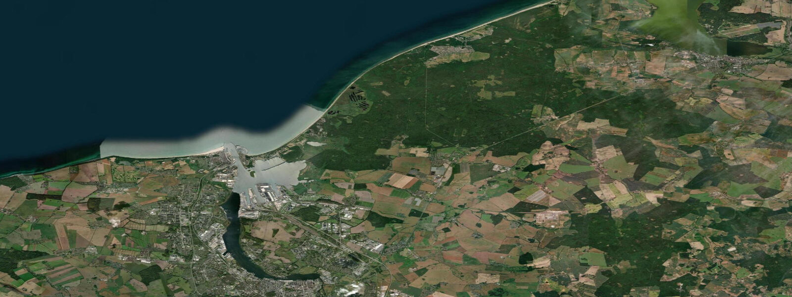
Rostock sits at the mouth of the Warnow river on the Mecklenburg coast, its seaside district of Warnemünde facing north directly into the Baltic Sea. Anyone arriving here from the German North Sea coast — from Sylt or Cuxhaven, where the tide runs 3 to 4 metres on springs — encounters something that requires a complete mental reset. 3 metres.
In practical terms the moon and sun do not move the water here in any meaningful way. The Baltic Sea is a nearly enclosed basin connected to the North Atlantic only through the narrow, shallow Danish straits — the Oresund, the Great Belt, and the Little Belt — and the tidal signal is almost entirely suppressed by the basin geometry before it gets anywhere near Mecklenburg. What moves the water at Warnemünde is the wind.
5 metres above mean along exposed Baltic shores. These Windstau events are real, they happen multiple times each year, and they are the planning variable that matters here in place of a conventional tide table. 8 metres below mean.
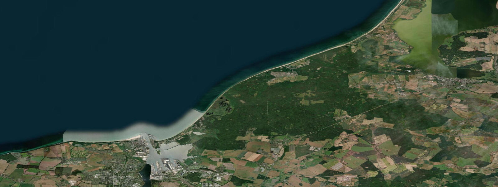
The BSH (Bundesamt für Seeschifffahrt und Hydrographie — the German Federal Maritime and Hydrographic Agency) issues water level forecasts for the German Baltic coast that include the wind-driven setup component. For anyone planning a sailing departure from Rostock Überseehafen, a kayak launch at Warnemünde, or a kitesurfing session on the Fischland shore, the BSH coastal water level forecast is more useful than the tide times on this page. Warnemünde itself is a proper seaside resort by German standards — a wide north-facing sand beach backed by the classic Bäderarchitektur of white-painted gabled houses, a working fishing harbour at the river mouth, the lighthouse tower visible from the beach promenade, and a direct S-Bahn rail connection running through Rostock city to the regional rail network.
In summer the beach fills with Berliners, and the Strandbad infrastructure — beach chairs, kiosk, volleyball nets — runs at full capacity. The Rostock port complex to the south handles the major Baltic ferry routes: TT-Line to Trelleborg in Sweden and to Helsinki via the Baltic, Stena Line also serving Trelleborg. These are significant vessels on a significant crossing, and the port channels carry real maritime traffic through the Warnow approach.
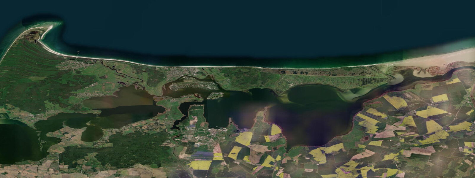
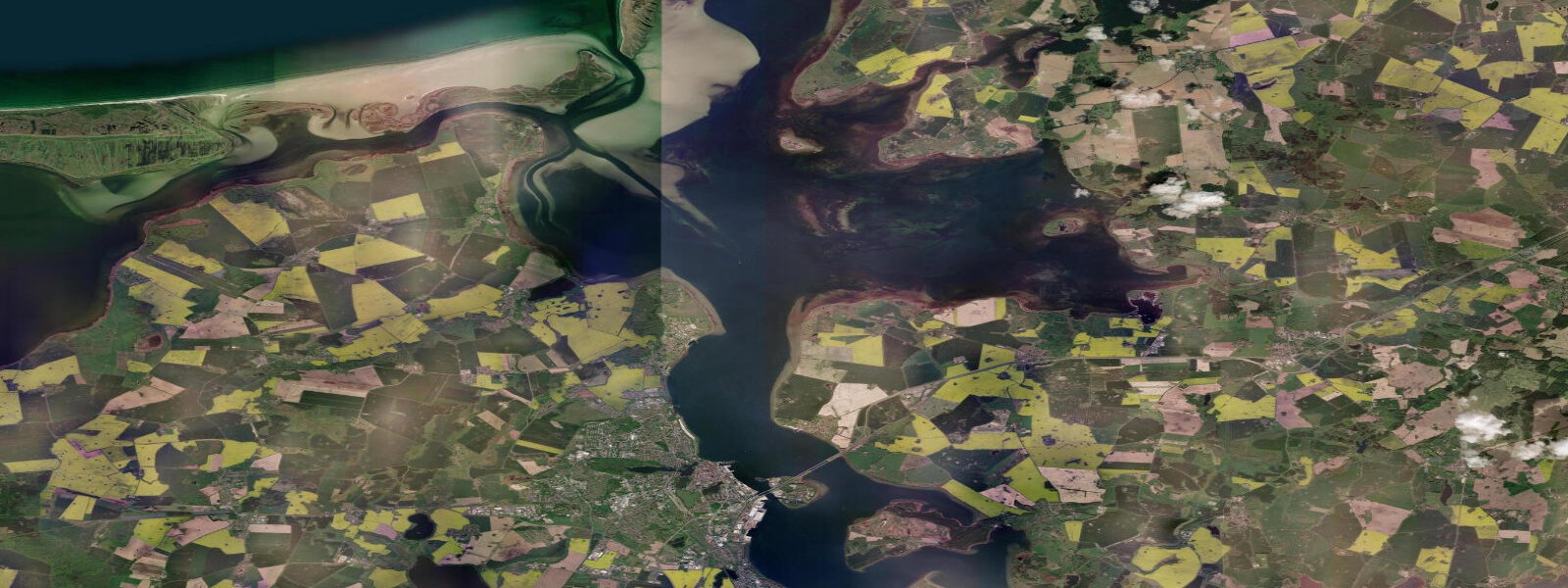
The Fischland-Darß-Zingst peninsula east of Warnemünde is the defining natural landmark of this coast — a narrow spit of pine forest and dune, almost car-free, with the open Baltic on its northern face and the Bodden lagoon system to the south. The Bodden is the characteristic landscape feature of the western Pomeranian coast: shallow, partly enclosed lagoons behind the barrier islands and spits, connected to the open sea through restricted channels that modulate whatever small tidal or wind-setup signal reaches them. Water levels in the Bodden respond to wind setup even more markedly than the open coast because the restricted connections mean wind-driven water piles up and cannot escape quickly.
Prerow and Zingst, on the Darß peninsula, are the primary kitesurf and windsurf locations for this coast — the consistent Baltic sea breeze in summer and the strong autumnal NE wind events make this a committed wind-sports destination. The near-atidal character is actually an advantage for wind sports: there are no tide-dependent launch windows, no significant tidal current in the water, and the Bodden lagoon provides a flat-water option when the open Baltic is rough. For sailors, the lack of tide means anchoring and mooring decisions are not dominated by tidal stream and range calculations — but the wind-setup water level variations mean depth readings on charts can be significantly off during sustained wind events.
Always apply the BSH forecast correction when working shallows in the Bodden or approaching the Darß shore. Anglers fishing the Warnemünde groyne tips and the rocky training walls at the harbour mouth target sea trout (Meerforelle) and herring — the sea trout run in autumn is the principal seasonal event on the southern Baltic coast, with fish moving into river mouths including the Warnow from September through November. 3 metres on height.
3 metres) that wind-driven water level changes will frequently exceed the entire astronomical tidal range. Monitor BSH coastal water level forecasts alongside any tide-time information here.
Tide questions about Rostock
Quick answers to the most common questions about tide times, range, and water access at Rostock.
Does Rostock have proper tides?
Not in the way most coastal locations do. The astronomical tidal range at Rostock is less than 0.3 metres — the moon and sun produce almost no measurable water level change here. The Baltic Sea is a nearly enclosed basin connected to the North Atlantic only through narrow, shallow Danish straits, and the tidal signal is almost entirely suppressed by the basin geometry. What drives water level changes at Rostock and along the German Baltic coast is not the tide but the wind — specifically the Windstau (wind setup) effect. A sustained northeast wind can raise water levels 1.0 to 1.5 metres above mean; sustained southwest winds can depress them 0.5 to 0.8 metres below. The BSH (Federal Maritime and Hydrographic Agency) issues coastal water level forecasts that account for wind setup and are more operationally relevant than tide tables here.
What is Windstau and how does it affect the Rostock coast?
Windstau is the German term for wind-driven water level setup — the piling up of water against a coast when sustained wind pushes across an enclosed or semi-enclosed basin. On the German Baltic coast, strong northeast winds blow across hundreds of kilometres of Baltic Sea and push water toward the Mecklenburg shore, raising levels 1.0 to 1.5 metres above mean. This can happen several times per year and is the major coastal flooding risk along this coast — far more significant than any astronomical tide effect. The reverse process, called Windabsenkung or Auslauf, depresses levels when southwest winds prevail. The BSH in Hamburg and Rostock monitors this continuously and issues coastal water level forecasts. Sailors, kayakers, kite surfers, and anyone launching from low-lying shores should check the BSH forecast rather than a conventional tide table before going afloat.
Where does the water level data for Rostock come from?
The predictions on this page come from Open-Meteo Marine, a global gridded ocean model — model-derived, not from a local gauge, and typically accurate within plus or minus 45 minutes on timing and 0.2 to 0.3 metres on height. At Rostock the astronomical tidal range is itself less than 0.3 metres, so wind-driven water level variations will regularly exceed the entire tidal signal. The authoritative source for German Baltic water levels is the BSH (Bundesamt für Seeschifffahrt und Hydrographie — Federal Maritime and Hydrographic Agency), which operates the German tide gauge network including the Warnemünde gauge and publishes real-time water level data and wind-setup forecasts at bsh.de. For operational planning on the Baltic coast, BSH is the reference.
What activities work well from Rostock/Warnemünde given the near-atidal conditions?
The near-atidal Baltic is actually well-suited to several activities. Kite surfing and windsurfing at Warnemünde beach and on the Fischland-Darß-Zingst peninsula benefit from consistent Baltic sea breeze in summer and strong autumnal NE wind events — and there are no tide-dependent launch windows or significant tidal currents to complicate entries and exits. Dinghy sailing in the Bodden lagoon system has the same advantage, with flat water on offer when the open Baltic is rough. Shore anglers fish the groyne tips and harbour training walls for sea trout and herring, particularly during the sea trout autumn run from September to November. The wide Warnemünde beach is conventional sand-beach swimming in summer — the low tidal variation means the beach width stays consistent across the day. Kayakers in the Bodden should monitor BSH water level forecasts before committing to routes through shallow channels.
Is the Baltic coast around Rostock safe for sailing?
The near-atidal Baltic removes one of the usual hazards in macrotidal waters — there are no strong tidal streams, no rapid tide-driven depth changes, and no tidal windows to plan around. That makes passage planning simpler in one respect. The relevant hazard is the wind-driven water level variation. Shallow areas — particularly the Bodden lagoon channels, the approaches to the Darß shore, and areas marked as drying in BSH charts — can be significantly shallower or deeper than charted mean level during sustained wind events. A strong northeast Windstau event can add over a metre of depth on exposed shores, while an Auslauf event can subtract 0.5 to 0.8 metres and ground a vessel in an area that appeared safe on the chart. Always apply the BSH coastal water level forecast when working shallows on this coast. The major ferry and cargo routes through the Rostock fairway carry large vessels; keep clear of the dredged approach channels.
8-day tide table — Rostock
Heights relative to MSL. Predictions: Open-Meteo Marine (MeteoFrance SMOC, 0.08° grid) — heights relative to MSL (not chart datum / LAT). Model-derived.
| Day | Type | Time | Height |
|---|---|---|---|
| Fri 31 Jul | Low | 06:00 | -0.1m |
| Sat 01 Aug | High | 09:00 | 0.0m |
| Sun 02 Aug | Low | 04:10 | -0.2m |
| Mon 03 Aug | High | 11:00 | -0.0m |
| Low | 14:00 | -0.1m | |
| Tue 04 Aug | — | ||
| Wed 05 Aug | High | 05:00 | -0.1m |
| Low | 07:00 | -0.1m | |
| Thu 06 Aug | — | ||
| Fri 07 Aug | High | 01:00 | -0.2m |