Marseille, Provence tide times
Marseille, Provence tide forecast — heights relative to MSL.
Today's tide times for Marseille, Provence
Tide times at Marseille, Provence on Sunday, 26 July 2026: first low tide at 13:00. Sunrise 06:21, sunset 21:08.
Tide chart for Marseille, Provence
24-hour cosine-interpolated curve around the present moment. Heights relative to MSL. Predictions: Predictions: Open-Meteo Marine (MeteoFrance SMOC, 0.08° grid).
Sun, moon and conditions on Sun 26 Jul
Snapshot at build time — refreshes daily. Sea state from Open-Meteo Marine.
Highs and lows next 7 days
Every predicted high and low for the next week, with the daily tidal coefficient (0–120; higher = bigger swing, > 95 means stronger currents).
Other spots nearby
The three closest curated TideTurtle locations to Marseille, Provence, measured by great-circle distance.
Today's solunar windows
Solunar tradition: major periods are the ≈3h windows around moon transit and opposition; minor are ≈2h around moonrise and moonset. Pair with the local tide stage and wind for the best read.
About tides at Marseille, Provence
A short guide to the coastline at Marseille, Provence — geography, sea state, and what the tide is actually doing under your feet.
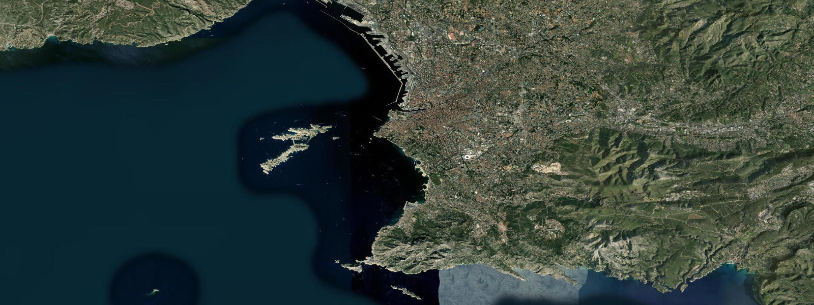
Marseille fronts the Mediterranean on France's southern coast, the country's oldest city and second-largest port, founded by Greek colonists from Phocaea in 600 BCE on the Vieux-Port that still anchors the modern town. The city wraps the working harbour with the limestone cliffs of the calanques running south-east toward Cassis, the Frioul archipelago and the Château d'If lying offshore, and the long urban beach corridor at the Prado running south-west toward L'Estaque and the Gulf of Fos beyond. 4 metres and neaps dropping near flat.
The astronomical signal is genuinely tiny because the Mediterranean is a nearly enclosed basin and the Atlantic tide cannot propagate cleanly through the narrow Strait of Gibraltar; the lunar forcing is the same everywhere on Earth but the Mediterranean has nothing to amplify it against. What matters far more on a day-to-day basis is meteorological tide — air pressure changes lift or drop sea level by a few centimetres on a calm day, and the mistral wind that funnels down the Rhône valley and out across the Gulf of Lion can shift water levels 30 to 50 centimetres in a matter of hours, sometimes building rapidly when the pressure gradient steepens overnight. The mistral is the defining seasonal force on this coast, capable of running 60-knot gusts for three days running and dropping coastal sea-surface temperatures by ten degrees on the offshore push that the wind generates.
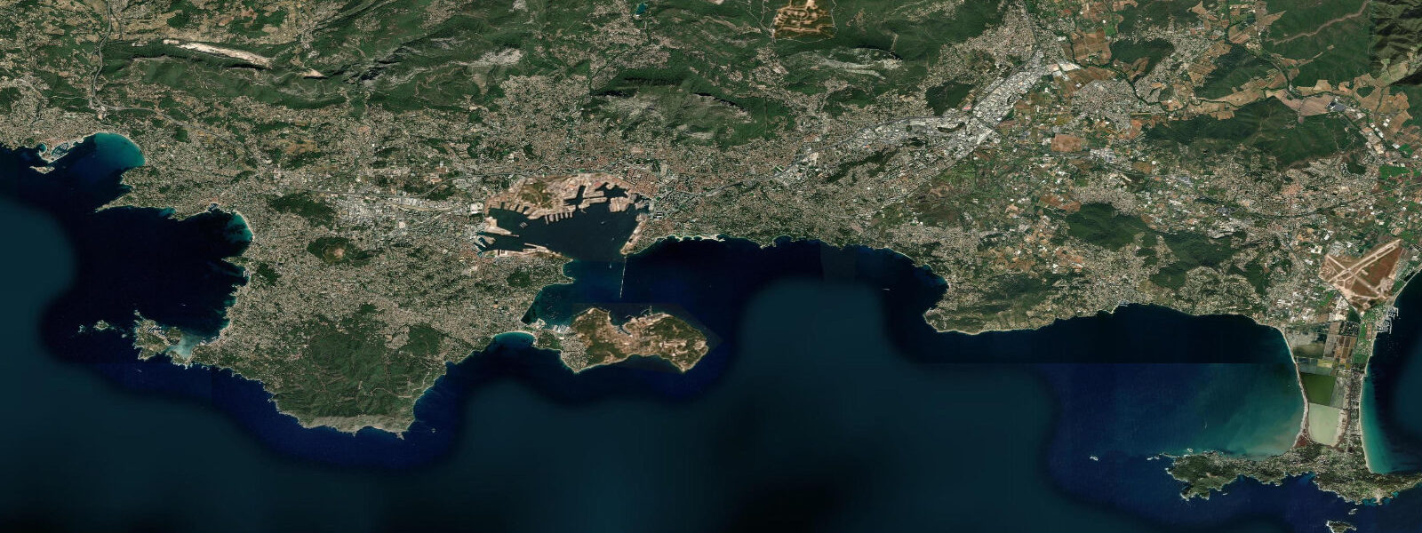
The calanques between Marseille and Cassis open up on the lowest predicted lows for the rocky-shore intertidal walks at Sormiou, Sugiton, En-Vau, and Morgiou, where the white-limestone cliffs drop directly into Mediterranean blue water and the swimming holes are reachable on foot at the bottom of the cycle. The sailing fleet out of the Vieux-Port and the modern Pointe Rouge marina, the working ferries to Corsica and the North African ports from the Marseille passenger terminal, the snorkellers in the Calanques National Park marine reserve, the night-fishing pointus around the Frioul archipelago, and the Pastis-and-pétanque waterfront culture along the Quai du Port and the Quai de Rive Neuve all read the wider weather pattern more than the tide table. Open-Meteo Marine drives the gridded predictions on this page; for authoritative French tide data, SHOM (Service Hydrographique et Océanographique de la Marine) publishes the official tide tables and operates the network of Mediterranean gauges including Marseille, Toulon, and Nice.
Tide questions about Marseille, Provence
Quick answers to the most common questions about tide times, range, and water access at Marseille, Provence.
When is the next high tide at Marseille?
The hero block shows the next high tide at the Marseille port gauge in local French time (CET in winter, CEST in summer, with DST). The 7-day table covers all daily highs and lows. The astronomical tide on this coast is small enough that wind and pressure changes routinely override the predicted signal.
What's the typical tide range at Marseille?
Mean range is about 0.2 metres at the port gauge — a tiny astronomical signal. Spring tides push close to 0.4 metres and neaps drop near flat. The Mediterranean is a nearly enclosed basin and the Atlantic tide cannot propagate cleanly through the Strait of Gibraltar, so the astronomical forcing has nothing meaningful to amplify against on this coast. Meteorological tide — wind and pressure — typically dominates day-to-day water-level variation.
Where do these tide predictions come from?
Open-Meteo Marine, a gridded global ocean model. Useful for planning the calanques walks, the Frioul archipelago crossings, the Vieux-Port sailing windows, and the Calanques National Park snorkel sessions. For authoritative French tide data, SHOM (Service Hydrographique et Océanographique de la Marine) publishes the official tide tables and operates the Marseille reference gauge alongside the Brittany Atlantic stations like Saint-Malo and Brest.
How does the mistral affect water levels at Marseille?
The mistral is a sustained northerly wind that funnels down the Rhône valley and out across the Gulf of Lion when high-pressure builds over central France and a low sits over the western Mediterranean. The wind regularly runs 30 to 50 knots and can hold for three to five days, pushing surface water offshore and dropping apparent sea level at the coast by 30 to 50 centimetres while the same offshore push drops coastal sea-surface temperatures by up to ten degrees through Ekman upwelling. The wind shifts the entire weather day around itself; sailors plan around its arrival and departure rather than around the astronomical tide.
Is this safe to use for navigation?
No. For piloting in or out of the Vieux-Port or the Marseille-Fos commercial harbour, transiting the Calanques coast, or working the Frioul approaches use the SHOM authoritative tide tables, the Marseille pilotage guidance, and the Préfecture maritime de la Méditerranée notices to mariners. Mistral conditions can change the day in hours and demand real-time forecasts.
8-day tide table — Marseille, Provence
Heights relative to MSL. Predictions: Open-Meteo Marine (MeteoFrance SMOC, 0.08° grid) — heights relative to MSL (not chart datum / LAT). Model-derived.
| Day | Type | Time | Height |
|---|---|---|---|
| Sun 26 Jul | Low | 13:00 | -0.5m |
| Mon 27 Jul | High | 20:10 | -0.4m |
| Tue 28 Jul | Low | 14:10 | -0.7m |
| High | 20:50 | -0.4m | |
| Wed 29 Jul | — | ||
| Thu 30 Jul | Low | 04:10 | -0.6m |
| High | 08:50 | -0.5m | |
| Low | 15:10 | -0.7m | |
| High | 22:00 | -0.4m | |
| Fri 31 Jul | — | ||
| Sat 01 Aug | Low | 05:10 | -0.6m |
| High | 10:00 | -0.5m | |
| Low | 16:10 | -0.6m | |
| High | 23:10 | -0.4m | |
| Sun 02 Aug | Low | 01:00 | -0.4m |