Sète tide times
Sète tide forecast — heights relative to MSL.
Today's tide times for Sète
Tide times at Sète on Sunday, 21 June 2026: first high tide at 02:00, first low tide at 09:10. Sunrise 06:04, sunset 21:29.
Tide chart for Sète
24-hour cosine-interpolated curve around the present moment. Heights relative to MSL. Predictions: Predictions: Open-Meteo Marine (MeteoFrance SMOC, 0.08° grid).
Sun, moon and conditions on Sun 21 Jun
Snapshot at build time — refreshes daily. Sea state from Open-Meteo Marine.
Highs and lows next 7 days
Every predicted high and low for the next week, with the daily tidal coefficient (0–120; higher = bigger swing, > 95 means stronger currents).
Other spots nearby
The three closest curated TideTurtle locations to Sète, measured by great-circle distance.
Today's solunar windows
Solunar tradition: major periods are the ≈3h windows around moon transit and opposition; minor are ≈2h around moonrise and moonset. Pair with the local tide stage and wind for the best read.
About tides at Sète
A short guide to the coastline at Sète — geography, sea state, and what the tide is actually doing under your feet.
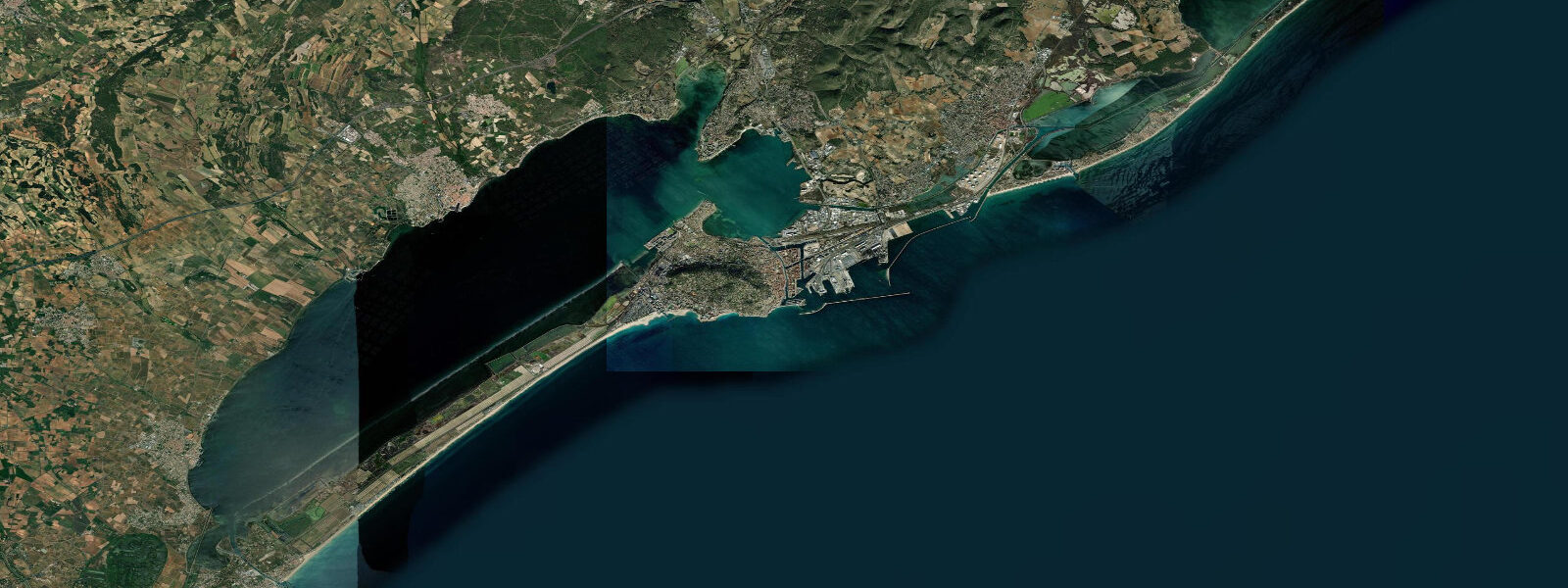
Sète sits on a narrow isthmus between the Mediterranean Sea and the Étang de Thau — a city built on and around water, but not a tidal city in any conventional sense. Mean astronomical tidal range on this coast is under 0.3 metres. The Moon's gravitational pull on the Mediterranean produces a signal, but the sea is semi-enclosed and too small for that signal to amplify into anything that changes how the coast looks or functions.
What drives coastal water levels in Sète is wind and barometric pressure. The Marin — a warm, humid southerly wind that builds across the Gulf of Lion — pushes water onshore. A sustained Marin at 30–40 knots can raise sea level at Sète's harbour by 0.3–0.5 m, occasionally more during severe events. That is more water-level change than the actual astronomical tide produces over an entire 24-hour cycle. The Tramontane, a cold northerly wind channelled from the Massif Central, does the opposite: sea level drops as water is pushed offshore. Barometric pressure adds a further layer — a deep Atlantic low tracking toward the Gulf of Lion can raise coastal water levels by 20–30 cm through the inverse barometer effect.
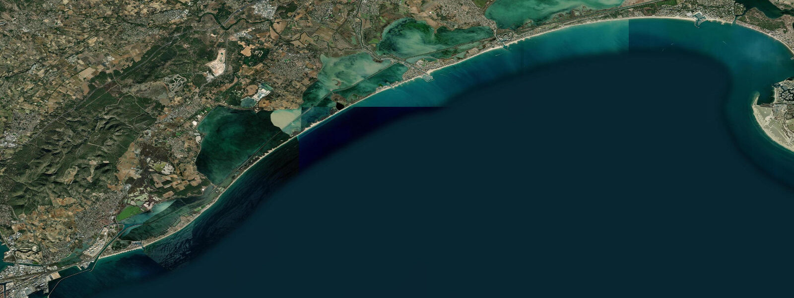
The Étang de Thau, the large lagoon immediately behind Sète, is the heart of the regional oyster and mussel industry. Water exchange between the étang and the open sea occurs through narrow grau channels; tidal exchange is minimal and the lagoon level is primarily driven by wind-forced exchange and seasonal variation. The lagoon sits roughly level with the sea, and Sète's characteristic canal network — the basis for comparisons to Venice — connects the two water bodies.
The traditional water jousting (joutes languedociennes) performed from boats in the canals during the St-Louis festival in August is entirely independent of tide. The canal water level is managed by hydraulic control, not tidal flow.
For sea-level information at Sète, the operative inputs are the wind forecast (direction and strength), the barometric pressure trend, and the seasonal background level (Mediterranean sea level peaks in autumn, roughly 15–20 cm above the spring low). SHOM maintains observation data for the Sète gauge and is the authoritative source for coastal water level records.
Tide predictions for Sète from Open-Meteo Marine show the residual astronomical signal (±45 min, ±0.2–0.3 m accuracy in this low-range environment). Treat the height values as a baseline — actual conditions will deviate based on wind and pressure.
Tide questions about Sète
Quick answers to the most common questions about tide times, range, and water access at Sète.
Does Sète have real tides?
Sète's astronomical tidal range is under 0.3 metres — small enough that it is rarely perceptible at the waterfront without measurement. The Mediterranean is a semi-enclosed sea with limited connection to the Atlantic, which prevents the tidal wave from amplifying. In practice, wind and barometric pressure move coastal water levels at Sète by more than the astronomical tide does. The sea-level information on this page shows the residual tidal signal as context, but wind-driven setup and atmospheric pressure are the dominant forces here.
What causes high water events in Sète?
The main drivers are the Marin wind (a warm southerly) and low barometric pressure. A sustained Marin at 30–40 knots can push sea level 0.3–0.5 m above baseline; severe Marin episodes during winter storms have produced levels 0.8 m or more above mean. A barometric low tracking across the Gulf of Lion adds roughly 1 cm per hPa of pressure drop below 1013 hPa. These wind-surge events are the primary flood risk for Sète's low-lying canal districts, not astronomical tides.
What is the Étang de Thau and how does it connect to the sea?
Étang de Thau is a large coastal lagoon — roughly 75 km² — immediately west and north of Sète, separated from the Mediterranean by the narrow sandy barrier on which Sète is built. Connection to the sea occurs through two grau channels (the channel at Sète itself and the Grau de Palavas system). Tidal exchange through these channels is small; lagoon levels respond mainly to wind-driven exchange and seasonal Mediterranean sea level variation. The étang supports extensive oyster and mussel aquaculture.
When is the best time to visit Sète for the water jousting festival?
The traditional joutes languedociennes reach their peak during the Fête de la Saint-Louis, held in late August — typically the third week of August, centred on 25 August. Jousting matches take place on the Canal Royal, the main canal running through the city centre. The festival has no dependency on tide or sea conditions; the canal level is controlled independently of the sea. The late-August timing also coincides with Mediterranean sea level near its seasonal high, which can marginally affect conditions outside the canal but does not affect the jousting.
Where do I find official sea-level and coastal data for Sète?
Sea-level predictions on this page use Open-Meteo Marine data (±45 min, ±0.2–0.3 m). Given the minimal astronomical tidal signal on this coast, that accuracy is more than sufficient for recreational planning. For authoritative coastal water level records, storm-surge warnings, and navigation data, consult SHOM at shom.fr — SHOM maintains the Sète tide gauge and publishes the reference data for this coastline. For navigation in the Étang de Thau and the canal network, use current-edition Navicarte charts.
4-day tide table — Sète
Heights relative to MSL. Predictions: Open-Meteo Marine (MeteoFrance SMOC, 0.08° grid) — heights relative to MSL (not chart datum / LAT). Model-derived.
| Day | Type | Time | Height |
|---|---|---|---|
| Sun 21 Jun | High | 02:00 | -0.5m |
| Low | 09:10 | -0.7m | |
| Mon 22 Jun | — | ||
| Tue 23 Jun | — | ||
| Wed 24 Jun | High | 04:00 | -0.5m |
| Low | 11:10 | -0.6m | |