Palavas-les-Flots tide times
Palavas-les-Flots tide forecast — heights relative to MSL.
Today's tide times for Palavas-les-Flots
Tide times at Palavas-les-Flots on Sunday, 21 June 2026: first high tide at 02:00, first low tide at 09:00. Sunrise 06:03, sunset 21:28.
Tide chart for Palavas-les-Flots
24-hour cosine-interpolated curve around the present moment. Heights relative to MSL. Predictions: Predictions: Open-Meteo Marine (MeteoFrance SMOC, 0.08° grid).
Sun, moon and conditions on Sun 21 Jun
Snapshot at build time — refreshes daily. Sea state from Open-Meteo Marine.
Highs and lows next 7 days
Every predicted high and low for the next week, with the daily tidal coefficient (0–120; higher = bigger swing, > 95 means stronger currents).
Other spots nearby
The three closest curated TideTurtle locations to Palavas-les-Flots, measured by great-circle distance.
Today's solunar windows
Solunar tradition: major periods are the ≈3h windows around moon transit and opposition; minor are ≈2h around moonrise and moonset. Pair with the local tide stage and wind for the best read.
About tides at Palavas-les-Flots
A short guide to the coastline at Palavas-les-Flots — geography, sea state, and what the tide is actually doing under your feet.
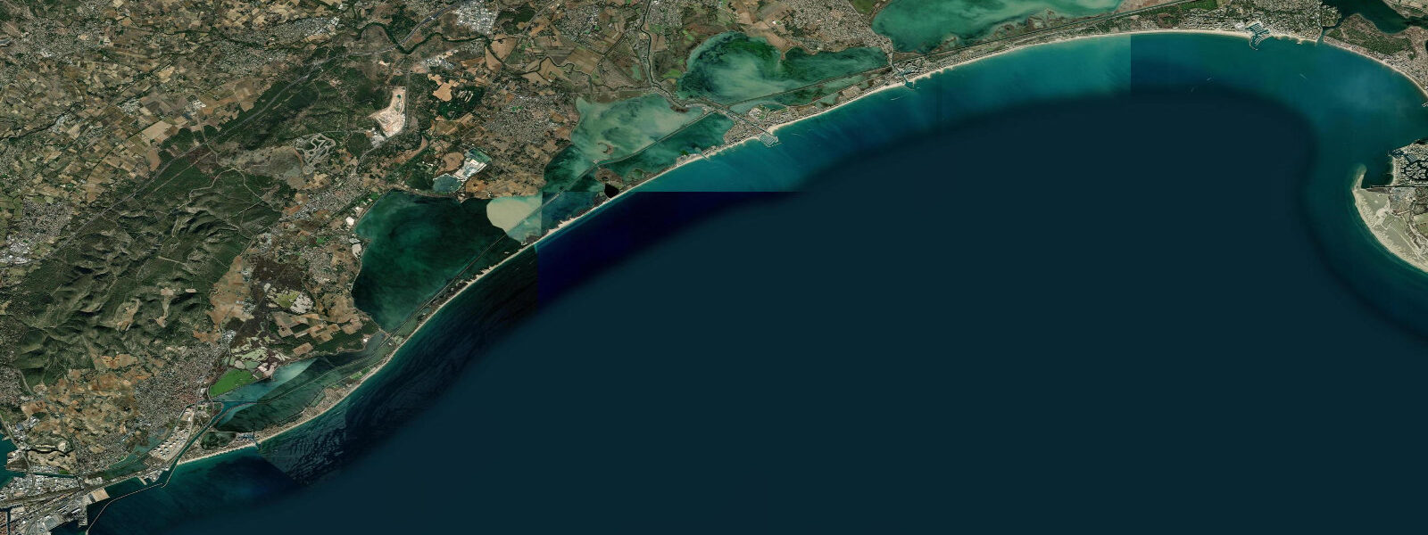
Palavas-les-Flots is built directly on the barrier beach — a thin strip of sand separating the Mediterranean from the Étang de Palavas and the Étang de l'Arnel, a chain of coastal lagoons that stretch west toward Montpellier. The town's central canal splits the barrier strip in two, and the beach runs east-west along the seaward face. It is a classic Mediterranean coastal village: flat, exposed, with sea on one side and lagoon on the other.
The astronomical tidal range here is under 0.3 metres — consistent with the rest of the Languedoc coast. The Mediterranean's semi-enclosed geometry means the gravitational tide produces almost no vertical water-level change at the coast. The bar, the beach, and the canal waterfront look essentially the same at 'high tide' as they do at 'low tide' in any practical sense.
Coastal water levels at Palavas are governed by wind. The Marin, the southerly maritime wind that builds across the Gulf of Lion, is the main driver of water-level rise. During a strong Marin event (30–50 knots), water is pushed against the barrier beach coastline and levels can rise 0.3–0.5 m above baseline. This is the mechanism behind the periodic flooding of low-lying streets near the canal mouth. The Tramontane, coming from the northwest, does the inverse — it flattens the sea surface and can lower coastal levels slightly. Both winds are seasonal: the Marin is more common in autumn and spring; the Tramontane is strongest in winter.
Barometric pressure influences water level independently of wind: the inverse barometer effect means a 10 hPa pressure drop raises sea level approximately 10 cm. A deep low sitting over the Gulf of Lion during a Marin episode compounds both effects.
The Étang de Palavas behind the barrier exchanges water with the sea through the Grau de Prévost and the Grau du Lez channels. Lagoon levels respond slowly to wind-driven exchange; the étang supports flamingo populations (Flamant rose), grey herons, and wading birds visible year-round.
Sea temperature at Palavas typically ranges from about 13°C in February to 24–25°C in August. The beach faces almost due south, maximising sun exposure throughout the day.
Sea-level information here reflects the residual astronomical signal from Open-Meteo Marine (±45 min, ±0.2–0.3 m). For actual water-level conditions on any given day, the wind and pressure forecast is more informative than the tide prediction.
Tide questions about Palavas-les-Flots
Quick answers to the most common questions about tide times, range, and water access at Palavas-les-Flots.
Why are the tides so small at Palavas-les-Flots?
The Mediterranean is a semi-enclosed sea connected to the Atlantic only through the narrow Strait of Gibraltar, which severely restricts the tidal wave from entering and amplifying. Open ocean tidal ranges in the North Atlantic reach 1–4 m; by the time the tidal signal propagates into the western Mediterranean, it diminishes to under 0.3 m along the Languedoc coast. Wind-driven water level changes and barometric pressure variations are larger in scale than the astronomical tide here.
What is the Étang de Palavas and can I visit it?
Étang de Palavas is a coastal lagoon immediately behind the town, separated from the sea by the barrier strip on which Palavas is built. The lagoon is accessible by boat from the canal and by walking or cycling the lagoon-side paths. It supports notable birdlife including flamingos (flamants roses), herons, and egrets visible year-round. The lagoon exchanges water with the sea through narrow grau channels; tidal exchange is minimal. Kayak rentals are available in town for exploring the lagoon margins.
When does flooding occur at Palavas?
Flooding risk at Palavas is associated with strong Marin episodes — southerly wind events that push Mediterranean water against the barrier coast and into the canal mouth. Events with Marin winds sustained above 40 knots, combined with low barometric pressure, can raise sea level 0.5 m or more above baseline. The town's lowest-lying streets near the canal are most vulnerable. Autumn (October–November) is the highest-risk season, when the Marin is climatologically most intense and Mediterranean sea level sits near its seasonal high.
What is the sea temperature at Palavas?
Mediterranean sea temperature at Palavas ranges from a winter minimum of about 12–13°C in February to a summer maximum of 24–25°C in August. The sea warms relatively quickly in spring — swimable temperatures (above 20°C) typically arrive by late June and persist through September. Water clarity is generally good in summer as the Mediterranean is low-nutrient and the barrier beach system limits river sediment input to the nearshore zone.
Are these tide predictions accurate for Palavas, and where do I get official data?
Sea-level predictions here are generated from Open-Meteo Marine models with an accuracy of approximately ±45 minutes and ±0.2–0.3 m. On a coast where total astronomical tidal range is under 0.3 m, that accuracy is adequate for general information. For official coastal water level data and storm-surge information, consult SHOM at shom.fr. For any navigation through the Grau channels, use current-edition Navicarte charts — the channels are shallow, variable, and require local knowledge.
5-day tide table — Palavas-les-Flots
Heights relative to MSL. Predictions: Open-Meteo Marine (MeteoFrance SMOC, 0.08° grid) — heights relative to MSL (not chart datum / LAT). Model-derived.
| Day | Type | Time | Height |
|---|---|---|---|
| Sun 21 Jun | High | 02:00 | -0.5m |
| Low | 09:00 | -0.7m | |
| Mon 22 Jun | — | ||
| Tue 23 Jun | High | 03:00 | -0.5m |
| Wed 24 Jun | Low | 11:10 | -0.6m |
| Thu 25 Jun | High | 04:50 | -0.5m |
| Low | 11:50 | -0.6m | |