Cap d'Agde tide times
Cap d'Agde tide forecast — heights relative to MSL.
Tide chart for Cap d'Agde
24-hour cosine-interpolated curve around the present moment. Heights relative to MSL. Predictions: Predictions: Open-Meteo Marine (MeteoFrance SMOC, 0.08° grid).
Sun, moon and conditions on Sun 21 Jun
Snapshot at build time — refreshes daily. Sea state from Open-Meteo Marine.
Highs and lows next 7 days
Every predicted high and low for the next week, with the daily tidal coefficient (0–120; higher = bigger swing, > 95 means stronger currents).
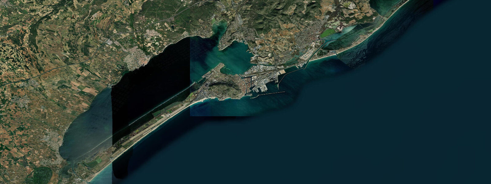
Other spots nearby
The three closest curated TideTurtle locations to Cap d'Agde, measured by great-circle distance.
Today's solunar windows
Solunar tradition: major periods are the ≈3h windows around moon transit and opposition; minor are ≈2h around moonrise and moonset. Pair with the local tide stage and wind for the best read.
About tides at Cap d'Agde
A short guide to the coastline at Cap d'Agde — geography, sea state, and what the tide is actually doing under your feet.
Cap d'Agde is geologically distinct from the rest of the Languedoc coast. Where Sète and Palavas sit on flat sandy barriers, Cap d'Agde is built on a volcanic cape — a basalt headland formed by the Agde volcano, last active around 750,000 years ago. The dark volcanic rock contrasts sharply with the pale sand beaches on either side and gives the cape a different profile: exposed, rocky in places, with natural breakwaters that define sheltered harbour water on the western (Herault river) side.
The Hérault river enters the sea just west of Cap d'Agde. Unlike the Loire at Saint-Nazaire, there is no meaningful tidal bore or estuarine amplification — Mediterranean tidal range is too small. The river mouth is a bar-built estuary, and the Grau d'Agde channel connects the river system to the Étang de Thau via inland waterway.
Mean astronomical tidal range at Cap d'Agde is under 0.3 metres. This is consistent across the entire Languedoc coast; the volcanic cape does not create any local tidal amplification. Sea-level conditions here are governed by wind — primarily the Marin (south/southwest), which pushes water onshore and can raise levels 0.3–0.5 m above baseline during strong episodes, and the Tramontane (northwest), which lowers levels and often arrives with sudden clarity after a Marin episode. The Mistral (west-northwest, channelled through the Rhône valley further east) has less direct influence at Cap d'Agde than at Marseille or the Camargue coast.
The marina at Cap d'Agde is one of the largest in Europe, with capacity for over 2,000 vessels. Marina water level is largely independent of tidal variation — the lock-controlled inner basin maintains a stable level; only the outer harbour and approaches see the residual Mediterranean tidal signal. The approach channel depth and the outer harbour sea state are more dependent on swell and wind conditions than on tide height.
The naturist village (Village Naturiste), established in the 1970s, occupies the southeastern quarter of the resort. At roughly 90 ha, it is Europe's largest naturist resort. It is entirely unrelated to tidal conditions.
Beach conditions at Cap d'Agde vary with aspect: the main town beaches face south and are exposed to southerly Marin swell; the beaches to the west near the Hérault mouth are more sheltered. Water temperature follows the regional Mediterranean pattern — around 13°C in winter, 24–25°C in August.
Sea-level predictions here are from Open-Meteo Marine (±45 min, ±0.2–0.3 m). For navigation in the marina approach and the Grau d'Agde, use current-edition Navicarte charts and SHOM data.
Tide questions about Cap d'Agde
Quick answers to the most common questions about tide times, range, and water access at Cap d'Agde.
Why is Cap d'Agde built on dark rock when the rest of the coast is sandy?
Cap d'Agde sits on a volcanic basalt outcrop — the remnant of a volcano that was active approximately 750,000 years ago. The Agde volcano produced the basalt ridge that forms the cape, and the dark stone was historically quarried for building the town of Agde itself (one of the oldest continuously inhabited towns in France). The hard volcanic rock resists the coastal erosion that continuously reshapes the sandy barrier beaches to either side, making Cap d'Agde a stable geographic feature on an otherwise low and dynamic shoreline.
Does the marina at Cap d'Agde have tidal restrictions?
The inner marina basins have lock-controlled access that maintains a relatively stable water level. Tidal variation is under 0.3 m on this coast, so depth in the approach channel is more dependent on wind-driven sea state and swell than on the tide. The outer harbour and the Grau d'Agde entrance channel are subject to bar conditions and swell; navigation timing decisions should be based on sea state and swell forecasts rather than tide height. Consult current Navicarte charts and the marina authority for approach guidance.
What drives sea level changes at Cap d'Agde?
Wind and barometric pressure dominate. The Marin — a warm, humid southwesterly wind — builds across the Gulf of Lion and pushes water against the coast; strong Marin events can raise sea level 0.3–0.5 m above baseline. The Tramontane, a cold northwesterly, lowers levels and typically arrives with clear skies and calmer seas. Low barometric pressure adds approximately 1 cm per hPa below 1013 hPa through the inverse barometer effect. Astronomical tides contribute under 0.3 m of total range — less than a typical Marin episode produces in a few hours.
What are the best beaches at Cap d'Agde for swimming?
The main town beaches (Plage Richelieu, Plage du Môle) face south toward the Gulf of Lion and are broad, sandy, and well-served by the resort infrastructure. They receive the benefit of the volcanic cape's partial shelter from westerly swell. Plage de la Tamarissière, west of the Hérault river mouth, is quieter and has a more natural character. Sea temperature is comfortable for swimming from late June through September, peaking around 24–25°C in August. There are no tidal restrictions on swimming — the range is under 0.3 m.
Where do I find official coastal and navigation data for Cap d'Agde?
Sea-level predictions on this page are generated from Open-Meteo Marine models (±45 min, ±0.2–0.3 m). For official coastal water level records and storm-surge data, consult SHOM at shom.fr. For navigation in the Cap d'Agde marina approach, the Grau d'Agde channel, and the Hérault river mouth, use current-edition Navicarte charts and follow the marina authority's guidance on approach conditions. Do not use this page as a substitute for official charts and hydrographic sources when navigating.
8-day tide table — Cap d'Agde
Heights relative to MSL. Predictions: Open-Meteo Marine (MeteoFrance SMOC, 0.08° grid) — heights relative to MSL (not chart datum / LAT). Model-derived.
| Day | Type | Time | Height |
|---|---|---|---|
| Sun 21 Jun | — | ||
| Mon 22 Jun | High | 02:50 | -0.5m |
| Low | 10:00 | -0.7m | |
| Tue 23 Jun | High | 03:00 | -0.5m |
| Low | 22:50 | -0.6m | |
| Wed 24 Jun | High | 04:00 | -0.5m |
| Low | 11:10 | -0.6m | |
| Thu 25 Jun | — | ||
| Fri 26 Jun | — | ||
| Sat 27 Jun | High | 06:00 | -0.5m |
| Sun 28 Jun | Low | 01:00 | -0.5m |