Douarnenez tide times
Douarnenez tide forecast — heights relative to MSL.
Today's tide times for Douarnenez
Tide times at Douarnenez on Friday, 19 June 2026: first low tide at 02:00, first high tide at 08:15, second low tide at 14:28, second high tide at 20:37. Sunrise 06:16, sunset 22:20.
Tide chart for Douarnenez
24-hour cosine-interpolated curve around the present moment. Heights relative to MSL. Predictions: Predictions: Open-Meteo Marine (MeteoFrance SMOC, 0.08° grid).
Sun, moon and conditions on Fri 19 Jun
Snapshot at build time — refreshes daily. Sea state from Open-Meteo Marine.
Highs and lows next 7 days
Every predicted high and low for the next week, with the daily tidal coefficient (0–120; higher = bigger swing, > 95 means stronger currents).
Other spots nearby
The three closest curated TideTurtle locations to Douarnenez, measured by great-circle distance.
Today's solunar windows
Solunar tradition: major periods are the ≈3h windows around moon transit and opposition; minor are ≈2h around moonrise and moonset. Pair with the local tide stage and wind for the best read.
Cycle dates near Douarnenez
Last spring tide on Fri 19 Jun (range 5.0m). Next neap on Wed 24 Jun.
Spring tides cluster around new and full moons (biggest swings). Neap tides land on quarter moons (smallest swings). See the spring tide and neap tide glossary entries for the why.
About tides at Douarnenez
A short guide to the coastline at Douarnenez — geography, sea state, and what the tide is actually doing under your feet.
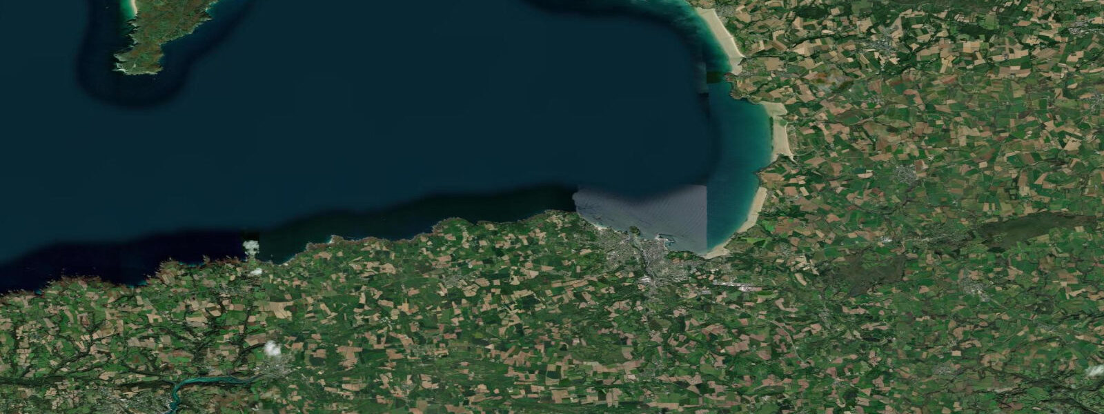
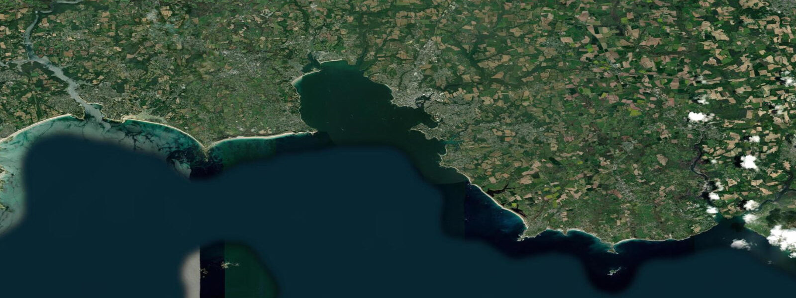
Douarnenez is a fishing port on the south coast of Finistère, at the head of its own bay where the Atlantic coast turns the corner between the Crozon Peninsula to the north and the Cap Sizun headland to the south. 5 metres, driven by the same Bay of Biscay tidal system that produces Finistère's characteristic 5 to 6-metre spring ranges. The bay is broadly exposed to Atlantic SW swell — the outer beaches face the open ocean — but the inner harbour area at Tréboul and Rosmeur is well sheltered from the prevailing westerlies by the curve of the bay and the Île Tristan that sits in the middle of the roadstead.
The sardine industry built this town. At its peak in the late 19th century, Douarnenez was the largest sardine port in France, with dozens of canning factories lining the quays and seasonal workers arriving each summer to process the catch. The fishery collapsed early in the 20th century — the sardine biomass crashed, as it periodically does across the Bay of Biscay — and the canning factories closed one by one.
Today the harbour works on crab, langoustine, gillnet-caught sea bream, and inshore fishing by smaller vessels. The cannery heritage is documented at the Port-Musée (Musée du Bateau), an open-air maritime museum on the Tréboul quay that includes a collection of floating historic vessels: a Thames sailing barge, a pilot schooner, a steam trawler, and other working craft that are accessible to visitors and maintained in working condition. The museum also operates the floating pontoon as a workshop for traditional wooden boat repair — visible to visitors from the quay.
Île Tristan, sitting in the centre of the bay roughly 500 metres off the Rosmeur quay, is accessible on foot across a sand bar at very low spring tides — the causeway emerges for a brief window around the lowest spring low waters, typically the 2 to 3 days around maximum spring range near new and full moon. At neap tides and most of the spring cycle, Île Tristan is surrounded by water and inaccessible without a boat. The island is historically associated with the legend of Tristan and Iseult; the actual reason for the crossing is more prosaic — a restored château, bird observation, and the view back to the two ports.
The outer bay beaches face the Atlantic directly. Plage de Trez-Bellec on the north side of the bay and Plage des Dames, Plage de Sable Blanc, and the beaches of the Anse du Ris on the south side catch the full SW swell on any significant westerly weather. A surf school operates at Plage de Sable Blanc; the break there works consistently on NW to W swell with a moderate tide, with the most manageable conditions around mid-tide on either flood or ebb.
The very low water at spring tides exposes reef and rock on the outer beaches that is permanently submerged at other times — a productive window for shore fishing for bass, pollack, and wrasse, and for exploring the rocky intertidal zone. The tidal current through the bay itself is modest compared with the Raz de Sein tidal race 15 kilometres to the west at the tip of Cap Sizun, but the ebb from the inner harbour can run at 2 to 3 knots in the channel at springs, which is relevant for kayakers rounding the Île Tristan. Predictions on this page come from Open-Meteo Marine, a gridded global ocean model.
3 metres on height — model-derived, not from a local gauge. fr.
Tide questions about Douarnenez
Quick answers to the most common questions about tide times, range, and water access at Douarnenez.
When can you walk to Île Tristan at Douarnenez?
Île Tristan is accessible on foot via a sand bar that emerges only at the lowest spring low tides — the 2 to 3 days around maximum spring range, which occurs near new and full moon each month. The window is brief: the causeway is exposed for roughly 1 to 2 hours around the lowest point of the spring low water before the flood begins to cover it again. At neap tides and through most of the fortnightly spring-neap cycle, the island is surrounded by water. Check this page's tide table for the low water height — accessible crossings typically require a predicted low water of below 0.5 metres at the local datum. Always allow more return time than you think you need, as the flood covers the bar faster than most visitors expect.
What is the tidal range at Douarnenez, and how does it affect the beaches?
Mean spring tidal range at Douarnenez is approximately 5.5 metres, with two high and two low tides each day. Neap range drops to roughly 2 metres. The 5.5-metre spring range means the outer beaches — Plage de Trez-Bellec, Plage des Dames, Plage de Sable Blanc — change substantially between low and high water. At low spring tide, rock platforms and reef exposed on the outer beaches provide access for shore fishing and rockpooling that is unavailable at any other tidal state. At high water on a spring, the beach width narrows considerably and swimming depth is reached close to the shore. Tide timing at Douarnenez shifts by approximately 50 minutes later each day across the lunar month.
What is the Port-Musée at Douarnenez?
The Port-Musée (Musée du Bateau) is an open-air maritime museum on the Tréboul quay in Douarnenez. It holds a collection of floating historic vessels — including a Thames sailing barge, a pilot schooner, a steam trawler, and other working craft — maintained in the harbour and accessible to visitors. The museum also operates as a working yard for traditional wooden boat repair, visible from the quay. The museum documents Douarnenez's sardine industry heritage and the broader history of Breton and European coastal working boats. It is one of the larger floating maritime collections in France and open from spring through autumn.
Is there surf at Douarnenez, and what tide conditions does it need?
Surf breaks in the Douarnenez Bay area face SW to W swell from the Atlantic directly. The main surf beach is Plage de Sable Blanc, where a beach break works consistently on NW to W swell. The most manageable conditions for beginners and intermediates are typically around mid-tide on either the flood or the ebb — the lowest spring tides can expose too much reef and rocks on some sections, while high water at spring tide can eliminate the break altogether. A surf school operates at Sable Blanc. The beaches on the north side of the bay (Plage de Trez-Bellec) also receive swell but tend to be more exposed to wind. Spring through autumn is the most reliable period; winter brings the largest swell but also the most unpredictable conditions.
Where does the tide data for Douarnenez come from, and how accurate is it?
Predictions on this page come from Open-Meteo Marine, a free gridded global ocean model. They are model-derived, not from a dedicated local gauge at Douarnenez — accuracy is typically within plus or minus 45 minutes on timing and 0.2 to 0.3 metres on height. For Douarnenez's 5.5-metre spring range, the height uncertainty is proportionally small, and these predictions are a reliable reference for beach planning, accessing Île Tristan, and timing surf or fishing sessions. For authoritative data, SHOM operates the French national tide gauge network at shom.fr.
8-day tide table — Douarnenez
Heights relative to MSL. Predictions: Open-Meteo Marine (MeteoFrance SMOC, 0.08° grid) — heights relative to MSL (not chart datum / LAT). Model-derived.
| Day | Type | Time | Height |
|---|---|---|---|
| Fri 19 Jun | Low | 02:00 | -3.0m |
| High | 08:15 | 1.9m | |
| Low | 14:28 | -2.7m | |
| High | 20:37 | 2.1m | |
| Sat 20 Jun | Low | 03:01 | -2.8m |
| High | 09:07 | 1.6m | |
| Low | 15:18 | -2.5m | |
| High | 21:28 | 1.7m | |
| Sun 21 Jun | Low | 03:53 | -2.5m |
| High | 10:01 | 1.3m | |
| Low | 16:12 | -2.2m | |
| High | 22:22 | 1.4m | |
| Mon 22 Jun | Low | 04:46 | -2.1m |
| High | 10:57 | 1.1m | |
| Low | 17:10 | -1.9m | |
| High | 23:19 | 1.1m | |
| Tue 23 Jun | Low | 05:44 | -2.0m |
| High | 11:55 | 0.9m | |
| Low | 18:10 | -1.8m | |
| Wed 24 Jun | High | 00:20 | 0.9m |
| Low | 06:43 | -1.8m | |
| High | 12:56 | 0.9m | |
| Low | 19:14 | -1.7m | |
| Thu 25 Jun | High | 01:21 | 0.9m |
| Low | 07:45 | -1.7m | |
| High | 13:54 | 1.0m | |
| Low | 20:18 | -1.7m | |
| Fri 26 Jun | High | 01:00 | 0.6m |