Bénodet tide times
Bénodet tide forecast — heights relative to MSL.
Today's tide times for Bénodet
Tide times at Bénodet on Sunday, 21 June 2026: first high tide at 02:00, first low tide at 03:49, second high tide at 10:10, second low tide at 16:06. Sunrise 06:17, sunset 22:18.
Tide chart for Bénodet
24-hour cosine-interpolated curve around the present moment. Heights relative to MSL. Predictions: Predictions: Open-Meteo Marine (MeteoFrance SMOC, 0.08° grid).
Sun, moon and conditions on Sun 21 Jun
Snapshot at build time — refreshes daily. Sea state from Open-Meteo Marine.
Highs and lows next 7 days
Every predicted high and low for the next week, with the daily tidal coefficient (0–120; higher = bigger swing, > 95 means stronger currents).
Other spots nearby
The three closest curated TideTurtle locations to Bénodet, measured by great-circle distance.
Today's solunar windows
Solunar tradition: major periods are the ≈3h windows around moon transit and opposition; minor are ≈2h around moonrise and moonset. Pair with the local tide stage and wind for the best read.
Cycle dates near Bénodet
Last spring tide on Sun 21 Jun (range 2.8m). Next spring tide on Sat 27 Jun (range 2.6m). Next neap on Wed 24 Jun.
Spring tides cluster around new and full moons (biggest swings). Neap tides land on quarter moons (smallest swings). See the spring tide and neap tide glossary entries for the why.
About tides at Bénodet
A short guide to the coastline at Bénodet — geography, sea state, and what the tide is actually doing under your feet.
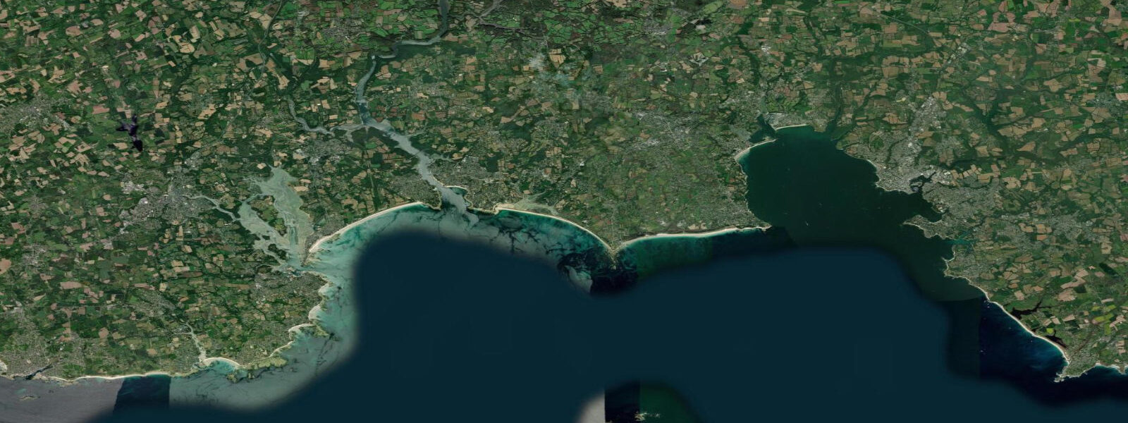
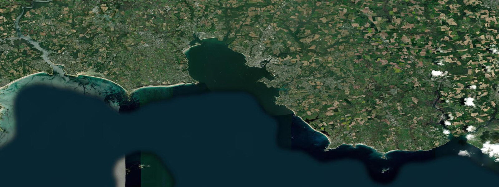
Bénodet stands at the mouth of the Odet river, where one of Brittany's most scenic estuaries opens into the Bay of Biscay 20 km south of Quimper. The river narrows as it goes north — from the open sea approach at Bénodet through wooded gorges past Quimper, where the tidal influence still reaches the city centre and the cathedral sits above a stretch of river that covers and uncovers twice daily. At Bénodet the estuary is broad enough to hold a working marina and a ferry terminal while remaining narrow enough that the ebb current in the main channel runs 1.5–2 knots at mid-tide on springs.
The tidal regime at Bénodet is semidiurnal with a mean range of approximately 3.2 m (Chart Datum). Spring range reaches 4.5–4.8 m; neap range drops to around 1.8–2.0 m. High water at Bénodet occurs roughly 6 hours 10 minutes after Dover standard — the tidal wave has rounded the Pointe du Raz at the tip of the Finistère peninsula and refracted into the inner Baie de la Forêt. The swell climate at the mouth is Atlantic: west and southwest swells enter on flood tide, amplified slightly by the estuary funnel on big ocean events. The beach on the west side of the estuary mouth (Plage de Trez-Melen and the Côte de Cornouaille strand) is exposed enough to surf when a 1–2 metre Atlantic swell is running; the east bank and the marina are sheltered from the southwest by the river geometry.
The Odet upstream from Bénodet is one of the most-visited river routes in Brittany. Boat trips run from the Bénodet marina to Quimper (45 minutes, tide-dependent scheduling) through the wooded estuary known locally as the Odet gorges — steep hillsides of oak and beech dropping to the river, no road alongside for much of the route, the tide visible in the channel colour shift between the green river flow and the sea-green flood water. The boats run on the flood tide and return on the ebb; the schedule is printed against the tide times, not the clock.
Îles de Glénan lie 16 km southwest of Bénodet, visible on a clear day from the estuary mouth as a low line of islands above the horizon. The archipelago — eight main islands and numerous rocks and drying patches — is the principal sailing school destination in Brittany. The Centre Nautique des Glénan, founded in 1947, operates from the island of Saint-Nicolas and has trained several generations of French offshore sailors. The anchorage at Île de Penfret holds 40–60 boats in summer; the holding ground is sand over rock, and the anchorage is exposed to easterly swells. Diving at the Glénan is cited as the clearest water in metropolitan France — visibility 20–25 m in calm conditions in late summer when Atlantic plankton blooms have subsided.
Access to the Glénan from Bénodet is by passenger ferry (June–September, approximately 45 minutes) or by private yacht. The approach through the Glenan channels requires careful chart reading — the rocks are numerous, drying heights vary by 0.5–2.5 m above Chart Datum, and the tidal stream in the outer channels is 1–2 knots on springs. A detailed SHOM chart (1:25,000 series for the Iles de Glénan) and tide table are required for any boat passage. The ferry uses the buoyed approach channel.
For kayakers, the Odet estuary from Bénodet north to Quimper is among the best river touring routes in Finistère: tidal assistance upstream on the flood, calm sheltered water, and consistent scenery. The Glénan are a serious open-water objective — 16 km offshore across a coast with limited shelter and Atlantic swell — appropriate for experienced sea kayakers with support; the ferry is the safer route for most visitors. Surfing the Cornouaille coast beaches south of Quimper — Beg-Meil, La Forêt-Fouesnant — develops in the same Atlantic westerly swell windows that make the Glénan approach uncomfortable for small craft.
Tide data for Bénodet comes from the Open-Meteo Marine API (±45 min / ±0.2–0.3 m). Authoritative tidal reference is published by SHOM for Bénodet and Quimper on the Odet estuary.
Tide questions about Bénodet
Quick answers to the most common questions about tide times, range, and water access at Bénodet.
What is the tidal range at Bénodet?
Bénodet has a semidiurnal tidal regime with a mean range of approximately 3.2 m above Chart Datum. Spring range reaches 4.5–4.8 m; neap range drops to around 1.8–2.0 m. High water occurs roughly 6 hours 10 minutes after Dover standard. The ebb current in the Odet estuary channel runs 1.5–2 knots at mid-tide on springs. Atlantic swell enters on the flood at the river mouth, making the outer beach surf-able in westerly swell conditions. Open-Meteo Marine data here is accurate to ±45 min / ±0.2–0.3 m; SHOM publishes authoritative tables for Bénodet.
How far does the tide travel up the Odet river from Bénodet?
The tidal influence in the Odet extends approximately 20 km upstream to Quimper, where the river passes through the city centre below the Cathédrale Saint-Corentin. At Quimper the range is reduced — typically 2.0–2.5 m on springs — but the tidal colour shift in the river (from the darker inland flow to the lighter sea water on the flood) is visible from the bridges in the city centre. Boat trips from Bénodet to Quimper run on the flood tide and return on the ebb; the schedule follows the tide tables printed with each departure time.
What are the Îles de Glénan and how do I get there?
The Îles de Glénan are an archipelago of eight main islands and numerous rocks 16 km southwest of Bénodet, visible from the estuary mouth on clear days. The islands are known for exceptionally clear water — visibility up to 20–25 m in calm late-summer conditions — and for the Centre Nautique des Glénan, one of Europe's most significant sailing schools. Passenger ferries run from Bénodet and Loctudy in June–September; the crossing takes approximately 45 minutes. Private boats approach via the buoyed channel; the rocks and drying patches in the archipelago require a SHOM chart (1:25,000 series) and tide table for safe navigation.
Is the Odet estuary suitable for kayaking?
The Odet from Bénodet to Quimper (20 km) is an excellent river-touring route: sheltered water, wooded hillsides, no road alongside much of the route, and tidal current that assists the upstream paddle on the flood and the return on the ebb. Plan the upstream leg to coincide with the first two to three hours of flood, reaching Quimper near high water, then returning on the ebb. The estuary mouth at Bénodet is exposed to Atlantic swell; launching in onshore conditions of over 1 m requires experience. The Glénan passage (16 km offshore) is an open-water route suitable for experienced sea kayakers only.
Is the tide data on TideTurtle reliable enough for navigating the Odet estuary or approaching the Glénan by boat?
No. TideTurtle uses Open-Meteo Marine API data with accuracy of approximately ±45 minutes and ±0.2–0.3 m — adequate for planning leisure activities and understanding the general tidal pattern. For boat navigation on the Odet estuary, the timing of the flood current matters for upstream passages and the 1.5–2 knot ebb stream affects departure timing from the marina. For the Glénan approach, drying rocks in the archipelago have heights to 0.5–2.5 m above Chart Datum — a ±0.3 m height error in tidal prediction translates directly to grounding risk. Use SHOM authoritative tables for Bénodet and the SHOM 1:25,000 chart for the Glénan for any navigational planning.
8-day tide table — Bénodet
Heights relative to MSL. Predictions: Open-Meteo Marine (MeteoFrance SMOC, 0.08° grid) — heights relative to MSL (not chart datum / LAT). Model-derived.
| Day | Type | Time | Height |
|---|---|---|---|
| Sun 21 Jun | High | 02:00 | -1.4m |
| Low | 03:49 | -2.1m | |
| High | 10:10 | 0.7m | |
| Low | 16:06 | -1.8m | |
| Mon 22 Jun | High | 11:07 | 0.7m |
| Tue 23 Jun | Low | 05:44 | -1.6m |
| High | 12:08 | 0.6m | |
| Low | 18:11 | -1.5m | |
| Wed 24 Jun | High | 00:33 | 0.6m |
| Low | 06:46 | -1.5m | |
| High | 13:11 | 0.6m | |
| Low | 19:17 | -1.4m | |
| Thu 25 Jun | High | 01:36 | 0.6m |
| Low | 07:45 | -1.4m | |
| High | 14:07 | 0.7m | |
| Low | 20:16 | -1.4m | |
| Fri 26 Jun | High | 02:33 | 0.7m |
| Low | 08:40 | -1.5m | |
| High | 14:56 | 0.8m | |
| Low | 21:09 | -1.5m | |
| Sat 27 Jun | High | 03:19 | 0.7m |
| Low | 09:26 | -1.6m | |
| High | 15:40 | 0.9m | |
| Low | 21:55 | -1.7m | |
| Sun 28 Jun | High | 01:00 | -0.3m |