Brest tide times
Brest tide forecast — heights relative to MSL.
Today's tide times for Brest
Tide times at Brest on Friday, 31 July 2026: first low tide at 02:00, first high tide at 06:17, second low tide at 12:30, second high tide at 18:31. Sunrise 06:50, sunset 21:57.
Tide chart for Brest
24-hour cosine-interpolated curve around the present moment. Heights relative to MSL. Predictions: Predictions: Open-Meteo Marine (MeteoFrance SMOC, 0.08° grid).
Sun, moon and conditions on Fri 31 Jul
Snapshot at build time — refreshes daily. Sea state from Open-Meteo Marine.
Highs and lows next 7 days
Every predicted high and low for the next week, with the daily tidal coefficient (0–120; higher = bigger swing, > 95 means stronger currents).
Other spots nearby
The three closest curated TideTurtle locations to Brest, measured by great-circle distance.
Today's solunar windows
Solunar tradition: major periods are the ≈3h windows around moon transit and opposition; minor are ≈2h around moonrise and moonset. Pair with the local tide stage and wind for the best read.
Cycle dates near Brest
Next spring tide on Sat 01 Aug (range 5.2m). Next neap on Thu 06 Aug.
Spring tides cluster around new and full moons (biggest swings). Neap tides land on quarter moons (smallest swings). See the spring tide and neap tide glossary entries for the why.
About tides at Brest
A short guide to the coastline at Brest — geography, sea state, and what the tide is actually doing under your feet.
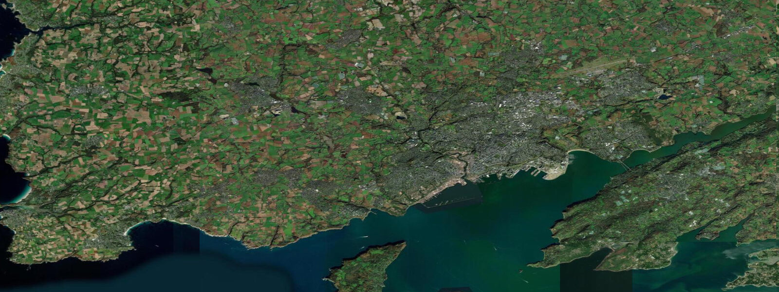
Brest occupies the north shore of the Rade de Brest — a large, semi-enclosed roadstead on the western tip of Brittany — and its tide gauge has been recording sea level without interruption since 1807. That record is not a footnote: it is the foundation for the French national geodetic datum and contributes to the global long-term sea-level datasets used in climate research. The tide at Brest is itself significant.
5 metres. 5 metres. The full variation across the tidal cycle from lowest neap to highest spring is among the largest in France, exceeded in continental Europe only by the Bay of Mont Saint-Michel 80 kilometres to the northeast.
8 kilometres wide at its narrowest and 25 metres deep. All tidal exchange between the Rade and the Iroise Sea passes through this bottleneck. On a spring ebb, the current in the Goulet runs at 4 to 5 knots; the surface over the northern shallows becomes choppy in any wind opposing the stream.
The Goulet's defensibility — one narrow entrance, easily watched, easily blocked — explains why the French Navy established its Atlantic headquarters at Brest in the 17th century. The military presence remains; the southern shore of the Rade is still a restricted zone, and the naval base is among the largest in Europe. For kayakers, the Rade is a genuinely rewarding paddling environment when the Goulet is avoided or timed correctly.
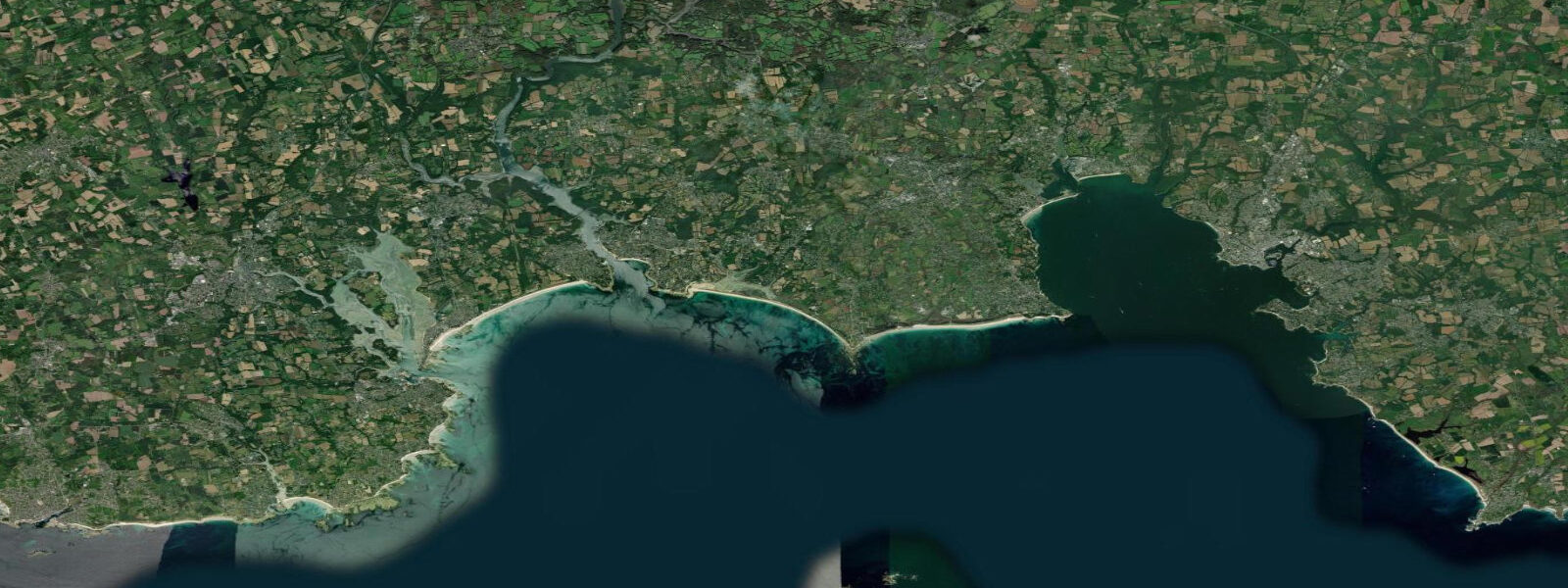
The sheltered inner bay allows multi-day circuits of the coastline, passing the Presqu'île de Crozon to the south and the Élorn river estuary to the east. The Élorn, which drains inland toward Landerneau, carries the tidal signal several kilometres upstream — the river is navigable by small craft on the flood and drains toward mudflats on the ebb. The oyster and mussel farms operating on the intertidal areas of the Rade and the adjacent Aulne river estuary depend on the predictability of the tidal cycle, and their lay-out — long lines of posts and cages across the sand and mud — is visible from the shore at any state of low tide.
South of Finistère, Point du Raz is the tip of the Cap Sizun headland where the coast turns the corner toward the Bay of Biscay. Between the Pointe and the Île de Sein — a low, flat island sitting in the middle of the Raz de Sein — the tidal race runs at up to 8 knots on spring tides. The Chaussée de Sein, the submerged reef field extending northwest of the island, has wrecked vessels for centuries; the Phare d'Ar-Men, built on an isolated rock at the western end of the reef, took 14 years to construct given the tidal and sea-state conditions during construction.
The Iroise Marine Natural Park, formally designated in 2007, encompasses the Île d'Ouessant, the Île de Sein, the Chaussée, and the open Iroise Sea out to the limit of territorial waters. It is among the largest marine protected areas in France. The park's boundaries are defined partly by the tidal races and reef systems that make this corner of Brittany one of the most dynamic marine environments in Europe.
Anglers working the rocky intertidal and subtidal ground around the Pointe du Raz and the coast south of Brest target bass, pollack, and wrasse. The relationship between tidal state and fish position on this coast is direct: the tidal current over the shallow reefs concentrates baitfish and the predators follow. Timing a session around the two-hour window either side of mid-flood or mid-ebb at the right location is the practical skill that separates consistent anglers from occasional ones.
The predictions on this page come from Open-Meteo Marine, a gridded global ocean model. 3 metres on height — model-derived, not a local gauge. 5-metre spring range, the height uncertainty is proportionally small, making these predictions a reliable reference for planning.
Authoritative data comes from SHOM, which operates the Brest gauge and publishes the official French tide tables. Brest also contributes to the Permanent Service for Mean Sea Level (PSMSL) global archive.
Tide questions about Brest
Quick answers to the most common questions about tide times, range, and water access at Brest.
When is the next high tide at Brest?
The tide table at the top of this page shows today's predicted high tide times in local French time — CET in winter (UTC+1), CEST in summer (UTC+2, from late March to late October). Brest has two high tides and two low tides per day, with the cycle shifting by roughly 50 minutes each day through the lunar month. Predictions come from Open-Meteo Marine, accurate to within plus or minus 45 minutes on timing — model-derived, not from the Brest gauge directly. For the authoritative SHOM tide prediction, consult the official Annuaire des marées or the SHOM online tide calculator.
What is the tidal range at Brest, and why is it so large?
Spring range at Brest reaches approximately 6.5 metres; neap range drops to around 2.5 metres. This is one of the largest tidal ranges in France, driven by Brest's position on the open Atlantic coast of Brittany where the tidal wave from the mid-Atlantic arrives without obstruction. The semi-enclosed geometry of the Rade de Brest amplifies the signal slightly. The largest range in France occurs 80 km to the northeast at Mont Saint-Michel, where bay geometry pushes spring tides to 14 metres. The Brest record, continuous since 1807, is the reference point for calculating mean sea level in the French geodetic system.
Where does the Brest tide data come from, and how accurate is it?
Predictions on this page are from Open-Meteo Marine, a free gridded global ocean model — model-derived, not from the physical Brest gauge. Accuracy is typically within plus or minus 45 minutes on timing and 0.2 to 0.3 metres on height. Given Brest's 6.5-metre spring range, the height uncertainty is proportionally small. For authoritative data, SHOM operates the Brest gauge — the longest continuous sea-level record in France — and publishes the official Annuaire des marées. The Brest series also contributes to the PSMSL global sea-level archive used in climate research.
Is sea kayaking in the Rade de Brest and around the Iroise safe?
The Rade de Brest is a well-sheltered environment suitable for intermediate sea kayakers when the wind is moderate and the Goulet is timed correctly. The Goulet — the narrow entrance channel — runs at 4 to 5 knots on spring ebbs; paddling against the current is impractical, but timing a transit around slack water is manageable with planning. The outer Iroise Sea, Point du Raz, and the Raz de Sein race are advanced-to-expert environments requiring formal training, experience in tidal races, and local guide support. The Iroise Marine Natural Park includes restricted zones around the Île d'Ouessant and the Île de Sein that require awareness of navigation rules. Brest's several kayak clubs offer local knowledge and guided trips.
Are there navigation hazards from tidal currents in the Brest area?
Yes, two significant ones. The Goulet de Brest, the entrance channel to the Rade, runs at 4 to 5 knots on spring ebbs — a meaningful current for small craft and one that produces a choppy sea state when opposed by wind. Passage timing around slack water is standard practice. To the south, the Raz de Sein between Point du Raz and the Île de Sein reaches 8 knots on spring tides and is one of the most respected tidal races on the French Atlantic coast. The Chaussée de Sein reef system beyond the island adds a further hazard. Commercial vessels on the coastal route between Biscay and the Channel treat the Raz passage timing as a primary navigation decision. Recreational vessels should consult SHOM charts and pilot guides before attempting the passage.
8-day tide table — Brest
Heights relative to MSL. Predictions: Open-Meteo Marine (MeteoFrance SMOC, 0.08° grid) — heights relative to MSL (not chart datum / LAT). Model-derived.
| Day | Type | Time | Height |
|---|---|---|---|
| Fri 31 Jul | Low | 02:00 | -2.1m |
| High | 06:17 | 1.8m | |
| Low | 12:30 | -2.8m | |
| High | 18:31 | 2.1m | |
| Sat 01 Aug | Low | 00:55 | -3.0m |
| High | 06:52 | 1.9m | |
| Low | 13:04 | -2.9m | |
| High | 19:07 | 2.2m | |
| Sun 02 Aug | Low | 01:27 | -3.0m |
| High | 07:28 | 1.9m | |
| Low | 13:40 | -2.8m | |
| High | 19:44 | 2.2m | |
| Mon 03 Aug | Low | 02:02 | -2.9m |
| High | 08:04 | 1.9m | |
| Low | 14:15 | -2.7m | |
| High | 20:20 | 2.1m | |
| Tue 04 Aug | Low | 02:40 | -2.7m |
| High | 08:44 | 1.8m | |
| Low | 14:55 | -2.5m | |
| High | 21:01 | 1.8m | |
| Wed 05 Aug | Low | 03:18 | -2.6m |
| High | 09:28 | 1.5m | |
| Low | 15:39 | -2.4m | |
| High | 21:50 | 1.5m | |
| Thu 06 Aug | Low | 04:04 | -2.3m |
| High | 10:20 | 1.3m | |
| Low | 16:32 | -2.1m | |
| High | 22:50 | 1.3m | |
| Fri 07 Aug | Low | 01:00 | 0.3m |