Porto-Vecchio tide times
Porto-Vecchio tide forecast — heights relative to MSL.
Today's tide times for Porto-Vecchio
Tide times at Porto-Vecchio on Saturday, 27 June 2026: first low tide at 02:00. Sunrise 05:50, sunset 21:01.
Tide chart for Porto-Vecchio
24-hour cosine-interpolated curve around the present moment. Heights relative to MSL. Predictions: Predictions: Open-Meteo Marine (MeteoFrance SMOC, 0.08° grid).
Sun, moon and conditions on Sat 27 Jun
Snapshot at build time — refreshes daily. Sea state from Open-Meteo Marine.
Highs and lows next 7 days
Every predicted high and low for the next week, with the daily tidal coefficient (0–120; higher = bigger swing, > 95 means stronger currents).
Other spots nearby
The three closest curated TideTurtle locations to Porto-Vecchio, measured by great-circle distance.
Today's solunar windows
Solunar tradition: major periods are the ≈3h windows around moon transit and opposition; minor are ≈2h around moonrise and moonset. Pair with the local tide stage and wind for the best read.
About tides at Porto-Vecchio
A short guide to the coastline at Porto-Vecchio — geography, sea state, and what the tide is actually doing under your feet.
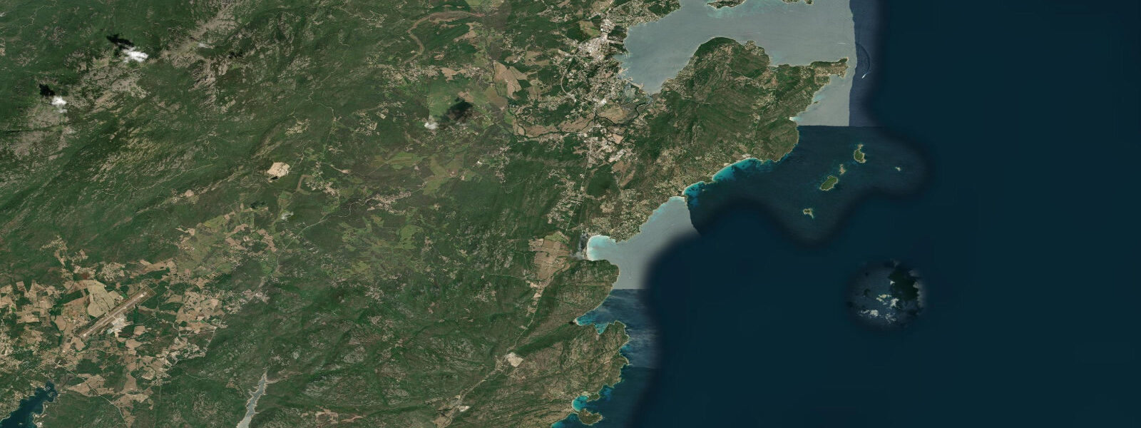
Porto-Vecchio sits in the far south of Corsica, its old Genoese citadel perched on a promontory above a wide, sheltered gulf. The spring tidal range here is 0.25 m — the smallest of the three main Corsican ports — and the sea level pattern is identical to the rest of the western Mediterranean coast: two tides daily of negligible amplitude, with wind and atmospheric pressure doing far more work on the waterline than the Moon. A libeccio blowing 40 knots from the southwest can push 0.3 m of extra water into the gulf in an afternoon; a mistral-influenced low can drop it by a similar margin.
The gulf itself is large — roughly 10 km across — and oriented to open southeast toward the Strait of Bonifacio. The inner anchorages near the town are well sheltered from northerly and westerly winds. The outer gulf and the approaches to Bonifacio, 20 km south, are a different matter: the strait is one of the more demanding stretches of Mediterranean water for small craft, with tidal currents reaching 4–5 knots in the narrows during spring conditions and confused seas when the current opposes the swell. Boats typically pass through Bonifacio Strait on the first hour of the ebb, west-to-east, or the first hour of the flood east-to-west. The current reversal can be tracked on the tidal chart more reliably than the small sea level oscillation.
Palombaggia beach, 8 km south of Porto-Vecchio, appears on most lists of Europe's most beautiful beaches. It is a 1.8 km arc of white sand backed by pine and cork-oak forest, with clear turquoise water and granite boulders scattered in the shallows that create natural snorkelling zones at any state of the tide. The 0.25 m tidal range does not alter beach character in any meaningful way — the same width of sand is exposed whether the water is at high or low. The boulders expose slightly more rock platform at low water, which improves access for snorkellers working the base of the rocks. Underwater visibility runs 8–15 m depending on recent wind.
Freedivers and spearfishers work the granite boulder zones along the southern coast, specifically around the Îles Cerbicale nature reserve 3 km offshore. The reserve has a core protected zone where all fishing and anchoring are prohibited — verify the current maps before entering. Outside the reserve boundary, the depth drops quickly from 5 m at the boulder bases to 20 m in the sand channels between the granite formations. Grouper, dentex, and saddled bream are the prime targets in season.
Sea-kayaking is well suited to the gulf's sheltered inner bays. The route from Porto-Vecchio marina to Palombaggia by kayak is about 6 km, hugging the eastern shore past limestone cliffs and small coves accessible only from the water. A second popular route runs from the marina to the Punta di a Chiappa headland, where a lighthouse marks the entrance to the gulf. Currents are wind-driven and variable; the morning is consistently calmer than the afternoon.
Families dominate Palombaggia and Santa Giulia beach (2 km further south) throughout July and August, when Porto-Vecchio becomes one of the most visited coastal towns in France. The water temperature at Palombaggia is 24–26°C in August, 14°C in March. Parking at Palombaggia costs €12–15 per day in high season; arriving before 09:00 guarantees a space.
Sailing traffic between the C�ôte d'Azur and Sardinia transits the strait, making Porto-Vecchio a busy provisioning stop in summer. The marina has 2,300 berths and fills to capacity between 15 July and 20 August. Anchoring in the outer gulf is free and popular; holding in sand is good at 5–12 m.
Tidal predictions here use the Open-Meteo Marine gridded model (±45 minutes on timing, ±0.3 m on height). Not for navigation.
Tide questions about Porto-Vecchio
Quick answers to the most common questions about tide times, range, and water access at Porto-Vecchio.
Is Palombaggia beach affected by the tide — does it change dramatically between high and low water?
No. The spring tidal range at Porto-Vecchio is 0.25 m — too small to change beach width or swimming conditions in any meaningful way. Palombaggia's sand profile stays consistent throughout the tidal cycle. The granite boulders at the north and south ends of the beach expose a little more rock platform at low water, which improves snorkelling access at the base of the rocks, but the effect is subtle. Wind and swell make a far bigger difference to beach conditions here than the tide does.
What are the currents like in the Strait of Bonifacio for sailors?
The Strait of Bonifacio is the most current-affected stretch in the western Mediterranean. Tidal flow reaches 4–5 knots in the narrows between Corsica and Sardinia during spring conditions, and confused seas develop quickly when an opposing swell meets the current. Most sailors transit on the first hour of the ebb (west to east) or the first hour of the flood (east to west). The strait is only 1.5 km wide at its narrowest and carries significant commercial traffic. VHF channel 16 monitoring is required; check the SHOM tidal stream atlas for Bonifacio before passage.
Where is the best snorkelling around Porto-Vecchio?
The granite boulder zones around Palombaggia beach and the Cala Rossa headland are the most accessible snorkelling spots — clear water, good fish life, and easy entry from the beach. The Îles Cerbicale offshore reserve has better fish density but anchoring and fishing are prohibited in the core zone; snorkelling while floating from a kayak is permitted outside the boundaries. Check the current reserve boundary maps at the Porto-Vecchio harbourmaster's office. Visibility is typically 8–15 m depending on recent wind.
Can I kayak to hidden coves around Porto-Vecchio that are inaccessible by road?
Yes — this is one of the best uses of a kayak on the Corsican south coast. The shore between Porto-Vecchio marina and Palombaggia has several small coves and granite amphitheatres accessible only from the water. The route is roughly 6 km one way, with calm conditions in the mornings from June through September. Rental kayaks are available at Porto-Vecchio marina and at Palombaggia beach. Morning starts are standard — afternoon sea breezes from the south can make the return leg hard work.
When is the best time of year to visit Porto-Vecchio for water activities?
June and September are the local consensus picks: water temperature is 20–23°C, crowds are manageable, and parking at Palombaggia is not yet rationed. July and August bring 26°C sea temperature and some of the clearest underwater visibility of the year, but also 200,000 visitors and €15 parking charges. Freediving and spearfishing improve from late August when summer thermoclines break up and deeper water becomes accessible. For sailing, May and September offer the most reliable weather windows for Bonifacio Strait transits.
7-day tide table — Porto-Vecchio
Heights relative to MSL. Predictions: Open-Meteo Marine (MeteoFrance SMOC, 0.08° grid) — heights relative to MSL (not chart datum / LAT). Model-derived.
| Day | Type | Time | Height |
|---|---|---|---|
| Sat 27 Jun | Low | 02:00 | -0.6m |
| Sun 28 Jun | High | 08:10 | -0.5m |
| Low | 14:00 | -0.6m | |
| High | 20:50 | -0.4m | |
| Mon 29 Jun | Low | 03:00 | -0.6m |
| High | 08:50 | -0.4m | |
| Low | 14:45 | -0.6m | |
| High | 21:15 | -0.4m | |
| Tue 30 Jun | Low | 15:10 | -0.6m |
| High | 22:10 | -0.3m | |
| Wed 01 Jul | Low | 04:10 | -0.6m |
| High | 09:50 | -0.4m | |
| Thu 02 Jul | — | ||
| Fri 03 Jul | Low | 17:10 | -0.6m |