Alghero tide times
Alghero tide forecast — heights relative to MSL.
Today's tide times for Alghero
Tide times at Alghero on Friday, 19 June 2026: first high tide at 02:00, first low tide at 07:10, second high tide at 12:00, second low tide at 18:00. Sunrise 05:55, sunset 21:00.
Tide chart for Alghero
24-hour cosine-interpolated curve around the present moment. Heights relative to MSL. Predictions: Predictions: Open-Meteo Marine (MeteoFrance SMOC, 0.08° grid).
Sun, moon and conditions on Fri 19 Jun
Snapshot at build time — refreshes daily. Sea state from Open-Meteo Marine.
Highs and lows next 7 days
Every predicted high and low for the next week, with the daily tidal coefficient (0–120; higher = bigger swing, > 95 means stronger currents).
Other spots nearby
The three closest curated TideTurtle locations to Alghero, measured by great-circle distance.
Today's solunar windows
Solunar tradition: major periods are the ≈3h windows around moon transit and opposition; minor are ≈2h around moonrise and moonset. Pair with the local tide stage and wind for the best read.
About tides at Alghero
A short guide to the coastline at Alghero — geography, sea state, and what the tide is actually doing under your feet.
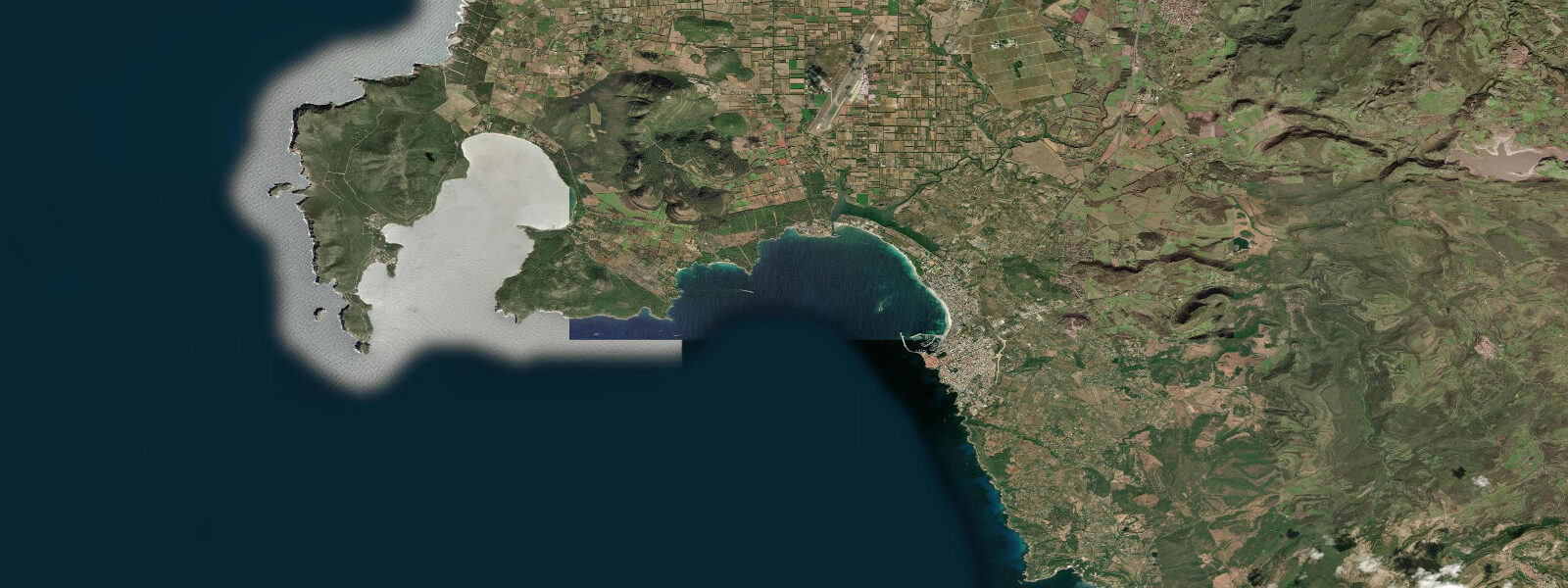
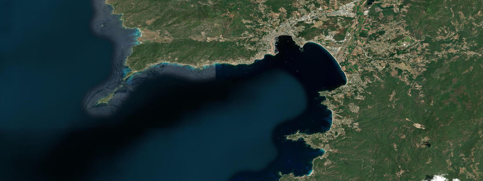
Alghero is the town on Sardinia that still speaks Catalan. Conquered by Aragon in 1354, the old city was resettled with Catalan colonists so thoroughly that the Algherese dialect survived into the twenty-first century, and the street signs are bilingual. The sea the Aragonese defended is one of the most visually striking stretches of coast in the western Mediterranean: the Capo Caccia headland, 15 kilometres northwest, drops 165 metres straight into water that runs vivid green over limestone, and the Grotta di Nettuno inside it is accessible by a 656-step stairway cut into the cliff or by the regular tourist boat from the old port.
Tidal range at Alghero is Mediterranean-typical — 0.2 to 0.3 metres at springs. Wind drives the real water-level variability. The prevailing mistral (maestrale in local usage) comes from the northwest and can build substantial swell on the exposed western coast; Alghero itself sits in a bay that provides some shelter, but the open beaches north and south catch northwest fetch. The Spiaggia di Maria Pia, a long arc of pine-backed sand 3 kilometres from the old city, works best on calm mornings. The Riviera del Corallo — the coral coast named for the red coral once harvested commercially here — runs south toward the Bosa promontory.
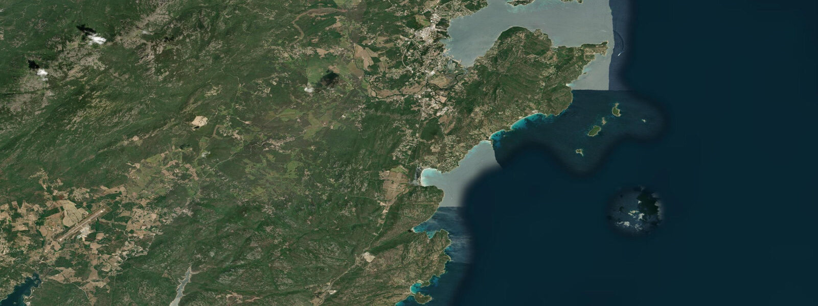
Diving is the headline water activity. The marine environment around Capo Caccia and the Isola Foradada supports posidonia meadows, red coral colonies, grouper, moray, and occasional sunfish in open water. Visibility routinely exceeds 20 metres. Several dive centres operate from the port district, running trips to the Grotta Verde and the open water passages beneath the cape. The rocky shallows inside Alghero Bay suit snorkellers.
Kayaking the Capo Caccia sea caves is possible in calm conditions — a full circumnavigation runs about 22 kilometres from the old port and back. The route passes the stacked rock arch of the Punta Giglio nature reserve, which has been closed to development for decades and shows what this coast looked like before tourism arrived. Timing a cave entry for morning slack conditions is straightforward given the small tidal range.
The old city functions as an evening social space in a way that Atlantic walled towns rarely manage. The bastioni — the seventeenth-century Spanish fortifications that replaced earlier Aragonese walls — have been converted into a walkway facing the gulf, and at sunset the light on the water from the Bastione della Maddalena qualifies as genuinely spectacular without requiring any poetic licence. Seafood menus run to aragosta (spiny lobster), seppie (cuttlefish), and bottarga (cured grey mullet roe) grated over pasta.
Predictions on this page come from Open-Meteo Marine, a gridded global ocean model. Accuracy is typically within plus or minus 45 minutes on timing and 0.2 to 0.3 metres on height — model-derived, not from a local gauge. For authoritative Italian tide data, consult ISPRA (Istituto Superiore per la Protezione e la Ricerca Ambientale).
Tide questions about Alghero
Quick answers to the most common questions about tide times, range, and water access at Alghero.
What is the tidal range at Alghero?
Like all of Sardinia, Alghero is micro-tidal. Spring range is 0.2 to 0.3 metres. Tides are essentially negligible for planning beach or dive activities; what matters is wind state. Maestrale (northwest wind) brings swell to the exposed western beaches; calm mornings offer flat water before the thermal breeze develops.
How do I get to the Neptune Grotto (Grotta di Nettuno)?
Two options: the tourist boat from Alghero's old port runs seasonally (roughly April through October, weather permitting), taking about 40 minutes one-way and giving a sea-level approach to the cave entrance. The alternative is to drive to Capo Caccia and walk the Escala del Cabirol — 656 steps carved into the cliff face. The boat is more dramatic; the stairway is free and provides better views of the cape's vertical walls.
Is diving good around Capo Caccia?
Yes — it is among the best diving in Sardinia. The limestone headland creates vertical walls, sea caves, and overhangs at 10–40 metres. Red coral grows on the deeper sections; posidonia meadows carpet the shallower approaches. Visibility typically exceeds 20 metres in calm conditions. Local dive centres run guided trips; the cave systems require guide accompaniment and are not suitable for open-water beginners.
When is the best weather for kayaking around Capo Caccia?
May through June and September offer the most reliable calm-water windows. July and August have frequent maestrale that can make open-water crossings dangerous even for experienced paddlers. Check the 48-hour forecast before committing to the full circumnavigation (approximately 22 km round trip from the old port). Early morning departures generally find calmer conditions before the thermal breeze builds after 10:00.
Does Alghero really have Catalan speakers?
Yes. Algherese Catalan, a distinct dialect, has been spoken continuously since the fourteenth century Aragonese resettlement. The old city's street signs are bilingual (Italian and Catalan), and a small community of native speakers remains, supported by cultural and language-preservation programmes. It is the only place outside Spain and Andorra where Catalan is officially recognised as a co-official language.
5-day tide table — Alghero
Heights relative to MSL. Predictions: Open-Meteo Marine (MeteoFrance SMOC, 0.08° grid) — heights relative to MSL (not chart datum / LAT). Model-derived.
| Day | Type | Time | Height |
|---|---|---|---|
| Fri 19 Jun | High | 02:00 | -0.4m |
| Low | 07:10 | -0.6m | |
| High | 12:00 | -0.6m | |
| Low | 18:00 | -0.7m | |
| Sat 20 Jun | High | 01:10 | -0.4m |
| Low | 19:00 | -0.7m | |
| Sun 21 Jun | High | 02:00 | -0.5m |
| Low | 20:00 | -0.7m | |
| Mon 22 Jun | High | 03:00 | -0.5m |
| Tue 23 Jun | Low | 10:50 | -0.6m |