Taveuni tide times
Taveuni tide forecast — heights relative to MSL.
Tide chart for Taveuni
24-hour cosine-interpolated curve around the present moment. Heights relative to MSL. Predictions: Predictions: Open-Meteo Marine (MeteoFrance SMOC, 0.08° grid).
Sun, moon and conditions on Mon 06 Jul
Snapshot at build time — refreshes daily. Sea state from Open-Meteo Marine.
Highs and lows next 7 days
Every predicted high and low for the next week, with the daily tidal coefficient (0–120; higher = bigger swing, > 95 means stronger currents).
Other spots nearby
The three closest curated TideTurtle locations to Taveuni, measured by great-circle distance.
Today's solunar windows
Solunar tradition: major periods are the ≈3h windows around moon transit and opposition; minor are ≈2h around moonrise and moonset. Pair with the local tide stage and wind for the best read.
About tides at Taveuni
A short guide to the coastline at Taveuni — geography, sea state, and what the tide is actually doing under your feet.
Taveuni is Fiji's third-largest island, approximately 40 kilometres long and 15 kilometres wide, lying northeast of Vanua Levu across the Somosomo Strait. The island straddles the 180th meridian — an International Date Line marker at 16 degrees 32 minutes south on the road through Waiyevo village is a modest concrete post marking where the line crosses Taveuni, though the Date Line for administrative purposes was adjusted in 1995 to keep all of Fiji on the same calendar day. The island is volcanic, with Lake Tagimaucia at 800 metres altitude supporting the Tagimaucia flower (Medinilla waterhousei), a red-and-white epiphyte found nowhere else on earth.
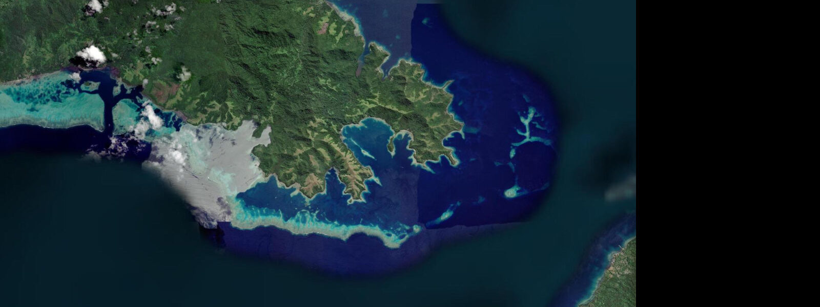
The Somosomo Strait separates Taveuni from Vanua Levu to the west. The strait is approximately 5 to 7 kilometres wide and carries a strong tidal stream — spring current reaches 3 to 4 knots at peak flow. This current is the engine of the Rainbow Reef, which runs along the Taveuni side of the strait for approximately 32 kilometres. The continuous renewal of nutrient-rich, oxygenated water by the tidal exchange drives growth rates in the reef's soft coral community that exceed what still, sheltered reefs can sustain. The result is walls and overhangs covered in dense, vivid soft coral — Dendronephthya, Melithaea, Acabaria — in concentrations that make the Rainbow Reef one of the most visually dense coral environments in the world.
The Great White Wall is the most famous dive site on the Rainbow Reef. The dive begins on a sloping hard-coral reef top at 18 metres, then a passage through the reef leads to the outer wall at approximately 28 metres, where the wall drops vertically, covered in white Dendronephthya (white soft coral, a species that favours cooler, current-swept water). The wall descends beyond recreational diving limits. The Purple Wall, a few kilometres along the reef, has a similar architecture but with a community dominated by purple and lavender Melithaea and encrusting Acabaria. Both sites are drift dives — the diver enters the current and allows it to carry them along the wall rather than finning against it. Dive operators plan entries and exits to the current; descend with them, not independently.
Access to Taveuni is by domestic flight from Nadi (1 hour) or Suva (45 minutes) to Matei Airport on the northern tip of the island. Passenger ferry service connects Buca Bay on Vanua Levu to Taveuni, with the crossing time depending on sea conditions (1.5 to 3 hours). The ferry route crosses the Somosomo Strait — conditions can be rough in strong southeast trade wind (April to October).
The island interior has the Lavena Coastal Walk, a half-day trail through coastal forest and village to a waterfall accessible by swimming through a narrow canyon. The trail is community-managed; entry fees support the Lavena village. Bird life on Taveuni includes the orange dove (Ptilinopus victor), found only on Taveuni and a few small islands nearby, and the silktail (Lamprolia victoriae), also endemic to Taveuni.
Predictions on this page come from Open-Meteo Marine, a gridded global ocean model. Accuracy is typically within plus or minus 45 minutes on timing and 0.2 to 0.3 metres on height — model-derived, not from a local gauge. The local tide authority is the Fiji Meteorological Service, which publishes tidal predictions for Fiji reference stations.
Tide questions about Taveuni
Quick answers to the most common questions about tide times, range, and water access at Taveuni.
What is the Rainbow Reef and why is it so colourful?
The Rainbow Reef is a 32-kilometre reef system on the Taveuni side of the Somosomo Strait. Its extraordinary soft coral density is a direct result of the strait's tidal current — 3 to 4 knots at spring peak — which continuously renews nutrient-rich, oxygenated Indian Ocean water along the reef walls. This sustained current supports soft coral growth rates and species diversity that calmer, shallower reefs cannot match. The dominant species — white Dendronephthya on the Great White Wall, purple and lavender Melithaea and Acabaria on the Purple Wall — are fully open and feeding in current conditions that would stress hard corals.
How strong is the tidal current in the Somosomo Strait?
The tidal current through the Somosomo Strait reaches 3 to 4 knots at peak spring flow — strong enough to make unaided swimming against it impossible and to push a small boat sideways at speed. Dive operators plan all reef entries around the current, timing the start of the dive to the direction and phase of the tidal stream. The Great White Wall and Purple Wall are drift dives; the diver descends with the current and exits at a pre-arranged pickup point. Do not attempt independent access to the reef without a guide familiar with the day's tidal current schedule.
What birds are endemic to Taveuni?
Two bird species are endemic to Taveuni: the orange dove (Ptilinopus victor), a strikingly coloured male dove with deep orange plumage found on Taveuni and a few surrounding small islands; and the silktail (Lamprolia victoriae), a small, black, iridescent flycatcher with a white rump found in the island's damp forest interior. Both species are most reliably found in the forest above 300 metres on the Des Voeux Peak and Bouma National Heritage Park trails. The Bouma Heritage Park also holds the collared lory, kula (red shining parrot), and velvet dove. Early morning (06:00 to 09:00) is the best birding window.
How do I get to Taveuni?
By domestic flight from Nadi International Airport (approximately 1 hour) or Suva (approximately 45 minutes) to Matei Airport on Taveuni's northern tip. Fiji Airways and Northern Air operate the routes; book in advance for peak season (June to September). Alternatively, by passenger and vehicle ferry from Buca Bay on Vanua Levu to Taveuni — the crossing takes 1.5 to 3 hours depending on conditions and vessel; the Somosomo Strait can be rough in southeast trade winds. The ferry is significantly less expensive than flying. From Matei Airport, the main dive resorts are a 30 to 45 minute drive south.
What is the tidal range at Taveuni?
Spring tidal range at Taveuni is approximately 1.2 metres, with a pronounced diurnal inequality typical of northern Fiji. The tidal range itself is modest, but the Somosomo Strait's confined geometry amplifies the tidal current dramatically — even a 1.2-metre range produces 3 to 4 knots of current through the narrow strait. This current is the ecological driver of the Rainbow Reef. Predictions here come from Open-Meteo Marine (±45 minutes on timing, ±0.3 m on height). Not for navigation; consult the Fiji Meteorological Service for local reference station predictions.
0-day tide table — Taveuni
Heights relative to MSL. Predictions: Open-Meteo Marine (MeteoFrance SMOC, 0.08° grid) — heights relative to MSL (not chart datum / LAT). Model-derived.
| Day | Type | Time | Height |
|---|