Taveuni, Fiji tide times
Taveuni, Fiji tide forecast — heights relative to MSL.
Tide chart for Taveuni, Fiji
24-hour cosine-interpolated curve around the present moment. Heights relative to MSL. Predictions: Predictions: Open-Meteo Marine (MeteoFrance SMOC, 0.08° grid).
Sun, moon and conditions on Mon 06 Jul
Snapshot at build time — refreshes daily. Sea state from Open-Meteo Marine.
Highs and lows next 7 days
Every predicted high and low for the next week, with the daily tidal coefficient (0–120; higher = bigger swing, > 95 means stronger currents).
Other spots nearby
The three closest curated TideTurtle locations to Taveuni, Fiji, measured by great-circle distance.
Today's solunar windows
Solunar tradition: major periods are the ≈3h windows around moon transit and opposition; minor are ≈2h around moonrise and moonset. Pair with the local tide stage and wind for the best read.
Cycle dates near Taveuni, Fiji
Next spring tide on Fri 10 Jul (range 1.3m). Last neap on Sat 04 Jul.
Spring tides cluster around new and full moons (biggest swings). Neap tides land on quarter moons (smallest swings). See the spring tide and neap tide glossary entries for the why.
About tides at Taveuni, Fiji
A short guide to the coastline at Taveuni, Fiji — geography, sea state, and what the tide is actually doing under your feet.
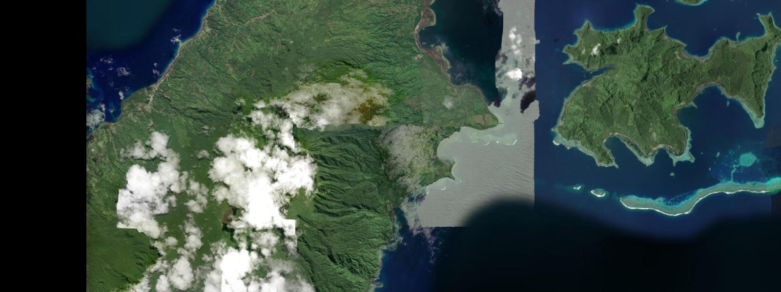
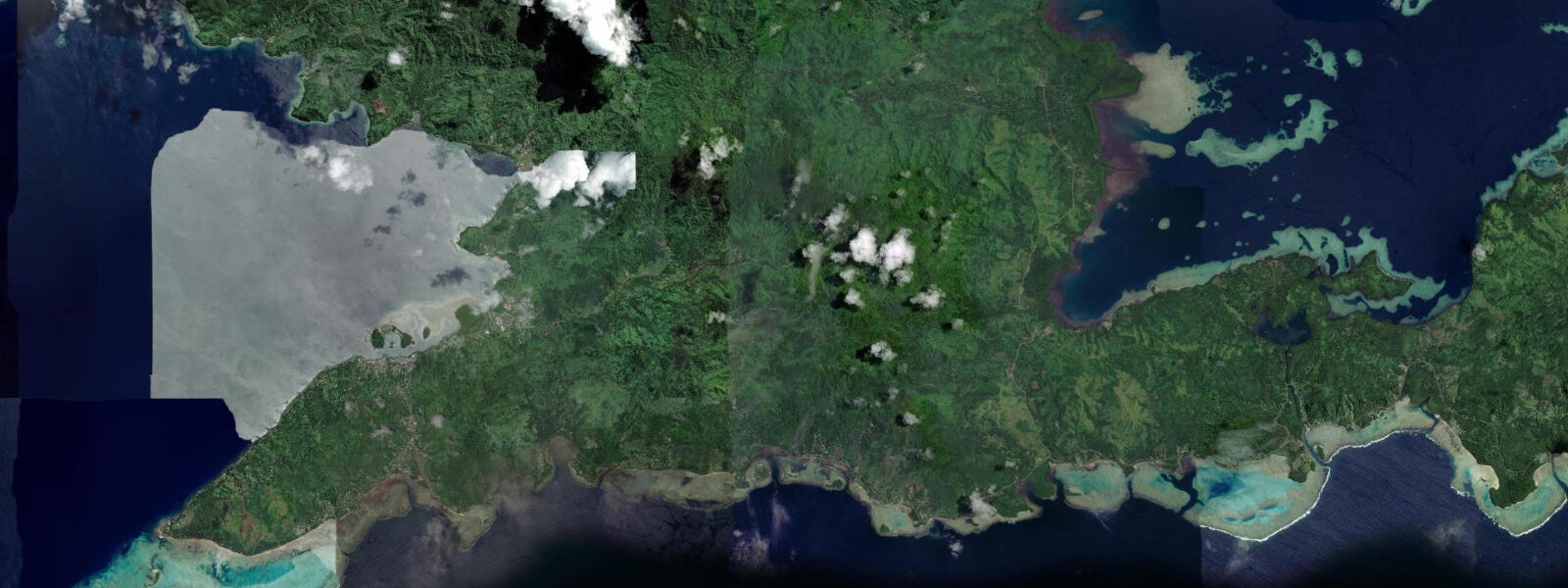
Taveuni is Fiji's third-largest island, 42 km long and dominated by a central volcanic ridge that rises to 1,241 m. The ridge intercepts the southeast trade wind and generates enough orographic rainfall to maintain the closed-canopy rainforest covering 80% of the island's interior — the reason Taveuni is called the Garden Isle. The Bouma National Heritage Park protects the eastern watershed, and the Tavoro waterfalls (three tiers connected by a 3 km trail from the coast road), the Lavena Coastal Walk, and the forest birding for endemics including the orange dove draw the non-diving visitors who come specifically for the landscape.
The international date line — the 180° meridian — runs through the island, marked by a sign on the coastal road at the town of Waiyevo. Fiji has placed all its islands on the UTC+12 side for administrative convenience, but the sign is photographed by virtually every visitor and the date-line novelty remains intact. The highest point on the island, Uluigalau, is one of the highest peaks in Fiji.
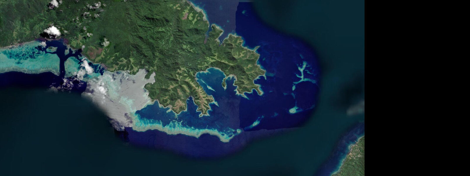
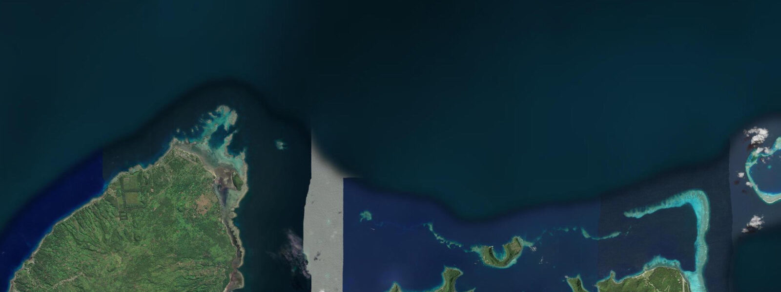
The diving on Taveuni is the global draw. Rainbow Reef in the Somosomo Strait — the 8 to 10 km wide channel between Taveuni and southern Vanua Levu — is a 32 km continuous reef wall described by dive operators and underwater photographers as one of the five best wall dives in the Pacific. The defining section is the White Wall: a canyon slope from 20 to 40 m depth where white soft coral (Dendronephthya) covers the wall so densely that it appears to be solid white from across the canyon. The coral feeds in the tidal current; the wall is best on the ebb when the flow runs up along the face and the soft coral polyps extend fully. Dive operators plan the White Wall entry specifically to the running ebb phase.
The Somosomo Strait produces tidal current of 0.5 to 2.0 knots depending on lunar phase, and the current timing is the primary planning variable for all dive sites on the Taveuni side of the strait. The cross-strait boat ride from the Taveuni coast to the Rainbow Reef sites takes 15 to 30 minutes depending on the operator's departure point; timing is scheduled around the reef, not fixed daily. The Pacific semidiurnal tidal regime here produces a spring range of 0.8 to 1.2 m. The reef fish diversity — soft coral polyp-feeders, the full community of anthias, surgeonfish, butterflyfish — is consistently dense along the Rainbow Reef wall; visibility on the ebb current runs 15 to 30 m year-round. Predictions on this page come from Open-Meteo Marine (gridded model, ±45 min / ±0.2–0.3 m). The Lavena Coastal Walk on Taveuni's east coast runs 6 km along the Fijian foreshore through coconut palm groves and former copra plantation land to a double waterfall at the trail's end. The return requires a 10-minute boat ride back along the coast; arrange the return transport before starting the walk. The trail is accessible in any weather and is used by the Lavena village community for daily movement; walkers are expected to pay the village admission fee at the trailhead. The Somosomo Strait between Taveuni and Vanua Levu has earned its reputation as one of the world's top soft coral dive sites specifically because of the tidal current that sweeps through it — the reef at Rainbow Reef grows so densely because nutrients are constantly refreshed. Dive operators on Taveuni time their trips to the ebb current through the strait because the fish life aggregates at current points during this phase. Slack water is brief, typically 15 to 20 minutes at springs, and experienced operators plan the dive so the brief slack coincides with the deepest part of the profile. Snorkelling the strait's shallower sections is recommended only at neap tides when current is manageable. Taveuni's east coast, exposed to the Pacific, has unprotected beaches that see ocean swell through all seasons; wave height, not tidal state, governs swimming safety on the windward coast. Waterfalls on the island's interior, including Bouma Falls, are boosted by rainfall and are not tide-dependent, but the Bouma National Heritage Park entrance trail crosses a coastal section whose timing should be planned around the morning flood.
Tide questions about Taveuni, Fiji
Quick answers to the most common questions about tide times, range, and water access at Taveuni, Fiji.
When is the next high tide at Taveuni?
The hero block shows the next predicted high at Taveuni in Fiji Time (FJT, UTC+12). Pacific semidiurnal, spring range 0.8 to 1.2 m. The Somosomo Strait ebb current for Rainbow Reef diving begins building approximately 2 to 3 hours after the predicted high; the current maximum arrives roughly 4 to 5 hours after high water. Dive operators use the tidal prediction to schedule departures; ask the dive centre for the day's planned entry window. Predictions from Open-Meteo Marine (gridded model, ±45 min / ±0.2–0.3 m).
What is the tidal range at Taveuni?
Spring range runs 0.8 to 1.2 m; neap range about 0.4 to 0.6 m. The Somosomo Strait between Taveuni and Vanua Levu amplifies the tidal current — even a 0.8 m tidal height difference across the strait generates 0.5 to 2.0 knot flow along Rainbow Reef's wall. The White Wall soft coral feeds when that current runs and looks its best in the ebb phase, regardless of the absolute height of the tide. The White Wall's soft coral (Dendronephthya) feeds when the ebb current runs along the wall face; on neap tides the current drops and the polyps retract, reducing the visual impact.
Where do these predictions come from?
Open-Meteo Marine, a free gridded global ocean model, accuracy ±45 min / ±0.2–0.3 m. Fiji Meteorological Service publishes authoritative tidal data; the Taveuni prediction has a small offset from the Suva reference station. The Taveuni dive operators maintain an empirical current timing record for the Somosomo Strait that provides the practical Rainbow Reef entry schedule — the model is the baseline, but the operators' daily schedule is the authoritative guide. The Taveuni dive operators' empirical timing record for the Somosomo Strait is based on years of observation; the model prediction is the starting point, but the operators' published daily schedule is the authority.
When is the best season for diving at Rainbow Reef?
Rainbow Reef is dived year-round. The dry season from May through October brings the most consistent water clarity — visibility of 20 to 30 m — and calm conditions for the 15 to 30 minute boat crossing to the reef. The wet season from November through April sees reduced visibility (10 to 20 m), occasional rain, and the small possibility of tropical cyclone closure on the worst days. Soft coral colour and fish life on the wall are consistent across the seasons; the visibility swing is the main seasonal variable for photographers.
Is this safe to use for navigation?
No. TideTurtle is a planning tool. The Somosomo Strait between Taveuni and Vanua Levu has tidal current reaching 3 knots at springs, reef hazards on both sides of the channel, and active commercial ferry and cargo traffic. The Vuna Reef sections require local pilot knowledge. Use Fiji Maritime Safety Authority chart products for vessel operations in the strait. Fiji Maritime Safety Authority chart products cover the Somosomo Strait and the Taveuni approaches; the strait current reaches 3 knots at springs and requires proper chart navigation for vessel operations.
7-day tide table — Taveuni, Fiji
Heights relative to MSL. Predictions: Open-Meteo Marine (MeteoFrance SMOC, 0.08° grid) — heights relative to MSL (not chart datum / LAT). Model-derived.
| Day | Type | Time | Height |
|---|---|---|---|
| Mon 06 Jul | Low | 03:08 | 0.3m |
| High | 09:13 | 1.1m | |
| Low | 15:40 | 0.2m | |
| High | 22:02 | 1.1m | |
| Tue 07 Jul | Low | 04:00 | 0.3m |
| High | 10:06 | 1.1m | |
| Low | 16:20 | 0.2m | |
| High | 22:48 | 1.2m | |
| Wed 08 Jul | Low | 04:54 | 0.3m |
| High | 11:00 | 1.1m | |
| Low | 17:08 | 0.2m | |
| High | 23:35 | 1.2m | |
| Thu 09 Jul | Low | 05:51 | 0.3m |
| High | 11:57 | 1.1m | |
| Low | 18:02 | 0.3m | |
| Fri 10 Jul | High | 00:25 | 1.3m |
| Low | 06:50 | 0.2m | |
| High | 12:55 | 1.1m | |
| Low | 18:55 | 0.3m | |
| Sat 11 Jul | High | 01:20 | 1.3m |
| Low | 07:50 | 0.1m | |
| High | 13:57 | 1.1m | |
| Low | 19:50 | 0.2m | |
| Sun 12 Jul | High | 02:17 | 1.3m |
| Low | 08:47 | 0.0m | |
| High | 11:00 | 0.4m |