Savusavu tide times
Savusavu tide forecast — heights relative to MSL.
Tide chart for Savusavu
24-hour cosine-interpolated curve around the present moment. Heights relative to MSL. Predictions: Predictions: Open-Meteo Marine (MeteoFrance SMOC, 0.08° grid).
Sun, moon and conditions on Mon 06 Jul
Snapshot at build time — refreshes daily. Sea state from Open-Meteo Marine.
Highs and lows next 7 days
Every predicted high and low for the next week, with the daily tidal coefficient (0–120; higher = bigger swing, > 95 means stronger currents).
Other spots nearby
The three closest curated TideTurtle locations to Savusavu, measured by great-circle distance.
Today's solunar windows
Solunar tradition: major periods are the ≈3h windows around moon transit and opposition; minor are ≈2h around moonrise and moonset. Pair with the local tide stage and wind for the best read.
Cycle dates near Savusavu
Next spring tide on Fri 10 Jul (range 1.3m). Last neap on Sat 04 Jul.
Spring tides cluster around new and full moons (biggest swings). Neap tides land on quarter moons (smallest swings). See the spring tide and neap tide glossary entries for the why.
About tides at Savusavu
A short guide to the coastline at Savusavu — geography, sea state, and what the tide is actually doing under your feet.
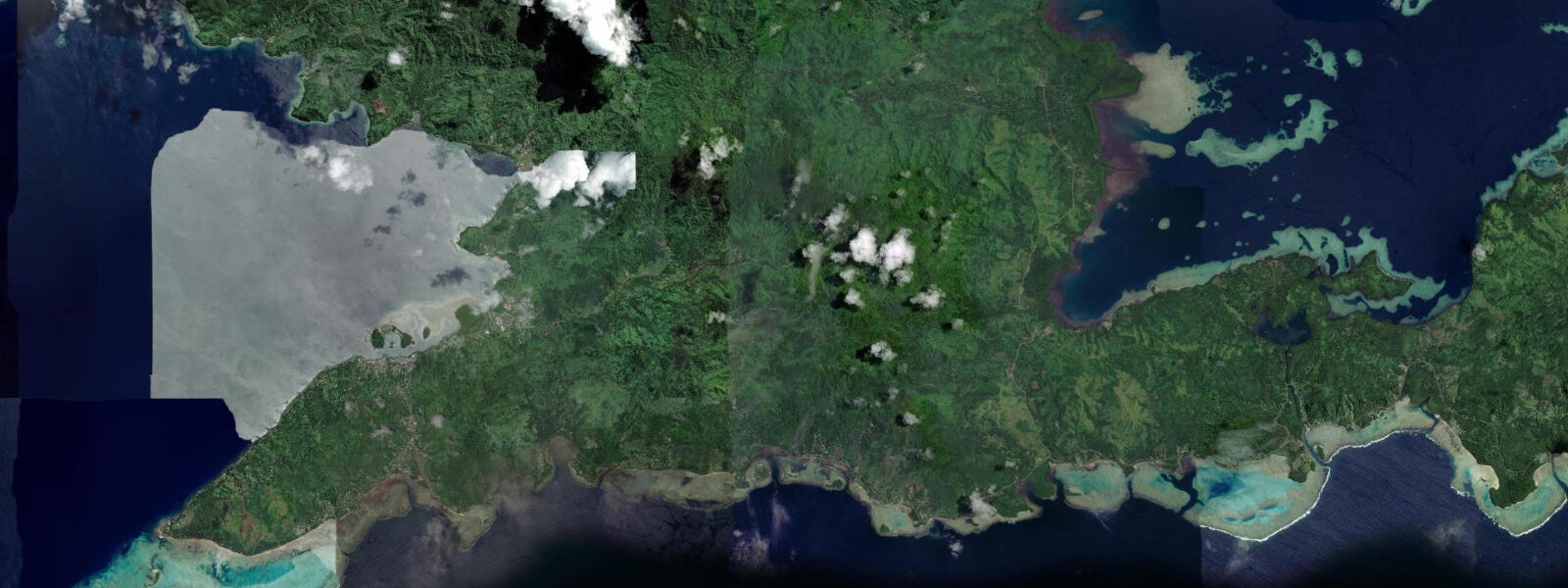
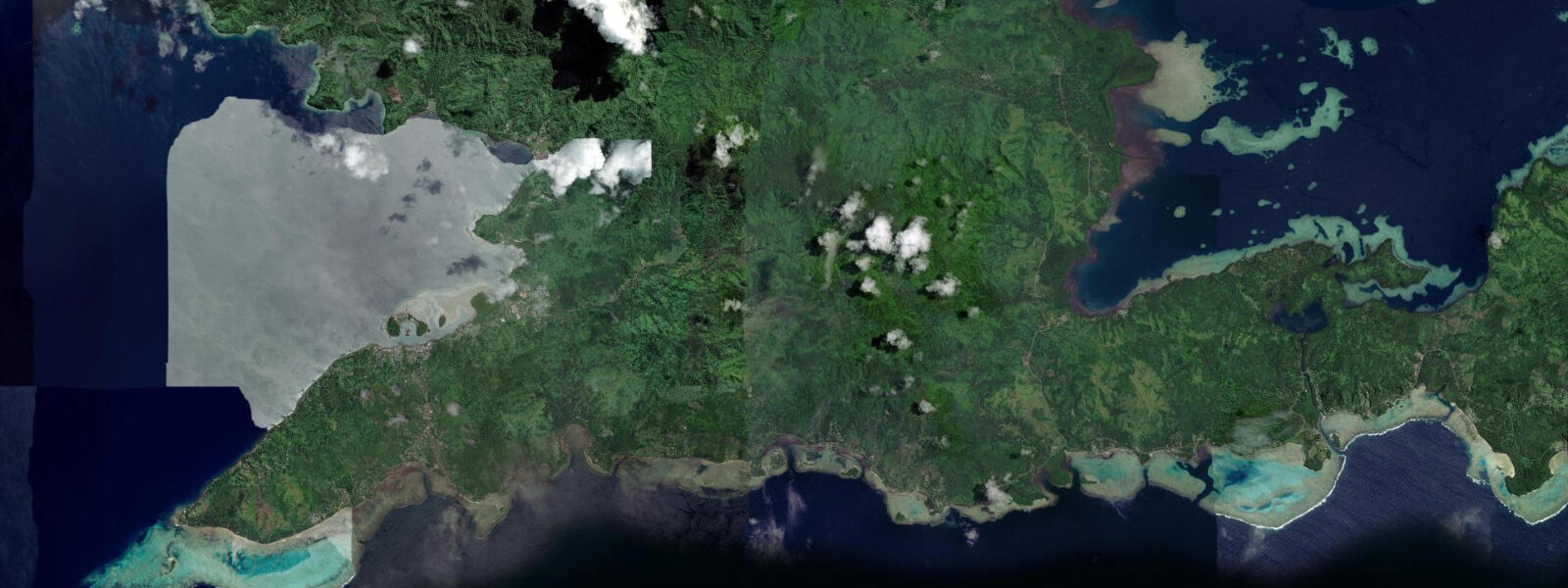
Savusavu sits at the head of a deep, sheltered bay on the south coast of Vanua Levu, Fiji's second-largest island. The bay is approximately 8 kilometres long and 3 kilometres wide, oriented roughly east-west, with the town on the northern shore and a backdrop of forested hills rising to 300 metres. The configuration creates one of the better natural harbours in northern Fiji — protected from the southeast trade wind swell by the island mass, with enough depth (10 to 15 metres through the main channel) to accommodate cruising yachts drawing up to 3 metres. The international cruising community has used Savusavu as a waypoint on the South Pacific circuit — the route between New Zealand, Tonga, and Vanuatu — for decades, and the waterfront caters accordingly: a marina, chandlery, fuel dock, provisioning shops, and a customs and immigration office.
The tidal regime at Savusavu is mixed semidiurnal, with a spring range of approximately 1.0 to 1.4 metres. Fiji's tidal regime has a pronounced diurnal inequality — the two daily high waters and two daily low waters differ substantially in height — and this inequality is most pronounced in the northern islands, which are further from the equatorial node than the main island of Viti Levu. On some days in the cycle, one of the two daily highs is so much smaller than the other that the tidal pattern effectively becomes diurnal — one dominant high and one dominant low per day. For the shellfish and reef-flat harvesters in the villages along the bay shore, identifying the day's lowest low water is the relevant prediction, and this requires the full tidal table rather than a simplified high/low summary.
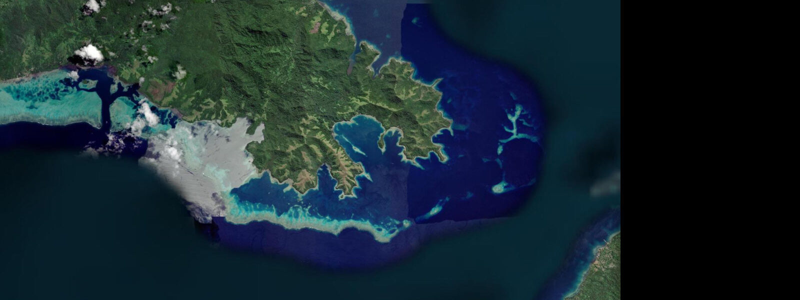
The hot springs in and around Savusavu harbour are the town's most discussed curiosity. Bubbling spots visible near the shoreline and in the harbour shallows indicate hydrothermal activity beneath the bay floor — warm to hot water (50 to 90 degrees Celsius at the vent) emerging from fractures in the volcanic rock. Locals have historically used the hottest vents to cook food directly — wrapping taro or green bananas in banana leaf and submerging the bundle in the vent. The springs do not significantly warm the harbour water overall (the bay volume is too large), but local temperature anomalies of 3 to 5 degrees Celsius above ambient have been measured at individual vent sites.
The bay's inner flats, exposed at low water springs, are a traditional fishing ground for the Savusavu community. Clams, sea cucumbers, and reef fish are harvested on the tidal flat under customary fishing rights (qoliqoli) managed by the local landowning clan. Visitors should be aware that reef fishing without the express permission of the qoliqoli holder is illegal under Fijian law. The Friday market in Savusavu town has fresh produce and seafood from the local community.
For kayakers and small-boat operators, the bay offers protected flat-water paddling at all tide states. The mangroveed creek mouths on the southern shore are accessible by kayak on the rising tide — the creeks become too shallow to navigate on the ebb. The bay exit to the southeast leads into the broader Koro Sea and is suitable for experienced sea kayakers.
Diving in the offshore waters around Vanua Levu, including the Namena Marine Reserve 25 kilometres south, requires a day boat from Savusavu. The Namena barrier reef has wall diving, current-driven soft coral, and aggregations of reef shark that have been documented in scientific surveys. The boat journey (45 minutes to 1 hour) passes through the Koro Sea, which can be rough in strong trade wind conditions.
Predictions on this page come from Open-Meteo Marine, a gridded global ocean model. Accuracy is typically within plus or minus 45 minutes on timing and 0.2 to 0.3 metres on height — model-derived, not from a local gauge. The local tide authority is the Fiji Meteorological Service, which publishes tidal predictions for Fiji reference stations.
Tide questions about Savusavu
Quick answers to the most common questions about tide times, range, and water access at Savusavu.
What are the hot springs at Savusavu?
The hot springs are hydrothermal vents — fractures in the volcanic rock beneath the harbour bay floor where groundwater heated by subsurface magmatic activity emerges at the surface. Temperatures at individual vents range from 50 to 90 degrees Celsius. The springs are visible as bubbling spots in the harbour shallows and near the shoreline. Locals have traditionally used the hottest vents to cook food — taro and green bananas wrapped in banana leaf, submerged in the vent water. The springs do not significantly warm the overall harbour temperature but create local temperature anomalies measurable in the immediate vicinity of each vent.
What is the tidal range at Savusavu?
Spring tidal range at Savusavu is approximately 1.0 to 1.4 metres. Fiji's tidal regime has a pronounced diurnal inequality, most marked in the northern islands. On some days, the two daily highs are so unequal that the tidal pattern is effectively diurnal — one dominant high and one dominant low per day. For inter-tidal activities (fishing, reef walking), the relevant prediction is the day's lowest low water rather than an average. Predictions here come from Open-Meteo Marine (±45 minutes on timing, ±0.3 m on height). Not for navigation; consult the Fiji Meteorological Service for reference station predictions.
Is Savusavu a good base for yachts on the South Pacific circuit?
Yes. Savusavu has a marina, fuel dock, chandlery, customs and immigration office, and provisioning options that make it one of the better-equipped yacht bases in northern Fiji. The bay is sheltered from southeast trade wind swell by the Vanua Levu island mass. The approach from the Koro Sea is straightforward in daylight with current charts. Depth in the main harbour channel is 10 to 15 metres. The marina accommodates vessels up to approximately 20 metres; larger yachts anchor in the bay. Check current marina availability and fuel pricing directly with the Copra Shed Marina in Savusavu before arrival.
What dive sites are accessible from Savusavu?
The Namena Marine Reserve, 25 kilometres south of Savusavu by day boat (45 to 60 minutes), is the premier dive site. The Namena barrier reef has wall diving to 40+ metres, current-driven soft coral gardens, and documented reef shark aggregations. The reserve is a Marine Protected Area; entry requires a Namena Conservation Area fee paid to the Kubulau District Council. Dive operators in Savusavu run day trips to Namena and to closer reef sites within the bay. Sea conditions in the Koro Sea can be rough in strong southeast trade conditions — trips may be cancelled in winds above 25 knots.
What are qoliqoli rights and how do they affect fishing at Savusavu?
Qoliqoli (pronounced ngoli-ngoli) are customary fishing rights held by Fijian landowning clans (mataqali) over defined areas of reef and inshore water. The qoliqoli system is legally recognised under Fijian law. Fishing, collecting, or harvesting reef resources within a qoliqoli area without the express permission of the rights holder is illegal. Visitors wishing to fish or snorkel-collect in the reefs around Savusavu should ask their accommodation or a local guide about the relevant qoliqoli holder and obtain permission before entering the water for any harvest purpose. The Friday market in Savusavu town is where locally harvested seafood is sold, often directly by the qoliqoli holders.
7-day tide table — Savusavu
Heights relative to MSL. Predictions: Open-Meteo Marine (MeteoFrance SMOC, 0.08° grid) — heights relative to MSL (not chart datum / LAT). Model-derived.
| Day | Type | Time | Height |
|---|---|---|---|
| Mon 06 Jul | Low | 03:08 | 0.3m |
| High | 09:19 | 1.1m | |
| Low | 15:35 | 0.2m | |
| High | 22:02 | 1.1m | |
| Tue 07 Jul | Low | 04:00 | 0.3m |
| High | 10:05 | 1.1m | |
| Low | 16:20 | 0.2m | |
| High | 22:50 | 1.2m | |
| Wed 08 Jul | Low | 04:51 | 0.3m |
| High | 11:02 | 1.1m | |
| Low | 17:10 | 0.2m | |
| High | 23:35 | 1.2m | |
| Thu 09 Jul | Low | 05:51 | 0.3m |
| High | 11:57 | 1.1m | |
| Fri 10 Jul | Low | 06:51 | 0.3m |
| High | 12:55 | 1.1m | |
| Low | 18:55 | 0.2m | |
| Sat 11 Jul | High | 01:20 | 1.3m |
| Low | 07:51 | 0.1m | |
| High | 13:57 | 1.1m | |
| Low | 19:53 | 0.2m | |
| Sun 12 Jul | High | 02:14 | 1.4m |
| Low | 08:47 | 0.0m | |
| High | 11:00 | 0.3m |