Aalborg tide times
Aalborg tide forecast — heights relative to MSL.
Tide chart for Aalborg
24-hour cosine-interpolated curve around the present moment. Heights relative to MSL. Predictions: Predictions: Open-Meteo Marine (MeteoFrance SMOC, 0.08° grid).
Sun, moon and conditions on Fri 19 Jun
Snapshot at build time — refreshes daily. Sea state from Open-Meteo Marine.
Highs and lows next 7 days
Every predicted high and low for the next week, with the daily tidal coefficient (0–120; higher = bigger swing, > 95 means stronger currents).
Other spots nearby
The three closest curated TideTurtle locations to Aalborg, measured by great-circle distance.
Today's solunar windows
Solunar tradition: major periods are the ≈3h windows around moon transit and opposition; minor are ≈2h around moonrise and moonset. Pair with the local tide stage and wind for the best read.
About tides at Aalborg
A short guide to the coastline at Aalborg — geography, sea state, and what the tide is actually doing under your feet.
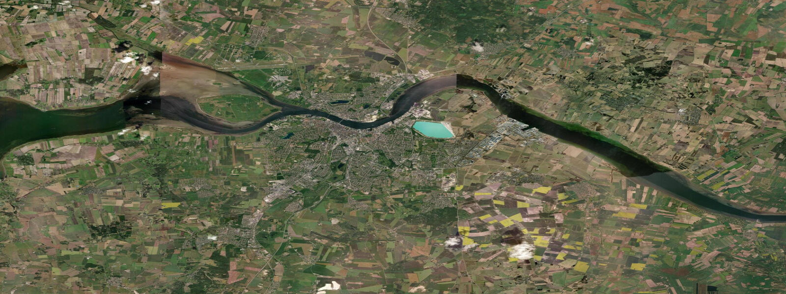
Aalborg sits at the southern shore of the Limfjord, the shallow fjord system that cuts across the entire width of Jutland from the Kattegat in the east to the North Sea at Thyborøn in the west. The Limfjord is essentially non-tidal by most definitions: the only ocean connection is the narrow Thyborøn channel at the western end, which is shallow enough to severely attenuate the tidal wave. Inside the fjord, the mean water-level variation from astronomical tide is less than 0.1 metres. What moves the water in the Limfjord is wind and atmospheric pressure — a sustained westerly drives water east, raising levels at Aalborg by 30 to 50 cm above normal; an easterly drains the fjord west, lowering Aalborg levels correspondingly.
The historic eastern connection to the Kattegat via the Løgstør Grunde channel was sealed by sand migration around the 11th century, cutting off the Viking Age eastern access that had allowed Norse longships to transit Jutland without rounding the Skagen tip. The Limfjord thus became a one-ended system, which explains the attenuation. The channel was briefly reopened by storm flooding in 1825 and again in the 1870s, but silted closed each time.
Aalborg is Denmark's fourth-largest city and the urban and economic centre of North Jutland. The waterfront has been redeveloped extensively over the past two decades — the Aalborg Waterfront (Aalborg Havnefront) on the south bank runs several kilometres from the Utzon Center (a cultural centre designed by Jørn Utzon, architect of the Sydney Opera House, and one of his last projects before his death in 2008) to the Nordkraft cultural complex. Both sides of the fjord — Aalborg on the south and Nørresundby on the north — are connected by bridge and the Limfjord Tunnel.
Kayaking on the Limfjord from Aalborg is popular precisely because the nearly tidal-less character means no current hazard. Paddlers launch from the waterfront and can reach the outer fjord islands to the west on multiday trips. The wind is the planning variable, not the tide.
The Aalborg Akvavit distillery (O.P. Anderson, founded 1846 and now part of Arcus) produced the aquavit (snaps) that defined Danish spirits culture for 150 years. The distillery site is now partly a museum. Aalborg's harbour still handles bulk cargo, and the city retains a working port character alongside the cultural overlay.
Predictions on this page come from Open-Meteo Marine, a gridded global ocean model. Accuracy is typically within plus or minus 45 minutes on timing and 0.2 to 0.3 metres on height — model-derived, not from a local gauge. For authoritative Danish sea-level data, consult DMI (Danmarks Meteorologiske Institut) at dmi.dk/hav.
Tide questions about Aalborg
Quick answers to the most common questions about tide times, range, and water access at Aalborg.
Is there a tide at Aalborg?
Effectively no. The Limfjord is nearly tideless — the only ocean connection is through the shallow Thyborøn channel at the western end, which attenuates the North Sea tidal wave to less than 0.1 metres by the time it reaches Aalborg. Water levels in the Limfjord are primarily driven by wind and atmospheric pressure, not by the moon. A sustained westerly can raise Aalborg's waterfront by 30 to 50 cm above normal; an easterly can lower it by a similar amount. DMI publishes sea-level forecasts for the Limfjord that are far more useful than tidal predictions.
Why is the Limfjord nearly tideless?
The Limfjord's only ocean connection is the narrow, shallow Thyborøn channel at the western end (North Sea side). The channel's dimensions are too restricted to transmit the North Sea's 1 to 1.5 metre tidal range into the 1,500 km² fjord basin. The eastern channel through the Kattegat was a more substantial connection before sand migration sealed it in the medieval period — with both ends open, the tidal exchange was more significant. Now the fjord behaves as a closed basin responding to wind and barometric pressure rather than to tidal forcing.
What is the Utzon Center in Aalborg?
The Utzon Center on the Aalborg waterfront is a cultural institution dedicated to art, architecture, and design. It was conceived by Jørn Utzon — the Danish architect who designed the Sydney Opera House — as his final built project; the building was completed in 2008, the year of his death. The center's main hall has views over the Limfjord. It hosts exhibitions on architecture and design and features a permanent display on Utzon's work. The waterfront location exemplifies the city's harbour redevelopment that has transformed 5 kilometres of former industrial quay into public space.
Can I kayak on the Limfjord from Aalborg?
Yes — the Limfjord is one of Denmark's best flatwater kayak environments precisely because the near-tidal-less character removes current risk. Launch from the Aalborg Waterfront or from the marina at Vestre Havnepromenade. Day paddles to the smaller fjord islands (Egholm, Hvalpsund direction) are popular; multi-day trips to the western fjord sections and toward Thyborøn are feasible with camping gear. The key variable is wind — NW winds can build a significant chop on the open fjord. Paddle services (rental and guided tours) operate from the waterfront seasonally.
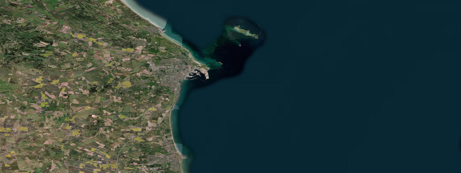
How do I get from Aalborg to the North Jutland coast?
The North Sea coast (Jammerbugten bay, with Blokhus and Løkken surf beaches) is 50 to 60 km west of Aalborg — about an hour by car via Route 11 or the highway through Fjerritslev. Skagen, at the tip of Denmark where Kattegat meets the Skagerrak, is 90 km northeast (about 1 hour by car via the E45 motorway and Route 40). Frederikshavn ferry port is 70 km north. Local buses connect Aalborg with the coastal towns, but driving is the most flexible option for beach and coastal exploration.
0-day tide table — Aalborg
Heights relative to MSL. Predictions: Open-Meteo Marine (MeteoFrance SMOC, 0.08° grid) — heights relative to MSL (not chart datum / LAT). Model-derived.
| Day | Type | Time | Height |
|---|