Skagen tide times
Skagen tide forecast — heights relative to MSL.
Today's tide times for Skagen
Tide times at Skagen on Wednesday, 29 July 2026: first low tide at 02:00am, first high tide at 05:16am, second low tide at 11:04am, second high tide at 05:24pm, third low tide at 11:16pm. Sunrise 05:04am, sunset 09:42pm.
Tide chart for Skagen
24-hour cosine-interpolated curve around the present moment. Heights relative to MSL. Predictions: Predictions: Open-Meteo Marine (MeteoFrance SMOC, 0.08° grid).
Sun, moon and conditions on Wed 29 Jul
Snapshot at build time — refreshes daily. Sea state from Open-Meteo Marine.
Highs and lows next 7 days
Every predicted high and low for the next week, with the daily tidal coefficient (0–120; higher = bigger swing, > 95 means stronger currents).
Other spots nearby
The three closest curated TideTurtle locations to Skagen, measured by great-circle distance.
Today's solunar windows
Solunar tradition: major periods are the ≈3h windows around moon transit and opposition; minor are ≈2h around moonrise and moonset. Pair with the local tide stage and wind for the best read.
Cycle dates near Skagen
Next spring tide on Sat 01 Aug (range 0.4m). Next neap on Sun 02 Aug.
Spring tides cluster around new and full moons (biggest swings). Neap tides land on quarter moons (smallest swings). See the spring tide and neap tide glossary entries for the why.
About tides at Skagen
A short guide to the coastline at Skagen — geography, sea state, and what the tide is actually doing under your feet.
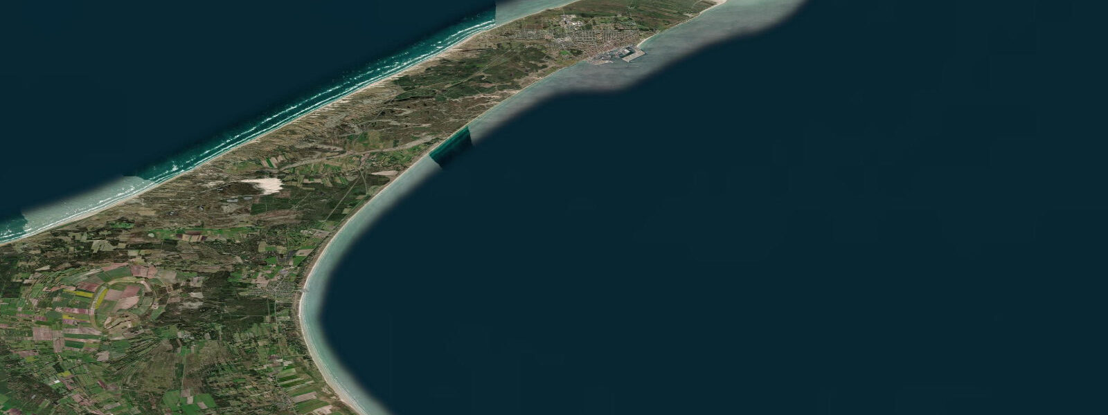
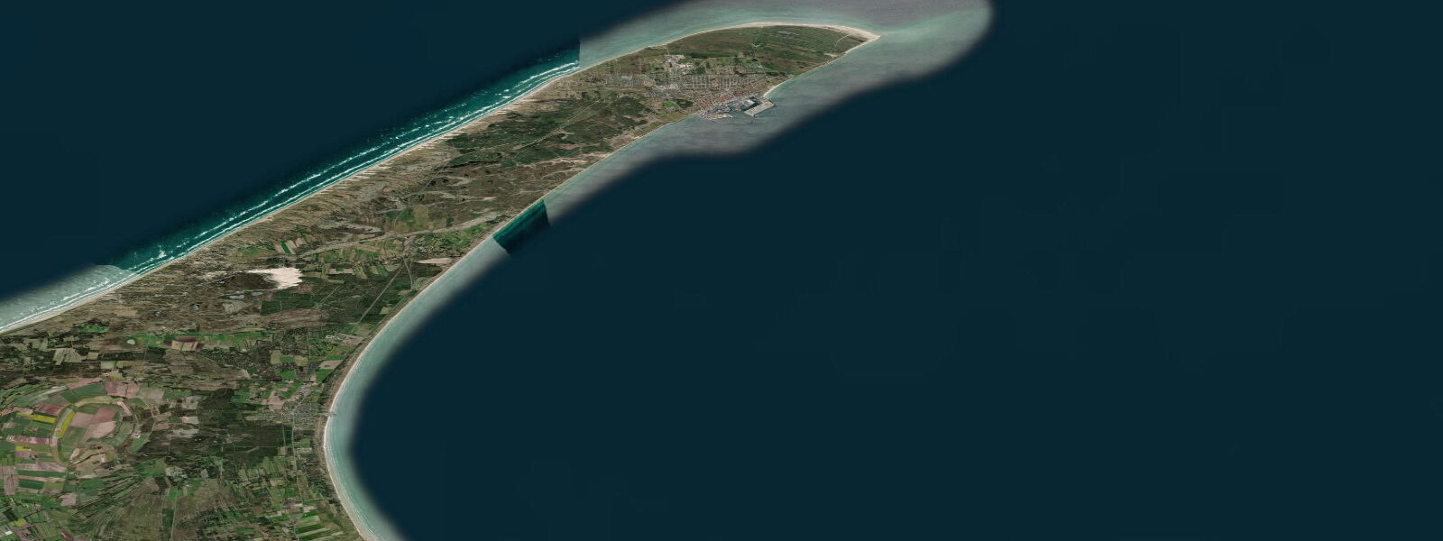
Skagen sits at the very tip of Jutland, the thin spit of sand that runs north from Denmark's mainland until it narrows to Grenen — the point where the Skagerrak and the Kattegat meet in a visible line of clashing water. The two seas arrive from different angles and with different wave patterns, and at Grenen the interference is real and observable: two sets of waves converge, intersect, and produce a turbulent ridge that runs along the sandbar for several hundred metres. It is not dramatic by ocean standards, but it is one of the more tangible illustrations of two bodies of water meeting that you can stand next to in northern Europe.
The tide at Skagen is small but slightly larger than Copenhagen's inner harbour. The Skagerrak connects to the North Sea and carries a stronger tidal signal than the closed Baltic; mean astronomical range here runs roughly 30 to 50 cm, and on the largest spring tides around new and full moons the swing can approach 70 cm. That is still modest by North Sea standards — Esbjerg on Denmark's North Sea coast reads a mean range over a metre — but it is enough to expose the wide sand flats at Grenen as the water drops and to produce a noticeable current through the Kattegat approaches.
Wind and storm surge dominate, here as at Copenhagen. Autumn and winter northwesterly storms off the Skagerrak push water level well above the predicted range; the sandy coast at Skagen is mobile, with Grenen's tip extending further northeast each decade as the longshore drift from west to east continues. Råbjerg Mile, the large inland moving dune east of Skagen, migrated from the coast and has been moving northeastward at roughly 15 metres per year for centuries.
Den Tilsandede Kirke (the Buried Church) at Gammel Skagen is the tower of a medieval church that the drifting sand overtook and buried — the tower persists as a local landmark and a record of what the sand drift does over centuries. Skagen Lighthouse on the northwestern peninsula is the primary navigation light for the Skagerrak-Kattegat transition, and the Skagen Fiskeauktion (fish auction) at the harbour is one of Denmark's most active. Shore anglers here work the sandy points for sea trout and flatfish on the changing current; the incoming tide from the Skagerrak side and the early ebb are the traditional windows for the sandy-point casters.
DMI (Danmarks Meteorologiske Institut) publishes the authoritative sea-level and surge forecasts for the Danish coast, including the Skagen gauge. Predictions on this page come from Open-Meteo Marine gridded model — useful for identifying the approximate rhythm of high and low, but the uncertainty on timing and height can be a significant fraction of the total signal at this location. Weight DMI's real-time gauge and forecast data for any activity where precise water level matters.
Tide questions about Skagen
Quick answers to the most common questions about tide times, range, and water access at Skagen.
When is the next high tide at Skagen?
The hero block at the top of this page shows the next predicted high at Skagen in local Central European Time (CET/CEST, UTC+1/UTC+2). The astronomical tide range here is roughly 30 to 50 cm — small but slightly larger than the inner Baltic ports further south. Wind and atmospheric pressure still dominate water-level variation, especially in autumn and winter. DMI (Danmarks Meteorologiske Institut) publishes the authoritative sea-level data for the Skagen gauge.
Why do two seas meet at Skagen?
Grenen, the sandy tip at Skagen, sits at the northern end of the Jutland peninsula where the Skagerrak (the arm of the North Sea running between Norway, Denmark, and Sweden) meets the Kattegat (the basin between Denmark and Sweden connecting to the Baltic). The two bodies of water approach from different angles — the Skagerrak from the northwest, the Kattegat from the south — and their wave trains, temperatures, and salinities differ enough to make the convergence line visible, particularly in moderate to strong wind. The sandbar shifts with the longshore drift; the point technically moves northeast by several metres each year.
What's the typical tide range at Skagen?
Mean astronomical range at Skagen is roughly 30 to 50 cm — noticeably larger than Copenhagen's inner harbour (10 to 30 cm) because the Skagerrak connection to the North Sea carries a stronger tidal signal than the closed Baltic. Spring tides around new and full moons can push the range toward 70 cm. Storm surges during autumn and winter Skagerrak storms can add 50 cm or more above the predicted level, swamping the astronomical signal entirely.
Where do these tide predictions come from?
Open-Meteo Marine, a free gridded global ocean model. Accuracy is typically within plus or minus 45 minutes on timing and within roughly 0.3 metres on height — which for Skagen's modest range means the uncertainty is a significant fraction of the total signal. For authoritative Danish coastal sea-level data, use DMI (Danmarks Meteorologiske Institut), who operate the Skagen gauge and publish storm-surge forecasts.
Is this safe to use for navigation?
No. The Skagerrak-Kattegat transition at Grenen carries commercial traffic and requires standard chart navigation. The Skagen Lighthouse sequence and Danish Maritime Authority Notices to Mariners cover the approaches. DMI publishes real-time sea-level and forecast data for the Skagen gauge. For any vessel operation in the area, use the official Danish Navigational Charts (Søkortafdelingen).
8-day tide table — Skagen
Heights relative to MSL. Predictions: Open-Meteo Marine (MeteoFrance SMOC, 0.08° grid) — heights relative to MSL (not chart datum / LAT). Model-derived.
| Day | Type | Time | Height |
|---|---|---|---|
| Wed 29 Jul | Low | 02:00 | -0.3m |
| High | 05:16 | -0.1m | |
| Low | 11:04 | -0.3m | |
| High | 17:24 | -0.0m | |
| Low | 23:16 | -0.4m | |
| Thu 30 Jul | High | 05:55 | -0.1m |
| Low | 11:38 | -0.3m | |
| High | 18:06 | -0.1m | |
| Fri 31 Jul | Low | 00:06 | -0.5m |
| High | 06:40 | -0.1m | |
| Low | 12:10 | -0.4m | |
| High | 18:45 | -0.1m | |
| Sat 01 Aug | Low | 00:45 | -0.4m |
| High | 07:10 | -0.1m | |
| Sun 02 Aug | Low | 01:36 | -0.5m |
| High | 08:04 | -0.2m | |
| Low | 13:48 | -0.5m | |
| High | 20:20 | -0.2m | |
| Mon 03 Aug | Low | 02:18 | -0.5m |
| High | 09:00 | -0.2m | |
| Low | 14:42 | -0.5m | |
| High | 21:04 | -0.2m | |
| Tue 04 Aug | Low | 03:10 | -0.6m |
| High | 22:20 | -0.2m | |
| Wed 05 Aug | Low | 01:00 | -0.3m |