Grenaa tide times
Grenaa tide forecast — heights relative to MSL.
Today's tide times for Grenaa
Tide times at Grenaa on Sunday, 21 June 2026: first high tide at 03:47pm, first low tide at 10:06pm. Sunrise 04:26am, sunset 10:09pm.
Tide chart for Grenaa
24-hour cosine-interpolated curve around the present moment. Heights relative to MSL. Predictions: Predictions: Open-Meteo Marine (MeteoFrance SMOC, 0.08° grid).
Sun, moon and conditions on Sun 21 Jun
Snapshot at build time — refreshes daily. Sea state from Open-Meteo Marine.
Highs and lows next 7 days
Every predicted high and low for the next week, with the daily tidal coefficient (0–120; higher = bigger swing, > 95 means stronger currents).
Other spots nearby
The three closest curated TideTurtle locations to Grenaa, measured by great-circle distance.
Today's solunar windows
Solunar tradition: major periods are the ≈3h windows around moon transit and opposition; minor are ≈2h around moonrise and moonset. Pair with the local tide stage and wind for the best read.
Cycle dates near Grenaa
Next spring tide on Wed 24 Jun (range 0.5m). Last neap on Sun 21 Jun. Next neap on Sat 27 Jun.
Spring tides cluster around new and full moons (biggest swings). Neap tides land on quarter moons (smallest swings). See the spring tide and neap tide glossary entries for the why.
About tides at Grenaa
A short guide to the coastline at Grenaa — geography, sea state, and what the tide is actually doing under your feet.
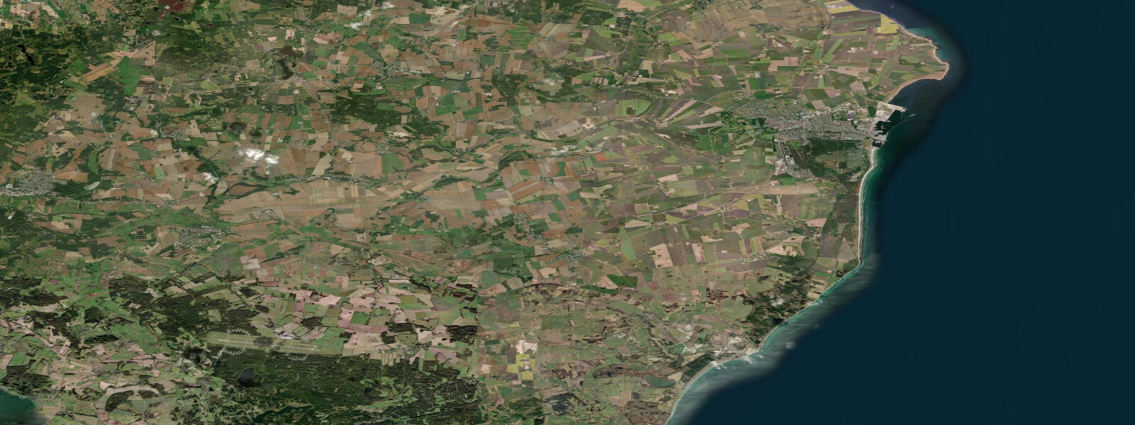
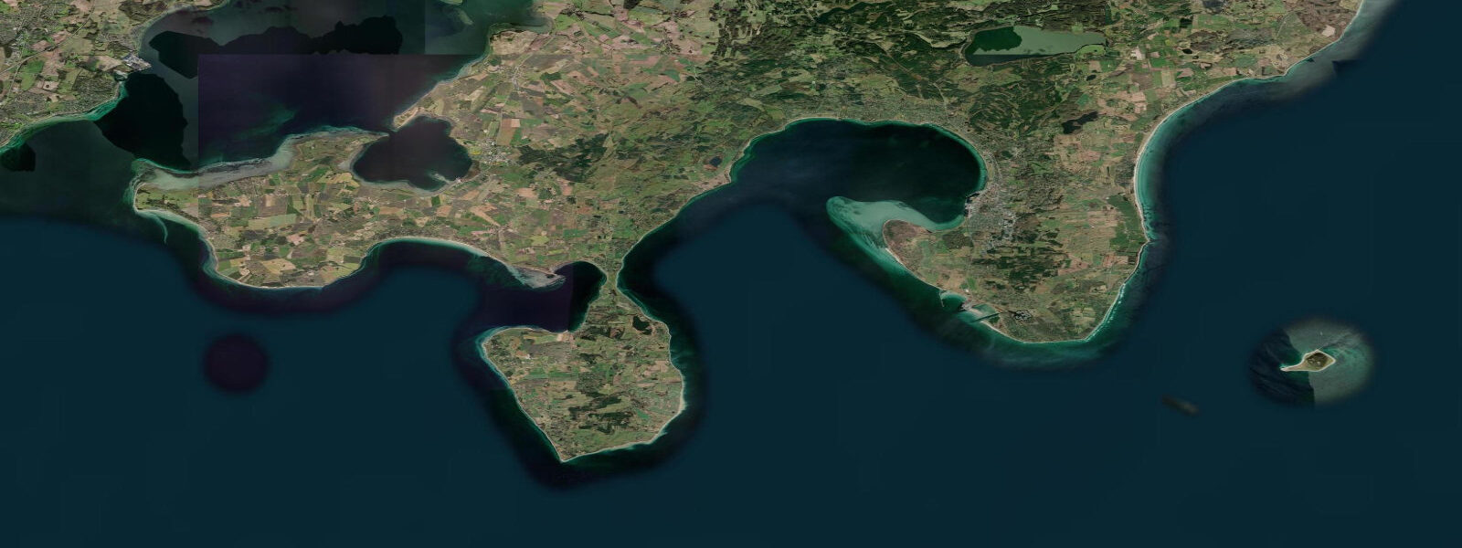
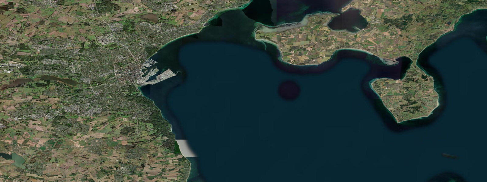
4 m. Two tides per day, broadly semidiurnal, though the Baltic's dampening influence keeps the range modest compared to the open North Sea. The harbour is the departure point for ferries to Anholt island (roughly 40 km offshore, a two-hour crossing) and to Varberg on Sweden's west coast — making tidal and weather awareness directly relevant for anyone planning those passages.
Anholt's ferry schedule is limited (typically one or two sailings per day in season), so missing it because of an unexpected tidal or weather delay has real consequences. The outer coast north and south of Grenaa town features long stretches of beach backed by dunes — some of the longest and least-crowded sandy shoreline in the Central Jutland region. 4 m range means the difference is visible rather than dramatic.
5 m above prediction are possible in sustained northerly winds, affecting both harbour operations and beach safety. Grenaa Strand beach directly north of the harbour is the most popular swimming spot; sheltered enough for families in most conditions but open enough to feel the full Kattegat swell in a northerly blow. 3 m on height.
Tide questions about Grenaa
Quick answers to the most common questions about tide times, range, and water access at Grenaa.
What is the tidal range at Grenaa?
Approximately 0.4 m mean range on the outer Kattegat coast at Grenaa — slightly more than the sheltered Ebeltoft Vig but similar to Aarhus further south. The semidiurnal pattern gives two tidal cycles per day. Wind-driven surges, particularly from northerly directions, can add or subtract 0.3–0.5 m on top of the predicted tide and are worth monitoring alongside the tidal forecast.
Does the Grenaa–Anholt ferry depend on tidal conditions?
The ferry from Grenaa to Anholt island (operated by Molslinjen) is primarily weather-dependent rather than tide-dependent, given the modest 0.4 m Kattegat range. However, strong northerly or northeasterly winds can delay or cancel sailings. The crossing takes approximately two hours and sailings are limited in number, so check the operator's live status and DMI's marine forecast before heading to the port — especially if travelling in autumn or winter when conditions deteriorate quickly.
Where is the best beach near Grenaa?
Grenaa Strand, directly north of the town and harbour, is the main swimming beach — broad, sandy, and backed by low dunes. It is widest within two hours of low water when the full foreshore is exposed. Further north, the coastline becomes wilder and less visited, with longer dune-backed stretches accessible from parking areas off the coastal road. In calm summer conditions, any of these beaches is excellent; in a northerly blow, the outer coast takes the full Kattegat fetch, so check the DMI coastal forecast.
What is Anholt island, and is it worth the ferry trip?
Anholt is a small island (about 22 km²) roughly 40 km offshore in the Kattegat, roughly equidistant between Denmark and Sweden. Most of the island is a protected nature reserve — a vast sandy heath and dune system with a small permanent population. The seal colony on the south side is the main draw for day-trippers. With limited ferry sailings (typically one or two per day in season), the tide table and weather forecast are both worth checking well in advance, as a missed ferry means a full extra day on the island or on the mainland.
Are tide predictions for Grenaa guaranteed to be accurate?
No prediction is guaranteed. Data on this page is derived from Open-Meteo Marine modelling (typical accuracy ±45 minutes, ±0.2–0.3 m) and is intended for planning purposes only. DMI (Danmarks Meteorologiske Institut) is the authoritative source for Danish coastal predictions. Always verify with DMI before any passage, ferry connection, or water-based activity where tidal state is safety-critical. This site does not accept responsibility for decisions made based on these predictions.
8-day tide table — Grenaa
Heights relative to MSL. Predictions: Open-Meteo Marine (MeteoFrance SMOC, 0.08° grid) — heights relative to MSL (not chart datum / LAT). Model-derived.
| Day | Type | Time | Height |
|---|---|---|---|
| Sun 21 Jun | High | 15:47 | -0.1m |
| Low | 22:06 | -0.4m | |
| Mon 22 Jun | High | 03:38 | -0.2m |
| Low | 10:18 | -0.6m | |
| High | 16:38 | -0.2m | |
| Low | 22:55 | -0.5m | |
| Tue 23 Jun | High | 05:00 | -0.1m |
| Low | 11:38 | -0.5m | |
| High | 17:38 | -0.2m | |
| Low | 23:50 | -0.4m | |
| Wed 24 Jun | High | 05:38 | -0.1m |
| Low | 12:45 | -0.6m | |
| High | 18:50 | -0.2m | |
| Thu 25 Jun | Low | 00:47 | -0.4m |
| High | 06:47 | 0.0m | |
| Low | 13:38 | -0.4m | |
| High | 19:20 | -0.1m | |
| Fri 26 Jun | Low | 01:47 | -0.4m |
| High | 07:43 | -0.1m | |
| Low | 14:22 | -0.5m | |
| High | 20:12 | -0.2m | |
| Sat 27 Jun | Low | 15:12 | -0.5m |
| High | 20:55 | -0.3m | |
| Sun 28 Jun | Low | 01:00 | -0.5m |