Montezuma, Costa Rica tide times
Montezuma, Costa Rica tide forecast — heights relative to MSL.
Today's tide times for Montezuma, Costa Rica
Tide times at Montezuma, Costa Rica on Friday, 3 July 2026: first high tide at 06:00pm, first low tide at 10:42pm. Sunrise 05:24am, sunset 06:04pm.
Tide chart for Montezuma, Costa Rica
24-hour cosine-interpolated curve around the present moment. Heights relative to MSL. Predictions: Predictions: Open-Meteo Marine (MeteoFrance SMOC, 0.08° grid).
Sun, moon and conditions on Fri 03 Jul
Snapshot at build time — refreshes daily. Sea state from Open-Meteo Marine.
Highs and lows next 7 days
Every predicted high and low for the next week, with the daily tidal coefficient (0–120; higher = bigger swing, > 95 means stronger currents).
Other spots nearby
The three closest curated TideTurtle locations to Montezuma, Costa Rica, measured by great-circle distance.
Today's solunar windows
Solunar tradition: major periods are the ≈3h windows around moon transit and opposition; minor are ≈2h around moonrise and moonset. Pair with the local tide stage and wind for the best read.
Cycle dates near Montezuma, Costa Rica
Last spring tide on Fri 03 Jul (range 2.0m). Next spring tide on Thu 09 Jul (range 1.9m). Next neap on Wed 08 Jul.
Spring tides cluster around new and full moons (biggest swings). Neap tides land on quarter moons (smallest swings). See the spring tide and neap tide glossary entries for the why.
About tides at Montezuma, Costa Rica
A short guide to the coastline at Montezuma, Costa Rica — geography, sea state, and what the tide is actually doing under your feet.
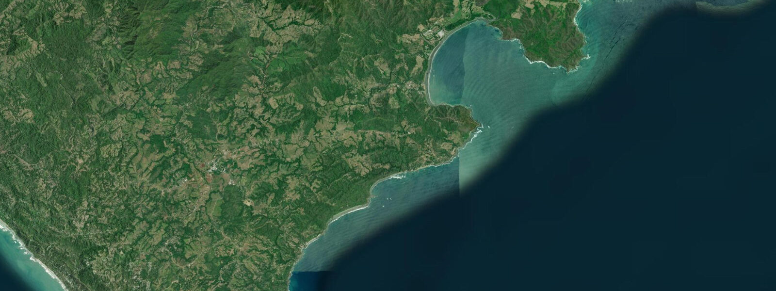
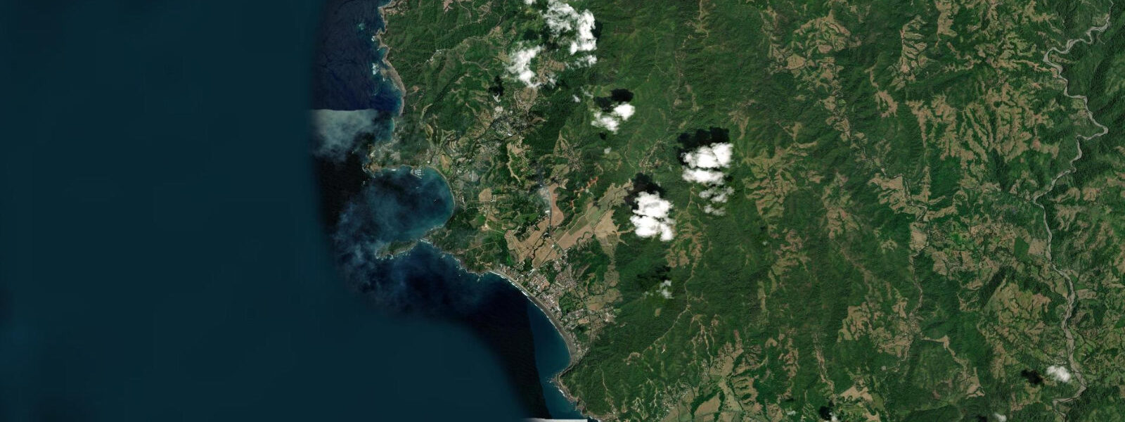
Montezuma sits at the southern tip of the Nicoya Peninsula, a village where the paved road effectively ends and the beach, the forest, and the waterfall within walking distance from the shore define the experience. The approach from the north takes two to three hours by dirt road from Nosara or by ferry from Puntarenas to the Nicoya Gulf side and then a 45-minute drive across the peninsula toe. The town itself is a cluster of wooden restaurants, hostels, and small shops on a street that ends at the beach; the character is resolutely low-key, a backpacker and yoga crowd on a smaller and less organised scale than Nosara.
The waterfall is 20 minutes' walk from the beach on a marked trail following the Río Montezuma upstream. The river cuts through the forest in a series of drops; the highest fall drops approximately 10 metres into a deep natural pool with a sand and gravel bottom. The pool is swimmable year-round; the water is cold relative to the ambient temperature, running off the forested hills above, and the pool depth allows jumping from the rock ledges on either side of the fall. Arriving before 10:00 puts you at the pool before the daily busloads from Jacó and Santa Teresa arrive after the ferry crossing.
The beach in front of Montezuma town is a series of rocky sections interrupted by short sand arcs, bounded at the north by the river mouth and at the south by the rocky headland. The sand sections are not wide — 15 to 30 metres from the waterline to the vegetation at high tide — and the rocky bottom alternates with sand between the boulders. The combination of rock and sand creates the intertidal platform that is most interesting at low water: sea urchins in the crevices, chitons on the exposed rock faces, and the hermit crabs that migrate across the damp sand at the waterline.
The tidal range at Montezuma is mesotidal — spring range 2 to 3 metres, mixed semidiurnal. The tide's effect here is most visible on the rocky intertidal platform. At low spring tide the full rock shelf between the sand sections is exposed, and the lowest 0.5 metres of the intertidal zone, normally submerged, opens up for exploration. The transition from low to high at spring covers this shelf in under 3 hours; moving toward the water from the upper beach at low tide requires tracking the flood rate. At high spring the beach narrows to its minimum and the rocks at the base of the headland are completely awash.
Isla Tortuga (Tortuga Island) is 45 minutes offshore by boat and is the primary excursion from Montezuma. The island is an uninhabited reserve with white sand beaches and a fringing coral reef suitable for snorkelling. Day trips run daily from the Montezuma dock when weather allows; the boat crosses the Gulf of Nicoya and the offshore Pacific swell depending on departure direction. The snorkelling at Isla Tortuga is the best in the immediate Montezuma area — the inshore reef around Montezuma itself has been subject to years of human presence and the coral is less intact than the island site.
The Cabo Blanco Absolute Nature Reserve, 11 kilometres south of Montezuma at the peninsula's southernmost tip, is the oldest protected area in Costa Rica, established in 1963. The reserve encompasses 1,172 hectares of primary and recovering forest; access is by hiking trail from the reserve entrance. Pelicans, frigate birds, brown boobies, and the resident troops of white-faced capuchin monkeys characterise the coast. The tide at Cabo Blanco has the same mesotidal range as Montezuma; the rocky shoreline of the reserve is fully exposed at low spring and provides the intertidal platform exploration that the more visited beaches further north do not offer in isolation.
For anglers, the river mouth at Montezuma and the rocky points on both sides of the village hold snook and roosterfish on incoming tide at dawn. The river outflow on the ebb concentrates fish in the mixing zone 50 to 100 metres offshore from the river mouth; casting lures into this zone in the hour before and after low water produces strikes when the fish are actively feeding on bait flushed out by the current.
Boat access to Montezuma from Jacó or Herradura on the opposite side of the gulf shortens the overland journey significantly. The Zuma Tours water taxi crosses directly in 90 minutes, eliminating the coastal road from Paquera. Departure times depend on the gulf swell and wind; the crossing is not operated in conditions with more than 1-metre swell in the open gulf section.
Tide predictions for Montezuma come from Open-Meteo Marine, a global gridded ocean model. Accuracy is within plus or minus 45 minutes on timing and 0.2 to 0.3 metres on height. Cross-reference predictions with observed water level on the rock platform on arrival — the mesotidal range makes the visual tide state immediately apparent.
Tide questions about Montezuma, Costa Rica
Quick answers to the most common questions about tide times, range, and water access at Montezuma, Costa Rica.
How do I get to the Montezuma waterfall and when should I go?
The waterfall is 20 minutes from the beach on a marked trail that follows the Río Montezuma upstream from the village. The trail is obvious from the beach — take the path parallel to the river at the northern end of the beach and follow the river through the forest. The first cascade is at 15 minutes; the main large fall with the deep swimming pool is a few minutes further. Arrive before 10:00 to reach the pool before tour groups from Jacó and Santa Teresa arrive on the morning ferry crossing. The pool is swimmable year-round. The path is muddy during the rainy season (May through November); closed-toe shoes with grip are advisable. The river level rises after heavy rain and makes the crossing points on the trail impassable for a few hours; check conditions on wet days.
What is the tide range at Montezuma and when is the best time to explore the rock platform?
Spring tide range at Montezuma is 2 to 3 metres — mesotidal, following the Nicoya Peninsula Pacific pattern. The rocky intertidal platform between the sand arcs in front of the village is the most interesting at low spring tide, when the lowest 0.5 metres of the intertidal zone is exposed. The best exploration window is the 90 minutes centred on predicted low water; the flood tide refills the platform in under 3 hours and moves fast in the lower sections. Low spring tides occur around new and full moon; the largest exposures are on afternoons and early mornings in the dry season when the diurnal inequality produces the lowest low tides of the day. Tide predictions come from Open-Meteo Marine, accurate within plus or minus 45 minutes on timing and 0.2 to 0.3 metres on height.
What is the Isla Tortuga day trip and is it worth it from Montezuma?
Isla Tortuga is an uninhabited island reserve 45 minutes offshore, the primary organised excursion from Montezuma. Day trips run by boat from the Montezuma dock to the island's white sand beach and fringing coral reef. The snorkelling at Isla Tortuga is significantly better than anything accessible from the Montezuma shoreline directly — the reef has higher coral coverage and fish density than the inshore sites around the village. The trip includes the boat crossing (which can be bumpy if the gulf is running swell), reef snorkelling, and a beach stop. Budget a full day. Trips depart around 09:00 and return by mid-afternoon; operators confirm departure based on the day's conditions in the Gulf of Nicoya.
Is Cabo Blanco Nature Reserve accessible as a day trip from Montezuma?
Yes. Cabo Blanco Absolute Nature Reserve, the oldest protected area in Costa Rica, is 11 kilometres south of Montezuma — a 15-minute taxi ride or a 2-hour walk on the coastal path. The reserve is open Wednesday through Sunday; it is closed Monday and Tuesday to reduce cumulative visitor pressure. The primary experience is hiking the forest trail to the reserve's southern beach — a round trip of around 4 to 5 hours at a relaxed pace, including the beach stop. The forest trail passes through primary and recovering dry tropical forest with white-faced capuchin monkeys, brown boobies nesting on the offshore rocks, and pelicans working the coastline below the cliffs. Carry 2 litres of water minimum; there is no water source on the trail.
What is the best approach for anglers fishing the Montezuma river mouth?
The Río Montezuma mouth is a productive snook and roosterfish location. The river outflow on the ebb tide creates a mixing zone 50 to 100 metres offshore where bait fish are flushed from the river into the sea and predators congregate at the boundary. The most productive window is the last hour of the ebb and the first hour of the flood, dawn being the prime time for both species. Snook hold tight to the river edge and respond to suspending plugs and soft plastic swimbaits fished with the current. Roosterfish patrol the rocky points immediately north and south of the river mouth on the incoming tide; jigs and poppers cast along the rock-sand interface at first light produce strikes. The incoming tide also pushes jack crevalle onto the inner sand; they are visible as surface disturbances chasing bait 30 to 80 metres offshore.
8-day tide table — Montezuma, Costa Rica
Heights relative to MSL. Predictions: Open-Meteo Marine (MeteoFrance SMOC, 0.08° grid) — heights relative to MSL (not chart datum / LAT). Model-derived.
| Day | Type | Time | Height |
|---|---|---|---|
| Fri 03 Jul | High | 18:00 | 1.1m |
| Low | 22:42 | -0.6m | |
| Sat 04 Jul | High | 04:58 | 1.4m |
| Low | 11:01 | -0.3m | |
| High | 17:02 | 1.4m | |
| Low | 23:17 | -0.5m | |
| Sun 05 Jul | High | 05:37 | 1.5m |
| Low | 11:45 | -0.3m | |
| High | 17:46 | 1.4m | |
| Low | 23:54 | -0.5m | |
| Mon 06 Jul | High | 06:18 | 1.5m |
| Tue 07 Jul | Low | 00:36 | -0.4m |
| High | 07:01 | 1.5m | |
| Low | 13:18 | -0.3m | |
| High | 19:18 | 1.2m | |
| Wed 08 Jul | Low | 01:21 | -0.3m |
| High | 07:51 | 1.5m | |
| Low | 14:14 | -0.3m | |
| High | 20:15 | 1.2m | |
| Thu 09 Jul | Low | 02:15 | -0.3m |
| High | 08:45 | 1.5m | |
| Low | 15:15 | -0.3m | |
| High | 21:16 | 1.2m | |
| Fri 10 Jul | Low | 03:20 | -0.3m |
| High | 09:44 | 1.5m | |
| Low | 16:18 | -0.4m |