Jacó, Puntarenas tide times
Jacó, Puntarenas tide forecast — heights relative to MSL.
Today's tide times for Jacó, Puntarenas
Tide times at Jacó, Puntarenas on Friday, 19 June 2026: first high tide at 05:22am, first low tide at 11:27am, second high tide at 05:34pm, second low tide at 11:52pm. Sunrise 05:19am, sunset 06:00pm.
Tide chart for Jacó, Puntarenas
24-hour cosine-interpolated curve around the present moment. Heights relative to MSL. Predictions: Predictions: Open-Meteo Marine (MeteoFrance SMOC, 0.08° grid).
Sun, moon and conditions on Fri 19 Jun
Snapshot at build time — refreshes daily. Sea state from Open-Meteo Marine.
Highs and lows next 7 days
Every predicted high and low for the next week, with the daily tidal coefficient (0–120; higher = bigger swing, > 95 means stronger currents).
Other spots nearby
The three closest curated TideTurtle locations to Jacó, Puntarenas, measured by great-circle distance.
Today's solunar windows
Solunar tradition: major periods are the ≈3h windows around moon transit and opposition; minor are ≈2h around moonrise and moonset. Pair with the local tide stage and wind for the best read.
Cycle dates near Jacó, Puntarenas
Next spring tide on Fri 19 Jun (range 2.5m). Next neap on Wed 24 Jun.
Spring tides cluster around new and full moons (biggest swings). Neap tides land on quarter moons (smallest swings). See the spring tide and neap tide glossary entries for the why.
About tides at Jacó, Puntarenas
A short guide to the coastline at Jacó, Puntarenas — geography, sea state, and what the tide is actually doing under your feet.
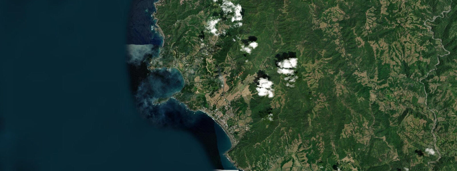
Jacó sits on Costa Rica's central Pacific coast, 130 km west of San José and about 90 minutes by road through the mountains and the Carara corridor. The town faces southwest along a 4 km beach in Puntarenas province, and the Pacific tide shapes nearly everything that happens here — from the surf break to the river mouth at the north end of the beach.
The Pacific at Jacó is semidiurnal with noticeable diurnal inequality: you get two highs and two lows each day, but one high is consistently taller than the other. Mean spring range runs 2.5–3.5 m, so the difference between a spring high and a spring low is substantial — roughly the height of a beach volleyball net on top of a refrigerator. Neap tides compress that range to 1.0–1.5 m. The datum used in Central American Pacific tide tables is mean lower low water (MLLW).
For surfers and wave-watchers, the tidal stage matters. Jacó's beach break faces southwest and catches consistent Pacific groundswell with periods of 12–16 seconds, generated by Southern Ocean and North Pacific storm systems tracking across the open ocean. The wave shape changes with the tide: at mid to low water, the sand bank beneath the break is exposed enough that waves pitch and steepen, producing the kind of hollow face that makes surfing here worth the drive from San José. At high spring tide, 3.0–3.5 m above MLLW, the same sand bank is buried under a metre of water and the waves lose definition — they still break, but the face is fatter and slower. Most experienced surfers at Jacó target the two to three hours either side of low water on a 2.0 m or greater tidal range day.
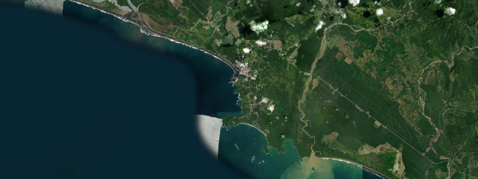
The Río Jacó empties into the ocean at the north end of the beach. This is where the estuary character of the town becomes most visible. At high spring tide the river mouth widens and spreads — the sand flat between the mouth and the main beach becomes shallow and weedy, and the north stretch of beach narrows or disappears entirely under water pushed up by the tidal surge. At low water, typically around 05:30 and 17:45 on a mean tidal day (times shift 45–50 minutes later each day through the lunar cycle), the same sand flat dries out and becomes firm enough to walk. The river carries freshwater organisms and organic material into the nearshore, which makes the water murky close to the mouth regardless of tide.
The estuario south of town and the river system north are both habitat for the American crocodile (Crocodylus acutus), a species that tolerates salt and brackish water. Local guides run crocodile-watching tours from the highway bridge over the Río Tárcoles, 10 km north of Jacó, where the population is large and reliably visible. Be conservative around any tidal mangrove edge at dawn and dusk — American crocodiles are active in low light.
At high spring tide, Jacó beach's 4 km length is visible but narrower — the berm is typically 15–20 m wide. As the tide falls toward the spring low, the exposed sand flat can extend 40–50 m seaward of the dry-sand berm. That wide low-tide beach is good territory for families with young children: the shallow angle and long run-up distance mean smaller waves break far from shore before they reach running-depth water.
Carara National Park begins 10 km north of Jacó. It is the northern limit of the Pacific lowland tropical rainforest zone, and the park is the primary accessible site in Costa Rica for viewing scarlet macaws (Ara macao) in flight. The macaws nest in the Río Tárcoles floodplain and fly morning and evening routes between foraging areas — the bridge over the Tárcoles is the best single viewpoint for both crocodiles below and macaws overhead.
Playa Hermosa — not the one in Guanacaste, this is the Puntarenas version — lies 7 km south of Jacó along the coastal road. It is longer, less developed, and generally less crowded than Jacó. The wave quality at Playa Hermosa is considered superior for experienced surfers: the beach receives the same Pacific groundswell but the bottom contour produces a more consistent A-frame break. Low-tide access to Playa Hermosa from Jacó by vehicle is straightforward; the road runs parallel to the coast and stays above the tidal zone.
Tide data for Jacó, Puntarenas comes from the Open-Meteo Marine API, a gridded model product. Timing accuracy is ±45 minutes, height accuracy ±0.3 m ��— usable for trip planning, not for navigation.
Tide questions about Jacó, Puntarenas
Quick answers to the most common questions about tide times, range, and water access at Jacó, Puntarenas.
What is the tidal range at Jacó and when is the best time to surf?
Jacó operates on a Pacific semidiurnal tide with noticeable diurnal inequality. Mean spring range is 2.5–3.5 m, dropping to 1.0–1.5 m on neaps. The best surf conditions at Jacó's beach break come at mid to low tide when the sand bank steepens the wave face, producing a faster and hollower ride. At high spring water — 3.0 m or more above MLLW — the same break softens considerably. Target the two to three hours either side of low water on days with a tidal range above 2.0 m for the best shape. Low tides at Jacó typically fall in the early morning and late afternoon on a mean tidal day, shifting roughly 45–50 minutes later each day through the lunar cycle. Check tideturtle.com the evening before to plan your lineup time.
Is the Río Jacó estuary safe to swim near at low tide?
Swimming near the Río Jacó estuary mouth is not recommended regardless of tide stage. The American crocodile (Crocodylus acutus) inhabits the river and estuarine zone — a species that tolerates brackish and saltwater conditions and can move into the nearshore. The estuary is most visually accessible at low water when the sand flat between the river mouth and the main beach is exposed, but that same low-water period can bring crocodiles closer to the beach edge. Stay well clear of the river mouth and any mangrove margins, particularly at dawn and dusk when crocodiles are most active. The main Jacó beach well south of the river mouth is a different story — that stretch has no estuary influence and is the area used by most swimmers and families.
How much does the beach width change between high and low tide at Jacó?
At high spring tide — roughly 3.0–3.5 m above MLLW — the dry-sand berm at Jacó is approximately 15–20 m wide. At low spring tide, the same beach can extend 40–50 m seaward as the tide exposes the sand flat. The north end of the beach near the Río Jacó estuary sees the most dramatic change: the sand flat between the river mouth and the main beach floods at high spring water and drains at low, effectively adding and subtracting a significant strip of beach. For beach families with young children, the low-tide window is the most comfortable — the wide exposed flat creates a long shallow run-up zone where waves dissipate before reaching standing depth.
Where can I see crocodiles near Jacó?
The Río Tárcoles bridge, 10 km north of Jacó on the coastal highway (Route 34), is Costa Rica's most reliably productive crocodile viewing site. American crocodiles (Crocodylus acutus) haul out on the river banks and mud flats below the bridge in numbers that can reach 15–20 individuals during the dry season. Viewing is best from the bridge railing in the morning before vehicle traffic picks up. The same bridge is the primary location for watching scarlet macaws (Ara macao) flying between Carara National Park and their roosting areas. Both species are active at similar times — early morning, before 09:00, gives you the best chance of seeing both without standing in midday heat.
What is the drive from San José to Jacó and are roads accessible year-round?
Jacó is approximately 130 km west of San José via Route 27 (the Costanera Sur toll road through the mountains) and Route 34 along the Pacific coast — a drive of 90 minutes to two hours depending on traffic and road conditions. The toll road (Route 27) is paved and well-maintained year-round; it replaced the older mountain route through Atenas and is significantly faster. The coastal road south from Jacó toward Playa Hermosa and Quepos (Route 34) is paved and passable in a standard vehicle. During the rainy season (May–November) river levels rise and occasional flooding can affect low-lying sections of Route 34; the main San José–Jacó route on Route 27 is not significantly affected. No four-wheel drive is required for Jacó itself.
7-day tide table — Jacó, Puntarenas
Heights relative to MSL. Predictions: Open-Meteo Marine (MeteoFrance SMOC, 0.08° grid) — heights relative to MSL (not chart datum / LAT). Model-derived.
| Day | Type | Time | Height |
|---|---|---|---|
| Fri 19 Jun | High | 05:22 | 1.7m |
| Low | 11:27 | -0.7m | |
| High | 17:34 | 1.7m | |
| Low | 23:52 | -0.8m | |
| Sat 20 Jun | High | 06:12 | 1.7m |
| Low | 12:23 | -0.5m | |
| High | 18:32 | 1.6m | |
| Sun 21 Jun | Low | 00:45 | -0.6m |
| High | 07:06 | 1.6m | |
| Low | 13:22 | -0.4m | |
| High | 19:24 | 1.4m | |
| Mon 22 Jun | Low | 01:37 | -0.5m |
| High | 08:00 | 1.5m | |
| Low | 14:21 | -0.3m | |
| High | 20:24 | 1.2m | |
| Tue 23 Jun | Low | 02:32 | -0.3m |
| High | 08:57 | 1.4m | |
| Low | 15:23 | -0.3m | |
| High | 21:23 | 1.1m | |
| Wed 24 Jun | Low | 03:33 | -0.3m |
| High | 09:52 | 1.4m | |
| Low | 16:21 | -0.3m | |
| Thu 25 Jun | High | 10:48 | 1.3m |
| Low | 17:00 | -0.3m |