Playa Flamingo, Guanacaste tide times
Playa Flamingo, Guanacaste tide forecast — heights relative to MSL.
Today's tide times for Playa Flamingo, Guanacaste
Tide times at Playa Flamingo, Guanacaste on Friday, 19 June 2026: first high tide at 05:19am, first low tide at 11:25am, second high tide at 05:36pm, second low tide at 11:52pm. Sunrise 05:22am, sunset 06:06pm.
Tide chart for Playa Flamingo, Guanacaste
24-hour cosine-interpolated curve around the present moment. Heights relative to MSL. Predictions: Predictions: Open-Meteo Marine (MeteoFrance SMOC, 0.08° grid).
Sun, moon and conditions on Fri 19 Jun
Snapshot at build time — refreshes daily. Sea state from Open-Meteo Marine.
Highs and lows next 7 days
Every predicted high and low for the next week, with the daily tidal coefficient (0–120; higher = bigger swing, > 95 means stronger currents).
Other spots nearby
The three closest curated TideTurtle locations to Playa Flamingo, Guanacaste, measured by great-circle distance.

Today's solunar windows
Solunar tradition: major periods are the ≈3h windows around moon transit and opposition; minor are ≈2h around moonrise and moonset. Pair with the local tide stage and wind for the best read.
Cycle dates near Playa Flamingo, Guanacaste
Next spring tide on Fri 19 Jun (range 2.3m). Next neap on Wed 24 Jun.
Spring tides cluster around new and full moons (biggest swings). Neap tides land on quarter moons (smallest swings). See the spring tide and neap tide glossary entries for the why.
About tides at Playa Flamingo, Guanacaste
A short guide to the coastline at Playa Flamingo, Guanacaste — geography, sea state, and what the tide is actually doing under your feet.
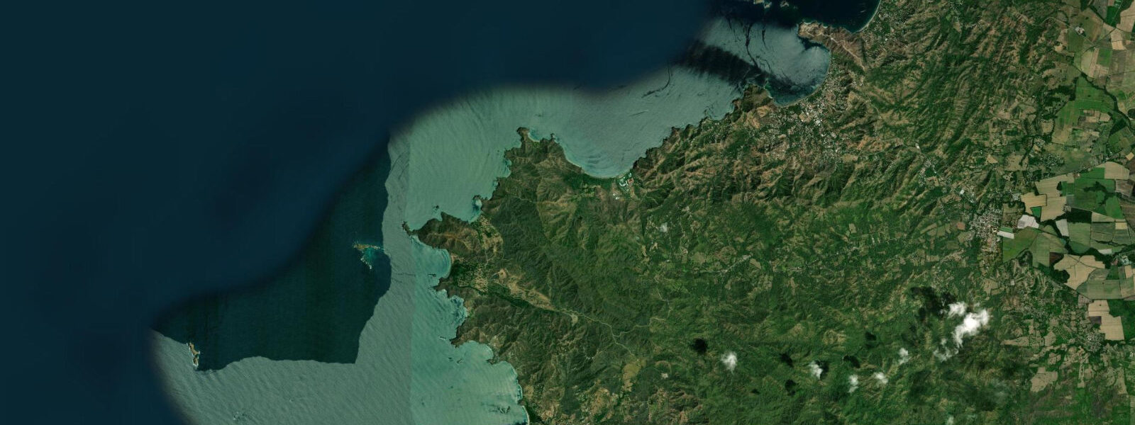
Playa Flamingo is a 1.5 km white-sand beach on Guanacaste's Pacific coast, flanked on its northern section by the Flamingo Marina — the full-service yacht harbour that makes this one of the operational hubs of the Costa Rican sportfishing industry. The beach faces west, catching long afternoon light over the Pacific, and the combination of deep-water marina access and open ocean exposure within 30 km defines almost everything that happens here tidally.
The tides follow the Pacific Costa Rica semidiurnal pattern with diurnal inequality. Mean spring range is 2.5–3.5 m. Low spring water sits around 0.1–0.2 m above chart datum; mean higher high water reaches 3.0–3.3 m. Two highs and two lows per day, with the heights unequal — the larger low and larger high differ meaningfully from the secondary pair on the same day. Check the full tidal curve for any given day rather than only noting the time of low water.
The Flamingo Marina entrance channel is the most operationally tide-dependent feature at Playa Flamingo. The channel runs 1.5 m depth at low spring water — enough for centre-console sportfishers and small day boats, but a hard limit for keelboats with drafts of 1.8 m or more. Keelboat skippers waiting on tide should plan marina entry and exit in the two hours around high water, when the channel carries 3.0–3.3 m over the bar. The marina itself is protected from ocean swell; the constraint is the entrance transit. The full-service sportfishing charter fleet — 40–45 foot boats targeting sailfish, marlin, and dorado — docks here and operates with centre-console draft, so the charter boats are not tide-constrained. Sailfish grounds start 15 km offshore; the 200 m depth contour where the productive blue-water zone begins is 30 km from the marina entrance.
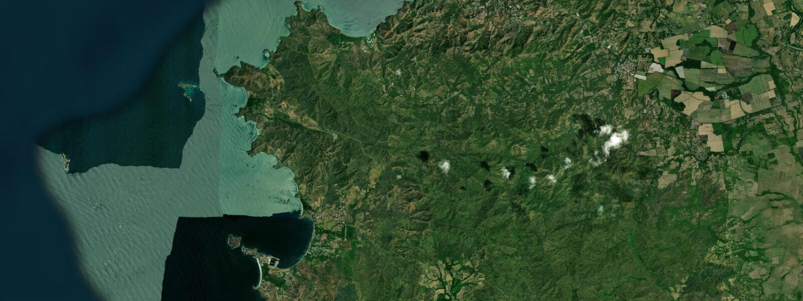
At low spring water a 100 m tidal flat is exposed south of the main Flamingo beach, extending from the beach face toward the rocky south headland. The flat is firm sand and shell gravel, walkable in reef shoes. The south headland rises above a marine biology station and gives 20–30 m of elevation over the channel between Flamingo and Potrero Bay. From the headland, spinner dolphin pods are visible in the channel during the late dry season (March–April) when small baitfish schools are concentrated close to shore. Manta rays cross the channel area in the same period — look for the distinctive wingtip break at the surface, most visible in flat morning conditions.
The dry season at Playa Flamingo runs December through April. During these months the northeast trades reduce swell from the north, morning seas are typically flat to 0.3 m through 09:00, and visibility in the water reaches 12–18 m over the inshore reef. This is the primary snorkelling window and the period when the sportfishing fleet operates at highest capacity. Afternoon winds build to 15–20 knots from the north most days, roughening the bay surface by 11:00–12:00. An early start — in the water before 09:00 — captures the flat window before the chop builds.
The wet season (May through November) brings increased swell from the southwest and the possibility of strong offshore systems. Reef visibility fluctuates as sediment load increases with wet-season rainfall inland. However, the wet season also brings green sea turtle nesting on Playa Potrero (3 km north) and reduces beach crowds substantially — quieter water, more wildlife, less predictable snorkelling.
Playa Potrero is 3 km north of Flamingo along the coast road, a longer and wider beach with calmer conditions for family swimming due to a broader reef shelf. Tamarindo is 15 km south — the main town for regional supplies, flight connections, and nightlife. The Flamingo area itself has several restaurants and accommodation concentrated around the marina.
For anglers not chartering a full sportfishing trip, the south headland at Playa Flamingo is the shore-based option. Roosterfish move along the headland face on the incoming tide in the dry season; jack crevalle and cubera snapper hold at the channel edge. Cast heavy metal jigs into the wash at the headland base or use live skipjack tuna (available from the charter operators in the morning) as bait. Respect the marine biology station access path — the headland trail passes through station property.
Tide data for Playa Flamingo comes from the Open-Meteo Marine API, a gridded model product. Timing accuracy is ±45 minutes, height accuracy ±0.3 m — usable for trip planning, not for navigation.
Tide questions about Playa Flamingo, Guanacaste
Quick answers to the most common questions about tide times, range, and water access at Playa Flamingo, Guanacaste.
What is the tidal range at Playa Flamingo, Guanacaste?
Playa Flamingo has a semidiurnal Pacific tide with diurnal inequality. Mean spring range is 2.5–3.5 m, with low spring water around 0.1–0.2 m above chart datum and mean higher high water around 3.0–3.3 m. There are two highs and two lows per day, but the pair heights are unequal — the largest low and largest high differ from the secondary set on the same day by 0.5–1.0 m. For marina entry, beach width planning, and snorkelling timing, check the full daily tidal curve rather than only the low and high times.
When can keelboats enter the Flamingo Marina?
The Flamingo Marina entrance channel runs 1.5 m depth at low spring water. Keelboats with drafts of 1.8 m or more must time entry and exit to the two hours around high water, when the channel carries 3.0–3.3 m. At mean high water neap (roughly 2.2 m above datum), the channel is adequate for moderate-draft boats but tight. Check the day's predicted high water height — a neap high significantly below spring levels reduces the available window. Centre-console sportfishers and outboard-powered boats are not draft-constrained by the channel.
What is the sportfishing season and target species at Playa Flamingo?
The Flamingo charter fleet targets sailfish, marlin, wahoo, and dorado year-round, with peak sailfish action from December through April when the northeast trades align with productive surface conditions. The productive blue-water zone — 200 m depth contour — sits 30 km offshore. Full-day charters depart Flamingo Marina at 06:00–07:00 to reach the grounds by 07:30. Half-day trips target inshore roosterfish, snapper, and jack within 15 km. The wet season (May–November) can produce large marlin but offshore conditions are less predictable. Book through the marina-based operators; boats fill up a day ahead in peak season.
When is the best time to snorkel at Playa Flamingo?
Dry season (December–April) morning sessions before 09:00 are the optimal snorkelling window at Playa Flamingo. Morning seas are flat to 0.3 m, visibility reaches 12–18 m over the inshore reef, and the afternoon trade winds (15–20 knots by 11:00–12:00) have not yet roughened the surface. Snorkel the incoming tide window — two hours before to one hour after high water — for the best depth over the reef structure. Avoid the south tidal flat in the last hour before low water; the current accelerates as water drains off the flat.
Where can I see dolphins and manta rays near Playa Flamingo?
The south headland above the marine biology station is the best vantage point for wildlife observation. Spinner dolphin pods move through the channel between Playa Flamingo and Potrero Bay in the late dry season (March–April) when baitfish schools concentrate close inshore. Manta rays cross the same channel in the same period — look for the distinctive wingtip break at the surface. Flat calm mornings give the best surface visibility: arrive at the headland by 07:00 before the trades build. Whale watching (humpbacks) is possible from charter boats September–October as animals move through on southward migration.
7-day tide table — Playa Flamingo, Guanacaste
Heights relative to MSL. Predictions: Open-Meteo Marine (MeteoFrance SMOC, 0.08° grid) — heights relative to MSL (not chart datum / LAT). Model-derived.
| Day | Type | Time | Height |
|---|---|---|---|
| Fri 19 Jun | High | 05:19 | 1.6m |
| Low | 11:25 | -0.6m | |
| High | 17:36 | 1.6m | |
| Low | 23:52 | -0.7m | |
| Sat 20 Jun | High | 06:12 | 1.6m |
| Sun 21 Jun | Low | 00:43 | -0.6m |
| High | 07:07 | 1.6m | |
| Low | 13:19 | -0.3m | |
| High | 19:24 | 1.4m | |
| Mon 22 Jun | Low | 01:37 | -0.4m |
| High | 08:00 | 1.5m | |
| Low | 14:21 | -0.2m | |
| Tue 23 Jun | High | 08:55 | 1.4m |
| Low | 15:21 | -0.2m | |
| Wed 24 Jun | High | 09:52 | 1.3m |
| Low | 16:20 | -0.2m | |
| High | 22:18 | 1.0m | |
| Thu 25 Jun | Low | 04:22 | -0.2m |
| High | 10:46 | 1.3m | |
| Low | 17:00 | -0.2m |