Playa Conchal, Guanacaste tide times
Playa Conchal, Guanacaste tide forecast — heights relative to MSL.
Today's tide times for Playa Conchal, Guanacaste
Tide times at Playa Conchal, Guanacaste on Friday, 19 June 2026: first high tide at 05:19am, first low tide at 11:25am, second high tide at 05:36pm, second low tide at 11:51pm. Sunrise 05:22am, sunset 06:06pm.
Tide chart for Playa Conchal, Guanacaste
24-hour cosine-interpolated curve around the present moment. Heights relative to MSL. Predictions: Predictions: Open-Meteo Marine (MeteoFrance SMOC, 0.08° grid).
Sun, moon and conditions on Fri 19 Jun
Snapshot at build time — refreshes daily. Sea state from Open-Meteo Marine.
Highs and lows next 7 days
Every predicted high and low for the next week, with the daily tidal coefficient (0–120; higher = bigger swing, > 95 means stronger currents).
Other spots nearby
The three closest curated TideTurtle locations to Playa Conchal, Guanacaste, measured by great-circle distance.

Today's solunar windows
Solunar tradition: major periods are the ≈3h windows around moon transit and opposition; minor are ≈2h around moonrise and moonset. Pair with the local tide stage and wind for the best read.
Cycle dates near Playa Conchal, Guanacaste
Next spring tide on Fri 19 Jun (range 2.3m). Next neap on Wed 24 Jun.
Spring tides cluster around new and full moons (biggest swings). Neap tides land on quarter moons (smallest swings). See the spring tide and neap tide glossary entries for the why.
About tides at Playa Conchal, Guanacaste
A short guide to the coastline at Playa Conchal, Guanacaste — geography, sea state, and what the tide is actually doing under your feet.
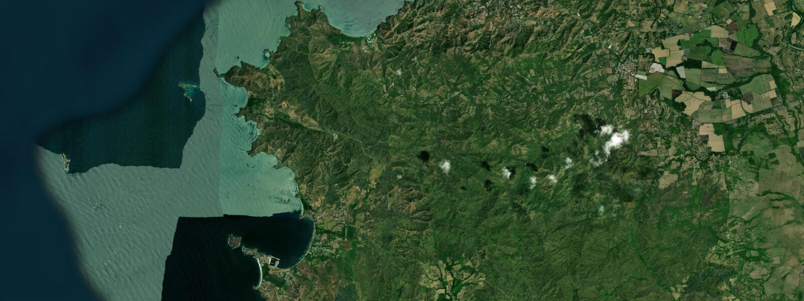
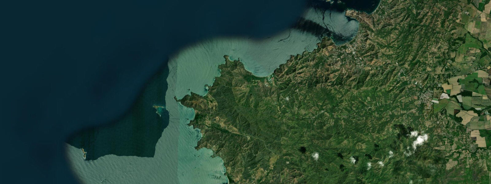
Playa Conchal sits 5 km north of Tamarindo on Guanacaste's Pacific dry forest coast, and its beach surface tells you immediately that you are somewhere specific. The white and pale pink material underfoot is not sand — it is shell fragments, millions of broken conchas ground by wave action into a granular matrix that crunches underfoot and glitters in direct sunlight. The source is the offshore reef system: molluscs live and die on the reef, their shells break apart, and the wave cycle deposits the fragments on the beach face over centuries. The effect is a pale, shell-bright beach unlike anything in the region.
The tides on this section of Costa Rica's Pacific coast are semidiurnal with significant diurnal inequality. There are two high tides and two low tides per day, but they are not equal in height. Mean spring range is 2.5–3.5 m — the typical low spring water level is around 0.1–0.2 m above chart datum, while mean higher high water reaches 3.0–3.3 m. On a big spring low, the beach face at Playa Conchal extends 80–100 m from the vegetation line to the waterline. On a neap high, the water comes within 20 m of the trees.
The most visible tidal event at Playa Conchal is what happens at the south end of the beach. Playa Brasilito is the next beach south, separated from Conchal by a low sandy headland. At mid and high tide the two beaches are distinct, separated by the headland. At low spring water a sand flat is exposed connecting the inner south end of Playa Conchal to Playa Brasilito — a walkable crossing 60–80 m wide, passable dry-footed in the last hour before low and the first hour after. The lagoon-like depression behind this flat holds water until late in the tidal cycle, then partially drains across the exposed sand. Timing the crossing: plan to arrive at the south end with two hours to spare before predicted low.
The offshore reef at Playa Conchal runs 60–100 m from shore along most of the beach. At high spring water the reef is 2.0–3.0 m deep over the coral heads — good snorkelling depth, good visibility, active fish life including pargo (red snapper), blue parrotfish, triggerfish, and the occasional octopus. At low spring water the same reef drops to 0.5–1.0 m above the coral heads. Snorkelling in that window means navigating very shallow coral with limited clearance; it damages the reef and cuts unprotected skin. The snorkelling window is mid-tide rising through high — plan water entry around the two hours before and two hours after high water for the best combination of depth and visibility.
Low tide is the window for something else entirely: walk-over reef access. At low spring, sections of the reef flat east of the main reef line become passable on foot with reef shoes, and tide pools fill with stranded invertebrates — sea stars, chitons, small crabs, anemones. This is the best environment for children who want to look without swimming, and for photographers working macro subjects in still tidal pools.
The north headland — a rocky promontory at the north end of Playa Conchal — holds a surge channel that runs active on any swell. Pargo (red snapper) and other reef fish move into the surge channel to feed on the incoming tide, particularly in the two-hour window after low water when fish follow the rising tide up the channel face. Local anglers cast from the headland rocks with whole fish bait or heavy jigs worked into the surge zone. Access to the headland rocks requires care — swell surges unpredictably and the rock is rough. Never turn your back on the sea from the headland.
The south end of the beach, from roughly the mid-point to the sand flat connecting to Brasilito, is the Reserva Conchal development — the Westin Conchal resort. This section has resort infrastructure (chairs, a beach bar, watersports rental) but beach access below the high-tide line is public under Costa Rican law. The north half of Playa Conchal is public access without resort infrastructure — bring everything you need.
Flamingo Marina is 10 km north and is the closest full-service boat launch. Tamarindo, 5 km south, is the main town for accommodation, restaurants, and supplies.
Tide data for Playa Conchal comes from the Open-Meteo Marine API, a gridded model product. Timing accuracy is ±45 minutes, height accuracy ±0.3 m — usable for trip planning, not for navigation.
Tide questions about Playa Conchal, Guanacaste
Quick answers to the most common questions about tide times, range, and water access at Playa Conchal, Guanacaste.
What is the tidal range at Playa Conchal, Guanacaste?
Playa Conchal has a semidiurnal Pacific tide with significant diurnal inequality. Mean spring range is 2.5–3.5 m, with low spring water around 0.1–0.2 m above chart datum and mean higher high water around 3.0–3.3 m. There are two highs and two lows per day, but the heights are not equal — the higher high and lower low on any given day can differ by 0.5–1.0 m from the secondary pair. This inequality affects both the beach width exposure and the reef snorkelling window; check the daily tidal curve, not just the times, to identify the best low and the best high for your activity.
When can I walk between Playa Conchal and Playa Brasilito at low tide?
At low spring water a sand flat is exposed at the south end of Playa Conchal connecting to Playa Brasilito next door. The crossing is walkable — 60–80 m wide, passable dry-footed — in the hour before and hour after the predicted low water. The lagoon depression behind the flat holds water until late in the cycle, so arrive early enough to cross before it fills on the rising tide. The crossing is not available at neap lows, which may not expose the flat fully. Check the tidal curve for the day: you need a low below 0.3 m for a comfortable crossing.
What is the best tide for snorkelling the reef at Playa Conchal?
The reef at Playa Conchal runs 60–100 m offshore and is 2.0–3.0 m deep at high spring water — the best snorkelling window is the two hours before and two hours after high water. At that depth the coral heads have good clearance, visibility is typically 8–15 m in dry season conditions, and fish activity is high. At low spring water the reef is only 0.5–1.0 m above the coral surface, which is too shallow to snorkel without damaging the reef. Avoid the reef entirely in the two hours around low water. Gear rental is available through the Reserva Conchal resort at the south end of the beach.
Where do I fish for pargo (red snapper) at Playa Conchal?
The north headland at Playa Conchal holds a surge channel that runs active on any swell. Pargo move into the surge channel on the incoming tide — the two hours after low water are the prime window, as fish follow rising water up the channel face. Fish from the stable rock ledges above the surge zone using whole fish bait or heavy jigs (40–60 g) cast into the surge itself. Stay well back from the water edge: swell surges unpredictably from the north on the headland, and the rock is rough. Morning sessions before the wind picks up give the clearest water and most active fish.
Is the north end of Playa Conchal public access?
Yes. The north half of Playa Conchal is public beach with no resort infrastructure. Under Costa Rican law, all beaches below the high-tide line are public access along the full 3 km length. The Reserva Conchal development (Westin Conchal resort) occupies the south section but cannot exclude the public from the beach below the vegetation line. The north end has no shade structures, no food vendors, and no gear rental — bring water, sun protection, and snorkelling equipment from Tamarindo (5 km south) or Flamingo (10 km north) before arriving.
7-day tide table — Playa Conchal, Guanacaste
Heights relative to MSL. Predictions: Open-Meteo Marine (MeteoFrance SMOC, 0.08° grid) — heights relative to MSL (not chart datum / LAT). Model-derived.
| Day | Type | Time | Height |
|---|---|---|---|
| Fri 19 Jun | High | 05:19 | 1.6m |
| Low | 11:25 | -0.6m | |
| High | 17:36 | 1.6m | |
| Low | 23:51 | -0.7m | |
| Sat 20 Jun | High | 06:12 | 1.6m |
| Sun 21 Jun | Low | 00:43 | -0.6m |
| High | 07:06 | 1.6m | |
| Low | 13:19 | -0.3m | |
| High | 19:24 | 1.4m | |
| Mon 22 Jun | Low | 01:37 | -0.4m |
| High | 08:00 | 1.5m | |
| Low | 14:19 | -0.2m | |
| High | 20:20 | 1.2m | |
| Tue 23 Jun | Low | 02:33 | -0.3m |
| High | 08:55 | 1.4m | |
| Low | 15:20 | -0.2m | |
| Wed 24 Jun | High | 09:52 | 1.3m |
| Low | 16:19 | -0.2m | |
| High | 22:18 | 1.0m | |
| Thu 25 Jun | Low | 04:26 | -0.2m |
| High | 10:46 | 1.3m | |
| Low | 17:00 | -0.2m |