
Tamarindo, Costa Rica tide times
Tamarindo, Costa Rica tide forecast — heights relative to MSL.
Today's tide times for Tamarindo, Costa Rica
Tide times at Tamarindo, Costa Rica on Friday, 3 July 2026: first high tide at 06:00pm, first low tide at 10:43pm. Sunrise 05:26am, sunset 06:08pm.
Tide chart for Tamarindo, Costa Rica
24-hour cosine-interpolated curve around the present moment. Heights relative to MSL. Predictions: Predictions: Open-Meteo Marine (MeteoFrance SMOC, 0.08° grid).
Sun, moon and conditions on Fri 03 Jul
Snapshot at build time — refreshes daily. Sea state from Open-Meteo Marine.
Highs and lows next 7 days
Every predicted high and low for the next week, with the daily tidal coefficient (0–120; higher = bigger swing, > 95 means stronger currents).
Other spots nearby
The three closest curated TideTurtle locations to Tamarindo, Costa Rica, measured by great-circle distance.
Today's solunar windows
Solunar tradition: major periods are the ≈3h windows around moon transit and opposition; minor are ≈2h around moonrise and moonset. Pair with the local tide stage and wind for the best read.
Cycle dates near Tamarindo, Costa Rica
Next spring tide on Sat 04 Jul (range 1.9m). Next neap on Wed 08 Jul.
Spring tides cluster around new and full moons (biggest swings). Neap tides land on quarter moons (smallest swings). See the spring tide and neap tide glossary entries for the why.
About tides at Tamarindo, Costa Rica
A short guide to the coastline at Tamarindo, Costa Rica — geography, sea state, and what the tide is actually doing under your feet.
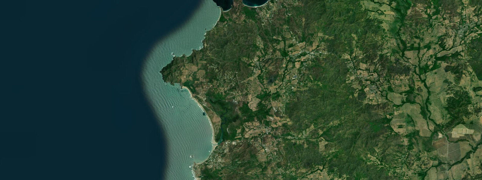
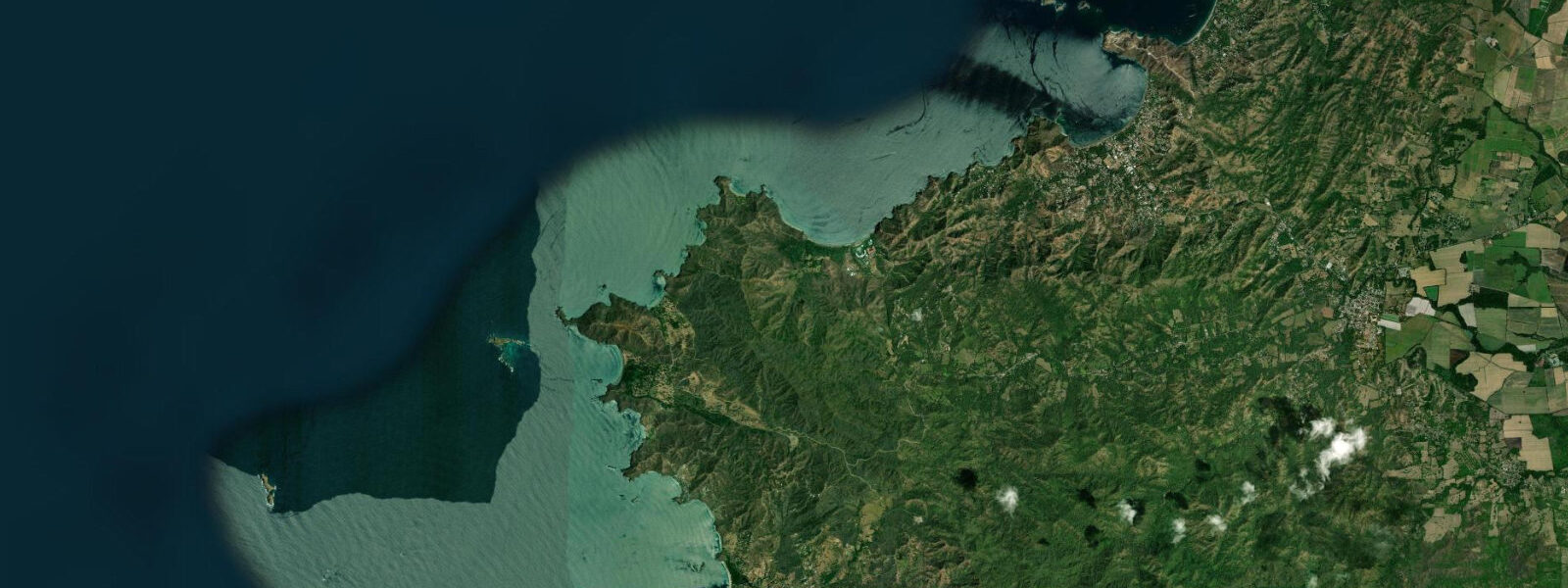
Tamarindo is the most developed tourist beach town on the Nicoya Peninsula, a full-service coastal destination with a working surf beach, a pedestrian commercial strip, and the infrastructure for a week-long stay: supermarkets, pharmacies, surf schools, dive operators, fishing charter boats, and an ATM. The beach is a 2-kilometre arc of tan sand backed by development and the Tamarindo estuary at its southern end. The estuary separates Tamarindo beach from Playa Langosta, the quieter residential beach to the south accessible by wading at low tide or walking the inland road.
The tide range at Tamarindo is mesotidal — spring range 2 to 3 metres. The difference between a low spring tide and a high spring tide is the dominant variable in how the beach presents. At low spring tide, 200 to 250 metres of flat, firm sand is exposed between the dry beach and the waterline; the Tamarindo estuary mouth becomes a shallow crossing point for wading. At high spring tide the water reaches the tree line at the northern section of the beach; there is no dry sand buffer. The surf break character changes significantly between tidal states: low tide exposes the sand banks and can produce hollow, fast sections; high tide closes out the same banks into a heavy shore break. Local surfers check the tide table before selecting a break.
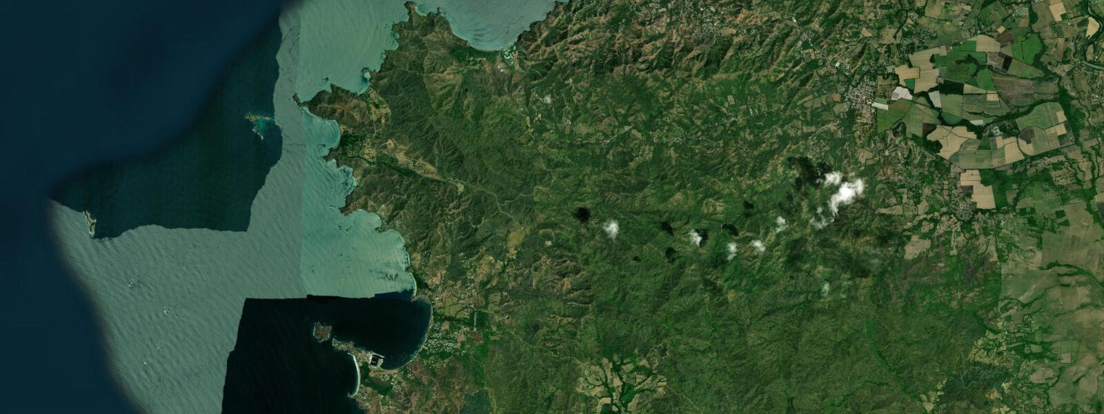
Playa Grande, directly across the estuary from Tamarindo on the opposite headland, is the nesting beach for the Las Baulas National Park leatherback turtle population — the Pacific's most significant nesting site for this species. Nesting season runs October through February; peak activity is November and December. Access to Playa Grande at night during the season requires booking a guided night tour through the park entrance — solo visits to the nesting beach are not permitted. The leatherbacks are large (up to 2 metres, 800 kilograms) and docile during nesting; a guided observation is one of the most significant wildlife encounters available on the Nicoya Peninsula.
The Tamarindo estuary behind the town is mangrove-lined and holds crocodiles — American crocodiles (Crocodylus acutus) are permanent residents in the estuary, visible from the road bridge and the boats that operate wildlife tours. They are not aggressive toward humans who maintain distance, but wading the estuary crossing to Playa Grande requires awareness of the population. Tour guides operating the water-taxi crossing across the estuary to Playa Grande know the crossing point and timing.
Surf conditions at Tamarindo are most consistent from April through October, when the southwest swell season delivers groundswell from the Southern Ocean. The main break at the northern end of the beach, known as El Estero, produces a long-period right-hander when a southwest swell hits on a rising tide against the outgoing estuary current; the configuration is complex and the break fires on a narrower combination of conditions than the more open beach break to the south. Surf schools operate from the southern section of the beach where the break is gentler and more consistent for beginners.
For anglers, offshore fishing from Tamarindo targets Pacific sailfish and marlin from December through April (the upwelling season), yellowfin tuna, dorado (mahi-mahi), and wahoo year-round on the offshore banks. Charter boats from the Tamarindo marina run half-day and full-day offshore trips. Inshore jigging and casting on the rocky reef sections north of the beach produces roosterfish, snook in the estuary at dusk, and jack crevalle on the sand edges at first light.
The town's commercial centre caters to the international surf tourism market. Restaurants range from Tico sodas serving rice-and-beans breakfasts to mid-range international kitchens. The French-Tico bakeries that exist at most Nicoya Peninsula surf towns are here too; the morning croissant-and-coffee routine is a real thing. The tourist season runs December through April (dry season, peak surf); outside the dry season the town quiets and accommodation prices drop significantly.
Tide predictions for Tamarindo come from Open-Meteo Marine, a global gridded ocean model. Accuracy is within plus or minus 45 minutes on timing and 0.2 to 0.3 metres on height. On a 2 to 3 metre spring coast a 45-minute timing error represents substantial beach state difference; check the tide trend on arrival.
Tide questions about Tamarindo, Costa Rica
Quick answers to the most common questions about tide times, range, and water access at Tamarindo, Costa Rica.
What is the tide range at Tamarindo and how does it change the surf?
Tamarindo has a mesotidal range of 2 to 3 metres at spring tides — one of the larger tidal ranges on the Costa Rican Pacific coast. The surf character changes significantly between tidal states. At low tide the sand banks are exposed and the break can be hollow and fast, with defined sections and less water over the shallow sandbar. At high tide the same banks are covered, the break closes out, and the shore break becomes heavier. Most experienced surfers in Tamarindo prefer the mid-rising tide or the mid-falling tide for the best bank shape. Beginners are better served by the flatter conditions at higher water. Tide predictions come from Open-Meteo Marine, accurate within plus or minus 45 minutes on timing and 0.2 to 0.3 metres on height.
How do I arrange a leatherback turtle viewing at Playa Grande?
Leatherback turtle nesting at Playa Grande runs October through February, with peak activity in November and December. The beach is protected within the Las Baulas National Park; access during the nesting season requires a guided night tour booked through the park entrance on the Playa Grande side of the estuary. Bookings open from the late afternoon; spots are limited and fill on busy weekend nights during the peak season. The water-taxi crossing from Tamarindo to Playa Grande takes 5 minutes. Tour duration is typically 2 to 4 hours depending on turtle activity; there is no guarantee of encountering a nesting female, though park guides have decades of knowledge of nesting locations and activity patterns. Red lights only are used on the beach; standard white flashlights are prohibited.
Are there crocodiles in the Tamarindo estuary and is it safe to wade across?
Yes, American crocodiles (Crocodylus acutus) are permanent residents of the Tamarindo estuary. They are regularly visible from the road bridge, from the boat dock, and occasionally on the estuary bank in the early morning. The estuary low-tide crossing to Playa Langosta is a shallow wade of knee to waist depth; the crossing is used routinely by locals and tourists without incident, but awareness of the crocodile population is warranted. The water-taxi service across the estuary to Playa Grande for the turtle tour is preferable to wading that wider channel at any depth. Do not enter the estuary after dark, during or after heavy rain when visibility is zero, or at the deeper sections near the river mouth.
When is the best season for offshore fishing from Tamarindo?
Tamarindo is a significant sport fishing base on the Pacific Nicoya coast. Pacific sailfish and blue marlin concentrate offshore from December through April, coinciding with the dry season and the Papagayo wind upwelling that brings cold, nutrient-rich water to the surface and drives a large baitfish population. Yellowfin tuna, dorado (mahi-mahi), and wahoo are available year-round, with the best numbers from June through October. Inshore roosterfish are targeted on the rocky beaches north of Tamarindo throughout the year; snook hold in the estuary from dusk through dawn and respond to lures cast in the last light before the estuary closes to boat traffic. Charter half-day and full-day trips are bookable through operators in town.
Is Tamarindo suitable for beginner surfers?
Yes. The southern section of Tamarindo beach has a gentle, consistent beach break that is one of the standard learning locations on the Nicoya Peninsula. Multiple surf schools operate from this section with soft-top rental boards and qualified instructors; the take-off zone is over sand, and the lower-energy reform wave 50 to 100 metres inside the main break gives beginners time to stand and practice. The ideal learning conditions are a small to medium swell (0.5 to 1.0 metres) on a mid to high tide when the break is forgiving and the water deeper over the sand. The school operators know the daily conditions and will advise on the best timing; they also monitor for rip currents, which form at the estuary end of the beach during outgoing tide flow.
8-day tide table — Tamarindo, Costa Rica
Heights relative to MSL. Predictions: Open-Meteo Marine (MeteoFrance SMOC, 0.08° grid) — heights relative to MSL (not chart datum / LAT). Model-derived.
| Day | Type | Time | Height |
|---|---|---|---|
| Fri 03 Jul | High | 18:00 | 1.1m |
| Low | 22:43 | -0.5m | |
| Sat 04 Jul | High | 05:00 | 1.4m |
| Low | 11:01 | -0.3m | |
| High | 17:02 | 1.4m | |
| Low | 23:16 | -0.5m | |
| Sun 05 Jul | High | 05:38 | 1.4m |
| Low | 11:41 | -0.3m | |
| High | 17:45 | 1.3m | |
| Low | 23:54 | -0.4m | |
| Mon 06 Jul | High | 06:16 | 1.4m |
| Tue 07 Jul | Low | 00:38 | -0.3m |
| High | 07:03 | 1.4m | |
| Low | 13:17 | -0.2m | |
| High | 19:19 | 1.2m | |
| Wed 08 Jul | Low | 01:23 | -0.3m |
| High | 07:51 | 1.4m | |
| Low | 14:14 | -0.3m | |
| High | 20:15 | 1.1m | |
| Thu 09 Jul | Low | 02:14 | -0.3m |
| High | 08:42 | 1.5m | |
| Low | 15:13 | -0.3m | |
| High | 21:15 | 1.1m | |
| Fri 10 Jul | Low | 03:16 | -0.2m |
| High | 09:45 | 1.5m | |
| Low | 16:17 | -0.3m |