Ladrilleros tide times
Ladrilleros tide forecast — heights relative to MSL.
Today's tide times for Ladrilleros
Tide times at Ladrilleros on Sunday, 21 June 2026: first low tide at 01:47, first high tide at 08:08. Sunrise 06:00, sunset 18:21.
Tide chart for Ladrilleros
24-hour cosine-interpolated curve around the present moment. Heights relative to MSL. Predictions: Predictions: Open-Meteo Marine (MeteoFrance SMOC, 0.08° grid).
Sun, moon and conditions on Sun 21 Jun
Snapshot at build time — refreshes daily. Sea state from Open-Meteo Marine.
Highs and lows next 7 days
Every predicted high and low for the next week, with the daily tidal coefficient (0–120; higher = bigger swing, > 95 means stronger currents).
Other spots nearby
The three closest curated TideTurtle locations to Ladrilleros, measured by great-circle distance.
Today's solunar windows
Solunar tradition: major periods are the ≈3h windows around moon transit and opposition; minor are ≈2h around moonrise and moonset. Pair with the local tide stage and wind for the best read.
Cycle dates near Ladrilleros
Last spring tide on Sat 20 Jun (range 2.8m). Next spring tide on Fri 26 Jun (range 2.1m). Next neap on Thu 25 Jun.
Spring tides cluster around new and full moons (biggest swings). Neap tides land on quarter moons (smallest swings). See the spring tide and neap tide glossary entries for the why.
About tides at Ladrilleros
A short guide to the coastline at Ladrilleros — geography, sea state, and what the tide is actually doing under your feet.
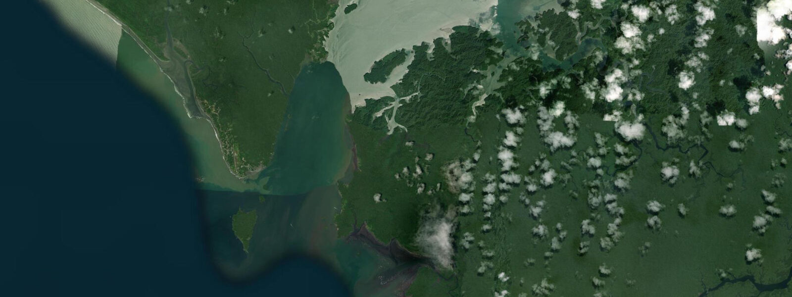
Ladrilleros is 2 km north of Juanchaco on the same open Pacific coast of Valle del Cauca, connected to it by a beach walk at low tide or by lancha. The two villages are often visited together; Ladrilleros is the slightly more sheltered of the two, with its main beach facing slightly more northward into a bay formed by the headland to the north. The whale-watching operations, the beach character, and the accommodation style are broadly similar to Juanchaco; Ladrilleros tends to have marginally quieter waters on the inside bay beach while the exposed outer beach is as full-Pacific as anywhere on this coast.
The tidal regime is macrotidal mixed semidiurnal, spring range 4.0–5.0 m above Chart Datum — the same macrotidal regime as the broader Colombian Pacific coast. At spring low water the beach at Ladrilleros inner bay exposes 150–250 m of sand; the rocky points at the headland base that are submerged at high water become accessible on foot at the predicted low. These intertidal rock platforms carry sea urchins, chitons, and small crabs; the platform is slippery and requires care.
The walk between Ladrilleros and Juanchaco along the beach is possible for roughly three to four hours centred on the predicted low — the section between the two villages involves rounding a rocky point that is submerged at high water. At spring low water the point is exposed 15–20 m and the beach walk is comfortable; on a neap low the passage may be only 5–8 m wide. Always confirm the predicted low time on this page before attempting the beach connection; if the passage is already flooding, wait or take the lancha.
The humpback whale season (July–November) is the peak period at Ladrilleros; boats depart from the beach in the morning for open-water whale watching excursions, returning before the afternoon wind and swell pick up. The Ladrilleros bay also supports juvenile humpback whale sightings closer inshore during peak season — August through October — when mothers with calves sometimes shelter in the more protected bay water.
Shore fishing from the exposed outer beach at Ladrilleros targets corvina and various jacks on the incoming tide. The rocky headland points north and south of the main bay, exposed at low water, are productive positions for long-distance casting into the deep water beyond the rocky shelf. Local fishers work from pangas anchored just outside the surf zone on the incoming tide, hand-lining for pargo (snapper) and dorado on the run-out. DIMAR publishes Colombian Pacific tide tables. Predictions here: Open-Meteo Marine, ±45 min / ±0.2–0.3 m.
Accommodation at Ladrilleros is slightly more established than at Juanchaco — a few more guesthouse options and slightly better generator reliability — but the essential character is the same. The two villages share a co-operative whale-watching association; guides from both villages participate in the tours that operate from either beach. The Colombian Pacific humpback whale monitoring programme (coordinated by WWF Colombia and INVEMAR, the national marine research institute) uses sighting records from both Juanchaco and Ladrilleros guides as part of the long-term population tracking database.
The humpback whale population that breeds off Juanchaco and Ladrilleros is the same South American humpback whale population that feeds in Antarctic waters during the southern summer and migrates north along the Pacific coast of South America each year. Population estimates from the Colombian Pacific suggest 800–1,200 individual humpbacks visit the area between July and November, with the highest concentrations in August–September. This represents a significant fraction of the eastern South Pacific humpback population; the Colombian Pacific breeding ground is one of the primary nursery areas for this population.
Tide questions about Ladrilleros
Quick answers to the most common questions about tide times, range, and water access at Ladrilleros.
Can I walk between Ladrilleros and Juanchaco along the beach?
Yes, but only around low tide. The beach walk between Ladrilleros and Juanchaco requires rounding a rocky point that is submerged at high water. At spring low water the point is exposed 15–20 m and the passage is comfortable. At neap low the passage narrows to 5–8 m. Allow at least 30 minutes from the predicted low on this page as a safe crossing window. If the point is already flooding when you reach it, do not attempt to cross; take the lancha between the villages instead. The walk itself, when the point is clear, takes about 15–20 minutes. If the rocky point is already flooding when you arrive, the water rises at approximately 0.5–0.7 m per hour on a spring tide; do not attempt to wade across.
Where do the tide predictions on this page come from?
Open-Meteo Marine, a free gridded global ocean model. Accuracy is typically ±45 minutes on timing and ±0.2–0.3 m on height. There is no permanent gauge at Ladrilleros; predictions are referenced to the Buenaventura Port station, published by DIMAR (Dirección General Marítima). Timing at Ladrilleros is broadly consistent with Buenaventura; small differences apply due to the open-coast position. For navigation, use DIMAR Colombian Pacific tide tables. This page is not for navigation. DIMAR publishes the Colombian Pacific tide tables referenced to Buenaventura Port; the open-coast position at Ladrilleros means predictions are broadly consistent with Buenaventura with small timing offsets.
What is the difference between Ladrilleros and Juanchaco for whale watching?
Both villages offer humpback whale watching from July through November, and boats from both depart to the same offshore whale areas. Ladrilleros may offer slightly more sheltered inner bay conditions for whale sightings close inshore — mothers with calves sometimes enter the more protected bay water during August–October. Both villages have similar accommodation options and similar prices. Juanchaco's beach is slightly more exposed; Ladrilleros slightly more sheltered. The choice between them is largely practical — availability, cost, and which village your lancha from Buenaventura serves. Both villages are part of the same DIMAR-regulated marine tourism zone; guide certification requirements apply to all whale-watching operators in the area.
Is Ladrilleros suitable for children?
The inner bay beach at Ladrilleros, particularly the section sheltered by the northern headland, is calmer and more suitable for children than the fully exposed outer Pacific beach. At high water the inner bay is chest-to-waist deep for adults within 20 m of the beach. At spring low water the inner bay shallows significantly. There are no lifeguards; water temperature is 25–28°C year-round. Keep children away from the intertidal rock platforms, which are slippery with algae and sea urchins at low water. Sea urchin presence on the intertidal rock platforms at Ladrilleros follows the same pattern as Juanchaco; rubber-soled footwear is essential on the exposed ledges.
What is the sea temperature at Ladrilleros, and why is it warmer than Ecuador?
Sea temperatures at Ladrilleros run 25–28°C year-round. The Colombian Pacific coast sits north of the influence zone of the Humboldt Current cold upwelling, which dominates the Ecuador and Peru coasts to the south and depresses surface temperatures there to 18–22°C. The warm water at Ladrilleros is the reason humpback whales come here to breed and calve; they require warmer water for calves compared to their Antarctic feeding grounds. The temperature difference between Ladrilleros and Montañita in Ecuador (600 km south) can exceed 5°C despite the similar latitude. The temperature contrast between Ladrilleros (25–28°C) and the Humboldt Current zone at Montañita in Ecuador (18–22°C in the same months) is one of the sharpest sea-temperature gradients in the eastern Pacific.
7-day tide table — Ladrilleros
Heights relative to MSL. Predictions: Open-Meteo Marine (MeteoFrance SMOC, 0.08° grid) — heights relative to MSL (not chart datum / LAT). Model-derived.
| Day | Type | Time | Height |
|---|---|---|---|
| Sun 21 Jun | Low | 01:47 | -0.9m |
| High | 08:08 | 1.9m | |
| Mon 22 Jun | Low | 02:40 | -0.7m |
| High | 09:04 | 1.8m | |
| Low | 15:21 | -0.6m | |
| Tue 23 Jun | High | 10:01 | 1.6m |
| Low | 16:22 | -0.5m | |
| High | 22:35 | 1.3m | |
| Wed 24 Jun | Low | 04:35 | -0.4m |
| High | 11:00 | 1.6m | |
| Low | 17:24 | -0.5m | |
| High | 23:38 | 1.3m | |
| Thu 25 Jun | Low | 05:38 | -0.3m |
| High | 11:55 | 1.5m | |
| Low | 18:19 | -0.5m | |
| Fri 26 Jun | High | 00:35 | 1.3m |
| Low | 06:32 | -0.3m | |
| High | 12:47 | 1.5m | |
| Low | 19:15 | -0.6m | |
| Sat 27 Jun | High | 13:37 | 1.6m |
| Low | 18:00 | -0.2m |