Juanchaco tide times
Juanchaco tide forecast — heights relative to MSL.
Today's tide times for Juanchaco
Tide times at Juanchaco on Sunday, 21 June 2026: first low tide at 01:47, first high tide at 08:08. Sunrise 06:00, sunset 18:21.
Tide chart for Juanchaco
24-hour cosine-interpolated curve around the present moment. Heights relative to MSL. Predictions: Predictions: Open-Meteo Marine (MeteoFrance SMOC, 0.08° grid).
Sun, moon and conditions on Sun 21 Jun
Snapshot at build time — refreshes daily. Sea state from Open-Meteo Marine.
Highs and lows next 7 days
Every predicted high and low for the next week, with the daily tidal coefficient (0–120; higher = bigger swing, > 95 means stronger currents).
Other spots nearby
The three closest curated TideTurtle locations to Juanchaco, measured by great-circle distance.
Today's solunar windows
Solunar tradition: major periods are the ≈3h windows around moon transit and opposition; minor are ≈2h around moonrise and moonset. Pair with the local tide stage and wind for the best read.
Cycle dates near Juanchaco
Last spring tide on Sat 20 Jun (range 2.8m). Next spring tide on Fri 26 Jun (range 2.1m). Next neap on Thu 25 Jun.
Spring tides cluster around new and full moons (biggest swings). Neap tides land on quarter moons (smallest swings). See the spring tide and neap tide glossary entries for the why.
About tides at Juanchaco
A short guide to the coastline at Juanchaco — geography, sea state, and what the tide is actually doing under your feet.
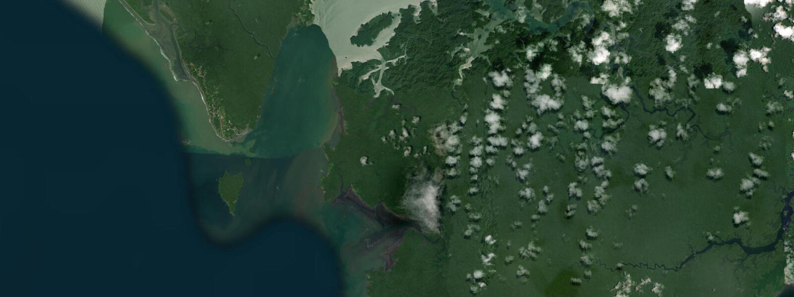
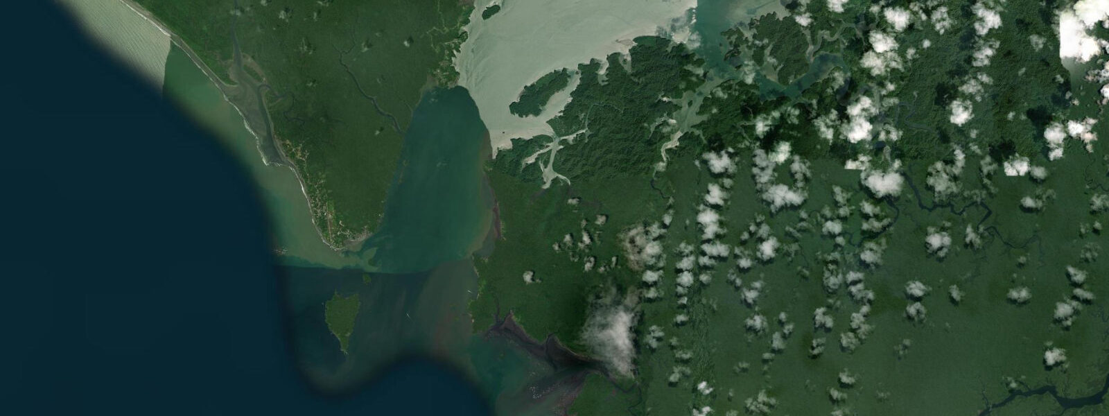
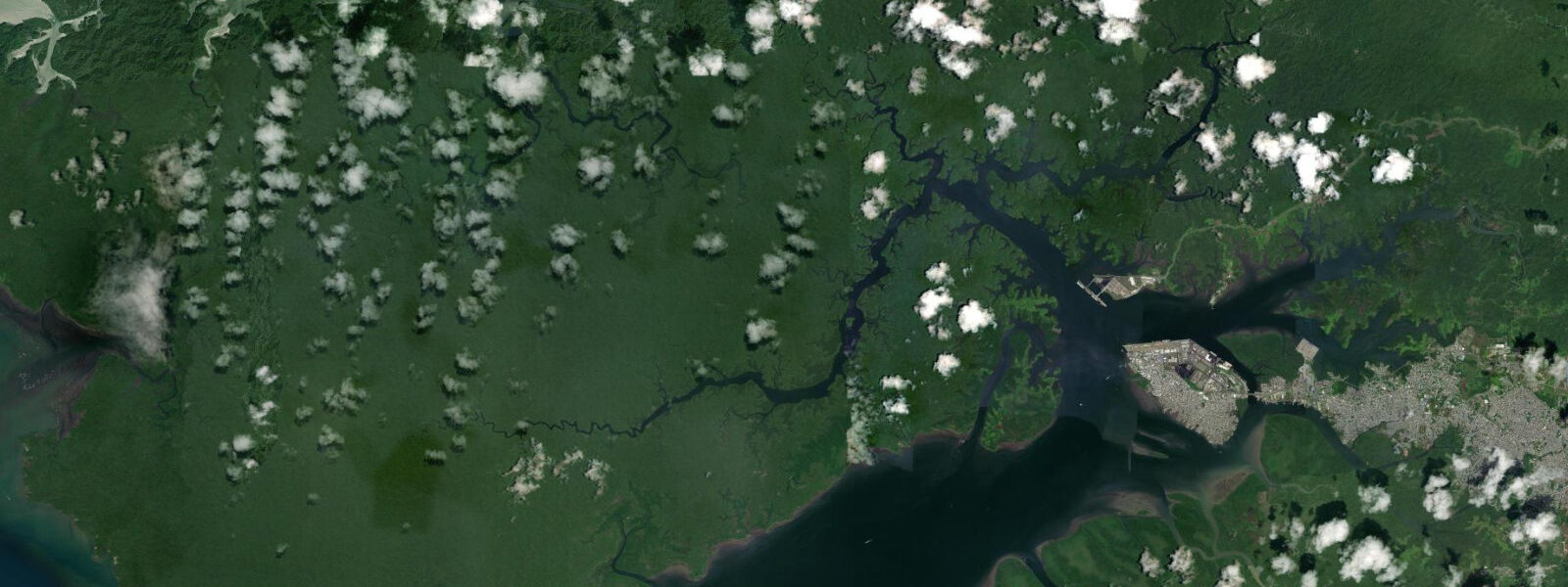
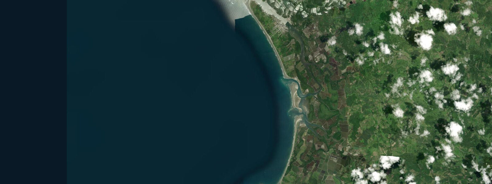
Juanchaco is a small beach village on the open Pacific coast of the Colombian department of Valle del Cauca, accessible only by boat from Buenaventura — a 2–2.5 hour lancha (motorised boat) crossing across Buenaventura Bay and through the outer channels to the open coast. The village sits on a narrow strip of sand backed by Chocó rainforest, facing west-southwest into the full Pacific. There are no roads to Juanchaco; electricity is generator-based; accommodation is simple. This inaccessibility is the defining characteristic: it preserves a raw, genuinely coastal settlement that has not been smoothed by resort infrastructure.
The tidal regime at Juanchaco is macrotidal mixed semidiurnal. Spring range at nearby Buenaventura reaches 4.0–5.0 m above Chart Datum — among the largest tidal ranges on the Pacific coast of South America north of Chile. The Colombian Pacific coast has a pronounced macrotidal character, and the Juanchaco open coast sits within this same high-range regime. Two highs and two lows occur per day with significant diurnal inequality; on some lunar phases one high is 1.0–1.5 m above the other. At spring low water the beach extends substantially seaward of the high-water mark — the full 4.0–5.0 m range translates to 200–300 m of additional beach on the gently sloping sand profile. At spring high water the same beach is narrow, with wave action reaching the vegetation line in some sections.
Juanchaco's primary draw from July through November is humpback whale watching. The warm, shallow waters immediately offshore — held warm by the absence of the cold Humboldt upwelling that dominates the Ecuador and Peru coast to the south — attract humpback whales (Megaptera novaeangliae) from their Antarctic feeding grounds to calve and breed. The concentration of whales in this relatively compact area, combined with the high productivity of the Chocó-Pacific ecological corridor, makes the whale-watching here among the most reliable in the world. Boats depart Juanchaco in the early morning; sightings are independent of tide state but calmer morning sea conditions improve the experience.
The village beach at Juanchaco on the north side is more sheltered than the exposed beach at Ladrilleros, 2 km south; Juanchaco's beach is calmer in the afternoon when the SW sea breeze is less direct. Shore fishing from the beach targets corvina and trevally on the incoming tide. The rocks at the northern end of the Juanchaco beach, exposed at low water, are an accessible intertidal zone for observation. DIMAR (Dirección General Marítima) publishes Colombian Pacific tide tables. Predictions here: Open-Meteo Marine, ±45 min / ±0.2–0.3 m.
The village accommodates visitors in basic family-run hospedajes (guesthouses) and a small number of cabins; there are no hotels in the resort sense. Electricity comes from a communal generator that operates set hours; mobile phone reception is limited. The village economy is split between fishing and whale-watching tourism; the two months of peak whale season (August–September) generate income that supports the rest of the year. Local families have become expert whale-watching guides over two generations of the industry's growth, and the encounters they facilitate from small open boats are characterised by patience and local knowledge that larger operations from Buenaventura cannot replicate.
The Colombia Pacific coast between Buenaventura and the border with Ecuador is one of the least-developed stretches of Pacific coast in South America; the combination of Chocó rainforest, high rainfall (3,000–8,000 mm/year), and limited road access has preserved the natural character. Juanchaco and Ladrilleros represent the most accessible point of this coast from a major Colombian city; the two villages function as the entry points for nature tourism (whale watching, humpback migration, coastal ecology) on a coast that has very few such entry points.
Tide questions about Juanchaco
Quick answers to the most common questions about tide times, range, and water access at Juanchaco.
How do I get to Juanchaco from Buenaventura?
By lancha (motorised fibreglass boat) from the Buenaventura docks. The crossing takes approximately 2–2.5 hours across Buenaventura Bay and through the outer Pacific channels. Multiple operators run daily services; the earliest departures leave Buenaventura around 07:00–08:00. Return services depart Juanchaco in the afternoon (typically 14:00–16:00); confirm the last boat time before arrival, especially if visiting for a day trip. Sea conditions on the crossing can be rough in the afternoon when the Pacific swell and sea breeze are both active. The Buenaventura Muelle Turístico (Tourist Dock) is on the Cascajal Island side; confirm the specific dock location with your accommodation when booking.
When is the whale watching season at Juanchaco?
Humpback whales arrive in the waters off Juanchaco and Ladrilleros from July through November, travelling from Antarctic feeding grounds to breed and calve in the warm shallow Pacific water off the Colombian coast. Peak season is August through October when mothers with calves are most frequently seen. Whale-watching boats depart from Juanchaco beach in the early morning (06:30–08:00) for 3–4 hour excursions. Sightings are not tide-dependent; the whales are found in open water 5–20 km offshore and their presence is driven by water temperature and breeding biology. DIMAR operates under Colombia's Ministry of Defence and publishes Colombian Pacific tide tables on their official website.
Where do the tide predictions on this page come from?
Open-Meteo Marine, a free gridded global ocean model. Accuracy is typically ±45 minutes on timing and ±0.2–0.3 m on height. There is no permanent tide gauge at Juanchaco; predictions are referenced to the Buenaventura Port station, operated by DIMAR (Dirección General Marítima), which publishes official Colombian Pacific tide tables. Timing and height at Juanchaco are broadly consistent with Buenaventura; small differences may apply due to the open-coast position. This page is not for navigation. DIMAR's tide tables for the Colombian Pacific coast are available on their website (dimar.mil.co) and updated annually.
How extreme is the tide at Juanchaco, and what does it look like on the beach?
Spring range at Juanchaco is approximately 4.0–5.0 m above Chart Datum — macrotidal, among the largest ranges on the South American Pacific coast north of Chile. At spring low water the beach extends 200–300 m seaward of the high-water mark; the full sand expanse and the rock outcrops at the beach ends are exposed. At spring high water the beach narrows significantly and wave action can reach the vegetation line. The tide cycle is highly visible at Juanchaco; always note the tide state before walking far down the exposed flat. The spring low at Juanchaco runs approximately 2.5 hours earlier than at Buenaventura Port due to the open-coast position; DIMAR publishes offset corrections.
Is Juanchaco beach safe for swimming?
The Juanchaco beach on the north side of the village is the calmer option, with moderate wave energy and no rip current structures under normal swell conditions. The south-facing sections of the beach are more exposed and can develop rip currents at mid-tide on moderate swell. There are no lifeguards. The water temperature is 25–28°C year-round. During the rainy season (April–June and September–November) river discharge from the Chocó interior can increase turbidity; the water is always tinted green-brown by the dense organic load from the surrounding rainforest. The green-brown water turbidity at Juanchaco is caused by humic acids and dissolved organic matter from the Chocó rainforest; it is not an indicator of poor water quality.
7-day tide table — Juanchaco
Heights relative to MSL. Predictions: Open-Meteo Marine (MeteoFrance SMOC, 0.08° grid) — heights relative to MSL (not chart datum / LAT). Model-derived.
| Day | Type | Time | Height |
|---|---|---|---|
| Sun 21 Jun | Low | 01:47 | -0.9m |
| High | 08:08 | 1.9m | |
| Mon 22 Jun | Low | 02:40 | -0.7m |
| High | 09:03 | 1.8m | |
| Low | 15:19 | -0.6m | |
| Tue 23 Jun | High | 10:01 | 1.6m |
| Low | 16:22 | -0.5m | |
| High | 22:35 | 1.3m | |
| Wed 24 Jun | Low | 04:35 | -0.4m |
| High | 10:58 | 1.5m | |
| Low | 17:24 | -0.5m | |
| High | 23:40 | 1.3m | |
| Thu 25 Jun | Low | 05:38 | -0.3m |
| High | 11:55 | 1.5m | |
| Low | 18:19 | -0.5m | |
| Fri 26 Jun | High | 00:35 | 1.3m |
| Low | 06:32 | -0.3m | |
| High | 12:47 | 1.5m | |
| Low | 19:15 | -0.6m | |
| Sat 27 Jun | High | 01:32 | 1.3m |
| Low | 07:25 | -0.4m | |
| High | 13:37 | 1.6m | |
| Low | 18:00 | -0.2m |