El Rodadero, Colombia tide times
El Rodadero, Colombia tide forecast — heights relative to MSL.
Tide chart for El Rodadero, Colombia
24-hour cosine-interpolated curve around the present moment. Heights relative to MSL. Predictions: Predictions: Open-Meteo Marine (MeteoFrance SMOC, 0.08° grid).
Sun, moon and conditions on Sat 04 Jul
Snapshot at build time — refreshes daily. Sea state from Open-Meteo Marine.
Highs and lows next 7 days
Every predicted high and low for the next week, with the daily tidal coefficient (0–120; higher = bigger swing, > 95 means stronger currents).
Other spots nearby
The three closest curated TideTurtle locations to El Rodadero, Colombia, measured by great-circle distance.
Today's solunar windows
Solunar tradition: major periods are the ≈3h windows around moon transit and opposition; minor are ≈2h around moonrise and moonset. Pair with the local tide stage and wind for the best read.
About tides at El Rodadero, Colombia
A short guide to the coastline at El Rodadero, Colombia — geography, sea state, and what the tide is actually doing under your feet.
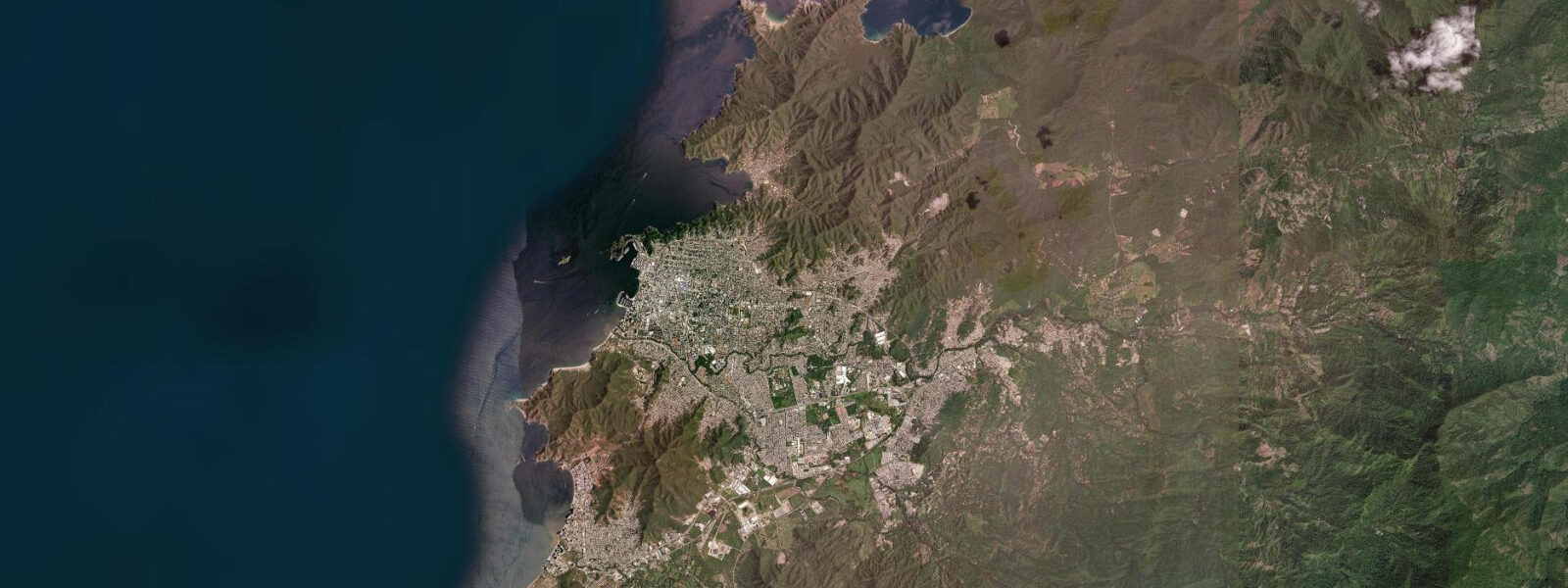
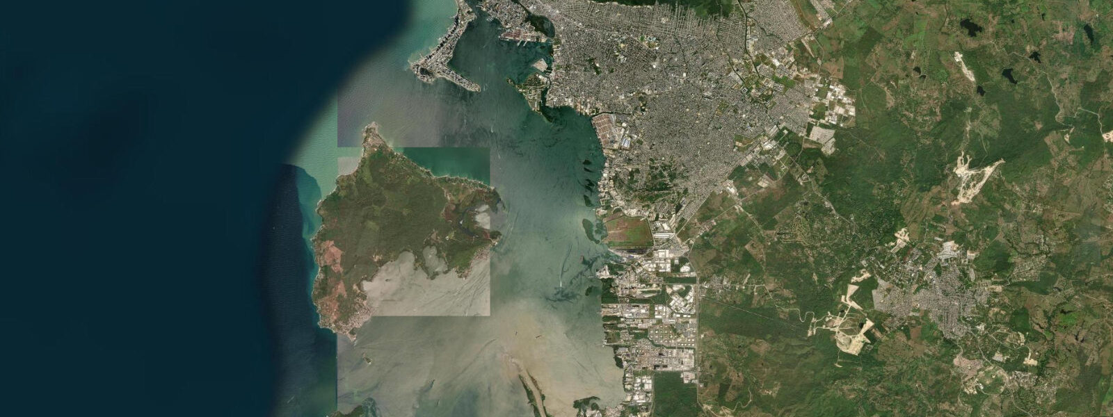
El Rodadero is the beach resort strip 4 km south of Santa Marta's historic centre, occupying the Rodadero Bay between two low rocky headlands. The beach runs 600 m of fine grey-white sand with a gradual slope into calm, sheltered water — sheltered because the bay faces northwest and the northeast trade wind that dominates the Santa Marta coast runs obliquely along the shoreline rather than directly onshore. The strip behind the beach is dense hotel and apartment towers, restaurants, ice cream vendors, and the Rodadero Aquarium.
The tidal pattern is microtidal Caribbean: spring range 25–40 cm, mixed semidiurnal. Open-Meteo Marine provides forecast data — timing accuracy ±45 minutes, height accuracy ±0.2–0.3 m. The small range means the beach width is effectively constant across the tidal cycle, which simplifies planning for beach families. The bay orientation means morning hours are flat and calm; afternoon northeast trades build a moderate chop from 11 am onward.
For beach families, El Rodadero is the most accessible beach in the Santa Marta area. The water is calm and clear in the morning — a 20–30 m visibility snorkel is possible with basic equipment over the rocky reef sections at the northern and southern ends of the bay. The aquarium at the north end of the beach strip runs dolphin shows and holds a collection of Caribbean marine species; it's the main structured children's activity on the waterfront. Lounger hire, fresh coconut, food vendors, and toilet facilities are all present.
Kayakers and stand-up paddleboarders make the crossing from El Rodadero to Isla El Morro, the small rocky island 2 km offshore to the northwest. The crossing is straightforward in the morning calm but the returning southeast crossing against the afternoon trades is significantly harder. The island itself has no facilities but excellent snorkelling around the rock base and a sea bird colony on top.
Anglers working El Rodadero from small boats target the rocky headlands at either end of the bay where snapper and barracuda hold at 8–15 m depth. The most productive window is the incoming tide, two hours before to one hour after the higher high water. Shore fishing from the rocky points is possible at low water when the intertidal platform is exposed. Evening sessions at the northern rocks produce the most consistent bites.
Photographers get clean symmetry from the midpoint of the beach looking back at the hotel towers reflected in the calm morning water — a strong urban-resort composition. The Isla El Morro silhouette against the afternoon sky from the beach, with the Sierra Nevada de Santa Marta's snowcapped peaks visible on clear mornings to the northeast (approximately 5,700 m elevation), is an unusual geographical compression rarely seen in a single frame.
Tide questions about El Rodadero, Colombia
Quick answers to the most common questions about tide times, range, and water access at El Rodadero, Colombia.
What is the water quality like at El Rodadero beach?
El Rodadero Bay is generally clean by Colombian Caribbean standards. The bay benefits from offshore wind direction (northeast trades blowing obliquely rather than onshore) that keeps floating debris moving rather than accumulating on the beach. The Magdalena region's port activities are concentrated in the commercial port north of Santa Marta centre, away from El Rodadero. Sargassum seaweed influxes from the Caribbean circulation affect the beach seasonally (typically May–August), with varying intensity year to year. The municipal beach cleaning service operates daily in the tourist season. Water clarity is typically 5–15 m visibility in the main swimming area, improving to 20–30 m at the rocky headlands.
What tidal range and conditions should paddlers expect at El Rodadero?
Spring tidal range is 25–40 cm — microtidal. Water level change across the tidal cycle is minor and not a planning factor for kayakers or SUP users launching from the beach. The dominant condition variable is the northeast trade wind, which builds from near-calm at 7–9 am to 15–20 knots by early afternoon. Paddlers crossing to Isla El Morro should depart by 9 am and return before noon to avoid the upwind return crossing in the full afternoon trade. Open-Meteo Marine provides tide forecast data with ±45-minute timing and ±0.2–0.3 m height accuracy. The aquarium pier at the north end of the bay provides a sheltered launch point for kayak/SUP equipment.
Can I snorkel directly from El Rodadero beach?
The central sandy section of the beach has water visibility of 5–15 m but not much reef structure directly offshore — mainly sand and occasional small coral heads at 2–4 m depth. The northern headland rocks and the southern headland rocks are more productive for snorkelling: coral formations at 2–8 m depth, snapper, sergeant major, French angelfish, and blue tang are typical sightings. The headland areas are a 10-minute swim from the main beach. Snorkel equipment rental is available from vendors on the beach. Low tide exposes the intertidal zone on the headland rocks but the best snorkelling is at mid to high water when the rocky areas have full cover and the fish are active at depth.
How does El Rodadero compare to Taganga for diving and fishing?
Taganga (5 km north by road) is the dedicated dive and fishing base — purpose-built with multiple PADI schools, a working fishing fleet, and direct boat access to the best dive sites. El Rodadero is a beach resort optimised for families and general tourists rather than dedicated divers or anglers. For diving, take a water taxi or car to Taganga's schools. For casual fishing from a panga, El Rodadero's local boat operators can access the headland reef species effectively. The distinction is between a general-amenity beach (El Rodadero) and a specialist-activity village (Taganga) — both within 15 minutes of each other.
What can I see from El Rodadero on a clear day?
The Sierra Nevada de Santa Marta dominates the northeastern sky on clear mornings — the range rises from the Caribbean coast to 5,700 m within 50 km, making it the world's highest coastal mountain massif. Snow on the twin peaks of Colón and Bolívar (both above 5,600 m) is visible from the El Rodadero beach on clear dry-season mornings (December–March). Isla El Morro sits 2 km offshore to the northwest and is present in the view year-round. The Rodadero Aquarium building and the tower hotels form the urban frame. The clarity of the Sierra Nevada view is a function of humidity — cloud and haze build from April onward and the mountains disappear until the next dry season.
6-day tide table — El Rodadero, Colombia
Heights relative to MSL. Predictions: Open-Meteo Marine (MeteoFrance SMOC, 0.08° grid) — heights relative to MSL (not chart datum / LAT). Model-derived.
| Day | Type | Time | Height |
|---|---|---|---|
| Sat 04 Jul | — | ||
| Sun 05 Jul | High | 02:00 | 0.2m |
| Low | 09:10 | 0.0m | |
| High | 17:00 | 0.2m | |
| Mon 06 Jul | Low | 09:45 | 0.0m |
| High | 17:00 | 0.3m | |
| Tue 07 Jul | Low | 09:50 | 0.0m |
| High | 17:10 | 0.3m | |
| Wed 08 Jul | Low | 10:00 | -0.0m |
| High | 18:10 | 0.3m | |
| Thu 09 Jul | Low | 10:50 | -0.1m |
| High | 19:00 | 0.4m | |