Cartagena de Indias, Colombia tide times
Cartagena de Indias, Colombia tide forecast — heights relative to MSL.
Tide chart for Cartagena de Indias, Colombia
24-hour cosine-interpolated curve around the present moment. Heights relative to MSL. Predictions: Predictions: Open-Meteo Marine (MeteoFrance SMOC, 0.08° grid).
Sun, moon and conditions on Sun 26 Jul
Snapshot at build time — refreshes daily. Sea state from Open-Meteo Marine.
Highs and lows next 7 days
Every predicted high and low for the next week, with the daily tidal coefficient (0–120; higher = bigger swing, > 95 means stronger currents).
Other spots nearby
The three closest curated TideTurtle locations to Cartagena de Indias, Colombia, measured by great-circle distance.
Today's solunar windows
Solunar tradition: major periods are the ≈3h windows around moon transit and opposition; minor are ≈2h around moonrise and moonset. Pair with the local tide stage and wind for the best read.
About tides at Cartagena de Indias, Colombia
A short guide to the coastline at Cartagena de Indias, Colombia — geography, sea state, and what the tide is actually doing under your feet.
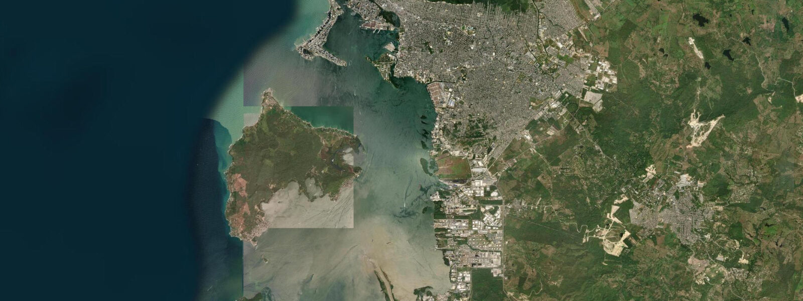
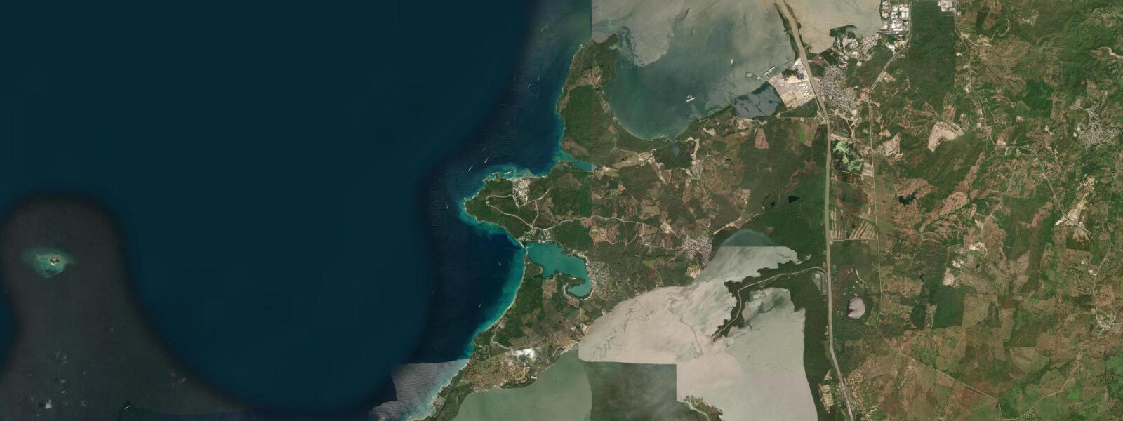
Cartagena de Indias sits on Colombia's central Caribbean coast at about 10 degrees north, the colonial-era walled city and one of the great Spanish-American port towns of the Caribbean basin. The city wraps the long Bahía de Cartagena, an outer bay separated from the open Caribbean by the Tierrabomba and Barú island chain and reached through the Boca Chica entrance at the southern end and the Bocagrande channel at the northern. 6 metres and neaps dropping close to flat.
Two highs and two lows of unequal size each day, with the asymmetry between the higher high and the lower low varying through the lunar month and the equatorial position keeping the seasonal cycle weak. The astronomical signal is small because the Caribbean is an enclosed-but-deep basin and the propagating Atlantic tide enters mostly through the Yucatán Channel and the Greater Antilles passages, with significant phase damping by the time it reaches the South American coast. What matters more on a day-to-day basis is meteorological tide.
The trade winds blow steadily from the north-east across the open Caribbean and lift apparent water level on the windward (eastern) side of the Bahía de Cartagena by 20 to 40 centimetres during sustained events; the same wind builds the swell at La Boquilla east of the walled city. The bay is hot and shallow, with sea-surface temperatures staying between 27 and 30 degrees year-round, and the inner channels run through extensive mangrove systems. The defining hazard is hurricane-season storm surge, though Cartagena sits at the southern edge of the Caribbean hurricane belt and rarely takes a direct strike — most landfalling Caribbean hurricanes track north of about 15 degrees latitude into the Greater Antilles or the Yucatán.
Hurricane Joan in October 1988 was one of the few storms to track directly across the Colombian Caribbean coast at hurricane strength. The defining cultural feature is the colonial-era walled city. The 11-kilometre stone walls and the San Felipe de Barajas fortress above the city were built by the Spanish from the 1580s through the 1700s to defend the gold and silver shipments from Peru that staged through Cartagena to Spain via Havana — the Tierra Firme treasure fleet system that anchored the early-modern Atlantic trade.
The walls front directly onto the harbour at the Baluarte de Santa Catalina and the Baluarte de San Lucas. UNESCO inscribed the walled city and the fortress on the World Heritage list in 1984. The working port behind the walled city, the Bocagrande beach corridor, the ferry to the Rosario Islands offshore, and the snorkellers reading the inner-shelf coral at low water all read the table for different windows.
The Centro de Investigaciones Oceanográficas e Hidrográficas (CIOH) of the Colombian Navy publishes the authoritative tide tables; Open-Meteo Marine drives the gridded predictions on this page.
Tide questions about Cartagena de Indias, Colombia
Quick answers to the most common questions about tide times, range, and water access at Cartagena de Indias, Colombia.
When is the next high tide at Cartagena?
The hero block shows the next high tide at the Cartagena harbour gauge in local Colombia time (COT, UTC-5, no DST). The 7-day table covers all daily highs and lows. The Caribbean micro-tide pattern produces two small highs and two small lows of unequal size each day, but the astronomical signal is small enough that wind and pressure dominate day-to-day water-level variation.
What's the typical tide range at Cartagena?
Mean range at the Cartagena harbour gauge is about 0.4 metres — a small Caribbean South American signal. Spring tides reach close to 0.6 metres and neaps drop close to flat. The trade winds from the north-east lift apparent water level by 20 to 40 centimetres on sustained events, and the bay is hot and shallow with sea-surface temperatures staying between 27 and 30 degrees year-round.
Where do these tide predictions come from?
Open-Meteo Marine, a gridded global ocean model. Useful for planning the Bocagrande beach windows, the Rosario Islands ferry departures, La Boquilla surf timing during trade-wind events, and the snorkel sessions on the inner-shelf coral. For authoritative Colombian tide data, the Centro de Investigaciones Oceanográficas e Hidrográficas (CIOH) of the Colombian Navy publishes the official tide tables and operates the Cartagena reference gauge.
What's the historical significance of the walled city and the colonial-era port?
The 11-kilometre stone walls and the San Felipe de Barajas fortress above the city were built by the Spanish from the 1580s through the 1700s to defend the gold and silver shipments from Peru that staged through Cartagena to Spain via Havana — the Tierra Firme treasure fleet system that anchored the early-modern Atlantic trade. The walls front directly onto the harbour at the Baluarte de Santa Catalina and the Baluarte de San Lucas. UNESCO inscribed the walled city and the fortress on the World Heritage list in 1984. Cartagena sits at the southern edge of the Caribbean hurricane belt and rarely takes a direct hurricane strike, though Hurricane Joan in October 1988 was one of the few storms to track directly across the Colombian Caribbean coast at hurricane strength.
Is this safe to use for navigation?
No. For piloting in or out of the Cartagena harbour, the Boca Chica entrance, or the Bocagrande channel use the Centro de Investigaciones Oceanográficas e Hidrográficas (CIOH) authoritative tide tables, the Sociedad Portuaria Regional de Cartagena pilotage guidance, and the National Hurricane Center storm advisories during the June-to-November Caribbean hurricane season. The shallow bay and the dredged-channel approaches require working pilotage for any commercial transit.
6-day tide table — Cartagena de Indias, Colombia
Heights relative to MSL. Predictions: Open-Meteo Marine (MeteoFrance SMOC, 0.08° grid) — heights relative to MSL (not chart datum / LAT). Model-derived.
| Day | Type | Time | Height |
|---|---|---|---|
| Sun 26 Jul | — | ||
| Mon 27 Jul | — | ||
| Tue 28 Jul | — | ||
| Wed 29 Jul | — | ||
| Thu 30 Jul | — | ||
| Fri 31 Jul | Low | 07:10 | 0.1m |