Santa Marta, Colombia tide times
Santa Marta, Colombia tide forecast — heights relative to MSL.
Tide chart for Santa Marta, Colombia
24-hour cosine-interpolated curve around the present moment. Heights relative to MSL. Predictions: Predictions: Open-Meteo Marine (MeteoFrance SMOC, 0.08° grid).
Sun, moon and conditions on Sat 04 Jul
Snapshot at build time — refreshes daily. Sea state from Open-Meteo Marine.
Highs and lows next 7 days
Every predicted high and low for the next week, with the daily tidal coefficient (0–120; higher = bigger swing, > 95 means stronger currents).
Other spots nearby
The three closest curated TideTurtle locations to Santa Marta, Colombia, measured by great-circle distance.
Today's solunar windows
Solunar tradition: major periods are the ≈3h windows around moon transit and opposition; minor are ≈2h around moonrise and moonset. Pair with the local tide stage and wind for the best read.
About tides at Santa Marta, Colombia
A short guide to the coastline at Santa Marta, Colombia — geography, sea state, and what the tide is actually doing under your feet.
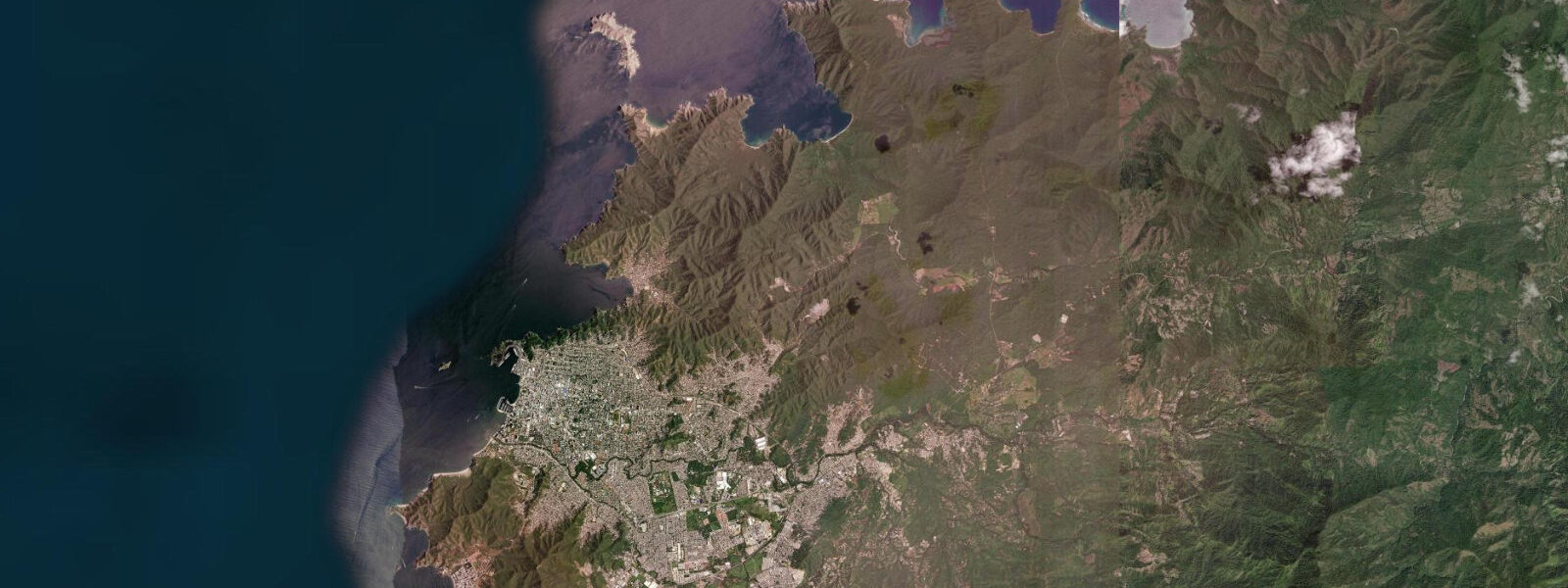
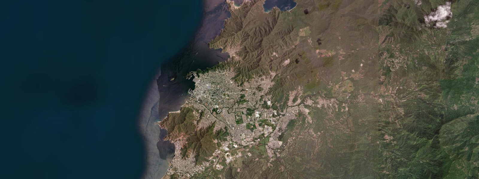
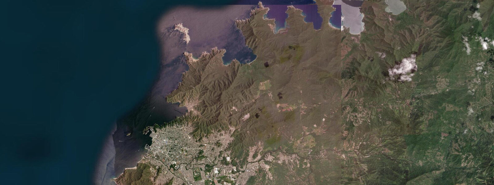
Santa Marta was founded in 1525, making it the oldest surviving city in South America still continuously inhabited. It sits at the base of the Sierra Nevada de Santa Marta — the highest coastal mountain range on Earth, rising from the Caribbean shore to 5,775 m at Picos Simón Bolívar and Cristóbal Colón within 42 km of the beach. On clear mornings, before the coastal haze builds, the glaciated peaks are visible from the city waterfront — an alpine landscape of snow and ice directly above the palm-lined Caribbean.
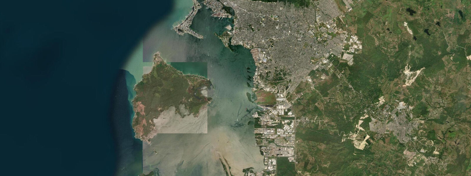
The tidal regime is Caribbean microtidal: spring range 0.3 to 0.5 metres, mixed semidiurnal. Wind setup from the northeast trade, which runs along the Colombian coast at 15 to 25 knots from December through March, dominates water-level variation far more than the astronomical tide. Rodadero Beach, the main city beach 3 km south of the historic centre, is directly exposed to the trade; the beach face flattens in heavy trade conditions and recovers during calm spells. The astronomical tide changes the waterline by only a few metres on the gently sloping beach.
Tayrona National Natural Park begins 30 km northeast of Santa Marta along the Troncal del Caribe highway, and the coast there is among the most dramatic in Colombia: rocky headlands covered in tropical dry forest dropping to pocket beaches with boulder-fringed shores. Playa Cristal, Playa Brava, Cabo San Juan, and Arrecifes are the most-visited beaches within the park. Access requires payment of the park entrance fee (managed by a Kogí indigenous community concession) and either the boat service from the Calabazo docks or a 2-hour walk through the park. Swimming at Arrecifes is prohibited due to strong shore break and rip current; Cabo San Juan and Playa Cristal are the designated swimming zones.
Diving and snorkelling in Tayrona Park is over a reef system that extends below the boulder fields and rocky headlands in 3 to 15 m of water. The reef is not the Caribbean's most developed — coral cover is moderate and sediment from the Magdalena River basin 60 km south occasionally reduces visibility — but the fish diversity is good: large parrotfish, eagle rays on the deeper sections, and the expected Caribbean reef community. Dive operators in Santa Marta run boat trips into the park zone; the park requires permits for dive activities.
The Kogí and Arhuaco indigenous peoples of the Sierra Nevada de Santa Marta maintain their mountain communities and descend periodically to the coastal zone. The archaeological site of Pueblito (Chairama) inside Tayrona Park is a pre-Columbian Tairona settlement reachable by a steep trail — one of the few intact coastal archaeological sites in Colombia with indigenous community stewardship.
Anglers in the Santa Marta area target offshore species in the Caribbean from launches at Rodadero Marina: mahi-mahi, wahoo, and kingfish in the trade-wind current zone east of the city. Inshore, jack crevalle and snapper work the rocky headlands at Punta Betín and the Santa Marta Bay entrance on the incoming tide. Shore casting from the Rodadero Beach rocks in the early morning produces consistent jack in the first two hours of the flood.
Families and city beach visitors use Rodadero Beach directly — urban facilities, beach chair rentals, food kiosks, and calm-enough water on most days. The city's historic centre, on the bay north of Rodadero, has a compact colonial district with a Cathedral (begun 1766), the Simón Bolívar death museum at Quinta de San Pedro Alejandrino 3 km south, and the Gold Museum (Museo del Oro Tairona) displaying pre-Columbian Tairona metalwork. Combined with Tayrona access, Santa Marta is one of the more versatile bases for northern Colombia.
Predictions on this page come from Open-Meteo Marine, a global gridded ocean model. Accuracy is ±45 minutes on timing and ±0.2 to 0.3 metres on height. DIMAR (Dirección General Marítima, Colombian Navy) publishes the authoritative tidal tables for the Colombian Caribbean coast.
Tide questions about Santa Marta, Colombia
Quick answers to the most common questions about tide times, range, and water access at Santa Marta, Colombia.
When is the next high tide at Santa Marta?
The predicted next high tide at Santa Marta is shown at the top of this page in Colombia Standard Time (COT, UTC-5). Spring range is 0.3 to 0.5 metres — microtidal Caribbean. Northeast trade wind setup (December–March) dominates water-level variation at Rodadero Beach. Predictions come from Open-Meteo Marine (gridded, ±45 min / ±0.2–0.3 m); DIMAR (Colombian Navy Maritime Directorate) publishes the authoritative harmonic tables.
How do you access Tayrona National Park from Santa Marta?
Tayrona National Park entrance is 30 km northeast of Santa Marta on the Troncal del Caribe highway. Access by road is to the Zaino or Calabazo entrances; park shuttles and guides are available at the entrance. From Calabazo, a boat service runs to the park's coastal zone near Arrecifes. Entry requires the park fee, managed by an indigenous community concessionaire. Plan 2–3 hours at minimum for the park; overnight camping or ecohospedaje accommodation allows early morning access before day-tripper crowds arrive.
Can you see the Sierra Nevada snow peaks from the beach at Santa Marta?
Yes, on clear mornings before the coastal haze develops — typically before 09:00. The Picos Simón Bolívar and Cristóbal Colón (5,775 m) are visible from the Santa Marta waterfront on low-humidity days, most reliably in the dry season (December–March). The sight of glaciated peaks rising directly above the Caribbean palms is geographically unusual — the Sierra Nevada is the highest coastal mountain range on Earth, and the vertical rise from sea level to summit happens in under 42 km horizontally.
What diving is available near Santa Marta?
Dive sites in the Santa Marta area are concentrated inside Tayrona National Park northeast of the city. The reef below the rocky headlands at Playa Cristal, Chengue, and Cabo San Juan covers 3 to 15 m depth with moderate coral cover and good fish diversity. Dive operators in Santa Marta's El Rodadero marina run morning boat trips. Visibility varies with river runoff from the Magdalena basin — dry season (December–April) gives the clearest conditions. The park requires dive permits; operators handle the paperwork.
Is this safe to use for navigation?
No. TideTurtle is a planning tool, not a nautical almanac. Navigation in Santa Marta Bay, along the Tayrona coast, and on the Colombian Caribbean requires current DIMAR charts (Dirección General Marítima, Colombian Navy). The Tayrona coast has reef hazards and rocky approaches not obvious from the surface; the Santa Marta Bay approaches have commercial shipping traffic. Open-Meteo Marine predictions are not a substitute for authoritative harmonic data for any vessel operation. DIMAR publishes official Colombian nautical publications and tide tables.
6-day tide table — Santa Marta, Colombia
Heights relative to MSL. Predictions: Open-Meteo Marine (MeteoFrance SMOC, 0.08° grid) — heights relative to MSL (not chart datum / LAT). Model-derived.
| Day | Type | Time | Height |
|---|---|---|---|
| Sat 04 Jul | — | ||
| Sun 05 Jul | High | 02:00 | 0.2m |
| Low | 09:10 | 0.0m | |
| High | 17:00 | 0.2m | |
| Mon 06 Jul | Low | 09:45 | 0.0m |
| High | 17:00 | 0.3m | |
| Tue 07 Jul | Low | 09:50 | 0.0m |
| High | 17:10 | 0.3m | |
| Wed 08 Jul | Low | 10:00 | -0.0m |
| High | 18:10 | 0.3m | |
| Thu 09 Jul | Low | 10:50 | -0.1m |
| High | 19:00 | 0.4m | |