Chongming Island, Shanghai tide times
Chongming Island, Shanghai tide forecast — heights relative to MSL.
Today's tide times for Chongming Island, Shanghai
Tide times at Chongming Island, Shanghai on Friday, 19 June 2026: first high tide at 08:00am, first low tide at 09:59am, second high tide at 03:13pm, second low tide at 09:42pm. Sunrise 04:48am, sunset 07:00pm.
Tide chart for Chongming Island, Shanghai
24-hour cosine-interpolated curve around the present moment. Heights relative to MSL. Predictions: Predictions: Open-Meteo Marine (MeteoFrance SMOC, 0.08° grid).
Sun, moon and conditions on Fri 19 Jun
Snapshot at build time — refreshes daily. Sea state from Open-Meteo Marine.
Highs and lows next 7 days
Every predicted high and low for the next week, with the daily tidal coefficient (0–120; higher = bigger swing, > 95 means stronger currents).
Other spots nearby
The three closest curated TideTurtle locations to Chongming Island, Shanghai, measured by great-circle distance.
Today's solunar windows
Solunar tradition: major periods are the ≈3h windows around moon transit and opposition; minor are ≈2h around moonrise and moonset. Pair with the local tide stage and wind for the best read.
Cycle dates near Chongming Island, Shanghai
Last spring tide on Fri 19 Jun (range 2.9m). Next neap on Mon 22 Jun.
Spring tides cluster around new and full moons (biggest swings). Neap tides land on quarter moons (smallest swings). See the spring tide and neap tide glossary entries for the why.
About tides at Chongming Island, Shanghai
A short guide to the coastline at Chongming Island, Shanghai — geography, sea state, and what the tide is actually doing under your feet.
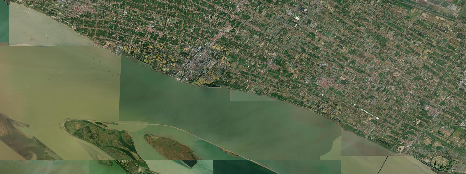
Chongming Island (崇明岛) sits at the mouth of the Yangtze River (长江) where 6,300 km of river current meets the East China Sea — the third-largest island in China, built entirely from sediment the river has been dropping for 1,400 years. The island is still growing, pushing its eastern shoreline seaward year by year as the Yangtze continues its deposit work.
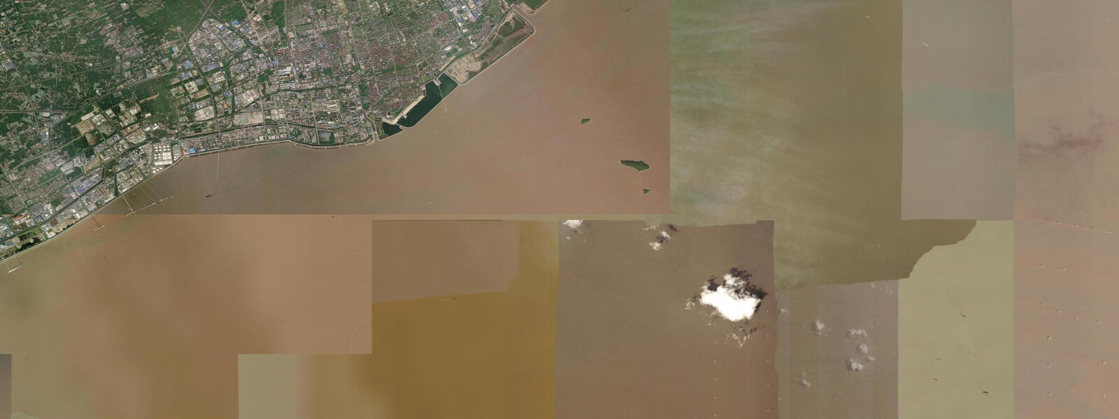
The tidal mechanics here are driven by geometry. The Yangtze mouth is funnel-shaped: wide at the sea, narrowing toward the river channel. Incoming tidal energy has nowhere to go but up, producing a mean spring range of 3.0–4.5 m on Chongming's eastern shore — significantly larger than the open coastal water on either side of the funnel. Two tidal cycles run each day. The flood tide pushes upriver against the Yangtze's current, temporarily slowing both; the ebb drops fast and the tidal flat drains for hours.
At low spring water, the eastern and northern shores of Chongming expose 3–5 km of tidal flat. These aren't dramatic cliffs or rock shelves — they're vast, level expanses of grey-brown mud, scored with drainage channels. For most visitors this looks like emptiness. For migratory shorebirds, it's a fuel depot on one of the world's longest migration routes.
The Chongming Dongtan National Nature Reserve occupies the eastern tip of the island, a Ramsar-listed wetland of international importance. Each spring — peak movement April through May — the flat hosts some of the most endangered shorebirds on the East Asian-Australasian Flyway (EAAF). Spoon-billed sandpiper, a critically endangered species with a global population under 700 individuals, stops here to feed. Bar-tailed godwit arrive on their way north after wintering in Australia and New Zealand. Red knot, great knot, curlew sandpiper, and dunlin also use the eastern flat. The birds are here because the tidal cycle works for them: six hours of exposed flat, six hours of recovery. Miss the tide, miss the feeding window.
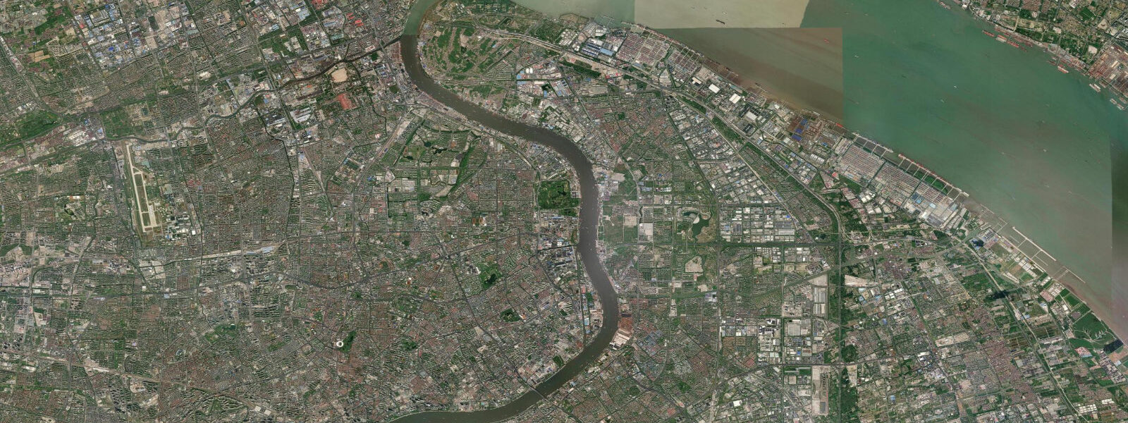
Access to the island changed in 2009 with the opening of the Shanghai Yangtze River Tunnel and Bridge — a combined road crossing that replaced a slow ferry and cut the journey from central Shanghai to under 90 minutes by car. The connection opened Chongming to weekend visitors from the city, though the Dongtan reserve itself has a managed-access model with designated viewing areas to limit disturbance to the flat during peak migration.
For naturalists and wildlife photographers, the eastern tidal flat is the destination. The best light falls in the early morning when the flat is draining — birds concentrated on the remaining water pools, godwits probing the soft mud with their long bills. The spring viewing season overlaps with the widest spring tidal ranges, which expose the most flat and concentrate birds on the receding water edge. A spotting scope is standard kit; the birds work the zone closest to the waterline, often hundreds of metres from the reserve boundary.
The island itself is agricultural and quiet. Farms, orchards, and wetland ponds cover most of the interior. The pace is slower than the Shanghai that's visible across the water on a clear day. There is no surf break at Chongming — the Yangtze's sediment load keeps the water turbid and the bottom flat — but kayakers sometimes paddle the calmer western channels on the river side of the island, where the tidal current is gentler and the industrial traffic from the river gives way to small-boat fishing operations.
Fishing on the flat and adjacent river channels is traditional. Sturgeon fishing is prohibited — the Yangtze finless porpoise and Yangtze sturgeon are both protected — but sea bass, yellow croaker, and hairtail are the target species in season. The tidal current determines where fish hold; returning anglers time their departure from the city to arrive at the flat two hours before the ebb.
Tide data for Chongming Island, Shanghai comes from the Open-Meteo Marine API, a gridded model product. Timing accuracy is ±45 minutes, height accuracy ±0.3 m — usable for trip planning, not for navigation.
Tide questions about Chongming Island, Shanghai
Quick answers to the most common questions about tide times, range, and water access at Chongming Island, Shanghai.
What is the tidal range at Chongming Island and why is it so large?
The mean spring tidal range on Chongming's eastern shore is 3.0–4.5 m, well above what you'd find on open coastal water nearby. The cause is the funnel shape of the Yangtze River mouth: as the tidal wave pushes inland, the narrowing channel compresses the water and amplifies the height. The same physics explain why estuaries and funnel bays globally produce outsized tidal ranges compared to adjacent open coastlines. At neap tides the range drops to around 1.5–2.0 m, with correspondingly less flat exposed.
When is the best time to visit Chongming Dongtan to see shorebirds?
April through May is peak spring migration on the East Asian-Australasian Flyway. This is when species like spoon-billed sandpiper, bar-tailed godwit, and red knot stage on the eastern tidal flat, feeding heavily before continuing north to Arctic breeding grounds. Time your flat visit to arrive two hours before low water on a spring tide — that's when the most mud is exposed and birds concentrate near the receding waterline. Autumn passage (August–September) also brings birds through, though in smaller numbers and with less predictable staging.
How do I get to Chongming Island from central Shanghai?
The fastest route is via the Shanghai Yangtze River Tunnel and Bridge, which opened in 2009 and connects the island to Pudong on the south bank by road. From central Shanghai allow 60–90 minutes by car or bus depending on traffic. Ferry services also operate from the Nanmen terminal in Chongming town connecting to various points on the mainland, though the journey is slower. Once on the island, the Dongtan reserve entrance is at the eastern tip — roughly 40 km from the tunnel exit, another 45 minutes by road.
How far does the tidal flat extend at low spring water on the eastern shore?
At low spring water the flat on Chongming's eastern and northern shores can extend 3–5 km seaward from the high-water line. This is an enormous area of exposed mudflat — one of the largest intertidal zones near any major city in East Asia. The flat is soft alluvial mud deposited by the Yangtze, not hard-packed sand. Walking on it requires careful footing and an exact knowledge of when the tide turns, as the flood can advance faster than it looks from inland.
Is there any kayaking or paddleboard access at Chongming Island?
The western (river-facing) side of Chongming has calmer water than the eastern shore and is used for small-boat fishing and occasional recreational paddling. The tidal current in the main Yangtze channel is strong — 2–3 knots on spring tides — so paddlers should stay in the side channels and inner waterways rather than attempting the main river. The eastern flat is not suitable for paddling at any stage: shallow, turbid, and far from help if conditions change. Conditions on the western channels are most manageable two hours either side of high water.
8-day tide table — Chongming Island, Shanghai
Heights relative to MSL. Predictions: Open-Meteo Marine (MeteoFrance SMOC, 0.08° grid) — heights relative to MSL (not chart datum / LAT). Model-derived.
| Day | Type | Time | Height |
|---|---|---|---|
| Fri 19 Jun | High | 08:00 | -0.5m |
| Low | 09:59 | -1.1m | |
| High | 15:13 | 1.1m | |
| Low | 21:42 | -0.9m | |
| Sat 20 Jun | High | 03:35 | 1.9m |
| Low | 10:37 | -1.1m | |
| Sun 21 Jun | High | 04:24 | 1.8m |
| Low | 11:27 | -0.9m | |
| High | 17:34 | 1.1m | |
| Low | 23:18 | -0.5m | |
| Mon 22 Jun | High | 05:34 | 1.6m |
| Low | 12:01 | -0.8m | |
| High | 18:35 | 1.4m | |
| Tue 23 Jun | Low | 00:13 | -0.2m |
| High | 06:36 | 1.5m | |
| Low | 12:51 | -0.8m | |
| High | 19:36 | 1.4m | |
| Wed 24 Jun | Low | 01:15 | -0.3m |
| High | 07:39 | 1.4m | |
| Low | 13:33 | -0.6m | |
| High | 20:33 | 1.8m | |
| Thu 25 Jun | Low | 02:35 | -0.1m |
| High | 21:17 | 1.9m | |
| Fri 26 Jun | Low | 03:42 | -0.4m |
| High | 07:00 | 0.5m |