Shanghai tide times
Shanghai tide forecast — heights relative to MSL.
Tide chart for Shanghai
24-hour cosine-interpolated curve around the present moment. Heights relative to MSL. Predictions: Predictions: Open-Meteo Marine (MeteoFrance SMOC, 0.08° grid).
Sun, moon and conditions on Wed 29 Jul
Snapshot at build time — refreshes daily. Sea state from Open-Meteo Marine.
Highs and lows next 7 days
Every predicted high and low for the next week, with the daily tidal coefficient (0–120; higher = bigger swing, > 95 means stronger currents).
Other spots nearby
The three closest curated TideTurtle locations to Shanghai, measured by great-circle distance.
Today's solunar windows
Solunar tradition: major periods are the ≈3h windows around moon transit and opposition; minor are ≈2h around moonrise and moonset. Pair with the local tide stage and wind for the best read.
About tides at Shanghai
A short guide to the coastline at Shanghai — geography, sea state, and what the tide is actually doing under your feet.
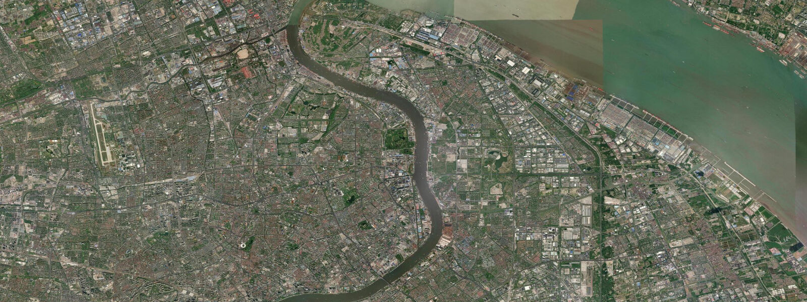
Shanghai sits at the mouth of the Yangtze River delta where the Wusong River meets the tidal flat that became one of the world's great port cities. The Bund stretches along the Huangpu River in Puxi, its colonial-era banking facades facing the Pudong skyline across the water — that three-hundred-metre gap is a tidal channel, and the water in it moves. The Huangpu is not a simple river at this point: it is a tidal estuary, reversing direction twice a day as the flood tide pushes upstream and the ebb draws it back toward Wusong and the Yangtze channel.
5 metres at the river mouth. 0 metres and the change of tide in the Huangpu is visible as a current reversal along the Bund embankment. Neap tides during quarter moons compress the range and slow the estuarine exchange, which matters for the industrial port logistics and the Yangtze delta shipping traffic.
The Wusong gauge at the confluence of the Wusong River and the Huangpu is the primary reference point for the Shanghai tidal system — operated by the China Maritime Safety Administration and the National Marine Data and Information Service (NMDIS), it publishes the authoritative tide tables for the port. Pudong waterfront, the Yangpu Bridge to the north, and the Century Avenue ferry crossing all sit on or over tidal water where the current and height vary predictably through the cycle. For photographers working the Bund at dawn, the light from Pudong reflects best on the rising flood before the commuter traffic builds on the river; for paddlers launching from the inner harbour, the ebb from about two hours after high water runs the Huangpu toward Wusong at close to two knots and is the window to move downriver without fighting the current.
The Yangtze ferry crossings to Chongming Island operate on a fixed schedule but speed over ground changes materially between flood and ebb — full-throttle against the ebb covers the same transit in noticeably more time. Shore anglers along the Huangpu embankment work the change-of-tide window when the current slacks before reversing; the murky estuary water is no cleaner than any large working river, but carp, catfish, and silver carp work the Huangpu up to the inner city reach. The predictions on this page come from Open-Meteo Marine, a gridded global ocean model.
Gridded models estimate tidal height across a geographic grid rather than computing from decades of measured harmonic data at a single gauge. 5 metres on height, depending on bathymetry and model resolution. For commercial shipping, ferry scheduling, or any safety-critical use, the China Maritime Safety Administration and NMDIS are the authoritative sources — not this page.
Tide questions about Shanghai
Quick answers to the most common questions about tide times, range, and water access at Shanghai.
When is the next high tide at Shanghai?
The hero block at the top of this page shows the next high tide at Shanghai with the time in local China Standard Time (CST, UTC+8, no DST) and the height above mean sea level. For the full pattern over the next week, scroll to the 7-day table. Predictions come from Open-Meteo Marine gridded model — useful for planning windows, not for navigation. The Wusong gauge operated by the China Maritime Safety Administration and NMDIS publishes the authoritative Shanghai port tide tables.
What's the typical tide range at Shanghai?
Mean range at the Wusong gauge at the Huangpu-Yangtze confluence is about 2.0 to 2.5 metres — a moderately energetic semidiurnal signal for a large delta estuary. Spring tides around new and full moons push toward 3.0 metres; neap tides during quarter moons compress toward 1.2 metres. The range decreases upriver toward the inner city as the estuary geometry damps the tidal wave.
Where do these tide predictions come from?
Open-Meteo Marine, a free gridded global ocean model. The model estimates tidal height from oceanographic equations applied to a geographic grid rather than from decades of measured harmonic analysis at the Wusong gauge. Accuracy is typically within plus or minus 45 minutes on timing and within roughly 0.5 metres on height. For authoritative Shanghai port tide data, use the China Maritime Safety Administration or the National Marine Data and Information Service (NMDIS).
How do tides affect the Yangtze ferry crossings from Shanghai?
The Yangtze crossings to Chongming Island and the Pudong-Puxi ferries across the Huangpu all operate on fixed departure schedules, but speed over ground and fuel burn change significantly between flood and ebb. The Huangpu current reaches close to two knots at mid-tide on a spring cycle — fast enough that ferry captains and small-boat operators on the river calibrate their crossing angle against the set. The Yangtze main channel current outside the Wusong confluence can run three to four knots on the ebb during peak spring tides, and the Yangtze is classified as a major commercial shipping channel requiring licensed pilotage.
Is this safe to use for navigation?
No. The Huangpu River and Yangtze approach channels are major commercial shipping routes requiring licensed pilotage. For any vessel movement in Shanghai port waters, use the China Maritime Safety Administration authoritative tide tables, the MSA Vessel Traffic Service, and the current NOTMAR advisories. Open-Meteo Marine gridded predictions do not replace gauge-calibrated harmonic data for navigational use.
0-day tide table — Shanghai
Heights relative to MSL. Predictions: Open-Meteo Marine (MeteoFrance SMOC, 0.08° grid) — heights relative to MSL (not chart datum / LAT). Model-derived.
| Day | Type | Time | Height |
|---|