Jinshan, Shanghai tide times
Jinshan, Shanghai tide forecast — heights relative to MSL.
Today's tide times for Jinshan, Shanghai
Tide times at Jinshan, Shanghai on Friday, 19 June 2026: first high tide at 08:00am, first low tide at 09:32am, second high tide at 02:35pm, second low tide at 09:06pm. Sunrise 04:51am, sunset 06:59pm.
Tide chart for Jinshan, Shanghai
24-hour cosine-interpolated curve around the present moment. Heights relative to MSL. Predictions: Predictions: Open-Meteo Marine (MeteoFrance SMOC, 0.08° grid).
Sun, moon and conditions on Fri 19 Jun
Snapshot at build time — refreshes daily. Sea state from Open-Meteo Marine.
Highs and lows next 7 days
Every predicted high and low for the next week, with the daily tidal coefficient (0–120; higher = bigger swing, > 95 means stronger currents).
Other spots nearby
The three closest curated TideTurtle locations to Jinshan, Shanghai, measured by great-circle distance.
Today's solunar windows
Solunar tradition: major periods are the ≈3h windows around moon transit and opposition; minor are ≈2h around moonrise and moonset. Pair with the local tide stage and wind for the best read.
Cycle dates near Jinshan, Shanghai
Last spring tide on Fri 19 Jun (range 4.2m). Next spring tide on Thu 25 Jun (range 3.2m). Next neap on Tue 23 Jun.
Spring tides cluster around new and full moons (biggest swings). Neap tides land on quarter moons (smallest swings). See the spring tide and neap tide glossary entries for the why.
About tides at Jinshan, Shanghai
A short guide to the coastline at Jinshan, Shanghai — geography, sea state, and what the tide is actually doing under your feet.
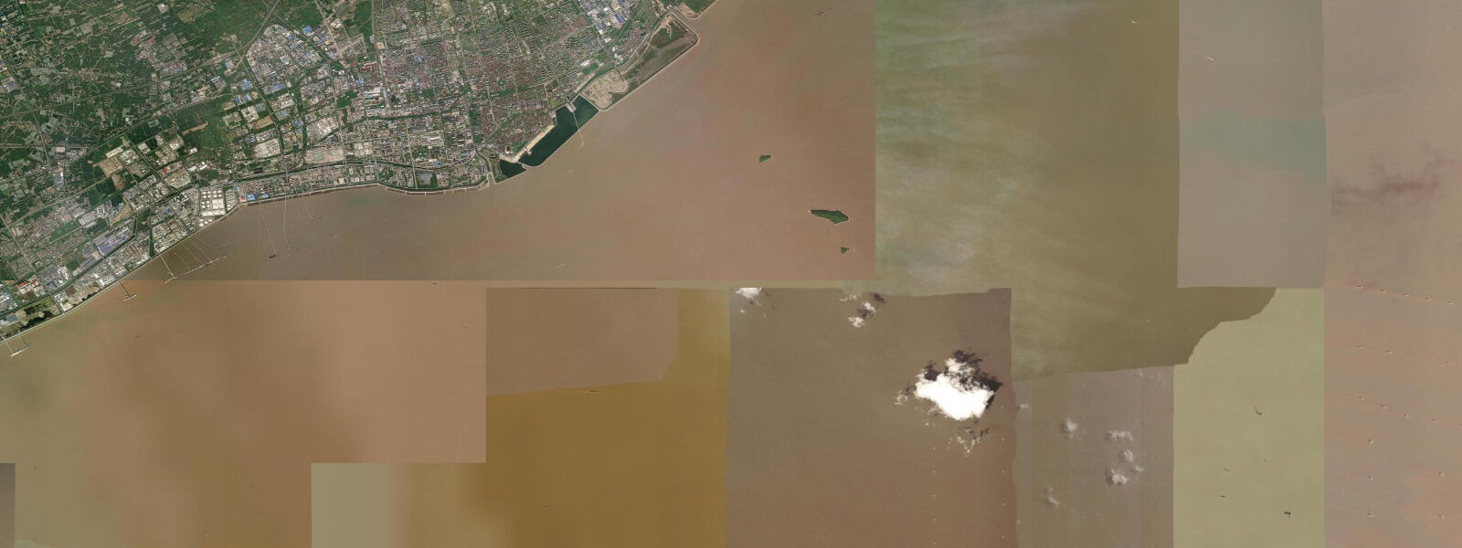
Jinshan District (金山区) is the only part of Shanghai that faces the sea with a real beach. While central Shanghai's waterfront is all river, embankments, and cargo terminals, Jinshan sits on the southern edge of the municipality facing Hangzhou Bay (杭州湾) — and Hangzhou Bay is one of the most tidally extreme bodies of water in China.
The bay is shaped like a funnel, widest at its mouth where it opens to the East China Sea, narrowing sharply as it pushes west toward where the Qiantang River enters at Hangzhou. Tidal energy amplifies as the incoming wave is forced into an ever-tighter space. Mean spring tidal range at Jinshan runs 5.0–7.0 m. That number puts Hangzhou Bay in the same conversation as the Bay of Fundy and the Severn Estuary — places where the tide isn't a minor daily event but a fundamental fact of how the coast operates. Two full tidal cycles per day, each one exposing and recovering 500–800 m of tidal flat measured from the high-water line at Jinshan.
At low spring water the bay floor is a wide, flat expanse of grey tidal mudflat. At high water the sea reaches the sea wall and the beach reappears behind it. The rhythm repeats twice a day, every day, regardless of weather or season.
The Jinshan City Beach (金山城市沙滩) is an artificial beach, built on reclaimed coastline with imported sand — the only proper urban beach in Shanghai. Opened to the public in 2007, it gave China's largest city its first accessible seaside within city limits. The contrast with the Bund's railing-and-pavement waterfront is stark. On summer weekends the beach draws families from across the city: 24 million residents, one beach. Arrive early or mid-week if you want space on the sand. The water quality in the bay is not pristine — Hangzhou Bay receives runoff from a heavily industrialised coastline — but the beach is managed and monitored, and swimming in the designated zone is the norm rather than the exception during summer.
From the beach, looking south, the offshore oil platforms are visible on clear days — active petroleum extraction rigs operating in the bay. The sight of industrial infrastructure framing a family beach tells you something honest about Hangzhou Bay: it is both one of China's most productive marine zones and one of its most used industrial corridors.
Sixty kilometres south, the Qiantang tidal bore (钱塘江大潮) runs on the same hydraulic system that produces Jinshan's extreme tidal range. The bore forms because the bay's funnel geometry creates a tidal wave that reaches the river mouth faster than the river can accommodate it — the result is a breaking wave of tidal water that runs upstream, reaching heights of 1–3 m in the best viewing sections near Haining during the autumn equinox. The bore's timing is predictable from the lunar calendar, and the September–October viewing season draws large crowds to the Haining riverbank. Understanding the bore and understanding the range at Jinshan are the same problem: they're both expressions of the bay's geometry concentrating tidal energy.
For beach families, the practical question is where in the tidal cycle to plan a visit. At high spring water the beach is full — the imported sand is above water, the swimming zone is open, the food vendors along the promenade are active. At low water the flat extends far beyond the normal waterline and beachcombing is possible, but the exposed sediment is not the beach proper. Check the tide before you drive 40 km from central Shanghai: a low-spring-tide arrival at midday gives you flat mud, not sand.
Photographers find the bay compelling at the transition moments — the flood tide returning fast across the flat in the last hour before high water, the offshore platforms silhouetted at dusk, the contrast between the enormous sky and the flat horizon that the funnel-shaped bay opens up. The bay has no strong surf (the flat bottom dissipates wave energy), so photographers can work the waterline without worrying about conditions.
Anglers fish the promenade wall and the adjoining rocky structures for yellow croaker and sea bass. The tidal current through the bay runs hard on spring tides — local anglers weight their rigs accordingly and fish the hour of slack around the tide turns. The bay's high turbidity means lure fishing in clear water isn't the technique here; bait fishing on the bottom through the last hour of ebb is the standard approach.
Tide data for Jinshan, Shanghai comes from the Open-Meteo Marine API, a gridded model product. Timing accuracy is ±45 minutes, height accuracy ±0.3 m — usable for trip planning, not for navigation.
Tide questions about Jinshan, Shanghai
Quick answers to the most common questions about tide times, range, and water access at Jinshan, Shanghai.
Why does Hangzhou Bay have such an extreme tidal range?
Hangzhou Bay is funnel-shaped: roughly 100 km wide at its mouth where it meets the East China Sea, narrowing to around 20 km at the Qiantang River entrance near Hangzhou. As the tidal wave pushes westward into the bay, the narrowing channel has less cross-sectional area to carry the same volume of water, so the surface rises more steeply. This is resonance amplification — similar to what produces large tidal ranges in the Bay of Fundy and the Bristol Channel. Mean spring tidal range at Jinshan is 5.0–7.0 m. The same geometry drives the Qiantang tidal bore 60 km upriver.
Is Jinshan City Beach worth the trip from central Shanghai?
It depends on what you need. Jinshan City Beach is the only proper urban beach in Shanghai — imported sand, a managed swimming zone, promenade food stalls, and a sea horizon rather than a river view. The trip from central Shanghai is roughly 60–70 km by car or 90 minutes by train to Jinshan station plus a taxi. For a beach day with families, it's the only option within the city. Time your arrival for the two hours before high water on a neap tide — the beach has sand, the swimming zone is open, and you avoid the crowds that peak at weekends.
What is the Qiantang tidal bore and how does it relate to Jinshan?
The Qiantang tidal bore (钱塘江大潮) is a breaking wave of tidal water that runs upstream in the Qiantang River, 60 km southwest of Jinshan. It forms because Hangzhou Bay's funnel shape concentrates the incoming tidal wave until it can't be absorbed smoothly at the river mouth — the water breaks and propagates upstream as a bore. The best viewing is at Haining, timed to the autumn equinox when tidal ranges are at their annual maximum. The bore and Jinshan's large tidal range are two outputs of the same system: Hangzhou Bay's geometry amplifying tidal energy from the East China Sea.
How far does the tidal flat extend at low water at Jinshan?
At low spring water the bay floor extends 500–800 m beyond the high-water line at Jinshan. The flat is tidal mudflat — soft, level, and slow to drain. It's walkable with care but the surface is not firm and the flood tide returns faster than it looks from the beach. The practical effect for visitors is significant: a low-spring-tide visit reveals hundreds of metres of exposed bay floor where the beach was, and the actual sand beach only reappears as the tide rises back to its normal daytime position.
When is the best time to fish from Jinshan's waterfront?
Local anglers target the hour before and after low water on spring tides, fishing bait rigs weighted for the strong tidal current. Yellow croaker and sea bass are the primary targets. High turbidity in Hangzhou Bay rules out most lure techniques; bottom fishing with crab or shrimp bait is the standard approach. The promenade wall and the rocky structures adjoining the beach give good position over the deep-channel margin. Avoid the slack at high water — the current drops and so does catch rate. Spring tides (3–4 days after new and full moon) produce the strongest current and, when fished at the turn, the best conditions.
8-day tide table — Jinshan, Shanghai
Heights relative to MSL. Predictions: Open-Meteo Marine (MeteoFrance SMOC, 0.08° grid) — heights relative to MSL (not chart datum / LAT). Model-derived.
| Day | Type | Time | Height |
|---|---|---|---|
| Fri 19 Jun | High | 08:00 | -0.9m |
| Low | 09:32 | -1.3m | |
| High | 14:35 | 1.7m | |
| Low | 21:06 | -1.9m | |
| Sat 20 Jun | High | 03:25 | 2.3m |
| Low | 10:14 | -1.4m | |
| High | 15:39 | 1.5m | |
| Low | 21:47 | -1.3m | |
| Sun 21 Jun | High | 04:10 | 2.4m |
| Low | 11:02 | -1.1m | |
| High | 16:37 | 1.5m | |
| Low | 22:40 | -1.0m | |
| Mon 22 Jun | High | 05:12 | 2.1m |
| Low | 11:54 | -0.9m | |
| High | 17:56 | 1.5m | |
| Low | 23:58 | -0.7m | |
| Tue 23 Jun | High | 06:11 | 1.8m |
| Low | 12:58 | -1.1m | |
| High | 19:18 | 1.3m | |
| Wed 24 Jun | — | ||
| Thu 25 Jun | Low | 14:59 | -1.1m |
| High | 21:27 | 2.0m | |
| Fri 26 Jun | Low | 03:47 | -0.5m |
| High | 07:00 | 0.9m | |