Concepción Bay tide times
Concepción Bay tide forecast — heights relative to MSL.
Today's tide times for Concepción Bay
Tide times at Concepción Bay on Sunday, 21 June 2026: first high tide at 03:36, first low tide at 22:18. Sunrise 08:05, sunset 17:43.
Tide chart for Concepción Bay
24-hour cosine-interpolated curve around the present moment. Heights relative to MSL. Predictions: Predictions: Open-Meteo Marine (MeteoFrance SMOC, 0.08° grid).
Sun, moon and conditions on Sun 21 Jun
Snapshot at build time — refreshes daily. Sea state from Open-Meteo Marine.
Highs and lows next 7 days
Every predicted high and low for the next week, with the daily tidal coefficient (0–120; higher = bigger swing, > 95 means stronger currents).
Other spots nearby
The three closest curated TideTurtle locations to Concepción Bay, measured by great-circle distance.
Today's solunar windows
Solunar tradition: major periods are the ≈3h windows around moon transit and opposition; minor are ≈2h around moonrise and moonset. Pair with the local tide stage and wind for the best read.
Cycle dates near Concepción Bay
Next spring tide on Fri 26 Jun (range 1.1m). Next neap on Mon 22 Jun.
Spring tides cluster around new and full moons (biggest swings). Neap tides land on quarter moons (smallest swings). See the spring tide and neap tide glossary entries for the why.
About tides at Concepción Bay
A short guide to the coastline at Concepción Bay — geography, sea state, and what the tide is actually doing under your feet.
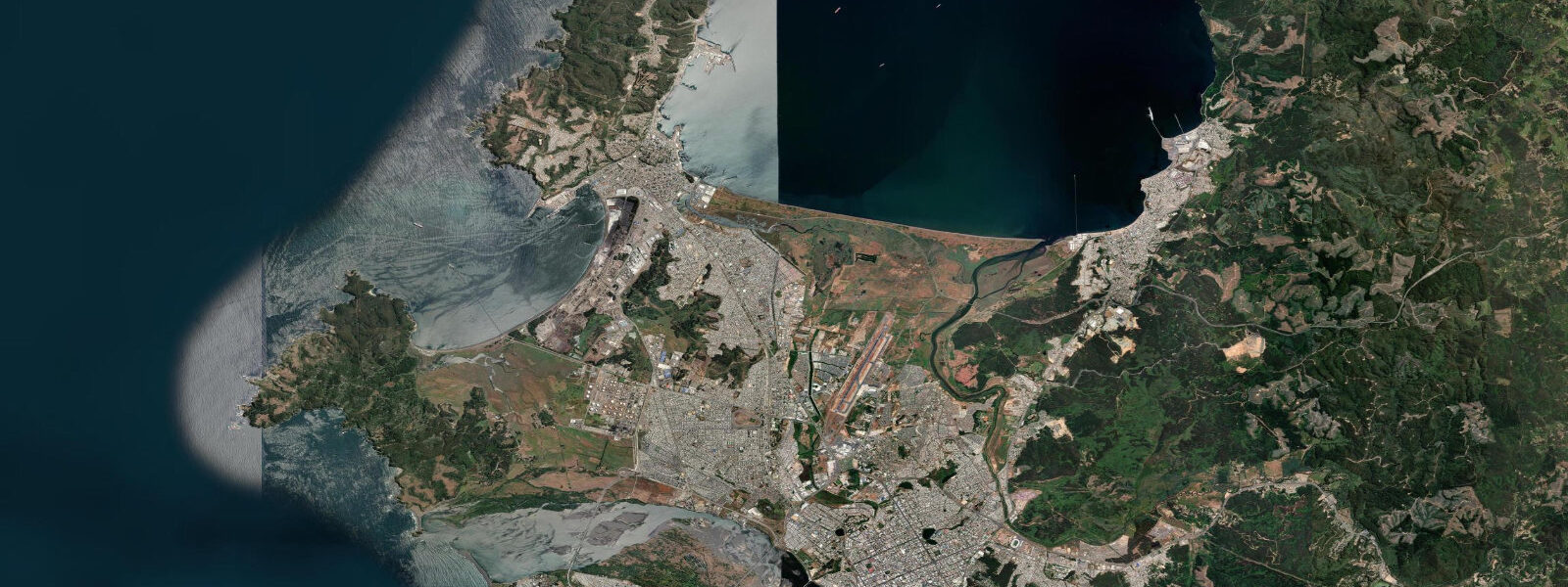
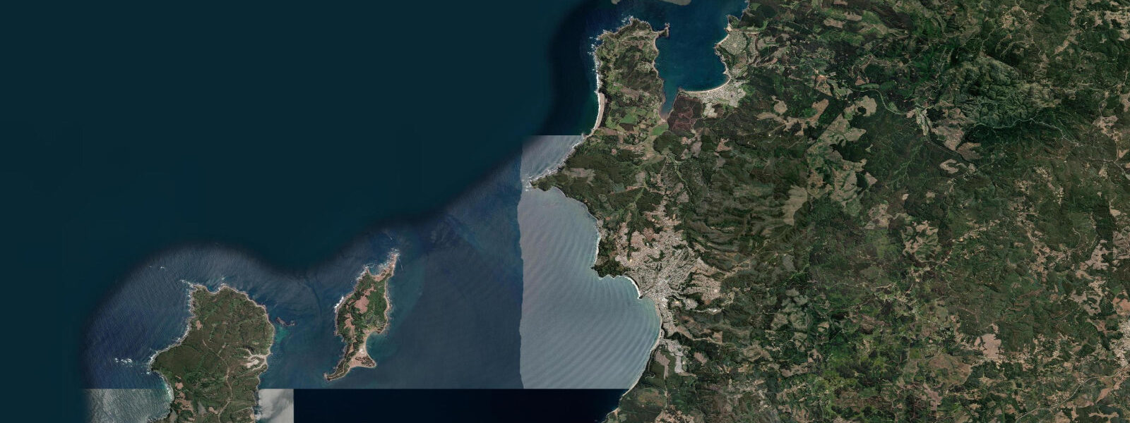
Bahía de Concepción is a large semi-enclosed bay on the central Chilean coast, approximately 500 km south of Santiago. The bay opens broadly to the SW through a 12 km gap between Punta Puchoco in the north and Punta Parra in the south; the cities of Concepción (10 km inland on the Biobío River) and Talcahuano (the port city on the north shore of the bay) form the industrial and commercial heart of the region. Talcahuano is Chile's main naval base and has one of the largest drydock facilities on the Pacific coast of South America.
The tidal regime at Talcahuano is mixed semidiurnal. Spring range is approximately 1.5–2.0 m above Chart Datum; neap range 0.7–1.0 m. Two unequal highs and two unequal lows occur on most days. The bay geometry moderates tidal current in the interior; the main tidal current is concentrated in the entry gap between the two headlands, where springs run 0.5–1.0 knot. Inside the bay the current is weak and the tidal change is the primary driver of depth over the shallow inner banks.
This bay carries geological and historical weight. On 27 February 2010, the Mw 8.8 Chile earthquake ruptured the Nazca-South America subduction zone offshore; the resulting tsunami struck Talcahuano and the bay coast with waves reaching 3–5 m above sea level at some points. The navy base at Talcahuano was inundated; the 19th-century battleship Huáscar, a museum vessel moored at the naval base, was partially floated and displaced by the tsunami wave. The rebuilt waterfront is substantially different from its pre-2010 form, with new port facilities and modified shoreline.
The inner bay at Concepción is used for recreational sailing, kayaking, and small-boat fishing. The Laguna Grande and Laguna Chica in the Concepción urban area are freshwater lakes; the bay itself is saltwater with the Biobío River delivering significant freshwater discharge particularly in winter (June–August) when river levels are highest. The bay water is naturally turbid near the Biobío mouth; clarity increases toward the open southern bay and the Arauco shore.
Shore fishing along the Talcahuano coast and the Dichato beaches targets congrio (Genypterus chilensis), corvina (Cilus gilberti), and lenguado (Paralichthys adspersus) on the incoming tide. The rocky points of the Arauco Peninsula, 30 km south, produce better results for pelagic species. SHOA publishes Chilean tide tables; Talcahuano is a primary reference gauge station. Predictions here: Open-Meteo Marine, ±45 min / ±0.2–0.3 m.
Talcahuano's Naval Museum houses the restored ironclad Huáscar — a significant vessel in South American naval history, captured from Peru in the 1879 War of the Pacific and used by the Chilean navy for decades afterward. The Huáscar was partially floated during the 2010 tsunami and remains the most vivid local reminder of the event's impact on the naval base. The museum is on the Talcahuano harbour side, accessible from the main road; visiting the ship gives a direct sense of the waterline environment and what a 3–4 m surge means in relation to a vessel's freeboard.
The University of Concepción, one of Chile's major research universities, has a strong oceanography department that has conducted long-term research on Biobío Bay hydrography, including post-2010 tsunami surveys and ongoing sea-level monitoring. The university's data contributes to Chilean and international coastal monitoring programmes. The city of Concepción is 10 km inland on the Biobío River; the river's contribution to bay circulation and sedimentation is actively studied by the university research group. The naval museum and the rebuilt port area together give Talcahuano a distinct industrial-maritime character that sets it apart from Concepción's inland university city identity. The Biobío estuary and the bay's hinterland have supported human settlement for thousands of years; the Mapuche coastal communities of the Biobío coast maintained fishing and trading relationships across the bay long before the Spanish colonial ports were established.
Tide questions about Concepción Bay
Quick answers to the most common questions about tide times, range, and water access at Concepción Bay.
What is the tidal regime at Concepción Bay?
Mixed semidiurnal: two unequal highs and two unequal lows per day. Spring range at Talcahuano is approximately 1.5–2.0 m above Chart Datum; neap range 0.7–1.0 m. The main tidal current is at the bay entrance between Punta Puchoco and Punta Parra, where springs reach 0.5–1.0 knot. Inside the bay, tidal current is weak; depth change rather than current is the primary tidal consideration for small-boat navigation on the inner shallows. Spring range at Talcahuano is approximately 1.8 m; neap range drops to around 0.7 m.
What happened to Concepción Bay in the 2010 earthquake and tsunami?
The Mw 8.8 Chile earthquake of 27 February 2010 generated a tsunami that struck Talcahuano and the Concepción Bay coast with waves reaching 3–5 m above mean sea level. The Talcahuano naval base was inundated; the museum battleship Huáscar, moored at the base, was displaced by the tsunami. The city of Dichato to the north was largely destroyed. The rebuilt port and waterfront infrastructure incorporates tsunami-evacuation signage and vertical evacuation structures. SHOA operates the Pacific-wide tsunami warning centre from Valparaíso. SHOA's tsunami warning centre at Valparaíso monitors seismic activity and sea level in real time; the 2010 event led to significant upgrades in the warning system's speed.
Where do the tide predictions on this page come from?
Open-Meteo Marine, a free gridded global ocean model. Accuracy is typically ±45 minutes on timing and ±0.2–0.3 m on height. SHOA (Servicio Hidrográfico y Oceanográfico de la Armada de Chile) operates the official tide gauge at Talcahuano, which is the primary reference station for the Concepción Bay area. For navigation in Talcahuano Port, use SHOA data. This page is not for navigation. SHOA publishes the Talcahuano tide tables with predicted high and low water times and heights; the Talcahuano gauge is one of the longest continuous sea-level records in South America.
Is Concepción Bay suitable for recreational kayaking?
The inner bay, particularly the area between Talcahuano and the Biobío river mouth, is sheltered enough for recreational kayaking in calm conditions. Spring tidal current in the bay interior is low (under 0.5 knots); the main hazards are commercial ship traffic in the Talcahuano port approaches and the strong tidal current in the bay entrance gap. The clearest water for paddling is on the southern bay shore away from the Biobío discharge. Afternoon W-SW winds build across the bay from around 13:00 year-round; plan morning paddles and return before midday. Morning kayak sessions before 09:00 avoid the sea breeze and give the best visibility in the inner bay.
When is the best time to fish from the Talcahuano coast?
Shore fishing along the Talcahuano rocky coast targets congrio (cusk eel), corvina, and lenguado from the rocky points and rocky beaches on the incoming tide. The most productive window is generally from one hour after the predicted low through to two hours before the predicted high — a three-to-four hour window of flooding water when predatory fish move over the rocky shelf. The Arauco Peninsula, 30 km south, is the preferred destination for experienced coastal anglers targeting congrio and larger corvina; the rocky headlands there concentrate current and bait. The Arauco Peninsula rocky points south of Concepción Bay are best accessed by car from Arauco town, approximately 45 km south of Concepción.
7-day tide table — Concepción Bay
Heights relative to MSL. Predictions: Open-Meteo Marine (MeteoFrance SMOC, 0.08° grid) — heights relative to MSL (not chart datum / LAT). Model-derived.
| Day | Type | Time | Height |
|---|---|---|---|
| Sun 21 Jun | High | 03:36 | 0.3m |
| Low | 22:18 | -0.6m | |
| Mon 22 Jun | High | 04:37 | 0.3m |
| Low | 23:06 | -0.6m | |
| Tue 23 Jun | High | 05:37 | 0.3m |
| Low | 23:50 | -0.5m | |
| Wed 24 Jun | High | 06:36 | 0.4m |
| Low | 13:04 | -0.3m | |
| High | 18:45 | 0.1m | |
| Thu 25 Jun | Low | 00:36 | -0.4m |
| High | 07:24 | 0.5m | |
| Low | 14:07 | -0.4m | |
| High | 19:45 | 0.1m | |
| Fri 26 Jun | Low | 01:23 | -0.4m |
| High | 08:08 | 0.5m | |
| Sat 27 Jun | Low | 02:10 | -0.5m |
| High | 08:50 | 0.4m | |
| Low | 15:36 | -0.7m | |
| High | 19:00 | -0.3m |