Punta Arenas (Biobío) tide times
Punta Arenas (Biobío) tide forecast — heights relative to MSL.
Today's tide times for Punta Arenas (Biobío)
Tide times at Punta Arenas (Biobío) on Sunday, 21 June 2026: first high tide at 03:36, first low tide at 22:19. Sunrise 08:07, sunset 17:44.
Tide chart for Punta Arenas (Biobío)
24-hour cosine-interpolated curve around the present moment. Heights relative to MSL. Predictions: Predictions: Open-Meteo Marine (MeteoFrance SMOC, 0.08° grid).
Sun, moon and conditions on Sun 21 Jun
Snapshot at build time — refreshes daily. Sea state from Open-Meteo Marine.
Highs and lows next 7 days
Every predicted high and low for the next week, with the daily tidal coefficient (0–120; higher = bigger swing, > 95 means stronger currents).
Other spots nearby
The three closest curated TideTurtle locations to Punta Arenas (Biobío), measured by great-circle distance.
Today's solunar windows
Solunar tradition: major periods are the ≈3h windows around moon transit and opposition; minor are ≈2h around moonrise and moonset. Pair with the local tide stage and wind for the best read.
Cycle dates near Punta Arenas (Biobío)
Next spring tide on Fri 26 Jun (range 1.1m). Next neap on Wed 24 Jun.
Spring tides cluster around new and full moons (biggest swings). Neap tides land on quarter moons (smallest swings). See the spring tide and neap tide glossary entries for the why.
About tides at Punta Arenas (Biobío)
A short guide to the coastline at Punta Arenas (Biobío) — geography, sea state, and what the tide is actually doing under your feet.
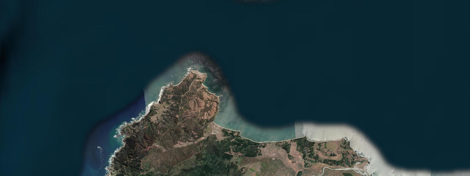
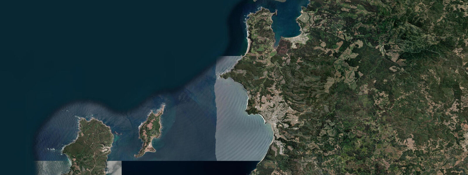
Punta Arenas in the Biobío Region — not to be confused with the far southern city of the same name in Magallanes — is a small coastal point on the western shore of the Arauco Peninsula, roughly 60 km SW of Concepción. The point is a rocky headland that projects into the Bay of Arauco; the surrounding area is one of the most productive coastal fishing zones in central Chile. The name refers to the sandy beach immediately north of the headland, not to the rocky point itself.
The tidal regime here is mixed semidiurnal, spring range approximately 1.5–2.0 m above Chart Datum — consistent with the broader Biobío coast. The Bay of Arauco to the south is a significant geographic feature: the bay is semi-enclosed by the Arauco Peninsula to the west and the Concepción coast to the north, and it focuses incoming South Pacific swell from the SW. Swell energy concentrating into the Bay of Arauco is the same mechanism that produced the elevated 2010 tsunami run-ups at some points on the Arauco Peninsula shore.
The rocky intertidal and subtidal zone at Punta Arenas (Biobío) is one of the richest fishing grounds on the Chilean central coast. Congrio (Genypterus chilensis), the prized cusk eel, inhabits the rocky reef at 5–30 m depth and is the target of both commercial and artisanal fishing from this coast. Shore fishing for congrio from the headland rocks requires long casts to reach the deeper reef zones; the productive window is the incoming tide from one hour after the predicted low through to two hours before the high, when the current sweeps bait along the reef edges. Corvina (Cilus gilberti) are also abundant in this area and respond more strongly to the tide state — large corvina tend to follow the bait over the rocky shelf on the flood.
The kelp beds (Macrocystis pyrifera) off the Arauco Peninsula rocky coast are the basis of a commercial kelp harvest used in food and cosmetics manufacturing; the kelp industry operates from several small ports along the Arauco coast. Drying racks for harvested kelp are visible along the coastal road from Concepción through the Arauco Peninsula.
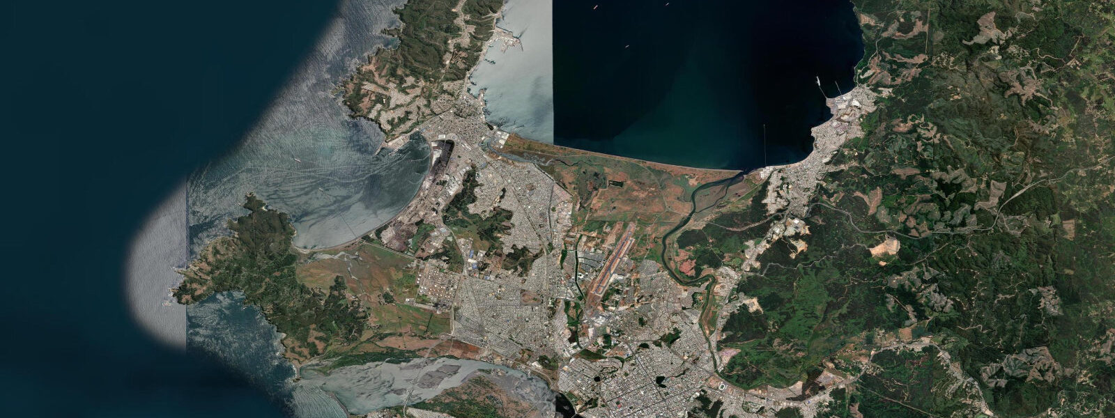
The coastal road from Concepción south through Penco, Lota, and Arauco to Cañete passes Punta Arenas (Biobío) as part of the Ruta de la Costa Biobío, a designated coastal scenic route. The headland gives clear views over the Bay of Arauco and south to the Arauco Peninsula. SHOA publishes Chilean tide tables with Talcahuano as the regional reference station. Predictions here: Open-Meteo Marine, ±45 min / ±0.2–0.3 m.
The Ruta de la Costa Biobío (Coastal Route Biobío) is the regional government's designation for the road connecting Concepción south through Penco, Lota, and Arauco to Cañete and Lebu. The Punta Arenas headland is one of the viewpoints on this route; the road above the headland gives clear views SW over the Bay of Arauco and the approach to the open Pacific. The Arauco Peninsula is also the site of one of Chile's major coal and industrial heritage areas — Lota's underground coal mine (Chiflón del Diablo, now a museum) extends beneath the Bay of Arauco.
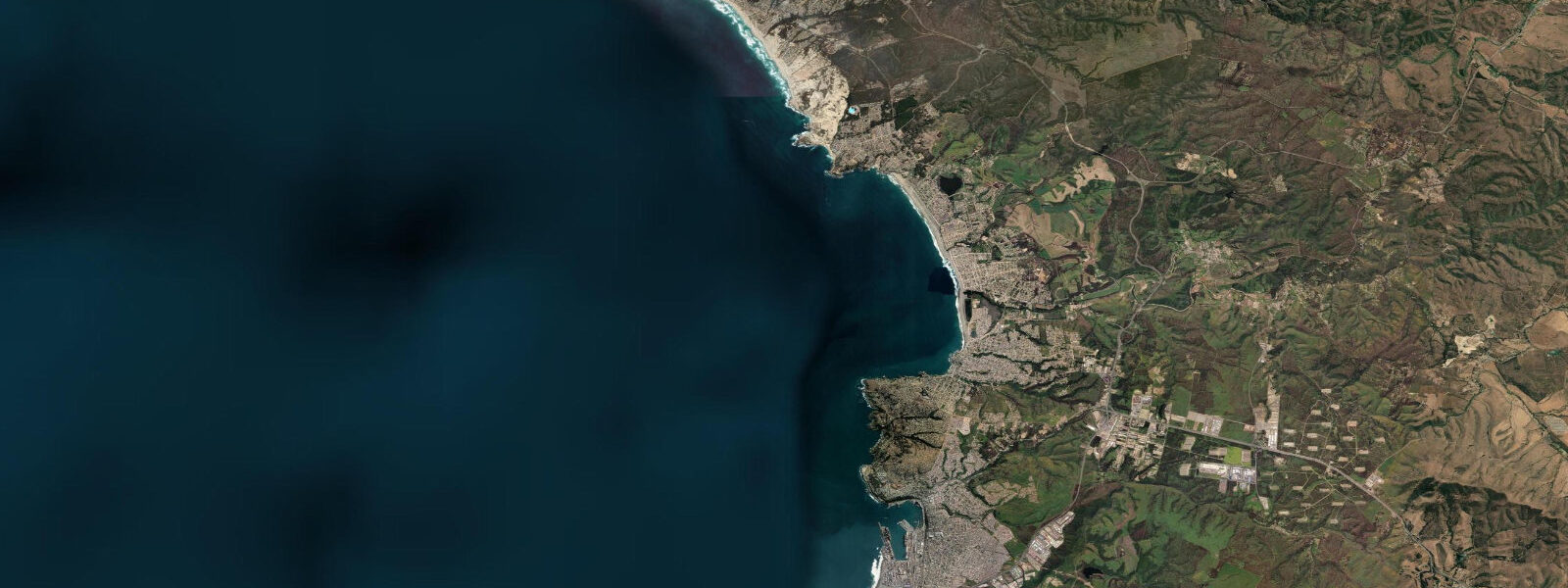
The Arauco Peninsula's coastal road (partially sealed) continues south from the Punta Arenas headland to Arauco town and then southeast toward the Tirúa and Cañete coast, where the Pacific-facing beaches produce consistent surf. The coastal scenery from the road south of the Punta Arenas headland includes views of the open Bay of Arauco with the Biobío headlands on the far shore; the same bay that amplified the 2010 tsunami energy also focuses the SW groundswell that makes the south Arauco Peninsula consistently surfable.
Tide questions about Punta Arenas (Biobío)
Quick answers to the most common questions about tide times, range, and water access at Punta Arenas (Biobío).
Is this the same Punta Arenas as the city in Patagonia?
No. This Punta Arenas is a small coastal headland on the Arauco Peninsula in the Biobío Region, approximately 60 km SW of Concepción. The famous Punta Arenas city is roughly 2,100 km to the south in Magallanes Region, on the Strait of Magellan. The Biobío headland shares only the name — the site descriptor '(Biobío)' distinguishes it. Both are on the coast; beyond that, the geography and tidal regimes are entirely different. The Biobío Punta Arenas headland coordinates (37.1026°S, 73.4829°W) distinguish it clearly from Punta Arenas city (53.1638°S, 70.9171°W) in any navigation system.
Where do the tide predictions on this page come from?
Open-Meteo Marine, a free gridded global ocean model. Accuracy is typically ±45 minutes on timing and ±0.2–0.3 m on height. SHOA (Servicio Hidrográfico y Oceanográfico de la Armada de Chile) publishes official Chilean tide tables; Talcahuano is the nearest reference station for the Biobío coast. For navigation in the Bay of Arauco, use SHOA data. This page is not for navigation. SHOA's Talcahuano gauge is approximately 50 km NE of Punta Arenas (Biobío); timing at the headland typically runs 5–10 minutes behind the Talcahuano prediction.
What makes the Arauco Peninsula coast good for shore fishing?
The Bay of Arauco focuses South Pacific swell energy into a semi-enclosed bay, creating productive mixing on the reef edges. The rocky headlands of the Arauco Peninsula project into deep water; fish like congrio (cusk eel) and corvina inhabit the reef at 5–30 m depth and move over the shallower reef shelf on the incoming tide. This concentration of deep and shallow habitat in close proximity makes the headland rocks accessible to shore casters while still reaching productive depths. The incoming tide window — from one hour after the predicted low to two hours before the predicted high — is the most consistent shore-fishing period. The concentration of congrio habitat (rocky reef at 5–30 m) immediately adjacent to shore-reachable casting distance is the defining feature of the Arauco Peninsula for shore anglers.
What is congrio, and how is it targeted here?
Congrio (Genypterus chilensis) is a cusk eel — an eel-like fish in the family Ophidiidae — prized in Chilean coastal cuisine. It inhabits rocky reef at 5–30 m depth and is a dominant species on the central Chilean Pacific coast. Shore fishing for congrio from the Punta Arenas rocks uses natural bait (squid, cut fish) on weighted rigs cast to the reef edge; the incoming tide is the preferred window when congrio move up the reef slope to feed. Commercial congrio fishing uses traps (nasas) deployed by small boats; artisanal trap fishing from Arauco Peninsula ports is a traditional livelihood for the local fishing community. Congrio (Genypterus chilensis) is the highest-value inshore species in the Chilean central coast recreational and artisanal fishery; the Arauco Peninsula is specifically recognised in Chilean fisheries management for its congrio habitat.
Is the 2010 tsunami a hazard consideration for visiting this coast?
The Arauco Peninsula coast was within the impact zone of the 2010 Mw 8.8 Chile earthquake tsunami. Run-up heights varied along the coast; the Bay of Arauco's geometry focused energy at certain points, and some Arauco Peninsula locations saw higher run-ups than the Concepción bay shore. SHOA's tsunami warning system now provides 15–20 minute notice of confirmed tsunamigenic earthquakes in the subduction zone. Tsunami evacuation signs and routes are posted throughout the Biobío coastal communities; if a major earthquake (lasting more than 30 seconds and strong enough to make standing difficult) is felt, move immediately to high ground without waiting for an official warning. SHOA's 'DART' network of deep-sea tsunami buoys offshore from the Biobío coast forms part of the Pacific Tsunami Warning System.
7-day tide table — Punta Arenas (Biobío)
Heights relative to MSL. Predictions: Open-Meteo Marine (MeteoFrance SMOC, 0.08° grid) — heights relative to MSL (not chart datum / LAT). Model-derived.
| Day | Type | Time | Height |
|---|---|---|---|
| Sun 21 Jun | High | 03:36 | 0.3m |
| Low | 22:19 | -0.6m | |
| Mon 22 Jun | High | 04:48 | 0.3m |
| Low | 10:36 | -0.3m | |
| High | 16:35 | 0.3m | |
| Low | 23:06 | -0.6m | |
| Tue 23 Jun | High | 05:43 | 0.3m |
| Low | 11:52 | -0.4m | |
| High | 17:37 | 0.2m | |
| Low | 23:54 | -0.5m | |
| Wed 24 Jun | High | 06:43 | 0.4m |
| Low | 13:07 | -0.4m | |
| High | 18:50 | 0.1m | |
| Thu 25 Jun | Low | 00:42 | -0.4m |
| High | 19:47 | 0.1m | |
| Fri 26 Jun | Low | 01:35 | -0.4m |
| High | 08:08 | 0.5m | |
| Sat 27 Jun | Low | 02:16 | -0.5m |
| High | 08:53 | 0.4m | |
| Low | 15:46 | -0.7m | |
| High | 19:00 | -0.3m |