Dichato Beach tide times
Dichato Beach tide forecast — heights relative to MSL.
Today's tide times for Dichato Beach
Tide times at Dichato Beach on Sunday, 21 June 2026: first high tide at 15:24, first low tide at 22:13. Sunrise 08:03, sunset 17:43.
Tide chart for Dichato Beach
24-hour cosine-interpolated curve around the present moment. Heights relative to MSL. Predictions: Predictions: Open-Meteo Marine (MeteoFrance SMOC, 0.08° grid).
Sun, moon and conditions on Sun 21 Jun
Snapshot at build time — refreshes daily. Sea state from Open-Meteo Marine.
Highs and lows next 7 days
Every predicted high and low for the next week, with the daily tidal coefficient (0–120; higher = bigger swing, > 95 means stronger currents).
Other spots nearby
The three closest curated TideTurtle locations to Dichato Beach, measured by great-circle distance.
Today's solunar windows
Solunar tradition: major periods are the ≈3h windows around moon transit and opposition; minor are ≈2h around moonrise and moonset. Pair with the local tide stage and wind for the best read.
Cycle dates near Dichato Beach
Next spring tide on Fri 26 Jun (range 1.1m). Next neap on Tue 23 Jun.
Spring tides cluster around new and full moons (biggest swings). Neap tides land on quarter moons (smallest swings). See the spring tide and neap tide glossary entries for the why.
About tides at Dichato Beach
A short guide to the coastline at Dichato Beach — geography, sea state, and what the tide is actually doing under your feet.
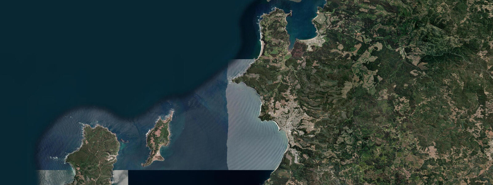
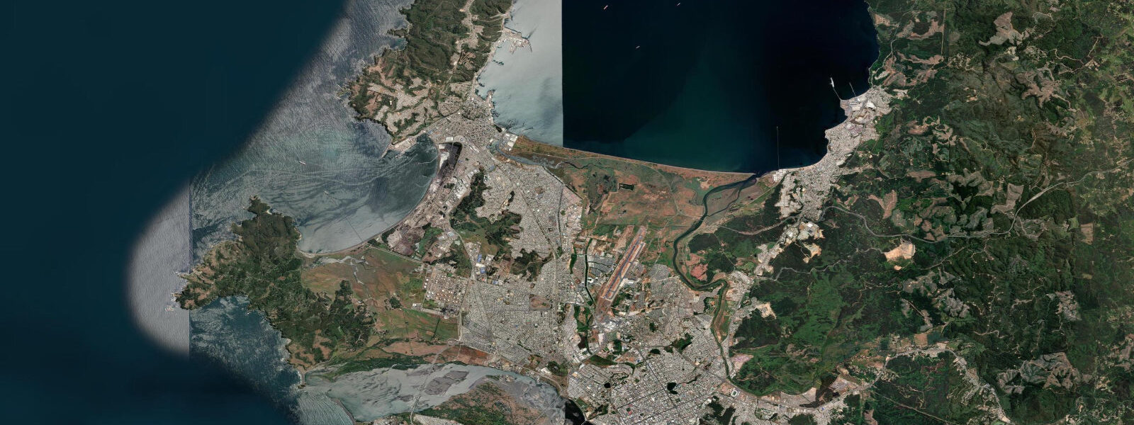
Dichato is a beach village on the north shore of the Biobío coast, 40 km north of Concepción and 15 km south of Tomé. The town sits at the mouth of the Dichato River, where a small lagoon behind the beach connects to the sea through a tidal channel. The beach faces NW across the open Pacific; it is wide, flat, and exposed to the full South Pacific swell.
Dichato was largely destroyed in the 2010 Chile earthquake and tsunami. The Mw 8.8 event on 27 February 2010 generated a tsunami run-up of 4–6 m above mean sea level at Dichato; the wave destroyed the waterfront neighbourhood, the fishing harbour, and the recreational infrastructure that had made Dichato one of the most popular summer beaches in the region. The rebuilt town — completed through 2012–2015 — has a new sea wall, elevated evacuation routes, and vertical evacuation platforms on the hills above the beach. Tsunami evacuation signage is prominently posted throughout the town; the local population has undergone evacuation drills and the community memory of the 2010 event is immediate and specific.
The tidal regime at Dichato is mixed semidiurnal, spring range approximately 1.5–2.0 m above Chart Datum — consistent with the Biobío coast. The beach is wide and gently sloping; at spring low water the beach exposes an additional 30–50 m of sand beyond the high-water line. The river mouth channel that connects the Dichato lagoon to the sea is tidal: at low water the channel is shallow (sometimes closing the bar in summer dry periods); at high water the channel opens and the lagoon-side water is navigable by small kayaks and paddle craft.
Summer (December–February) brings consistent visitor flow from the Concepción metropolitan area. The beach supports surf: the beach break receives consistent NW and SW groundswell and works best on the incoming tide at mid-height. The Dichato fishing harbour, rebuilt after 2010, operates a small fleet of artisanal fishing vessels targeting congrio, corvina, and pelagic species.
The lagoon behind the beach is productive for estuary fishing: pejerrey and lisa in the brackish zone on the incoming tidal flush. The channel between the lagoon and the sea concentrates fish at the tide turn. Shore fishing from the river mouth rocks and the beach is most productive from one hour after the predicted low through to high water. SHOA publishes Chilean tide tables with Talcahuano as the regional reference station. Predictions here: Open-Meteo Marine, ±45 min / ±0.2–0.3 m.
The rebuilt Dichato includes a Memorial and Museum (Museo y Recuerdo del Mar) dedicated to the 2010 tsunami — a community-built monument that records the exact run-up heights at various points along the former waterfront street. The museum is a modest building adjacent to the beach access; it functions primarily as a local educational and memorial space rather than a large-scale tourist attraction. The combination of the reconstruction's visible recent character and the explicit tsunami memorial gives Dichato a different quality from other Biobío beach towns — it is not attempting to present itself as unchanged.
The post-2010 reconstruction of Dichato was managed by the Chilean government's MINVU (Ministry of Housing and Urban Planning) as a pilot programme for resilient coastal rebuilding. The new Dichato incorporates setback requirements from the former high-water mark, elevated street levels in the coastal zone, and hardened sea wall infrastructure. The experience became a reference point for coastal resilience planning in Chile and was presented at international disaster risk reduction conferences. The visible difference between the rebuilt Dichato and the pre-2010 village footprint remains apparent in the open land between the sea wall and the first row of buildings.
Tide questions about Dichato Beach
Quick answers to the most common questions about tide times, range, and water access at Dichato Beach.
What happened to Dichato in the 2010 tsunami, and is it safe to visit now?
The 2010 Mw 8.8 Chile earthquake tsunami struck Dichato with run-up heights of 4–6 m above mean sea level, destroying most of the waterfront neighbourhood. The rebuilt town has a reinforced sea wall, elevated evacuation routes, and vertical evacuation platforms on the hills. Tsunami evacuation signage is prominently posted throughout the town and the community conducts regular drills. Dichato is safe to visit; the geological hazard from a future subduction earthquake is not eliminated but is managed through the planning and warning systems that Chile operates through SHOA's Pacific tsunami warning centre. SHOA's sea-level monitoring network, upgraded after 2010, now provides coastal communities with more reliable real-time warning data.
Where do the tide predictions on this page come from?
Open-Meteo Marine, a free gridded global ocean model. Accuracy is typically ±45 minutes on timing and ±0.2–0.3 m on height. SHOA (Servicio Hidrográfico y Oceanográfico de la Armada de Chile) publishes official tide tables with Talcahuano as the reference station for the Biobío coast. This page is not for navigation. SHOA publishes tide tables with the Talcahuano station as the Biobío regional reference; Dichato timing typically runs 10–15 minutes behind Talcahuano. The SHOA Talcahuano gauge is accessible in real-time via the SHOA online sea-level monitoring portal at shoa.cl.
Is the Dichato lagoon accessible by kayak?
The lagoon behind Dichato beach connects to the sea through a tidal river channel. At high water the channel is open and the lagoon is navigable by kayak and paddle board; the lagoon itself is calm and sheltered even when the beach outside is active. At low water in summer the channel bar can become very shallow or close temporarily after dry periods; check the bar condition visually before committing to an entry. The lagoon holds estuarine fish — pejerrey and lisa — and is a quiet alternative to the exposed beach outside. Paddleboard rentals are not currently established in Dichato; bring your own equipment if planning lagoon paddling.
When is Dichato surf at its best?
The beach break at Dichato receives consistent NW and SW Pacific groundswell year-round, with the most reliable swell arriving May through September during the South Pacific storm track season. The break is most consistent on the incoming tide at mid-height; at low water the break becomes more powerful and the shore dump increases. Summer (December–February) brings lighter swell and more crowded conditions from Concepción visitors. There are no permanent surf schools or lifeguards at Dichato; assess conditions before entering the water. May through September swell at Dichato is driven by mid-latitude Southern Ocean depressions tracking NE across the South Pacific; swell periods of 12–16 seconds are common.
Is shore fishing productive at Dichato beach?
Shore fishing from the Dichato beach and the rocks at the river mouth targets congrio (cusk eel), corvina, and pejerrey on the incoming tide. The river mouth channel concentrates fish on the tidal exchange — the best window is from one hour after the predicted low through to high water when bait moves in from the sea. The rebuilt fishing harbour on the south side of the river mouth gives local fishing boat access at all states of tide; the harbour depth is maintained for the artisanal fleet. The rebuilt harbour facility maintains a channel depth of 1.5 m at MLWS for the artisanal fleet; the harbour master can advise on current depths.
7-day tide table — Dichato Beach
Heights relative to MSL. Predictions: Open-Meteo Marine (MeteoFrance SMOC, 0.08° grid) — heights relative to MSL (not chart datum / LAT). Model-derived.
| Day | Type | Time | Height |
|---|---|---|---|
| Sun 21 Jun | High | 15:24 | 0.5m |
| Low | 22:13 | -0.6m | |
| Mon 22 Jun | High | 16:23 | 0.3m |
| Low | 23:00 | -0.6m | |
| Tue 23 Jun | High | 05:37 | 0.3m |
| Low | 23:50 | -0.5m | |
| Wed 24 Jun | High | 18:43 | 0.1m |
| Thu 25 Jun | Low | 00:36 | -0.4m |
| High | 07:23 | 0.5m | |
| Low | 14:07 | -0.4m | |
| High | 19:38 | 0.1m | |
| Fri 26 Jun | Low | 01:23 | -0.4m |
| High | 08:02 | 0.5m | |
| Low | 15:00 | -0.5m | |
| High | 20:23 | 0.0m | |
| Sat 27 Jun | Low | 02:06 | -0.6m |
| High | 08:46 | 0.4m | |
| Low | 15:40 | -0.7m | |
| High | 19:00 | -0.3m |