Halifax, Nova Scotia tide times
Halifax, Nova Scotia tide forecast — heights relative to MSL.
Today's tide times for Halifax, Nova Scotia
Tide times at Halifax, Nova Scotia on Sunday, 26 July 2026: first low tide at 12:38am, first high tide at 06:45am, second low tide at 12:46pm, second high tide at 06:37pm. Sunrise 05:54am, sunset 08:46pm.
Tide chart for Halifax, Nova Scotia
24-hour cosine-interpolated curve around the present moment. Heights relative to MSL. Predictions: Predictions: Open-Meteo Marine (MeteoFrance SMOC, 0.08° grid).
Sun, moon and conditions on Sun 26 Jul
Snapshot at build time — refreshes daily. Sea state from Open-Meteo Marine.
Highs and lows next 7 days
Every predicted high and low for the next week, with the daily tidal coefficient (0–120; higher = bigger swing, > 95 means stronger currents).
Other spots nearby
The three closest curated TideTurtle locations to Halifax, Nova Scotia, measured by great-circle distance.
Today's solunar windows
Solunar tradition: major periods are the ≈3h windows around moon transit and opposition; minor are ≈2h around moonrise and moonset. Pair with the local tide stage and wind for the best read.
Cycle dates near Halifax, Nova Scotia
Next spring tide on Thu 30 Jul (range 1.4m). Last neap on Sat 25 Jul.
Spring tides cluster around new and full moons (biggest swings). Neap tides land on quarter moons (smallest swings). See the spring tide and neap tide glossary entries for the why.
About tides at Halifax, Nova Scotia
A short guide to the coastline at Halifax, Nova Scotia — geography, sea state, and what the tide is actually doing under your feet.
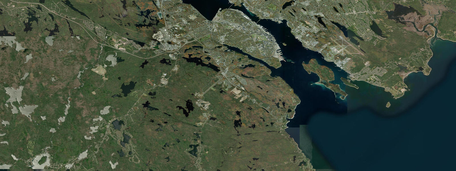
Halifax sits on the Atlantic-facing south shore of Nova Scotia, on a long deep harbour ringed by Citadel Hill, the working container piers, the Dartmouth crossing, and McNabs Island guarding the seaward end. 9 on neaps. That is small compared to what the rest of the Maritimes carries: round the peninsula into the Bay of Fundy at Burntcoat Head and the same astronomical forcing produces a swing of roughly 12 metres on a normal day and over 16 on the largest spring tides — the world record.
Halifax sits well outside that resonant amplifier, on the open Atlantic side of the peninsula, so the harbour stays workable across the cycle for the container ships and the Halifax-Dartmouth ferries that don't notice the change. The Northwest Arm sea kayakers, fishers off Sambro and Peggy's Cove, and walkers on McNabs Island and the Eastern Passage shore each read the table for different windows. Lowest spring lows around new and full moons open the rocky intertidal at Point Pleasant Park and the granite ledges south of the city.
Open-Meteo Marine drives the gridded predictions on this page; for authoritative Canadian Maritime tide data, the Canadian Hydrographic Service publishes the official Halifax gauge readings and the Atlantic-coast tide tables.
Tide questions about Halifax, Nova Scotia
Quick answers to the most common questions about tide times, range, and water access at Halifax, Nova Scotia.
When is the next high tide at Halifax?
The hero block at the top of this page shows the next high tide on Halifax Harbour in local Atlantic time (AST in winter, ADT in summer). The 7-day table covers all the highs and lows on the open Atlantic side of Nova Scotia. High water at Sambro Harbour just outside the harbour entrance arrives a few minutes ahead of the inner-harbour gauge.
What's the typical tide range at Halifax?
Mean range at the Halifax gauge is about 1.3 metres, modest by Maritime Canada standards. Spring tides push close to 1.7 metres around new and full moons; neaps drop near 0.9 metres. The Bay of Fundy on the other side of the peninsula runs the world's largest tide range — about 12 metres on a normal day at Burntcoat Head — but Halifax sits on the open Atlantic side, well outside that resonant basin.
Where do these tide predictions come from?
Open-Meteo Marine, a gridded global ocean model. Useful for daily planning around Halifax Harbour, the Northwest Arm, and the open coast at Peggy's Cove. For authoritative Canadian Maritime tide data, the Canadian Hydrographic Service operates the official Halifax harbour gauge and publishes the Atlantic-coast tide tables.
Is the Bay of Fundy close enough to visit from Halifax?
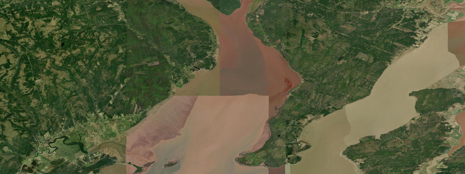
Yes — about a 90-minute drive west across the peninsula. Burntcoat Head Park on the Minas Basin side runs the world's largest tide range and is the canonical day-trip destination for tide visitors based in Halifax. Plan the visit around the timing of low water at Burntcoat Head (which lags Halifax by about three hours) for the full red-mud-flats walking experience.
Is this safe to use for navigation?
No. For piloting in or out of Halifax Harbour, transiting the Eastern Passage, or working the open coast at Peggy's Cove and Sambro use the Canadian Hydrographic Service's authoritative tide tables, the Canadian Coast Guard's notices to mariners, and Atlantic Pilotage Authority guidance. The Sambro Ledges south of the harbour entrance are a working hazard at any tide.
7-day tide table — Halifax, Nova Scotia
Heights relative to MSL. Predictions: Open-Meteo Marine (MeteoFrance SMOC, 0.08° grid) — heights relative to MSL (not chart datum / LAT). Model-derived.
| Day | Type | Time | Height |
|---|---|---|---|
| Sun 26 Jul | Low | 00:38 | -1.1m |
| High | 06:45 | -0.0m | |
| Low | 12:46 | -0.8m | |
| High | 18:37 | 0.2m | |
| Mon 27 Jul | Low | 01:24 | -1.0m |
| High | 07:26 | 0.1m | |
| Low | 13:38 | -0.7m | |
| High | 19:17 | 0.3m | |
| Tue 28 Jul | Low | 02:08 | -1.0m |
| High | 08:03 | 0.1m | |
| Low | 14:16 | -0.8m | |
| High | 19:54 | 0.3m | |
| Wed 29 Jul | Low | 02:45 | -1.1m |
| High | 08:44 | 0.1m | |
| Low | 14:51 | -0.8m | |
| High | 20:33 | 0.2m | |
| Thu 30 Jul | Low | 03:15 | -1.2m |
| High | 21:10 | 0.3m | |
| Fri 31 Jul | Low | 03:47 | -1.1m |
| High | 09:52 | 0.3m | |
| Low | 16:00 | -0.9m | |
| High | 21:42 | 0.3m | |
| Sat 01 Aug | Low | 04:15 | -1.1m |
| High | 10:25 | 0.3m | |
| Low | 16:40 | -0.9m | |
| High | 20:00 | -0.2m |