Digby tide times
Digby tide forecast — heights relative to MSL.
Today's tide times for Digby
Tide times at Digby on Friday, 19 June 2026: first high tide at 01:32am, first low tide at 08:00am, second high tide at 02:07pm, second low tide at 08:23pm. Sunrise 04:37am, sunset 08:11pm.
Tide chart for Digby
24-hour cosine-interpolated curve around the present moment. Heights relative to MSL. Predictions: Predictions: Open-Meteo Marine (MeteoFrance SMOC, 0.08° grid).
Sun, moon and conditions on Fri 19 Jun
Snapshot at build time — refreshes daily. Sea state from Open-Meteo Marine.
Highs and lows next 7 days
Every predicted high and low for the next week, with the daily tidal coefficient (0–120; higher = bigger swing, > 95 means stronger currents).
Other spots nearby
The three closest curated TideTurtle locations to Digby, measured by great-circle distance.
Today's solunar windows
Solunar tradition: major periods are the ≈3h windows around moon transit and opposition; minor are ≈2h around moonrise and moonset. Pair with the local tide stage and wind for the best read.
Cycle dates near Digby
Last spring tide on Thu 18 Jun (range 7.1m). Next neap on Wed 24 Jun.
Spring tides cluster around new and full moons (biggest swings). Neap tides land on quarter moons (smallest swings). See the spring tide and neap tide glossary entries for the why.
About tides at Digby
A short guide to the coastline at Digby — geography, sea state, and what the tide is actually doing under your feet.
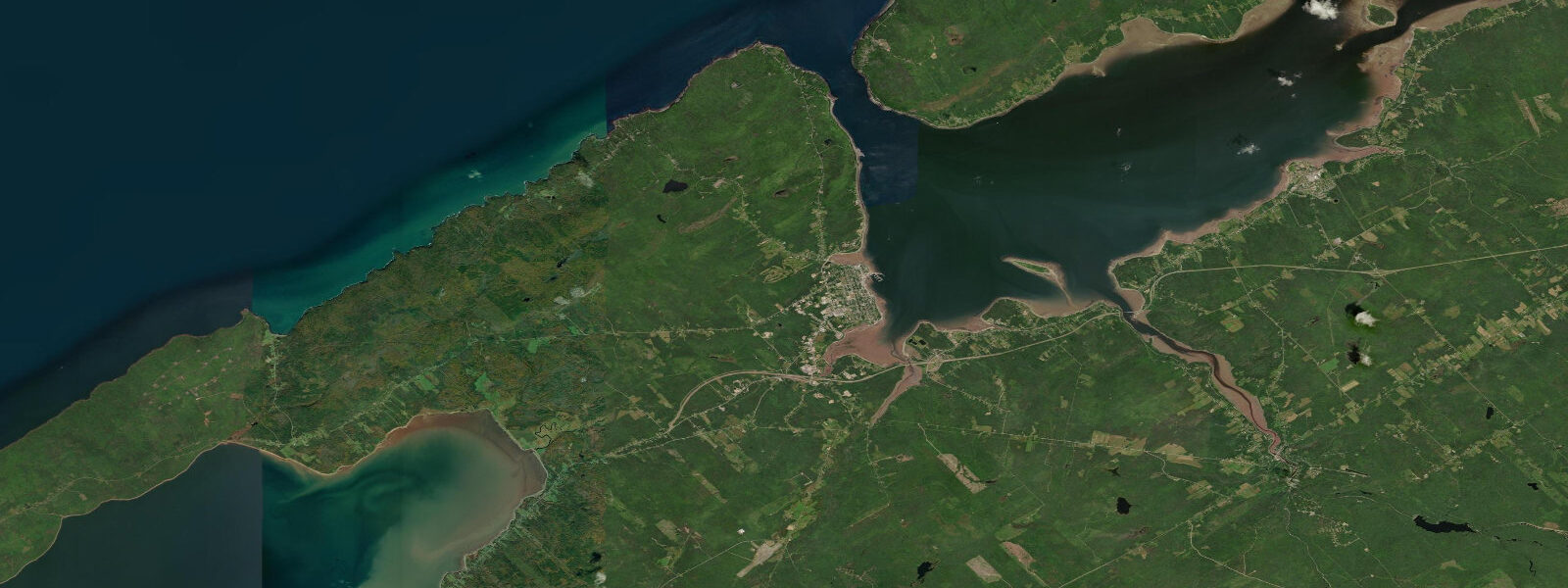
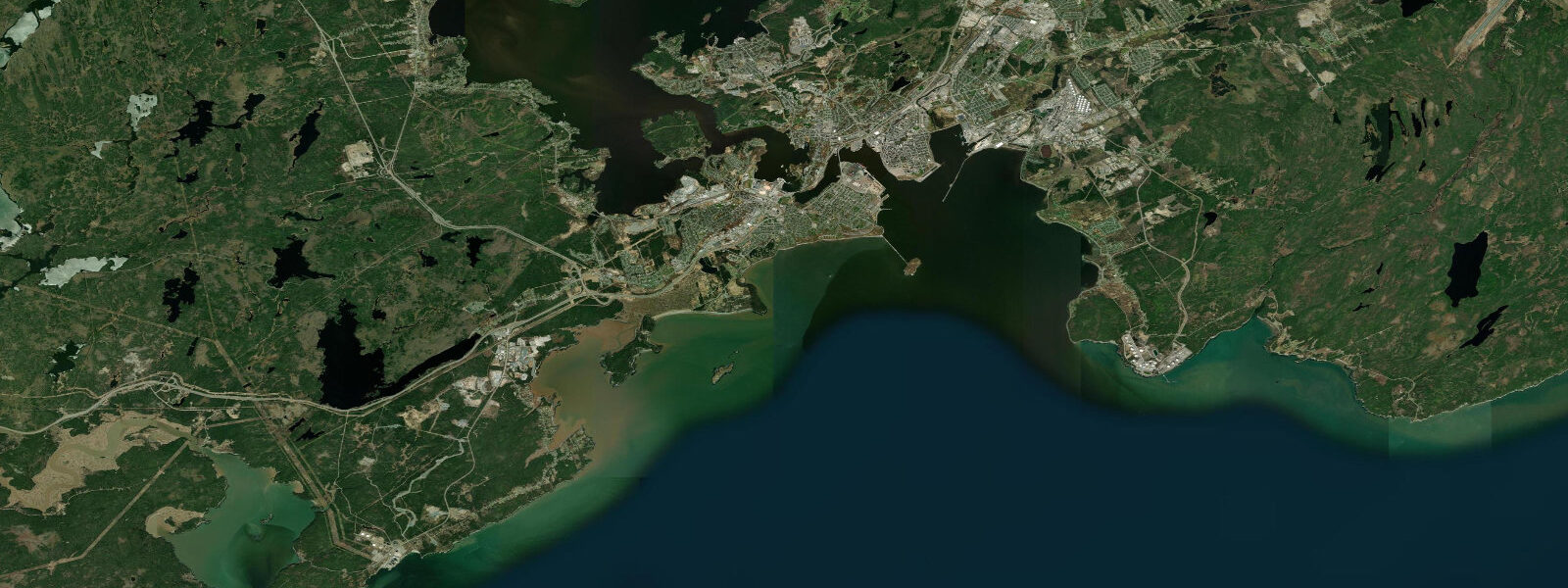
Digby sits at the mouth of the Annapolis Basin on the inner Bay of Fundy, where the amplification effect of the bay's funnel geometry takes tides that average 2 to 3 metres on Nova Scotia's Atlantic shore and stretches them to a mean spring range of approximately 8.0 metres. This is not an abstraction — at low water the inner basin drains to a condition that looks like riverbed. The Digby scallop fleet, which operates the largest concentration of scallop draggers in the world by vessel count, is built around this reality: every vessel in the fleet is designed with bilge keels or flat-bottomed hull sections allowing it to sit upright on the harbour bottom at low water. This is how a working harbour functions at this tidal range — you build the boats to the tide, not the tide to the boats.
Scallops from the Bay of Fundy are processed on-site in Digby, and the fresh scallop at the waterfront restaurants is the single most useful piece of culinary information about this town. The season runs roughly May through October, with peak catch from the offshore grounds in summer. The ferry to Saint John, New Brunswick, crosses the Bay of Fundy in approximately 2.5 hours — a crossing that operates on a schedule timed to tidal conditions and sea state in the upper Bay, where the same tidal dynamics produce significant chop on the crossing route on large spring tides with opposing wind.
For paddlers, the Annapolis Basin is an advanced-to-expert kayaking environment. The tidal currents at the Digby Gut — the narrow entrance passage connecting the Annapolis Basin to the outer Bay — reach 3 to 5 knots on spring tides, producing standing waves and rip conditions at the gut on the flood and ebb. Paddling inside the basin is calmer but the 8-metre range demands careful trip planning: a put-in at high water on a spring tide will see the water drop 4 metres in the first three hours of the ebb. Fishing opportunities include striped bass in the tidal channels of the Annapolis River (35 km east via Annapolis Royal) and pollock from the ferry wharf on the incoming tide.
Thirty-five kilometres east along the Annapolis River, the Annapolis Royal Tidal Generating Station has been operating since 1984 — the world's first and longest-running commercial tidal power station, using a 7.6 MW Straflo turbine in a low-head sluiceway across the Annapolis River estuary. The station is open to visitors and provides context for what 8 metres of tidal range actually means as an energy resource.
Predictions on this page come from Open-Meteo Marine, a gridded global ocean model. Accuracy is typically within plus or minus 45 minutes on timing and 0.2 to 0.3 metres on height — model-derived, not from a local gauge. For authoritative Canadian tide data, consult the Canadian Hydrographic Service (tides.gc.ca).
Tide questions about Digby
Quick answers to the most common questions about tide times, range, and water access at Digby.
Why do fishing boats sit on the bottom in Digby Harbour?
The mean spring tidal range at Digby is approximately 8.0 metres — one of the largest in the world, driven by Bay of Fundy resonance. At low water the inner harbour basin drains almost completely, leaving boats resting on the harbour bottom for several hours each tidal cycle. All commercial vessels in the Digby scallop fleet are built with bilge keels (lateral fins) or flat-bottomed midship sections that allow them to sit upright rather than tipping on their sides. This design is standard practice for any working harbour in the upper Bay of Fundy. The same vessels float normally at high water — the sitting-on-bottom condition lasts roughly 2 to 3 hours around each low tide.
How long is the ferry crossing from Digby to Saint John?
Bay Ferries operates the MV Fundy Rose on the Digby–Saint John route, with a crossing time of approximately 2 hours 45 minutes. Sailing schedules are published seasonally and vary in frequency — two to three crossings per day in peak summer, fewer in shoulder season. The crossing traverses the full width of the Bay of Fundy and can be rough on large spring tides with opposing southwest wind. The schedule is set by the operator and is not directly tide-dependent, but heavy seas on the outer Bay occasionally cause delays. Check Bay Ferries' website for current schedules and sea-state advisories.
Is kayaking safe in the Annapolis Basin near Digby?
The Annapolis Basin is an advanced kayaking environment. The Digby Gut entrance passage concentrates tidal flow from the 8-metre Bay of Fundy range through a narrow channel, generating currents of 3 to 5 knots on spring tides with associated standing waves and overfalls. Paddling the gut or anywhere near it requires tidal current knowledge and whitewater sea-kayaking skills. Inside the basin the water is calmer, but the tidal drop of up to 4 metres in three hours means any multi-hour trip requires an exit point that is viable at low water — many shore sections become vast mudflats. Paddlers with appropriate experience should plan with CHS tidal current tables alongside the tide height predictions.
When is the best time to see the Digby scallop fleet in the harbour?
The fleet is most concentrated at the Digby wharf between late afternoon and the following morning — vessels typically depart for the grounds early and return to offload catch. The low-water period, when boats sit on the bottom of the inner harbour, is the most visually dramatic time: hulls fully visible, bilge keels resting on the basin floor, a scene that shows the tidal range more immediately than any diagram. Low water on a spring tide (within 2 days of new or full moon) is the most dramatic; check the CHS tide tables to identify the lowest predicted low in a given visit window.
Can I visit the tidal power station near Digby?
The Annapolis Royal Tidal Generating Station is located approximately 35 kilometres east of Digby, in Annapolis Royal on the Annapolis River estuary. It has been operating since 1984 and is the world's longest-running commercial tidal power installation. Nova Scotia Power, the operator, has offered visitor access at various times — call ahead to confirm current tour availability and hours, as the station's public access schedule has changed with ownership and maintenance periods. The Annapolis Royal town centre is worth the drive regardless: it is one of the oldest European settlements in North America and has its own tidal context (the Annapolis River running dry on spring low tides is visible from the town).
7-day tide table — Digby
Heights relative to MSL. Predictions: Open-Meteo Marine (MeteoFrance SMOC, 0.08° grid) — heights relative to MSL (not chart datum / LAT). Model-derived.
| Day | Type | Time | Height |
|---|---|---|---|
| Fri 19 Jun | High | 01:32 | 3.3m |
| Low | 08:00 | -3.8m | |
| High | 14:07 | 3.0m | |
| Low | 20:23 | -3.4m | |
| Sat 20 Jun | High | 02:28 | 3.1m |
| Low | 08:56 | -3.5m | |
| High | 15:03 | 2.8m | |
| Low | 21:23 | -3.2m | |
| Sun 21 Jun | High | 03:24 | 2.6m |
| Low | 09:50 | -3.3m | |
| High | 15:58 | 2.5m | |
| Low | 22:20 | -3.1m | |
| Mon 22 Jun | High | 04:21 | 2.2m |
| Low | 10:43 | -3.2m | |
| High | 16:55 | 2.3m | |
| Low | 23:17 | -3.0m | |
| Tue 23 Jun | High | 05:20 | 2.1m |
| Low | 11:38 | -2.9m | |
| High | 17:51 | 2.4m | |
| Wed 24 Jun | Low | 00:20 | -2.8m |
| High | 06:21 | 1.9m | |
| Low | 12:36 | -2.8m | |
| High | 18:47 | 2.2m | |
| Thu 25 Jun | Low | 01:20 | -2.9m |
| High | 19:00 | 2.0m |