St. John's, NL tide times
St. John's, NL tide forecast — heights relative to MSL.
Tide chart for St. John's, NL
24-hour cosine-interpolated curve around the present moment. Heights relative to MSL. Predictions: Predictions: Open-Meteo Marine (MeteoFrance SMOC, 0.08° grid).
Sun, moon and conditions on Sun 21 Jun
Snapshot at build time — refreshes daily. Sea state from Open-Meteo Marine.
Highs and lows next 7 days
Every predicted high and low for the next week, with the daily tidal coefficient (0–120; higher = bigger swing, > 95 means stronger currents).
Other spots nearby
The three closest curated TideTurtle locations to St. John's, NL, measured by great-circle distance.
Today's solunar windows
Solunar tradition: major periods are the ≈3h windows around moon transit and opposition; minor are ≈2h around moonrise and moonset. Pair with the local tide stage and wind for the best read.
Cycle dates near St. John's, NL
Next spring tide on Fri 26 Jun (range 0.8m). Next neap on Wed 24 Jun.
Spring tides cluster around new and full moons (biggest swings). Neap tides land on quarter moons (smallest swings). See the spring tide and neap tide glossary entries for the why.
About tides at St. John's, NL
A short guide to the coastline at St. John's, NL — geography, sea state, and what the tide is actually doing under your feet.
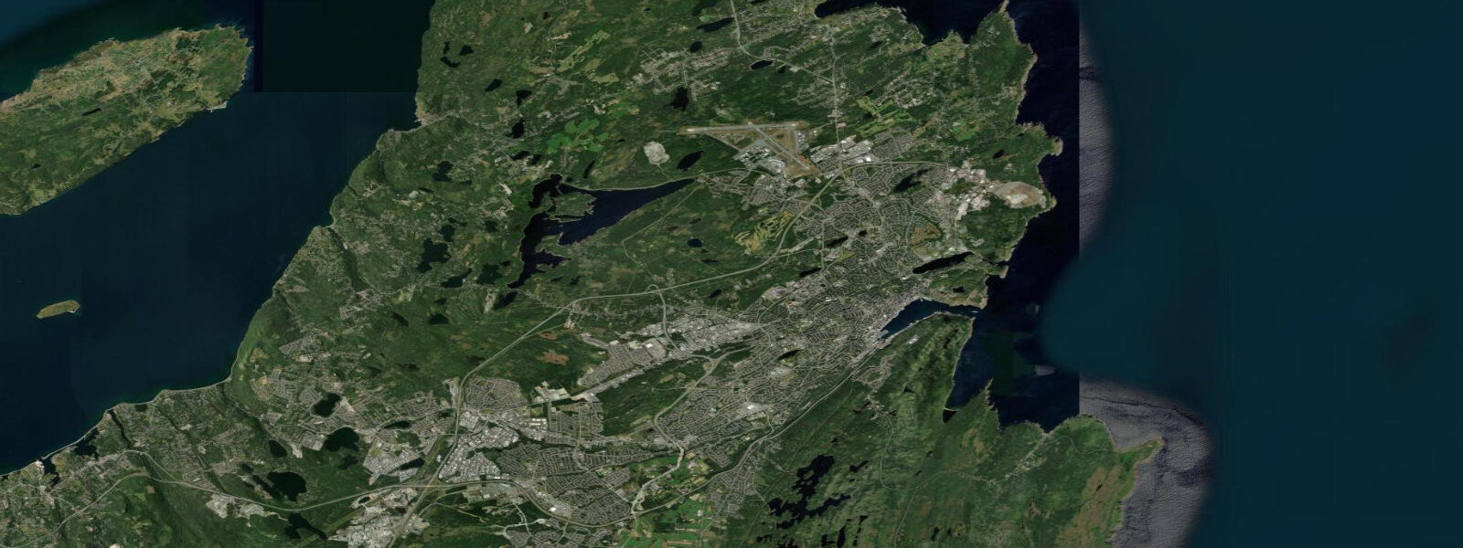
St. John's Harbour sits behind one of the most dramatic natural entrances on the North American east coast. The Narrows is a 200-metre-wide channel cut between Signal Hill — 99 metres of quartzite headland on the north — and the South Side Hills on the south, compressing the full tidal exchange of the harbour into a passage narrow enough to shout across. Once inside, the harbour opens into a sheltered basin 1.5 kilometres long by 500 metres wide, used continuously as a port of call since the 16th century.
The tidal regime at St. John's is semidiurnal. Mean range is approximately 1.3 metres above MLLW (mean lower low water); spring range reaches around 1.6 metres. These numbers are the baseline — North Atlantic cyclones tracking up the coast can add storm surge that lifts water levels by 0.5 to 1.0 metre above predicted heights. The Narrows compounds the effect: a raised sea state outside pushes water through the constriction faster and higher than the tide tables alone would suggest. Mariners and kayakers transiting the Narrows time their passage to avoid the worst of the ebb, which runs at 1 to 2 knots on springs and stronger on storm-driven ebbs.
Signal Hill dominates the north side of the Narrows and the skyline above the city. Cabot Tower at the summit marks the spot where Guglielmo Marconi received the first transatlantic wireless signal on 12 December 1901 — the letter S, transmitted from Poldhu, Cornwall, 3,500 kilometres away. The tower stands at 99 metres above sea level; the view from the tower platform covers the full arc of Conception Bay to the west, Iceberg Alley to the east, and the entrance to the Narrows directly below. In March through June, icebergs drifting south on the Labrador Current are visible from Signal Hill — some grounding in shallow water in the approach to St. John's.
Cape Spear is 10 kilometres south of the harbour entrance, the easternmost land point of North America (47.5232°N, 52.6191°W). Two lighthouses stand there — the active tower from 1955 and the restored original from 1836. At low water, the rock platforms at the base of the cape are accessible on foot from the parking area; at high water on a ground swell, wave wash can reach the lower path. The coastal walk between Cuckold's Cove (near the Narrows south side) and Cape Spear along the East Coast Trail is approximately 12 kilometres return.
The downtown waterfront — Water Street — follows the north shore of the harbour, built at the edge of the historic port area. George Street and Duckworth Street above it carry the bar and restaurant density. The social life of St. John's is concentrated here; the city has one of the highest pub densities per capita in North America. Jiggs' dinner (salt beef, cabbage, turnip, potatoes, pease pudding), toutons (fried bread dough with molasses), and fish and brewis (salt cod with hardtack biscuit) are the canonical local foods.
Iceberg season on the Avalon Peninsula runs March through July. The Iceberg Finder app (produced by the Canadian Ice Service) tracks real-time iceberg positions; the Witless Bay Ecological Reserve, 25 kilometres south of St. John's, is the best shore-based vantage point during peak season. Puffin and seabird colonies at Witless Bay are accessible by boat tour from Bay Bulls from May through August.
Tide predictions on this page come from Open-Meteo Marine, a gridded global ocean model. Accuracy is typically within plus or minus 45 minutes on timing and 0.2 to 0.3 metres on height — model-derived, not from the DFO St. John's gauge. For authoritative official Canadian predictions, consult Fisheries and Oceans Canada (DFO) at tides.gc.ca — the Canadian Tidal Prediction Service publishes verified predictions for St. John's Harbour.
Tide questions about St. John's, NL
Quick answers to the most common questions about tide times, range, and water access at St. John's, NL.
What is the tidal range at St. John's and how does storm surge affect the harbour?
Mean tidal range at St. John's is approximately 1.3 metres above MLLW; mean spring range is around 1.6 metres. These are the baseline predicted heights. When North Atlantic cyclones track close to Newfoundland — common in autumn and winter — storm surge can add 0.5 to 1.0 metre on top of the predicted tide. The Narrows entrance amplifies surge: water pushed against the coast from outside is funnelled through the 200-metre channel, raising harbour levels faster than tide tables alone indicate. For any harbour operation or waterfront activity during a storm or strong onshore wind, add a surge allowance to the predicted high water height.
When can I see icebergs from St. John's and Cape Spear?
Iceberg Alley — the corridor of ocean along the Labrador and Newfoundland coast where calved Greenland icebergs drift south on the Labrador Current — is active from late March through late June, peaking in May. Icebergs are visible from Signal Hill, Cape Spear, and the East Coast Trail south of the city when conditions are favourable. The Canadian Ice Service (ice.ec.gc.ca) and the Iceberg Finder app track current iceberg positions in near-real-time. Some years produce dozens of icebergs within sight of shore; low-iceberg years (warmer upstream conditions) may show none from land. May is statistically the most reliable month.
What is the significance of Signal Hill and Cabot Tower?
Signal Hill was the main military lookout and communications post for St. John's from the 18th century through the Second World War. Cabot Tower at the summit was built in 1898 to mark the 400th anniversary of John Cabot's 1497 voyage. On 12 December 1901, Guglielmo Marconi set up a receiving station in the tower's upper room and received the letter S in Morse code — transmitted from Poldhu, Cornwall, 3,500 kilometres east — becoming the first transatlantic wireless signal in history. The tower is preserved as part of the Signal Hill National Historic Site; the climb to the summit is approximately 45 minutes from the parking lot and delivers the full view of the Narrows entrance below.
What are the best activities to do around low tide at St. John's?
Cape Spear at low water allows access to the rock platforms at the base of the headland — the easternmost point of North America, with tidal pools and the full exposure of the seaward rock face. The East Coast Trail sections between Cuckold's Cove and Cape Spear (12 km return) cross several low-tide rock platforms. Kayaking the Narrows is best timed to the flood — enter on the incoming tide to avoid the 1 to 2 knot ebb current in the channel. Witless Bay Ecological Reserve boat tours to the puffin colonies run May through August regardless of tide, but calm sea conditions (associated with high pressure and often with neap tides) improve the crossing.
Are the tide predictions on this page official forecasts I can use for navigation or vessel planning?
No. The predictions shown here come from Open-Meteo Marine, a global ocean model with typical accuracy of plus or minus 45 minutes on timing and 0.2 to 0.3 metres on height. They are appropriate for general coastal planning — timing a beach or cliff walk, understanding the tidal cycle, estimating low-water access windows — but not for vessel navigation, harbour entry, or any safety-critical decision. For authoritative official Canadian tide predictions, use Fisheries and Oceans Canada (DFO) at tides.gc.ca. The DFO publishes verified gauge-based predictions for St. John's Harbour. Storm surge forecasts for Newfoundland are available from Environment and Climate Change Canada.
7-day tide table — St. John's, NL
Heights relative to MSL. Predictions: Open-Meteo Marine (MeteoFrance SMOC, 0.08° grid) — heights relative to MSL (not chart datum / LAT). Model-derived.
| Day | Type | Time | Height |
|---|---|---|---|
| Sun 21 Jun | — | ||
| Mon 22 Jun | Low | 07:16 | -0.8m |
| High | 13:15 | -0.2m | |
| Tue 23 Jun | Low | 08:00 | -0.8m |
| High | 14:21 | -0.3m | |
| Low | 20:45 | -0.8m | |
| Wed 24 Jun | High | 02:40 | -0.3m |
| Low | 08:45 | -0.7m | |
| High | 15:16 | -0.1m | |
| Low | 21:55 | -0.6m | |
| Thu 25 Jun | High | 03:21 | -0.3m |
| Low | 09:38 | -0.7m | |
| High | 16:04 | -0.1m | |
| Low | 23:04 | -0.8m | |
| Fri 26 Jun | High | 04:50 | -0.4m |
| Low | 10:37 | -0.8m | |
| High | 17:00 | -0.1m | |
| Low | 23:47 | -0.9m | |
| Sat 27 Jun | High | 05:40 | -0.4m |
| Low | 11:22 | -0.8m | |
| High | 17:54 | -0.0m | |
| Low | 20:00 | -0.2m | |