Sihanoukville tide times
Sihanoukville tide forecast — heights relative to MSL.
Today's tide times for Sihanoukville
Tide times at Sihanoukville on Sunday, 21 June 2026: first high tide at 07:00am, first low tide at 10:10am, second high tide at 06:50pm, second low tide at 10:10pm. Sunrise 05:45am, sunset 06:29pm.
Tide chart for Sihanoukville
24-hour cosine-interpolated curve around the present moment. Heights relative to MSL. Predictions: Predictions: Open-Meteo Marine (MeteoFrance SMOC, 0.08° grid).
Sun, moon and conditions on Sun 21 Jun
Snapshot at build time — refreshes daily. Sea state from Open-Meteo Marine.
Highs and lows next 7 days
Every predicted high and low for the next week, with the daily tidal coefficient (0–120; higher = bigger swing, > 95 means stronger currents).
Other spots nearby
The three closest curated TideTurtle locations to Sihanoukville, measured by great-circle distance.
Today's solunar windows
Solunar tradition: major periods are the ≈3h windows around moon transit and opposition; minor are ≈2h around moonrise and moonset. Pair with the local tide stage and wind for the best read.
About tides at Sihanoukville
A short guide to the coastline at Sihanoukville — geography, sea state, and what the tide is actually doing under your feet.
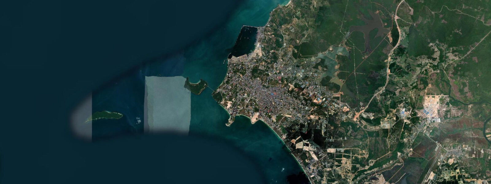
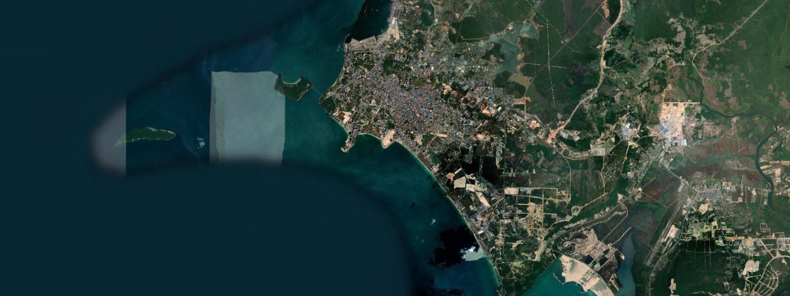
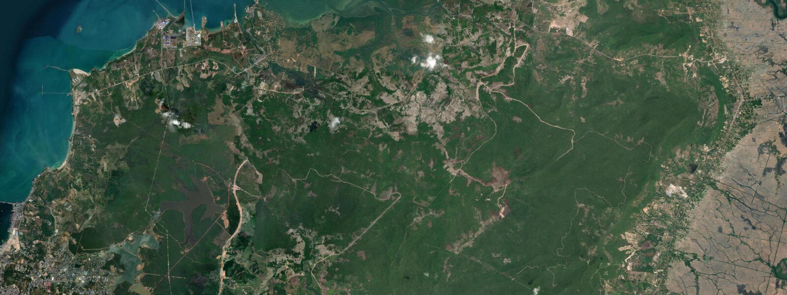
Sihanoukville stands on a rocky headland at the southwestern corner of Cambodia, where the country meets the Gulf of Thailand. The city — officially Preah Sihanouk City — is Cambodia's only significant coastal urban centre, and the container port, ferry terminal, and the casino-hotel strip along the waterfront all operate from the same headland and its flanking bays. The main beaches — Ochheuteal, Serendipity, and Sokha — arc around the sheltered bays south and west of the city centre, each backed by a mix of guesthouses, restaurant strips, and the larger resort hotels that have replaced much of the quieter infrastructure of the early 2000s.
The tidal regime at Sihanoukville is mixed diurnal, and it is one of the most counter-intuitive tidal patterns that Gulf of Thailand coastal users encounter. On many days in the June-to-September monsoon window, the Gulf's restricted geometry produces something close to a single daily rise and fall — not the reliable twice-daily rhythm that visitors from European or open-ocean coasts expect. The range on those deeply diurnal days may be only 0.6 to 0.8 m over a 24-hour period, and the water level can sit nearly flat for hours at a time, making the concept of a distinct high and low nearly meaningless. On the more semidiurnal days, particularly November through February, the range increases to around 1.0 to 1.2 m on spring tides and the curve shows two distinct highs and two distinct lows. The transition between these modes happens gradually through the year and varies by lunar phase within each month.
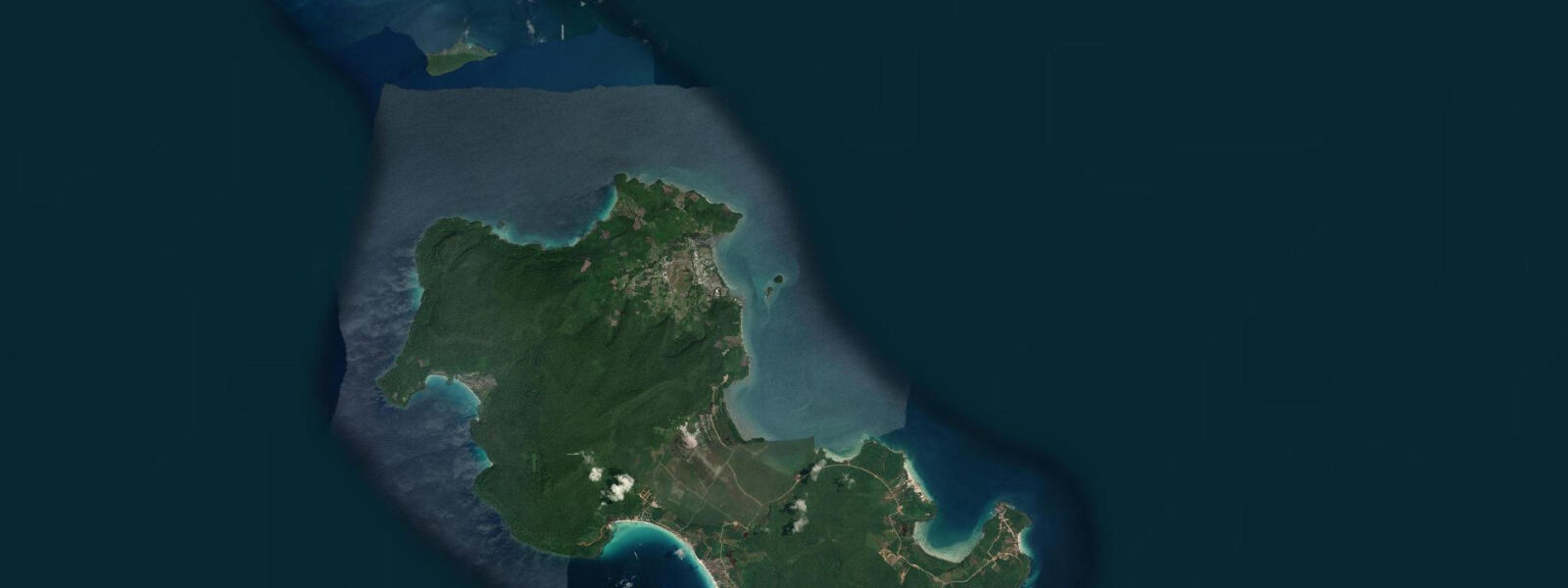
For the ferry operations to Koh Rong and Koh Rong Sanloem, departing from the main port pier in the city or from the smaller Ochheuteal pier, the tidal range is not the primary operational constraint. The port approach channel holds adequate depth across the full tidal range for fast ferries and moderate-size vessels. Speed-boat operators to the outer islands — Koh Tang, Koh Prins, the diving sites around Koh Condor — pay closer attention to sea state than to tidal timing: the southwest monsoon from May through October generates short, steep chop in the outer Gulf that makes small-boat crossings uncomfortable or unsafe regardless of tidal stage.
Ochheuteal Beach, the longest of the city beaches at roughly 2 km, faces south and southwest. The gentle sandy slope means the visible beach width changes with tidal stage, but the small Gulf range limits the swing to perhaps 15 to 20 m between a spring high and a spring low on the most semidiurnal days. Snorkelling and diving access off the city beaches is limited by water clarity, which is affected by port traffic and coastal runoff; most snorkelling and diving trips run out to the offshore islands. Shore fishing from the rocky points around the Sokha headland and the promontory north of Serendipity Beach is productive at low water when the reef shelf is accessible.
The city has changed substantially since the mid-2010s with significant Chinese investment in casino infrastructure. The waterfront strip between the port and Serendipity Beach is now a dense concentration of casino hotels, and the working character of the port remains alongside the tourism economy. Otres Beach, 4 km south of the city centre, has retained more of the quiet-beach character.
The predictions on this page come from Open-Meteo Marine, a gridded global ocean model; accuracy is typically within plus or minus 45 minutes on timing and 0.2 to 0.3 m on height. Given Sihanoukville's mixed diurnal regime and the relatively small total range, the height uncertainty is a meaningful fraction of the spring range. The Department of Meteorology, Hydrology and Hydrography of Cambodia (DMHH) is the national authority for tide data; for safety-critical marine activity in Cambodian Gulf waters, DMHH is the authoritative reference.
Tide questions about Sihanoukville
Quick answers to the most common questions about tide times, range, and water access at Sihanoukville.
When is the next high tide at Sihanoukville?
The hero block at the top of this page shows the next predicted high at Sihanoukville in local Indochina Time (ICT, UTC+7, no daylight saving). The mixed diurnal regime here means the pattern of highs and lows changes significantly across the year and the lunar cycle: on the most diurnal days (June to September) there may be only one recognisable high and one low in a 24-hour period; on the more semidiurnal days (November to February) two distinct highs and two lows appear in the curve. Checking the 7-day table helps identify which pattern applies on any given day. The Department of Meteorology, Hydrology and Hydrography of Cambodia (DMHH) is the national authority for tide and marine data in Cambodian waters.
What is the tide range at Sihanoukville?
Spring tidal range at Sihanoukville in the more semidiurnal months (roughly November through February) reaches approximately 1.0 to 1.2 m. During the southwest monsoon season (June through September), when the Gulf of Thailand's restricted geometry pushes the pattern toward diurnal, the effective daily range can compress to 0.6 to 0.8 m and the water level stays nearly flat for hours at a time. The smallest ranges occur around the quarter moons; the largest around new and full moons. This variability means the height of high water shifts significantly from one week to the next, and knowing the current lunar phase is genuinely useful for interpreting any tide prediction at Sihanoukville.
Does the tide affect ferry services to Koh Rong?
Not significantly for the main fast ferries. The catamarans and fast ferries from the port pier and the Ochheuteal pier to Koh Rong and Koh Rong Sanloem operate across the full tidal range — the approach channel holds adequate depth at all tidal stages for these vessels. Journey time is approximately 45 minutes by fast ferry and 2 to 2.5 hours by slow boat. The more relevant variable is sea state: the southwest monsoon from May through October produces short, steep Gulf chop that affects smaller speedboat services and the runs to the more exposed outer islands. Check the operator's conditions and forecasts before booking in the May-to-October window.
What is the best time of day to fish or snorkel around Sihanoukville?
For shore fishing from the rocky headlands around Sokha and Serendipity, the low-water period is most productive for accessing the exposed reef shelf — roughly one to two hours either side of the predicted low on days when the range is at least 0.8 m. For snorkelling, the main limiting factor at the city beaches is water clarity rather than tidal stage; most productive snorkelling around Sihanoukville requires a boat trip to the offshore islands, where visibility reaches 10 to 20 m on calm days. The change-of-tide slack window — 30 to 45 minutes either side of the predicted high or low — generally gives the clearest in-water conditions at offshore reef sites.
Where do these tide predictions come from?
Open-Meteo Marine, a gridded global ocean model. The model estimates tidal height from oceanographic equations applied across a geographic grid rather than from harmonic analysis of a dedicated Gulf of Thailand gauge at Sihanoukville. Accuracy is typically within plus or minus 45 minutes on timing and 0.2 to 0.3 m on height. At Sihanoukville, where the spring range is only 1.0 to 1.2 m and the pattern shifts between diurnal and semidiurnal across the year, that uncertainty is a meaningful fraction of the total signal. For authoritative Cambodian tide data, contact the Department of Meteorology, Hydrology and Hydrography of Cambodia (DMHH).
8-day tide table — Sihanoukville
Heights relative to MSL. Predictions: Open-Meteo Marine (MeteoFrance SMOC, 0.08° grid) — heights relative to MSL (not chart datum / LAT). Model-derived.
| Day | Type | Time | Height |
|---|---|---|---|
| Sun 21 Jun | High | 07:00 | 0.4m |
| Low | 10:10 | 0.2m | |
| High | 18:50 | 0.7m | |
| Low | 22:10 | 0.7m | |
| Mon 22 Jun | High | 01:00 | 0.7m |
| Low | 10:15 | 0.3m | |
| Tue 23 Jun | — | ||
| Wed 24 Jun | — | ||
| Thu 25 Jun | High | 18:00 | 0.9m |
| Fri 26 Jun | Low | 04:10 | 0.3m |
| High | 18:50 | 0.9m | |
| Sat 27 Jun | — | ||
| Sun 28 Jun | Low | 05:10 | 0.2m |