Otres Beach tide times
Otres Beach tide forecast — heights relative to MSL.
Today's tide times for Otres Beach
Tide times at Otres Beach on Sunday, 21 June 2026: first high tide at 07:00am, first low tide at 10:10am, second high tide at 06:54pm. Sunrise 05:45am, sunset 06:29pm.
Tide chart for Otres Beach
24-hour cosine-interpolated curve around the present moment. Heights relative to MSL. Predictions: Predictions: Open-Meteo Marine (MeteoFrance SMOC, 0.08° grid).
Sun, moon and conditions on Sun 21 Jun
Snapshot at build time — refreshes daily. Sea state from Open-Meteo Marine.
Highs and lows next 7 days
Every predicted high and low for the next week, with the daily tidal coefficient (0–120; higher = bigger swing, > 95 means stronger currents).
Other spots nearby
The three closest curated TideTurtle locations to Otres Beach, measured by great-circle distance.
Today's solunar windows
Solunar tradition: major periods are the ≈3h windows around moon transit and opposition; minor are ≈2h around moonrise and moonset. Pair with the local tide stage and wind for the best read.
About tides at Otres Beach
A short guide to the coastline at Otres Beach — geography, sea state, and what the tide is actually doing under your feet.
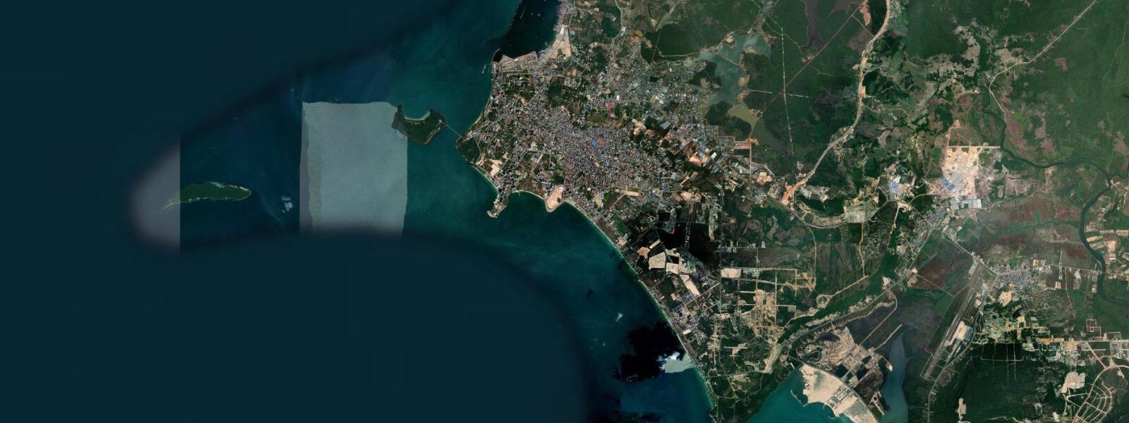
Otres Beach sits 4 km south of Sihanoukville city centre, separated from the busier Ochheuteal and Serendipity beaches by the Otres River mouth and a stretch of road through Otres village. The beach runs roughly 2 km from north to south, facing southwest into the Gulf of Thailand, and is divided into two sections — Otres 1 (the northern section, closest to the river mouth) and Otres 2 (the southern section, quieter and with less accommodation density) — by the shallow tidal channel where the Otres River meets the sea.
The tidal regime at Otres is the same mixed diurnal Gulf of Thailand pattern as Sihanoukville 4 km to the north. Spring range on the more semidiurnal days (November through February) reaches approximately 1.0 to 1.2 m; during the southwest monsoon months (June through September) the pattern shifts toward diurnal and the effective range compresses to 0.6 to 0.8 m. The beach faces southwest: the Gulf fetch from this direction is moderate, and in the November-to-April northeast monsoon season the coast is sheltered. During the southwest monsoon (May through October), prevailing winds generate a short choppy swell that affects swimming comfort and can temporarily close the beach to casual bathers.
The Otres River mouth divides the beach at its northern end. At high water the crossing channel is typically knee-to-waist deep and about 5 to 10 m wide; at low tide the water shallows considerably and most people wade across on exposed sand. This low-water crossing is the standard method of moving between Otres 1 and Otres 2 on foot. At spring high water the crossing is deeper; after heavy rain the river level rises independently of tidal stage and can make the crossing uncomfortable for a short period. Some guesthouses operate small boat shuttles. Tuk-tuks and motorbikes take the road route around the river mouth when needed.
The sandy gradient at Otres is gentle, typical of Gulf of Thailand beaches in sheltered bays. The visible beach width between spring high water and spring low water on the most semidiurnal days is 15 to 25 m — enough to expose a wide flat of firm sand good for early-morning walking. At low water in the dry season, Otres 2 in particular has a quiet character: the beach is widest, the light is low, and the water is flat.
The rocky point at the southern end of Otres 2, beyond the last guesthouses, is a productive shore-fishing location. Low water exposes a broad reef shelf around the point that is unreachable or submerged at spring high. Rod and line fishing from this point for snapper, grouper, and small reef species is productive at low-to-mid tide on the incoming flood. The shelf also makes for worthwhile snorkelling on calm days in the dry season — visibility is limited by Gulf conditions but adequate for reef-fish watching and the invertebrate fauna on the exposed limestone.
The guesthouses on Otres 2 are spaced more loosely than those on Otres 1, and the southern end of Otres 2 — beyond the last accommodation — is largely empty of infrastructure. This stretch of undeveloped beach is the most useful for an undisturbed early morning walk at low water, when the exposed sand flat extends the usable beach width and foot traffic is minimal before breakfast. Predictions on this page come from Open-Meteo Marine, a gridded global ocean model; accuracy is typically within plus or minus 45 minutes on timing and 0.2 to 0.3 m on height. At Otres Beach's small tidal range, the timing uncertainty is more significant than the height uncertainty for practical activity planning. The Department of Meteorology, Hydrology and Hydrography of Cambodia (DMHH) is the national authority for tide data in Cambodian waters.
Tide questions about Otres Beach
Quick answers to the most common questions about tide times, range, and water access at Otres Beach.
When is the next high tide at Otres Beach?
The hero block at the top of this page shows the next predicted high at Otres Beach in local Indochina Time (ICT, UTC+7, no daylight saving). Otres shares the Gulf of Thailand mixed diurnal pattern with Sihanoukville city 4 km to the north: two recognisable highs and lows per day in the November-to-February season, shifting toward a single daily rise and fall during the June-to-September monsoon window. Spring range on the more semidiurnal days is approximately 1.0 to 1.2 m; neap range is smaller. The Department of Meteorology, Hydrology and Hydrography of Cambodia (DMHH) is the national authority for Cambodian tide and marine data.
Can I walk between Otres 1 and Otres 2?
Yes, via the Otres River mouth channel. At low tide the crossing is shallow — typically ankle to knee depth over a 5 to 10 m wide sandy channel — and most people wade across or step across on exposed sand. At high water the channel deepens to roughly knee to waist depth; the crossing is still passable for most adults but wetter. After heavy rain the river level rises independently of tidal stage and can make the crossing uncomfortably deep or fast for a short period following the rain. Some guesthouses and restaurants on both sections have small boats that cross on request. Tuk-tuks and motorbikes use the road route around the river mouth when the crossing is not practical.
What is the best tide stage for shore fishing at the Otres rocky point?
The rocky point at the southern end of Otres 2 is most accessible and most productive at low to mid-incoming tide. The falling tide exposes the reef shelf around the point; the incoming flood then brings fish onto the shelf to feed, and the period from low water to roughly mid-flood — about two to three hours — is the traditional productive window for snapper and grouper from shore. The shelf is submerged or difficult to access safely at spring high water, particularly in the wet season when swell amplifies the wave wash on the rocks. Check both the tide prediction and the swell forecast before fishing the rocky point, and allow yourself time to exit the shelf before the flood advances.
Which way does Otres Beach face, and how does that affect conditions?
Otres Beach faces roughly southwest into the Gulf of Thailand. In the northeast monsoon season (November through April) the coast is in the lee of the prevailing wind and conditions are generally calm — flat water, good visibility for snorkelling, and comfortable swimming across the full range of tidal stages. During the southwest monsoon (May through October), prevailing winds blow onshore and generate short, steep Gulf chop; swimming becomes rougher and some days are not practical for casual bathers. The tidal pattern does not change between seasons, but the practical character of the beach changes substantially. The dry northeast season is significantly more comfortable than the wet southwest season for all water activities.
Where do these tide predictions come from?
Open-Meteo Marine, a gridded global ocean model. The model estimates tidal height from oceanographic equations applied to a geographic grid rather than from harmonic analysis of a dedicated gauge at Otres Beach. Accuracy is typically within plus or minus 45 minutes on timing and 0.2 to 0.3 m on height. At Otres, where the spring range is only 1.0 to 1.2 m, the height uncertainty is a meaningful fraction of the total signal. The timing uncertainty of up to 45 minutes matters most for planning around specific low-water windows at the rocky point. For authoritative Cambodian tide data, the Department of Meteorology, Hydrology and Hydrography of Cambodia (DMHH) is the national reference.
8-day tide table — Otres Beach
Heights relative to MSL. Predictions: Open-Meteo Marine (MeteoFrance SMOC, 0.08° grid) — heights relative to MSL (not chart datum / LAT). Model-derived.
| Day | Type | Time | Height |
|---|---|---|---|
| Sun 21 Jun | High | 07:00 | 0.5m |
| Low | 10:10 | 0.3m | |
| High | 18:54 | 0.7m | |
| Mon 22 Jun | Low | 10:10 | 0.3m |
| Tue 23 Jun | — | ||
| Wed 24 Jun | — | ||
| Thu 25 Jun | High | 17:50 | 0.9m |
| Fri 26 Jun | — | ||
| Sat 27 Jun | — | ||
| Sun 28 Jun | Low | 05:06 | 0.2m |