Varna Beach tide times
Varna Beach tide forecast — heights relative to MSL.
Tide chart for Varna Beach
24-hour cosine-interpolated curve around the present moment. Heights relative to MSL. Predictions: Predictions: Open-Meteo Marine (MeteoFrance SMOC, 0.08° grid).
Sun, moon and conditions on Sun 21 Jun
Snapshot at build time — refreshes daily. Sea state from Open-Meteo Marine.
Highs and lows next 7 days
Every predicted high and low for the next week, with the daily tidal coefficient (0–120; higher = bigger swing, > 95 means stronger currents).
Other spots nearby
The three closest curated TideTurtle locations to Varna Beach, measured by great-circle distance.
Today's solunar windows
Solunar tradition: major periods are the ≈3h windows around moon transit and opposition; minor are ≈2h around moonrise and moonset. Pair with the local tide stage and wind for the best read.
About tides at Varna Beach
A short guide to the coastline at Varna Beach — geography, sea state, and what the tide is actually doing under your feet.
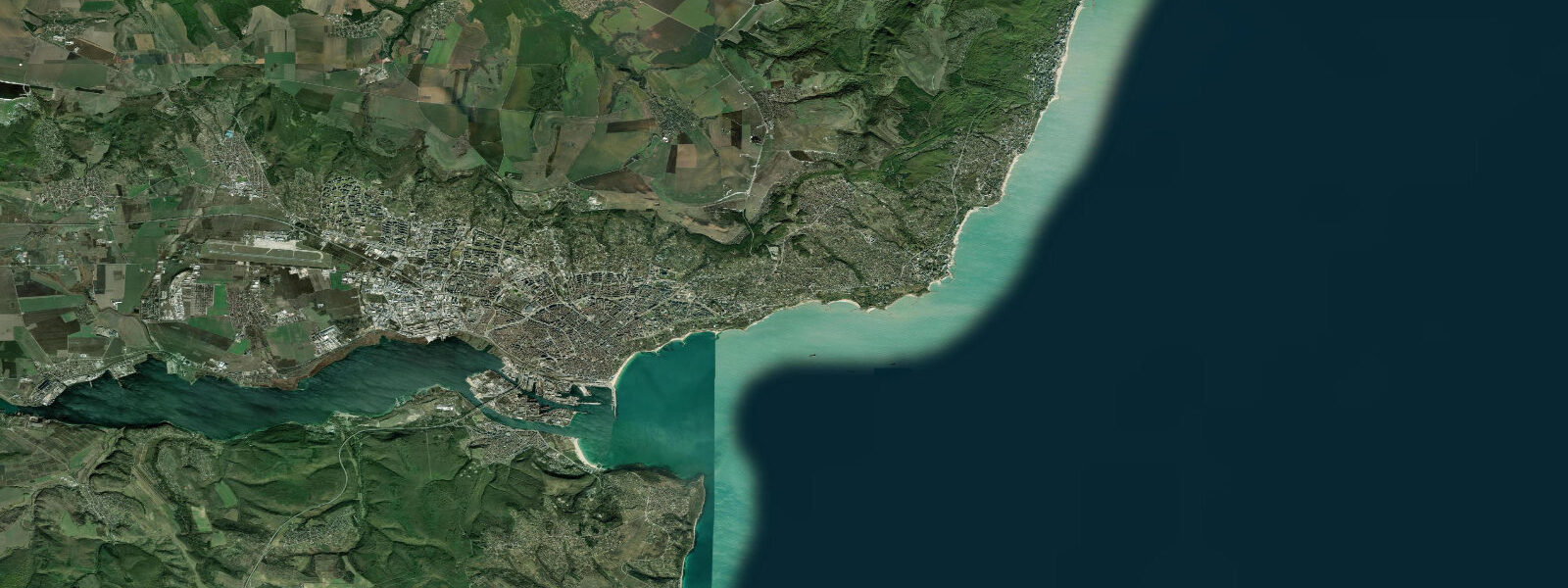
Varna is Bulgaria's third-largest city and the administrative and commercial capital of the Bulgarian Black Sea coast, positioned on a natural bay between Cape Galata to the north and the mouth of Lake Varna to the south. The city beach — a wide strip of fine to medium sand — extends along the bay north of the port, backed by the Sea Garden (Морска Градина), a nine-kilometre linear public park created in 1878 that runs the full length of the coastal front from the port entrance to the northern resort zone. The Sea Garden contains the Varna Aquarium (the oldest in Bulgaria, opened 1912), the Naval Museum, several outdoor restaurants and cafes, and an open-air theatre.
Access to the beach from the city centre is by tram (lines 1, 8, 409) to the Sea Garden stops and a short walk to the sand. The city itself has been inhabited continuously since the Neolithic period. The Varna Necropolis, discovered in 1972 during construction work near the port, yielded gold artefacts dated to approximately 4500 BCE — the oldest processed gold objects found anywhere in the world, now displayed in the Varna Museum of Archaeology on Bul.
Maria Louisa. The collection is small in display area but archaeologically extraordinary. The astronomical tidal range at Varna Beach is 5 to 15 centimetres.
This is not a quiet tidal coast — it is an essentially non-tidal coast. 7 kilometres wide at its narrowest), the Sea of Marmara, and the Dardanelles. That pathway is far too constricted and too long to transmit any meaningful tidal energy from the ocean into the Black Sea.
The difference between the predicted high and low water at Varna on a typical day is roughly the depth of a standard wine glass. Visitors from Atlantic or North Sea coasts — where a 3-metre spring tide is unremarkable — need to recalibrate. There is no intertidal zone.
No exposed rock shelf at low tide. No timing-dependent beach access. The beach does not look any different at high water versus low water.
What moves the sea level at Varna is meteorology. 0 metres above the mean. This setup has nothing to do with the moon; it is a direct wind stress effect on the enclosed sea surface.
During these events the water reaches further up the beach face and can occasionally overtop the lower beach promenade. NIMH (Национален институт по метеорология и хидрология — National Institute of Meteorology and Hydrology) Bulgaria publishes sea-level data for the Varna gauge and is the authoritative source for water-level planning on this coast. Black Sea water temperature at Varna reaches 24 to 26°C in August; the beach season runs reliably from June through September.
Water clarity in the outer bay, away from the port entrance, is good in calm conditions — 3 to 5 metres of horizontal visibility over the sandy bottom. The port entrance traffic includes container vessels using the commercial quays and the Varna Ferry Terminal; beach users should be aware of vessel wash near the port approach. Shore anglers fish the northern breakwaters and the open beach for horse mackerel (Trachurus trachurus), turbot (Scophthalmus maximus), and the occasional grey mullet (Mugil cephalus).
NIMH sea-level anomaly data and the Black Sea storm-surge forecast are more relevant planning tools for water-level-dependent activities here than the tide table. Predictions on this page come from Open-Meteo Marine, a gridded global ocean model. 3 metres far exceeds the tidal signal itself.
Treat the predicted highs and lows here as largely symbolic; weather-driven sea-level variation is what matters.
Tide questions about Varna Beach
Quick answers to the most common questions about tide times, range, and water access at Varna Beach.
When is the next high tide at Varna?
The hero block shows the next predicted high at Varna in local Eastern European Time (EET/EEST, UTC+2/UTC+3). The Black Sea astronomical tidal range at Varna is 5 to 15 centimetres — the difference between predicted high and low is roughly the height of two stacked euro coins. The labels 'high' and 'low' describe an extremely small water-level difference that has no practical impact on beach width, water access, or any coastal activity. What moves sea level at Varna is wind: a sustained north-easterly (bielan) can raise the water 0.3 to 1.0 metres above the mean. NIMH (National Institute of Meteorology and Hydrology) Bulgaria publishes authoritative sea-level and storm-surge data for the Varna gauge.
Why is there essentially no tide on the Bulgarian Black Sea coast?
The Black Sea is almost entirely enclosed. Its only connection to the world ocean runs through the Bosphorus Strait (31 kilometres long, under one kilometre wide at its narrowest point), the Sea of Marmara, and the Dardanelles. That pathway is far too narrow and too long to transmit any meaningful fraction of the Atlantic or Mediterranean tidal energy into the Black Sea. The astronomical tidal range throughout the Black Sea is 5 to 15 centimetres — essentially the background noise of ocean physics. The sea generates a tiny internal tide, but it is swamped by even moderate meteorological forcing. This is the same principle that makes the Baltic Sea nearly non-tidal: enclosed seas simply cannot sustain the resonance that amplifies tides in open ocean basins and on wide continental shelves.
What is the Varna Necropolis and where can I see the gold?
The Varna Chalcolithic Necropolis was discovered accidentally in 1972 during excavation for a cable factory near the port. The cemetery, dating to approximately 4500 BCE, contained over 310 graves with extraordinary grave goods, including gold artefacts processed into sheets, beads, and ornaments with a sophistication that predates comparable goldworking elsewhere in the world by several centuries. The collection is displayed in the Varna Museum of Archaeology (Varna Archaeological Museum) on Bul. Maria Louisa in the city centre. The museum is open Tuesday through Sunday; the Chalcolithic Gold Hall is a dedicated room within the museum. The physical collection is small in floor area but the density of significance per square metre is high. Entry fee is approximately 10 BGN (around 5 euros).
What is the Sea Garden and how do I access the beach from it?
The Sea Garden (Морска Градина) is a nine-kilometre linear public park that runs the full length of Varna's coastal front from the port to the northern resort zone. Created in 1878, the park contains the Varna Aquarium, the Naval Museum, the open-air Summer Theatre, cafes, and access ramps to the beach below. The beach itself is a wide strip of fine-to-medium sand backed directly by the park. From the city centre, tram lines 1, 8, and 409 stop at multiple Sea Garden access points; the walk from the tram stop to the sand is under five minutes. The beach is managed as a public facility with concession areas (sunbeds, umbrellas) interspersed with free access zones. In July and August the beach is busy from 09:00 to 19:00; early morning access before 08:30 gives the full beach width without crowds.
Where do these tide predictions come from?
Open-Meteo Marine, a free gridded global ocean model. For the Black Sea, where the astronomical tidal range is only 5 to 15 centimetres, the model's standard accuracy range — typically plus or minus 45 minutes on timing and 0.2 to 0.3 metres on height — substantially exceeds the total tidal signal. The predicted highs and lows on this page are approximate in the extreme. NIMH (National Institute of Meteorology and Hydrology) Bulgaria is the authoritative source for sea-level and storm-surge data at Varna; their Varna gauge data and the Black Sea storm-surge forecast are the appropriate tools for any activity that depends on actual water level at the coast.
7-day tide table — Varna Beach
Heights relative to MSL. Predictions: Open-Meteo Marine (MeteoFrance SMOC, 0.08° grid) — heights relative to MSL (not chart datum / LAT). Model-derived.
| Day | Type | Time | Height |
|---|---|---|---|
| Sun 21 Jun | — | ||
| Mon 22 Jun | — | ||
| Tue 23 Jun | — | ||
| Wed 24 Jun | — | ||
| Thu 25 Jun | Low | 06:00 | -0.5m |
| Fri 26 Jun | — | ||
| Sat 27 Jun | High | 15:00 | -0.3m |