Golden Sands tide times
Golden Sands tide forecast — heights relative to MSL.
Tide chart for Golden Sands
24-hour cosine-interpolated curve around the present moment. Heights relative to MSL. Predictions: Predictions: Open-Meteo Marine (MeteoFrance SMOC, 0.08° grid).
Sun, moon and conditions on Sun 21 Jun
Snapshot at build time — refreshes daily. Sea state from Open-Meteo Marine.
Highs and lows next 7 days
Every predicted high and low for the next week, with the daily tidal coefficient (0–120; higher = bigger swing, > 95 means stronger currents).
Other spots nearby
The three closest curated TideTurtle locations to Golden Sands, measured by great-circle distance.
Today's solunar windows
Solunar tradition: major periods are the ≈3h windows around moon transit and opposition; minor are ≈2h around moonrise and moonset. Pair with the local tide stage and wind for the best read.
About tides at Golden Sands
A short guide to the coastline at Golden Sands — geography, sea state, and what the tide is actually doing under your feet.
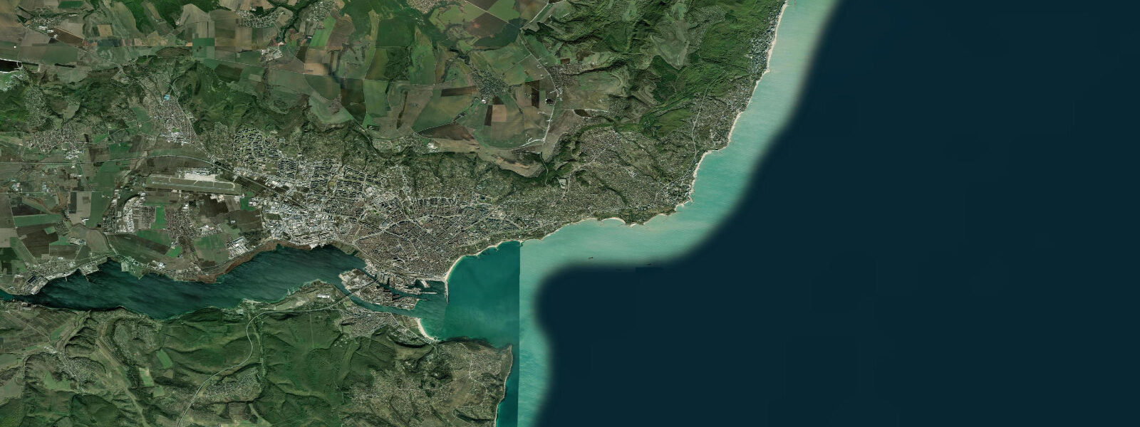
Golden Sands — Zlatni Pyasatsi in Bulgarian — is Bulgaria's most intensively developed Black Sea resort, 17 kilometres north of Varna along the coastal road. 5 kilometres along a beach of fine golden sand between the sea and a wooded hillside, with nearly continuous hotel, apartment, and entertainment development filling the strip from the road to the shoreline. The beach is the widest and finest-grained on the northern Bulgarian Black Sea coast; the sand colour and texture that named the resort remain the defining characteristic.
The western forested hills (part of the Zlatni Pyasatsi Nature Park — a protected area covering 1,340 hectares despite the resort at its foot) give the backdrop a green quality that the southern resort zones, flanked by more open karst, lack. Development at Golden Sands began in earnest in the 1950s under the socialist government, which built the first large hotel complexes to serve Bloc-country holidaymakers; the physical infrastructure reflects that founding period in its scale and uniformity. Today the resort draws primarily domestic Bulgarian tourists supplemented by visitors from Germany, Romania, Russia, Ukraine, and Poland.
The tidal regime at Golden Sands is the same as throughout the Bulgarian Black Sea: astronomical range 5 to 15 centimetres — negligible by any practical standard. The sea surface at the beach changes height by the depth of a coffee cup between predicted high and low water. There is no intertidal zone, no timing-dependent beach access, and no meaningful tidal current along the open shore.
What actually varies the sea level here is wind. 8 metres above the mean over a sustained two-to-three-day event; during these conditions the waves increase significantly and the beach face narrows as the elevated water reaches further up the sand. The opposite effect occurs during south-westerly winds, which drive the water surface toward the eastern Black Sea coast and briefly lower the level at Golden Sands.
NIMH (Национален институт по метеорология и хидрология) Bulgaria is the authoritative source for sea-level and storm-surge data on the Bulgarian coast; their Varna gauge (17 kilometres south) serves as the reference for the Golden Sands area. The beach faces east-south-east, which means the morning sun illuminates the full beach face from sunrise until roughly 11:00 before the angle sharpens; the afternoon light is from behind the beach, which makes the afternoon sea photography from the water end looking back at the resort more interesting than the reverse. The prevailing summer wind is the bielan from the north-east, which produces a slight cross-shore orientation and, in moderate strength, creates chop on the water surface without generating significant shore-break on the east-facing beach.
Conditions for swimming are generally calm in the morning and increase through the afternoon as the sea breeze develops. Standard resort beach concessions operate from June through September: sunbeds, umbrellas, jet ski and banana boat rental, and water sports instruction. The public beach access sections between the concession areas are legally required to be unobstructed.
The nature park above the resort contains walking trails through mixed oak and hornbeam forest; the contrast between the dense resort strip at the coast and the quiet forest 200 metres upslope is abrupt. Predictions on this page come from Open-Meteo Marine, a gridded global ocean model. For the Black Sea's 5-to-15-centimetre astronomical range, the model's accuracy envelope is orders of magnitude larger than the tidal signal; treat the high and low predictions as indicative rather than precise.
Tide questions about Golden Sands
Quick answers to the most common questions about tide times, range, and water access at Golden Sands.
When is the next high tide at Golden Sands?
The hero block shows the next predicted high at Golden Sands in local Eastern European Time (EET/EEST, UTC+2/UTC+3). The Black Sea astronomical tidal range here is 5 to 15 centimetres — no practical difference between high and low water at the beach. The predicted high and low labels describe a water-level change smaller than the normal wave runup on a calm day. What varies sea level at Golden Sands is wind: the bielan (north-easterly) can raise the level 0.3 to 0.8 metres, the south-westerly lowers it. NIMH Bulgaria publishes authoritative sea-level data for the Varna gauge (17 km south), which serves as the reference for this stretch of coast.
What is the Zlatni Pyasatsi Nature Park and can I walk in it?
The Zlatni Pyasatsi Nature Park covers 1,340 hectares of forested hill directly behind and above the Golden Sands resort. The park is protected under Bulgarian law and contains mixed oak, hornbeam, and lime forest with several marked walking trails accessible from the resort's back streets. The park boundary abuts the rear of the hotel zone; the transition from beach umbrella to forest path takes under 10 minutes on foot. Trail maps are available at the resort information points. The park is also an Important Bird Area on the Via Pontica migration route; the forest and the coastal scrub at the park boundary support a range of passerine and raptor species during the spring and autumn migration windows.
What sea conditions should I expect for swimming at Golden Sands?
Golden Sands beach faces east-south-east and is generally calm in summer. The dominant wind is the bielan (north-easterly), which produces cross-beach chop rather than shore-break in moderate strength, giving the sea a choppy surface texture without significant waves at the shoreline. In strong bielan conditions (wind above 20 knots running for more than a day) wave height at the beach can reach 0.5 to 1.5 metres and swimming advisories are posted. Calm periods — typically early morning and after wind drops in late afternoon — give the flattest water. Black Sea water temperature peaks at 24 to 26°C in August. The Black Sea has lower salinity than the Mediterranean (approximately 18 parts per thousand vs. 38) due to large river inflows; this reduces buoyancy slightly compared to a typical sea swim.
Is the beach at Golden Sands public or private?
Bulgarian law requires that all sea beaches remain public; no beach in Bulgaria can be fully private. In practice, the major resort beaches including Golden Sands have large concession areas operated by the adjacent hotels and beach operators, covering a substantial fraction of the beach width and length with sunbed and umbrella rental. Between these concession zones the law requires free public access lanes. The public sections are often narrower and less well maintained than the concession areas; arriving before 09:00 allows access to the full beach width before the concession equipment is laid out. The beach is accessible from multiple points along the resort road.
Where do these tide predictions come from?
Open-Meteo Marine, a free gridded global ocean model. For the Black Sea, where the astronomical range is only 5 to 15 centimetres, the model's accuracy envelope — typically plus or minus 45 minutes on timing and 0.2 to 0.3 metres on height — is an order of magnitude larger than the tidal signal itself. The predicted high and low times and heights on this page are approximate. NIMH (National Institute of Meteorology and Hydrology) Bulgaria operates the Varna gauge and publishes sea-level and storm-surge forecasts for the northern Bulgarian coast; their data is the appropriate planning tool for any activity that depends on actual water level.
0-day tide table — Golden Sands
Heights relative to MSL. Predictions: Open-Meteo Marine (MeteoFrance SMOC, 0.08° grid) — heights relative to MSL (not chart datum / LAT). Model-derived.
| Day | Type | Time | Height |
|---|