Kavarna tide times
Kavarna tide forecast — heights relative to MSL.
Today's tide times for Kavarna
Tide times at Kavarna on Saturday, 4 July 2026: first low tide at 10:00am, first high tide at 05:10pm. Sunrise 05:30am, sunset 08:50pm.
Tide chart for Kavarna
24-hour cosine-interpolated curve around the present moment. Heights relative to MSL. Predictions: Predictions: Open-Meteo Marine (MeteoFrance SMOC, 0.08° grid).
Sun, moon and conditions on Sat 04 Jul
Snapshot at build time — refreshes daily. Sea state from Open-Meteo Marine.
Highs and lows next 7 days
Every predicted high and low for the next week, with the daily tidal coefficient (0–120; higher = bigger swing, > 95 means stronger currents).
Other spots nearby
The three closest curated TideTurtle locations to Kavarna, measured by great-circle distance.
Today's solunar windows
Solunar tradition: major periods are the ≈3h windows around moon transit and opposition; minor are ≈2h around moonrise and moonset. Pair with the local tide stage and wind for the best read.
About tides at Kavarna
A short guide to the coastline at Kavarna — geography, sea state, and what the tide is actually doing under your feet.
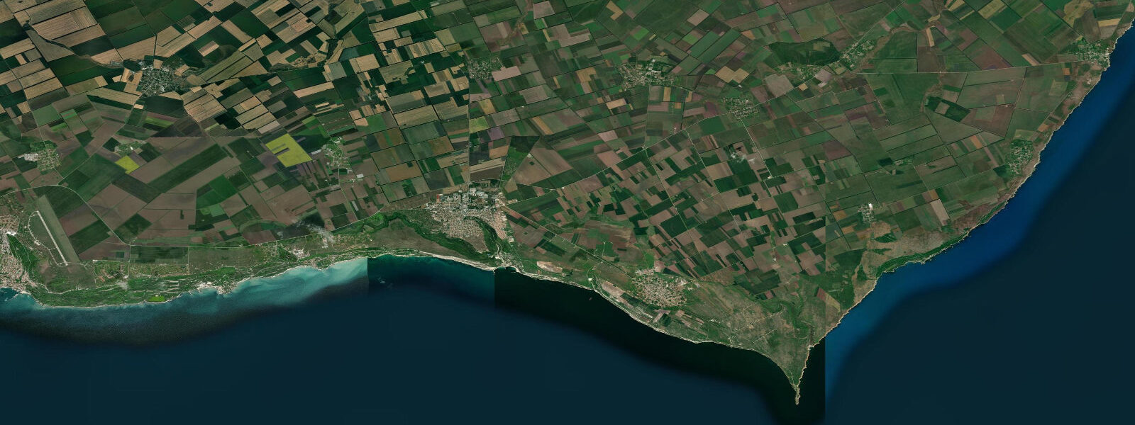
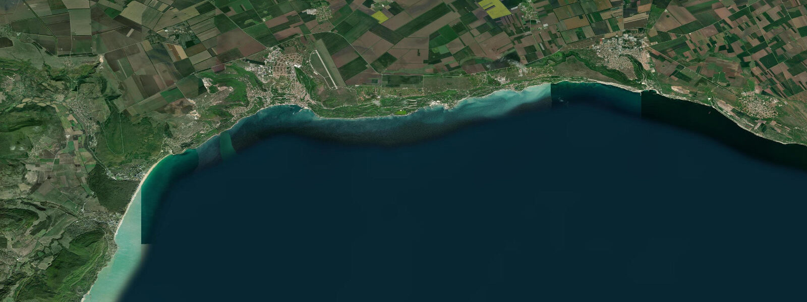
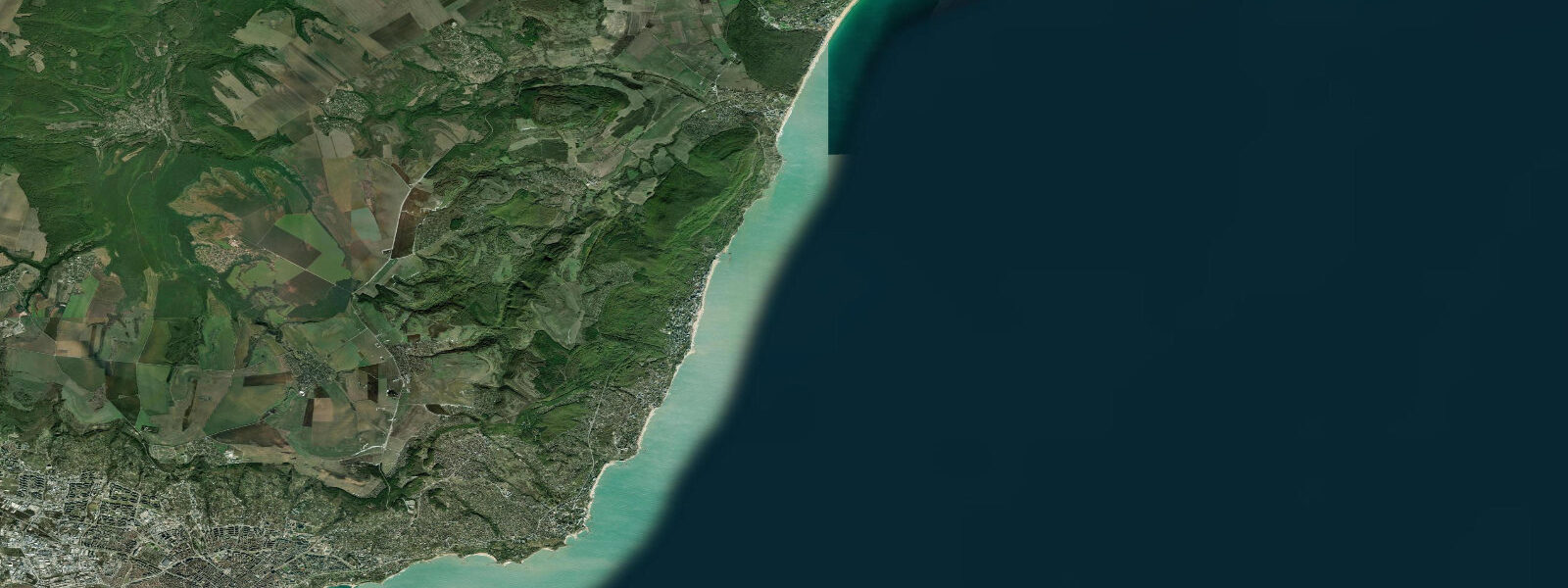
Kavarna is the main town of Bulgaria's northernmost Black Sea coast, 60 km north of Varna, and its associated Cape Kaliakra is the most dramatic headland on the Bulgarian Black Sea — a 70 m limestone promontory projecting 2 km into the sea on a narrow blade of cliff, the vertical faces dropping to the water on both sides. The cape has been occupied since Thracian times: the fortress of Tiyrizis on the cape held out against multiple invaders, and the remains of a Byzantine fortress and a mosque testify to the subsequent occupation layers. A small archaeological museum at the cape entrance exhibits finds from several excavation campaigns. Kaliakra means 'beautiful promontory' in a Thracian-era derivation, and the name is apt — the cliff geometry, the sea views in three directions, and the colony of long-nosed bats (Rhinolophus ferruequinum) in the cave systems below the fortress make Kaliakra one of the more memorable short walks on the Black Sea coast.
The Kaliakra headland also marks the northern limit of the last surviving Black Sea monk seal (Monachus monachus) haul-out sites in Bulgarian waters. Seal sightings from the cliff top are irregular but documented — the population is critically small, and the individuals that use the Kaliakra cave systems are among the most northerly in the Black Sea. Dolphin sightings from the cape are more reliable: common dolphin (Delphinus delphis) and bottlenose dolphin (Tursiops truncatus) both feed in the offshore zone, and the current upwelling effect around the cape's geometric projection into the flow concentrates fish.
Kavarna town has a beach, a small harbour, and the infrastructure of a secondary Bulgarian resort. The connection to rock music — Kavarna hosted the Kaliakra Rock Fest, which at its peak in the 2000s drew international headliners including AC/DC, Whitesnake, and Motorhead to the clifftop venue above the Black Sea — has faded with the festival's decline, but the identity persists and is marketed.
The Black Sea at Kavarna is microtidal: mean astronomical range 0.1 to 0.3 m. The tidal signal across the entire Bulgarian and Romanian coast is near-zero due to the Black Sea's limited exchange with the Mediterranean. What governs water-level conditions here, as everywhere on this coast, is wind. Northerly winds drive water level down; southerlies raise it. Storm surges during the autumn and winter Black Sea storms produce events of 0.5 to 1.0 m that are entirely unrelated to the astronomical tide and that matter for the cliff-base access paths below Kaliakra. Shore anglers fish the Kaliakra cliff base (accessible by a rough path down from the museum) for sea bass and mullet; the access requires the sea to be calm, and tide state is less important than wave height.
The wine region behind Kavarna — the northeastern Bulgarian wine country of the Varna and Shumen provinces — produces the Chardonnay and Pinot Noir that appear on the menus of the coast's restaurants. The wine country is 20 to 40 km inland from Kavarna.
Predictions on this page come from Open-Meteo Marine, a gridded global ocean model. At the 0.1 to 0.3 m astronomical range of this coast, the model's typical accuracy (plus or minus 45 minutes, 0.2 to 0.3 m) equals the full signal. The Bulgarian Hydrographic Service operates gauges at Varna and Balchik and publishes the authoritative sea-level data for this stretch.
Tide questions about Kavarna
Quick answers to the most common questions about tide times, range, and water access at Kavarna.
When is the next high tide at Kavarna?
The hero block at the top of this page shows the next predicted high at Kavarna in local Eastern European Time (EET/EEST, UTC+2/UTC+3). Astronomical tide range is 0.1 to 0.3 m — near-zero across the Bulgarian Black Sea coast. Water-level conditions at Kavarna and Cape Kaliakra are set by wind and weather. The Bulgarian Hydrographic Service operates gauges at Varna and Balchik and publishes the authoritative sea-level and storm-surge data for this coastline.
What is the tidal range at Kavarna?
Mean astronomical range is 0.1 to 0.3 m — characteristic of the entire enclosed Black Sea. Autumn and winter storms produce surge events of 0.5 to 1.0 m unrelated to the tide. For the cliff-base access paths at Kaliakra, wave height from storm swells is the relevant variable, not the tide. Summer Black Sea conditions are calmer; even on summer days, wind direction drives the dominant water-level signal here.
Where do these tide predictions come from?
Open-Meteo Marine, a free gridded global ocean model. At the Bulgarian Black Sea coast's 0.1 to 0.3 m range, the model uncertainty (plus or minus 45 minutes, 0.2 to 0.3 m) equals the full tidal signal. The predictions are most useful as a rhythm reference. For authoritative sea-level data, the Bulgarian Hydrographic Service operates gauges at Varna and Balchik — both within 60 km of Kavarna.
Is Cape Kaliakra accessible and what is the best way to visit?
Cape Kaliakra is accessible by car from Kavarna via a well-signed road (20 km, mostly surfaced). A small entry fee is charged at the gate near the museum. The paved path runs 800 m along the spine of the cape to the cliff-edge viewpoint; the full circuit takes 45 minutes at a comfortable pace. The cliff-base path, which gives access to the sea level and the cave entrances, requires care — it is steep and crumbling in places, and the traverse is inadvisable in wet weather or with significant wave action. Dolphin watching from the clifftop is most productive in the early morning before tourist traffic; bring binoculars.
Is this safe to use for navigation?
No. TideTurtle is a planning tool for recreational coastal activity, not a navigation resource. Cape Kaliakra projects 2 km into the Black Sea and creates tidal and current effects on its flanks; the cape must be given a safe offing by coastal vessels. Bulgarian Hydrographic Service charts and the relevant Notices to Mariners are the authoritative navigation sources for this stretch of the Black Sea. Open-Meteo Marine gridded predictions do not replace authoritative navigation sources.
8-day tide table — Kavarna
Heights relative to MSL. Predictions: Open-Meteo Marine (MeteoFrance SMOC, 0.08° grid) — heights relative to MSL (not chart datum / LAT). Model-derived.
| Day | Type | Time | Height |
|---|---|---|---|
| Sat 04 Jul | Low | 10:00 | -0.4m |
| High | 17:10 | -0.3m | |
| Sun 05 Jul | — | ||
| Mon 06 Jul | — | ||
| Tue 07 Jul | — | ||
| Wed 08 Jul | — | ||
| Thu 09 Jul | — | ||
| Fri 10 Jul | — | ||
| Sat 11 Jul | Low | 02:00 | -0.4m |