Balchik tide times
Balchik tide forecast — heights relative to MSL.
Tide chart for Balchik
24-hour cosine-interpolated curve around the present moment. Heights relative to MSL. Predictions: Predictions: Open-Meteo Marine (MeteoFrance SMOC, 0.08° grid).
Sun, moon and conditions on Sun 21 Jun
Snapshot at build time — refreshes daily. Sea state from Open-Meteo Marine.
Highs and lows next 7 days
Every predicted high and low for the next week, with the daily tidal coefficient (0–120; higher = bigger swing, > 95 means stronger currents).
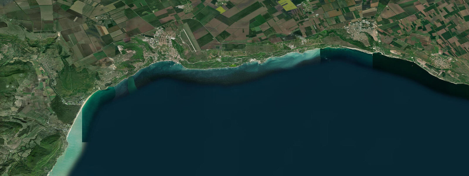
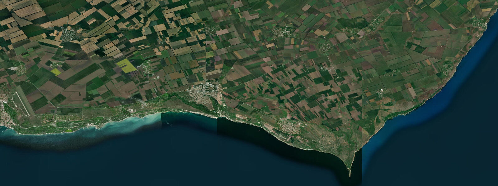
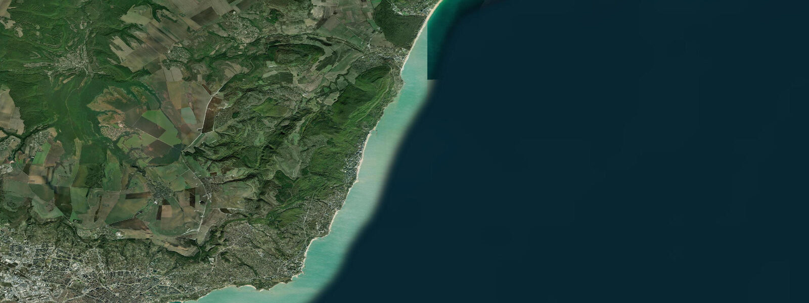
Other spots nearby
The three closest curated TideTurtle locations to Balchik, measured by great-circle distance.
Today's solunar windows
Solunar tradition: major periods are the ≈3h windows around moon transit and opposition; minor are ≈2h around moonrise and moonset. Pair with the local tide stage and wind for the best read.
About tides at Balchik
A short guide to the coastline at Balchik — geography, sea state, and what the tide is actually doing under your feet.
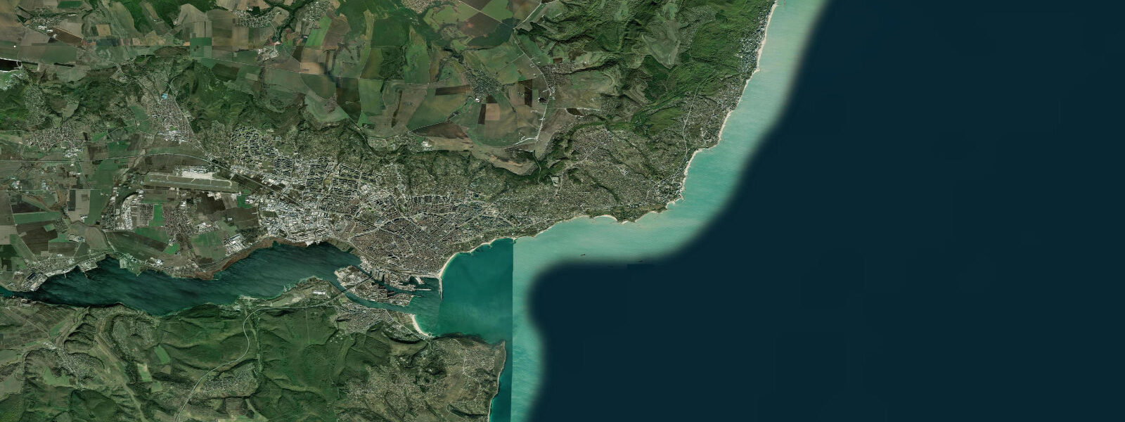
Balchik is a small coastal town 40 kilometres north of Varna on a dramatic stretch of the Bulgarian Black Sea coast where the plateau of the Dobruja region breaks off in chalky-white cliffs above the sea. The cliffs are soft limestone and chalk, eroding visibly on a decade-to-decade timescale; the town's architecture steps down the cliff face in terraces, with the lower town and small harbour at sea level and the residential streets climbing the cliff above. The harbour handles a small fleet of fishing vessels and a few leisure craft; the quay is accessible by foot from the town centre and gives a view of the cliff face from sea level that is not available from the clifftop road above.
Two things bring most visitors to Balchik beyond its position as a quieter alternative to the large resort zones: the Palace of Queen Marie and the Botanical Garden of Balchik. Queen Marie of Romania — the granddaughter of Queen Victoria, married into the Romanian royal house — built a summer residence at Balchik between 1924 and 1931 on a terrace cut into the cliff above the sea. The complex, known as the Quiet Nest (Tiho Gnezdo), consists of a small white throne room building with a Moorish-influenced tower, a series of terraced gardens, and subsidiary buildings cascading down to the shoreline.
At the time of construction, Balchik was in Romanian territory (the southern Dobruja was ceded to Romania in 1913); it was returned to Bulgaria in 1940 under the Treaty of Craiova. The palace buildings are now a state museum; the throne room and several of the smaller pavilions are open to visitors year-round. The Botanical Garden of Balchik was established in the 1950s, occupying and expanding the terraced gardens the Romanian royal household created around the palace.
The garden covers approximately 65 hectares, making it the largest botanical garden in Bulgaria. The terraced layout follows the cliff contour down toward the sea; different sections hold Mediterranean flora, succulent and cactus collections, a rose garden, a water garden, and a notable collection of native Bulgarian coastal plants. The botanical garden is directly adjacent to the palace complex and the two are usually visited together; combined entry is available at the gate.
The tidal regime at Balchik is the same as throughout the Bulgarian Black Sea: astronomical range 5 to 15 centimetres — entirely negligible for any practical purpose. The water level at Balchik is driven by wind and atmospheric pressure, not the moon. 6 metres above mean during a strong event.
The chalky cliffs are the most visible geomorphological feature and create the occasional collapse of loose cliff material into the sea; the base of the cliffs should be avoided during and after heavy rain. Shore fishing from the breakwater below the old town is a long-standing local practice; the target species are horse mackerel (Trachurus trachurus), bream, and mullet. The Black Sea water temperature off Balchik reaches 23 to 25°C in August; the water clarity in the outer bay, away from the cliff-erosion zone immediately below the chalk face, runs 3 to 6 metres in calm conditions.
NIMH (Национален институт по метеорология и хидрология) Bulgaria publishes sea-level and storm-surge data for the Bulgarian coast; the Varna gauge (40 kilometres south) is the nearest reference point. Predictions on this page come from Open-Meteo Marine, a gridded global ocean model. For the Black Sea's 5-to-15-centimetre astronomical range, the model's accuracy margin far exceeds the tidal signal; the high and low predictions here are indicative only, and weather-driven sea-level anomalies are the relevant planning input.
Tide questions about Balchik
Quick answers to the most common questions about tide times, range, and water access at Balchik.
When is the next high tide at Balchik?
The hero block shows the next predicted high at Balchik in local Eastern European Time (EET/EEST, UTC+2/UTC+3). The Black Sea astronomical tidal range at Balchik is 5 to 15 centimetres — a difference so small it has no practical effect on beach access, harbour operations, or any coastal activity. What changes water level here is wind: the bielan (north-easterly) can raise the sea 0.3 to 0.6 metres above the mean in a sustained event. NIMH Bulgaria (National Institute of Meteorology and Hydrology) publishes the authoritative sea-level and storm-surge data for the Bulgarian coast; the nearest gauge is at Varna, 40 kilometres south.
Who was Queen Marie and why did she build at Balchik?
Queen Marie of Romania (1875–1938) was the granddaughter of both Queen Victoria and Tsar Alexander II of Russia, married to King Ferdinand I of Romania. She was a significant political figure during and after World War One, leading Romania's delegation at the Paris Peace Conference in 1919. She chose Balchik for her summer retreat in 1924, partly for its remoteness and partly because the southern Dobruja region — then Romanian territory — gave her a Black Sea coastal property without the formality of the main Romanian court. The palace complex she built between 1924 and 1931, called Tiho Gnezdo (Quiet Nest), blended Moorish, Byzantine, and regional architectural elements. Balchik and the surrounding Dobruja was ceded back to Bulgaria in 1940 under the Treaty of Craiova; the palace became a Bulgarian state property and is now a museum open to visitors.
How large is the Botanical Garden and what is in it?
The Botanical Garden of Balchik covers approximately 65 hectares on the terraced cliff face and the plateau above, making it the largest botanical garden in Bulgaria. The garden was established in the 1950s on the grounds the Romanian royal household had begun developing around the Queen Marie palace. The collection is organised across several themed sections: a Mediterranean zone with olive, fig, and citrus; a large cactus and succulent house; a rose garden; an ornamental water garden; and extensive plantings of native Bulgarian coastal flora. The terraced layout follows the natural cliff contour; walking the full garden involves significant elevation change. Peak flowering season is May through July for most collections. Entry includes access to both the garden and the Queen Marie palace complex.
Are the chalk cliffs safe to walk beneath?
The Balchik chalk and limestone cliffs are actively eroding — visible as a rough, fractured face with occasional fresh fall debris at the base. The erosion rate is slow in geological terms but episodic in human terms: individual chunks and slabs break off during heavy rain, ground saturation, and frost-thaw cycles. Walking directly at the cliff base during or immediately after heavy rainfall is inadvisable. The lower coastal promenade and the route between the harbour and the botanical garden follow the cliff foot in places; these routes are maintained and regularly inspected by the municipality, but the inherent cliff instability cannot be fully controlled. The sea approach by kayak or small boat to look at the cliff face from the water is the safest vantage point.
Where do these tide predictions come from?
Open-Meteo Marine, a free gridded global ocean model. For the Black Sea, where the astronomical tidal range is 5 to 15 centimetres, the model's standard accuracy range — plus or minus 45 minutes on timing and 0.2 to 0.3 metres on height — substantially exceeds the entire tidal signal. The high and low predictions shown on this page are indicative only; the actual variation in sea level at Balchik is dominated by wind and atmospheric pressure, not the predicted astronomical tide. NIMH Bulgaria is the authoritative source for sea-level data on this coast. This page is not suitable for navigation.
8-day tide table — Balchik
Heights relative to MSL. Predictions: Open-Meteo Marine (MeteoFrance SMOC, 0.08° grid) — heights relative to MSL (not chart datum / LAT). Model-derived.
| Day | Type | Time | Height |
|---|---|---|---|
| Sun 21 Jun | — | ||
| Mon 22 Jun | — | ||
| Tue 23 Jun | — | ||
| Wed 24 Jun | — | ||
| Thu 25 Jun | Low | 06:00 | -0.5m |
| Fri 26 Jun | — | ||
| Sat 27 Jun | High | 15:00 | -0.3m |
| Sun 28 Jun | Low | 02:00 | -0.4m |