Praia da Pipa tide times
Praia da Pipa tide forecast — heights relative to MSL.
Today's tide times for Praia da Pipa
Tide times at Praia da Pipa on Sunday, 21 June 2026: first high tide at 08:41, first low tide at 15:07. Sunrise 05:29, sunset 17:14.
Tide chart for Praia da Pipa
24-hour cosine-interpolated curve around the present moment. Heights relative to MSL. Predictions: Predictions: Open-Meteo Marine (MeteoFrance SMOC, 0.08° grid).
Sun, moon and conditions on Sun 21 Jun
Snapshot at build time — refreshes daily. Sea state from Open-Meteo Marine.
Highs and lows next 7 days
Every predicted high and low for the next week, with the daily tidal coefficient (0–120; higher = bigger swing, > 95 means stronger currents).
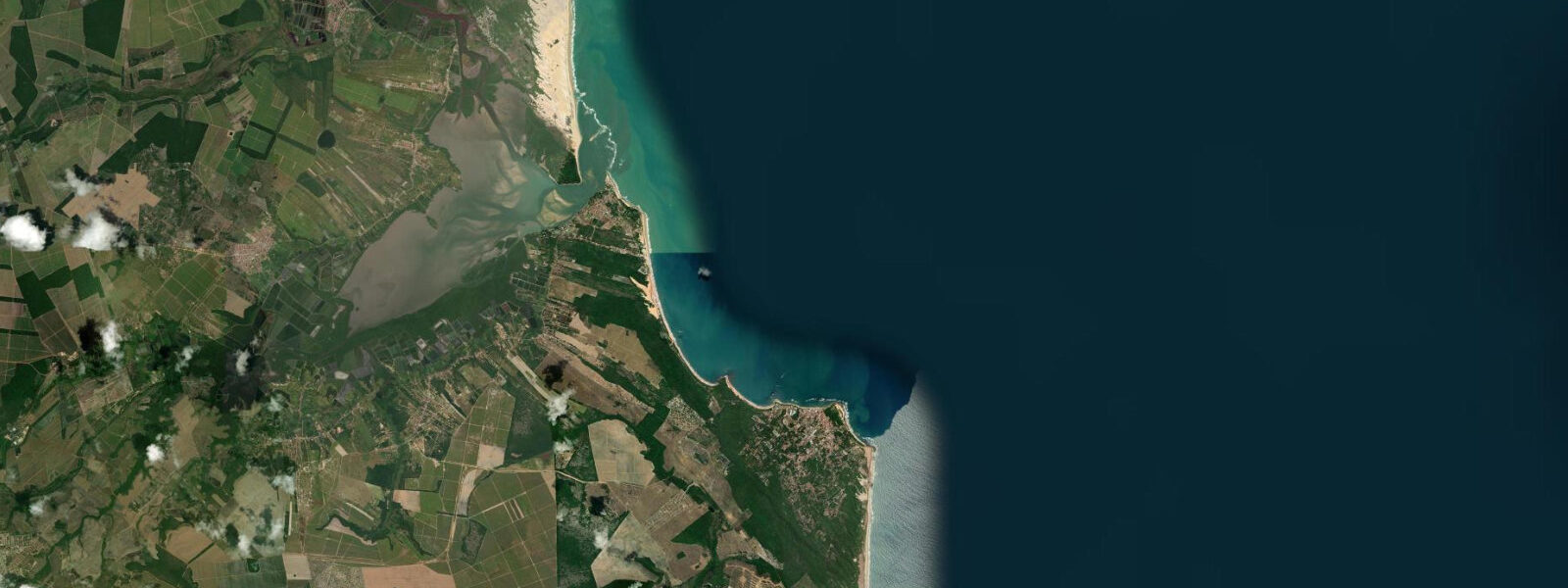
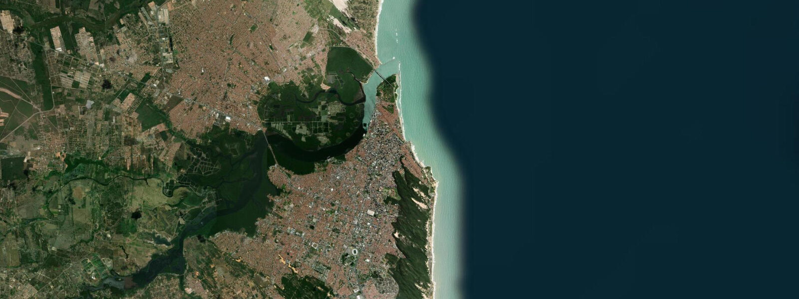
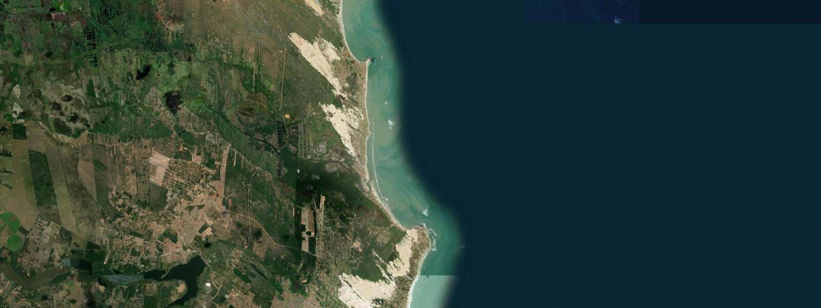
Other spots nearby
The three closest curated TideTurtle locations to Praia da Pipa, measured by great-circle distance.
Today's solunar windows
Solunar tradition: major periods are the ≈3h windows around moon transit and opposition; minor are ≈2h around moonrise and moonset. Pair with the local tide stage and wind for the best read.
Cycle dates near Praia da Pipa
Last spring tide on Sat 20 Jun (range 1.4m). Next spring tide on Fri 26 Jun (range 1.5m). Next neap on Mon 22 Jun.
Spring tides cluster around new and full moons (biggest swings). Neap tides land on quarter moons (smallest swings). See the spring tide and neap tide glossary entries for the why.
About tides at Praia da Pipa
A short guide to the coastline at Praia da Pipa — geography, sea state, and what the tide is actually doing under your feet.
Praia da Pipa is a clifftop village perched above a series of white-sand beaches on the southern Rio Grande do Norte coast, roughly 85 km south of Natal. The cliffs — brick-red and ochre, reaching 40 m above sea level in places — are the visual signature of the place. Below them the beaches are separated by headlands and rock arches that appear and disappear with the tide.
Tides here follow the regional semidiurnal pattern for this stretch of the northeast coast. DHN/FEMAR data places the mean range in the 2.4–2.6 m bracket above LAT, consistent with the Natal gauge 85 km north. The practical effect: at low water, the rock arches and tide pools along the cliff base are fully exposed. At high water, the sea reclaims most of that platform and the pools are submerged. The most-photographed arch, at the north end of Praia do Amor (Love Beach), is accessible on foot only during the lower half of the tidal cycle.
Tartarugas Beach (Turtle Beach), immediately east of the main village, is an active loggerhead sea turtle (Caretta caretta) nesting site. The Brazilian TAMAR Project has monitored and protected this beach for decades. Nesting season runs roughly October through March; hatchling emergence follows 50–60 days after laying. Lighting restrictions apply on the beach at night during nesting season — artificial light disorients hatchlings attempting to navigate to the sea by the luminosity of the horizon.
The dolphin colony in Pipa Bay is a resident group of rough-toothed dolphins (Steno bredanensis), present year-round. Dolphin-watching boats operate from the beach, and timing matters: calmer inshore conditions tend to occur on incoming tide in the mornings, but the dolphins' presence is independent of tidal state.
The village itself, reached by a road that drops sharply from the cliff plateau, has a concentrated core of restaurants, pousadas, and beach access points. The access path to Praia do Amor involves a steep descent — at high tide the base of the path is wave-washed, so confirm tidal state before descending with bags or children.
For tide tables specific to this stretch of coast, DHN/FEMAR is the authoritative source. Open-Meteo Marine data shown here has typical uncertainty of ±45 min on timing and ±0.2–0.3 m on height.
Tide questions about Praia da Pipa
Quick answers to the most common questions about tide times, range, and water access at Praia da Pipa.
When can I walk through the rock arches at Praia da Pipa?
The arches and cliff-base formations at Praia do Amor and Praia do Cacimbinhas are accessible on foot only during the lower portion of the tidal cycle — roughly 2 hours before to 2 hours after low water is a reliable window for most conditions. At high water, particularly on spring tides, the sea covers the rock platform completely. Check the day's low water time and allow for travel time down the access path before the tide turns.
Are sea turtles really nesting at Pipa?
Yes. Tartarugas Beach (Turtle Beach) is an active loggerhead sea turtle (Caretta caretta) nesting site managed under Brazil's TAMAR Project. Nesting season runs approximately October through March, with hatchling emergence 50–60 days after laying. Nighttime lighting on the beach is restricted during nesting season — artificial light disrupts hatchling navigation. The TAMAR base near the beach runs guided visits; check current season access rules on projetotamar.org.br.
What is the tidal range at Praia da Pipa?
Pipa sits on the southern Rio Grande do Norte coast, which shares the region's semidiurnal mesotidal character. The mean tidal range is approximately 2.4–2.6 m above LAT, consistent with DHN/FEMAR data for the area. Spring tides (new and full moon) reach the upper end of that range; neap tides reduce it by roughly 30–40%. Two high and two low waters occur each day, though the two highs (or lows) are not always equal in height.
Is there good snorkelling at Pipa at low tide?
The tide pools and shallow reef ledges exposed at low water on the cliff-base platforms offer straightforward rockpool exploring and easy snorkelling in calm conditions. For more structured reef snorkelling, boat trips operate from Pipa bay to offshore rocky outcrops. Water clarity improves after a run of calm weather; the post-rainfall window with turbid runoff from the cliffs is not ideal. Morning outgoing tide generally offers better visibility than the afternoon incoming.
How reliable are the tide times shown here for Pipa?
Predictions displayed for Praia da Pipa are modelled from Open-Meteo Marine global tidal data, with typical accuracy of ±45 minutes on timing and ±0.2–0.3 m on height. For activities where timing is safety-critical — descending cliff paths, accessing tidal platforms, boat departures — cross-reference with official DHN (Diretoria de Hidrografia e Navegação) tide tables at mar.mil.br. This site provides informational guidance only and does not replace official nautical publications.
7-day tide table — Praia da Pipa
Heights relative to MSL. Predictions: Open-Meteo Marine (MeteoFrance SMOC, 0.08° grid) — heights relative to MSL (not chart datum / LAT). Model-derived.
| Day | Type | Time | Height |
|---|---|---|---|
| Sun 21 Jun | High | 08:41 | 0.9m |
| Low | 15:07 | -0.5m | |
| Mon 22 Jun | High | 09:46 | 0.8m |
| Low | 16:06 | -0.4m | |
| Tue 23 Jun | High | 10:51 | 0.8m |
| Low | 17:04 | -0.3m | |
| High | 23:21 | 0.8m | |
| Wed 24 Jun | Low | 05:39 | -0.3m |
| High | 11:51 | 0.8m | |
| Low | 18:02 | -0.3m | |
| Thu 25 Jun | High | 00:16 | 0.8m |
| Low | 06:34 | -0.4m | |
| High | 12:47 | 0.7m | |
| Low | 18:51 | -0.4m | |
| Fri 26 Jun | High | 01:06 | 0.8m |
| Low | 07:26 | -0.5m | |
| High | 13:40 | 0.8m | |
| Low | 19:40 | -0.5m | |
| Sat 27 Jun | High | 01:51 | 0.9m |
| Low | 08:08 | -0.6m | |
| High | 14:20 | 0.8m | |
| Low | 20:00 | -0.5m |