Recife tide times
Recife tide forecast — heights relative to MSL.
Today's tide times for Recife
Tide times at Recife on Sunday, 21 June 2026: first low tide at 02:14, first high tide at 08:26, second low tide at 14:56, second high tide at 21:04. Sunrise 05:31, sunset 17:10.
Tide chart for Recife
24-hour cosine-interpolated curve around the present moment. Heights relative to MSL. Predictions: Predictions: Open-Meteo Marine (MeteoFrance SMOC, 0.08° grid).
Sun, moon and conditions on Sun 21 Jun
Snapshot at build time — refreshes daily. Sea state from Open-Meteo Marine.
Highs and lows next 7 days
Every predicted high and low for the next week, with the daily tidal coefficient (0–120; higher = bigger swing, > 95 means stronger currents).
Other spots nearby
The three closest curated TideTurtle locations to Recife, measured by great-circle distance.
Today's solunar windows
Solunar tradition: major periods are the ≈3h windows around moon transit and opposition; minor are ≈2h around moonrise and moonset. Pair with the local tide stage and wind for the best read.
Cycle dates near Recife
Last spring tide on Sat 20 Jun (range 1.4m). Next spring tide on Fri 26 Jun (range 1.4m). Next neap on Mon 22 Jun.
Spring tides cluster around new and full moons (biggest swings). Neap tides land on quarter moons (smallest swings). See the spring tide and neap tide glossary entries for the why.
About tides at Recife
A short guide to the coastline at Recife — geography, sea state, and what the tide is actually doing under your feet.
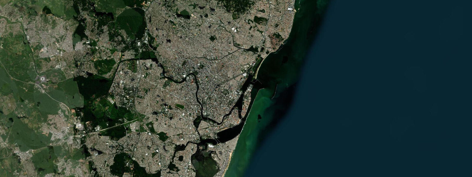
Recife is the capital of Pernambuco and the largest city in northeast Brazil, built across a delta of three rivers — the Capibaribe, the Beberibe, and the Tejipió — where they meet the Atlantic. The city takes its name directly from the recifes: the natural coral and sandstone reef barrier that runs 1 to 3 kilometres offshore, parallel to the coast, and defines the beach environment of the southern urban coast. Inside the reef, the water is calmer and the beaches sheltered; outside, the open Atlantic.
Tides are semidiurnal and mesotidal. Mean spring range at Recife is approximately 2.5 metres (LAT datum, DHN/FEMAR). The tidal range is sufficient to significantly change beach character — at low water the inner reef flats are exposed and the natural pools of Praia de Boa Viagem (the main urban beach) and the neighbourhood beaches south toward Piedade are at their most accessible. At high water, reef sections flood and the beach narrows. The tidal cycle is one of the daily rhythms of the city's beachgoing.
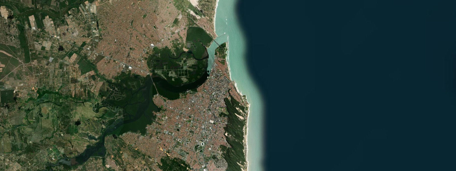
Praia de Boa Viagem is the most visited urban beach in northeast Brazil — 7 kilometres of sand backed by apartment towers, running south from the Pina neighbourhood. The reef barrier runs the full length of the beach. The beach is popular for morning walks, cycling on the beachfront promenade, and the low-tide rock pools; full-body swimming in the ocean between the reef and the shore is affected by a documented shark presence that has led to permanent advisory signage and prohibited net-free swimming at most sections since the early 1990s. The shark situation at Boa Viagem is a genuine public safety issue related to port development that altered the predator-prey balance in the area; the rock pools inside the reef at low water are the practical swimming environment for most visitors.
Recife Antigo (the old city), on the island between the rivers, is the historic core: 17th-century Dutch colonial architecture from the period when Recife was Mauritsstad, capital of Dutch Brazil (1630–1654). The synagogue Kahal Zur Israel, founded around 1636, is considered the oldest synagogue in the Americas. The Friday and Saturday evening street party in Marco Zero square on the waterfront is one of the most attended regular outdoor events in Brazil.
The port of Recife handles commercial shipping; the approaches to the port cross the reef through a maintained channel. Container vessels and tankers pass close to the Boa Viagem shoreline on the approach.
Predictions on this page come from Open-Meteo Marine, a global gridded ocean model accurate to within approximately ±45 minutes on timing and ±0.2–0.3 metres on height. For authoritative Brazilian tidal predictions, consult DHN/FEMAR at mar.mil.br/dhn.
Tide questions about Recife
Quick answers to the most common questions about tide times, range, and water access at Recife.
What is the tidal range at Recife?
Recife has a mean spring tidal range of approximately 2.5 metres (LAT datum). The 2.5-metre range is mesotidal and shapes the beach experience significantly — at low water the reef barrier is more exposed, the natural inshore pools are accessible, and the beach is wider. DHN/FEMAR publishes authoritative tidal predictions for Recife port.
Is it safe to swim at Praia de Boa Viagem?
Full-body swimming in the open water at Boa Viagem carries documented shark risk. Since the early 1990s there have been a significant number of attacks along the Recife urban coast, attributed in part to changes in the marine environment following port expansion. Permanent advisory signs restrict unprotected ocean swimming at most sections of Boa Viagem. The rock pools and natural pools inside the reef at low water — accessible when the tide is out — are the practical swimming environment. Follow the posted signage.
What is the reef at Praia de Boa Viagem?
The reef running parallel to Boa Viagem is a combination of natural sandstone and coral formation — the recifes that gave the city its name. It runs 1 to 3 kilometres offshore and creates a sheltered inshore zone. At low tide, portions of the reef are exposed above the waterline and the natural pools form inside. At high tide the reef is submerged and the inshore zone shallows. The reef is a natural harbour breakwater that shaped the development of the port.
What is historically significant about Recife Antigo?
Recife Antigo (the old city on the river island) was the capital of Dutch Brazil — Mauritsstad — from 1630 to 1654 under the Dutch West India Company. Several buildings from that period survive. The Kahal Zur Israel synagogue, established around 1636, is considered the oldest synagogue in the western hemisphere. The Forte das Cinco Pontas (1630, rebuilt 1677) and the Igreja Madre de Deus date from the same period. The Marco Zero square on the waterfront marks the historical reference point for distances in Pernambuco.
Are the tide predictions on this page suitable for navigation or port planning at Recife?
No. Predictions here come from Open-Meteo Marine, a global ocean model providing indicative guidance only. For port operations, vessel approaches through the reef channel, or any navigational use, consult DHN/FEMAR authoritative tidal predictions at mar.mil.br/dhn and the official Brazilian nautical charts. Open-Meteo Marine is a gridded model with typical accuracy of ±45 minutes on timing and ±0.2–0.3 metres on height — not suitable for navigation through a reef-gated port approach.
7-day tide table — Recife
Heights relative to MSL. Predictions: Open-Meteo Marine (MeteoFrance SMOC, 0.08° grid) — heights relative to MSL (not chart datum / LAT). Model-derived.
| Day | Type | Time | Height |
|---|---|---|---|
| Sun 21 Jun | Low | 02:14 | -0.4m |
| High | 08:26 | 0.9m | |
| Low | 14:56 | -0.5m | |
| High | 21:04 | 0.7m | |
| Mon 22 Jun | Low | 03:16 | -0.3m |
| High | 09:25 | 0.8m | |
| Low | 15:53 | -0.3m | |
| High | 22:06 | 0.7m | |
| Tue 23 Jun | Low | 04:20 | -0.3m |
| High | 10:34 | 0.8m | |
| Low | 16:53 | -0.3m | |
| High | 23:06 | 0.7m | |
| Wed 24 Jun | Low | 05:25 | -0.3m |
| High | 11:34 | 0.7m | |
| Low | 17:50 | -0.3m | |
| Thu 25 Jun | High | 00:02 | 0.7m |
| Low | 06:21 | -0.4m | |
| Fri 26 Jun | High | 00:51 | 0.8m |
| Low | 07:08 | -0.5m | |
| High | 13:22 | 0.8m | |
| Low | 19:26 | -0.4m | |
| Sat 27 Jun | High | 01:37 | 0.9m |
| Low | 07:54 | -0.6m | |
| High | 14:05 | 0.8m | |
| Low | 20:00 | -0.5m |