Tobacco Caye, Belize tide times
Tobacco Caye, Belize tide forecast — heights relative to MSL.
Tide chart for Tobacco Caye, Belize
24-hour cosine-interpolated curve around the present moment. Heights relative to MSL. Predictions: Predictions: Open-Meteo Marine (MeteoFrance SMOC, 0.08° grid).
Sun, moon and conditions on Fri 03 Jul
Snapshot at build time — refreshes daily. Sea state from Open-Meteo Marine.
Highs and lows next 7 days
Every predicted high and low for the next week, with the daily tidal coefficient (0–120; higher = bigger swing, > 95 means stronger currents).
Other spots nearby
The three closest curated TideTurtle locations to Tobacco Caye, Belize, measured by great-circle distance.
Today's solunar windows
Solunar tradition: major periods are the ≈3h windows around moon transit and opposition; minor are ≈2h around moonrise and moonset. Pair with the local tide stage and wind for the best read.
About tides at Tobacco Caye, Belize
A short guide to the coastline at Tobacco Caye, Belize — geography, sea state, and what the tide is actually doing under your feet.
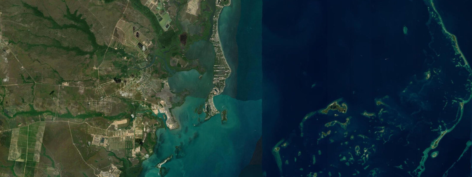
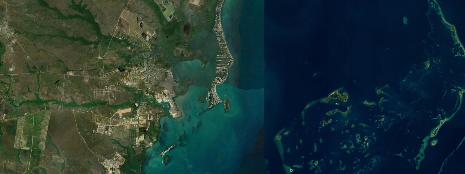
Tobacco Caye is a small coral island — roughly 2 acres — sitting directly on the Belize Barrier Reef about 19 km southeast of Dangriga. It is walkable end to end in under five minutes. There are no vehicles, no roads, and a handful of simple guesthouses running along the reef side. The reef crest is the island's eastern border; you can step off the dock into 1.5 m of water over the reef flat and fin to the drop-off in 10 minutes.
The tidal regime is Caribbean microtidal: spring range 0.3 to 0.5 metres, mixed semidiurnal. The reef is the dominant physical structure — it absorbs the trade swell and the tidal exchange, so conditions inside the lagoon west of the cay are consistently calm regardless of tide state. The reef flat on the east side of the island has current that varies with the tide: the predicted flood runs westward through the reef passages, pushing water from the open Caribbean into the lagoon. The turn of tide (±45 min from Open-Meteo) is when current through the reef passages is minimal — the most comfortable window for exploring the reef flat on foot or by fin.
Snorkelling off the dock and reef side is immediate. The reef here is part of the Belize Barrier Reef UNESCO World Heritage Site, which runs 300 km from the Mexican border to the Guatemalan coast. The elkhorn and staghorn coral assemblages on the Tobacco Caye section are in better condition than most of the northern reef, partly because the island's small size limits the visitor load and partly because the southern reef is away from the Ambergris Caye and Caye Caulker boat traffic. Parrotfish, damselfish, snapper, and Nassau grouper are reliable; hawksbill turtles feed on the reef regularly and are present on most dive and snorkel days.
Southwater Caye Marine Reserve, 5 km south, is a separate reef system with dedicated marine reserve protection — one of the least dived sections of the main reef and reachable by water taxi from Tobacco Caye in 15 minutes. The reserve boundaries restrict some fishing gear; check with the reserve office in Dangriga for current rules.
Anglers on Tobacco Caye work the reef edge for snapper and grouper on the incoming tide, when the flood current carries baitfish over the reef crest and into the back-reef channels. Bonefish are present on the shallow flats between Tobacco Caye and the Stann Creek mainland shore — a 45-minute boat ride across the lagoon reaches the main flat system. The incoming tide, as on all bonefish grounds, is the productive window: the fish push up from the channel edges onto the flat in the first 3 hours of the flood.
Families staying at Tobacco Caye find the experience direct and uncomplicated: the cay is small enough that children cannot wander far, the water is calm on the lagoon side, and the reef is visible and accessible without additional equipment or transport. The main challenge is that the infrastructure is genuinely basic — ice and cold drinks but no air conditioning, bucket showers in some guesthouses, and insects after dark require netting. The trade wind (when it is blowing consistently from the east) keeps the guesthouses on the reef side cooler than the lagoon side.
Predictions on this page come from Open-Meteo Marine, a global gridded ocean model. Accuracy is ±45 minutes on timing and ±0.2 to 0.3 metres on height. For planning the specific reef passages and current windows, the predicted tidal low gives the slack window — combine with local guesthouse knowledge of the passage-specific timing.
Tide questions about Tobacco Caye, Belize
Quick answers to the most common questions about tide times, range, and water access at Tobacco Caye, Belize.
When is the next high tide at Tobacco Caye?
The predicted next high tide at Tobacco Caye is shown at the top of this page in Central Standard Time (CST, UTC-6). Spring range is 0.3 to 0.5 metres. The reef crest dominates the local hydrodynamics more than the tide — current through the reef passages is the variable to watch for snorkelling. Predictions come from Open-Meteo Marine (gridded, ±45 min / ±0.2–0.3 m).
How small is Tobacco Caye and what is there to do?
Tobacco Caye is roughly 2 acres — about 200 metres end to end. Walking the island takes under 5 minutes. Activities are reef-centred: snorkelling off the dock and reef flat, kayaking the lagoon, and boat trips to Southwater Caye Reserve and the deeper wall sites. There are no dive-boat concessions on the island itself; bring your own gear for snorkelling or rent from the guesthouses. The caye's value is immediacy and simplicity — the reef is literally at the end of the dock.
Is Tobacco Caye part of the Belize Barrier Reef UNESCO site?
Yes. Tobacco Caye sits on the Belize Barrier Reef, which was designated a UNESCO World Heritage Site in 1996 (expanded 2018). The site covers seven protected areas including Southwater Caye Marine Reserve, 5 km south. The reef here is in better condition than the more heavily trafficked northern sections. No touching the reef, no collecting of coral or shells, and no anchoring on the reef; these rules are enforced and violations can result in fines.
Where do tide predictions for Tobacco Caye come from?
The reef crest off Tobacco Caye is snorkellable at any tide state — the 0.3 to 0.5 m tidal range does not meaningfully change the reef-flat depth. Visibility is best when swell is minimal and the wind is light, conditions most common in the early morning before the trade builds, typically before 09:30. When northeast swell exceeds 0.8 m, surge inside the reef structure makes the snorkel uncomfortable or unsafe. The slack near the predicted tide change gives the calmest current on the reef flat — plan entries around the Open-Meteo predicted low or high (±45 min accuracy) for the gentlest conditions.
Is this safe to use for navigation?
No. TideTurtle is a planning tool, not a nautical almanac. Navigation through the reef passages around Tobacco Caye and Southwater Caye requires current charts and local knowledge of the passage depths, which change with weather and sediment movement from the southern Belize rivers. Several passages inside the barrier reef are too shallow for keeled vessels at the predicted low water. Open-Meteo Marine predictions are not a substitute for authoritative harmonic data for any vessel operation. The Belize Port Authority publishes annual tide tables for the country.
8-day tide table — Tobacco Caye, Belize
Heights relative to MSL. Predictions: Open-Meteo Marine (MeteoFrance SMOC, 0.08° grid) — heights relative to MSL (not chart datum / LAT). Model-derived.
| Day | Type | Time | Height |
|---|---|---|---|
| Fri 03 Jul | — | ||
| Sat 04 Jul | Low | 05:00 | 0.1m |
| High | 12:00 | 0.1m | |
| Low | 17:50 | 0.1m | |
| Sun 05 Jul | — | ||
| Mon 06 Jul | High | 15:00 | 0.2m |
| Tue 07 Jul | — | ||
| Wed 08 Jul | — | ||
| Thu 09 Jul | Low | 10:10 | -0.0m |
| Fri 10 Jul | High | 04:00 | 0.2m |
| Low | 11:00 | -0.1m | |
| High | 17:00 | 0.2m | |