Placencia Village, Belize tide times
Placencia Village, Belize tide forecast — heights relative to MSL.
Today's tide times for Placencia Village, Belize
Tide times at Placencia Village, Belize on Friday, 3 July 2026: first low tide at 06:00pm. Sunrise 05:25am, sunset 06:30pm.
Tide chart for Placencia Village, Belize
24-hour cosine-interpolated curve around the present moment. Heights relative to MSL. Predictions: Predictions: Open-Meteo Marine (MeteoFrance SMOC, 0.08° grid).
Sun, moon and conditions on Fri 03 Jul
Snapshot at build time — refreshes daily. Sea state from Open-Meteo Marine.
Highs and lows next 7 days
Every predicted high and low for the next week, with the daily tidal coefficient (0–120; higher = bigger swing, > 95 means stronger currents).
Other spots nearby
The three closest curated TideTurtle locations to Placencia Village, Belize, measured by great-circle distance.
Today's solunar windows
Solunar tradition: major periods are the ≈3h windows around moon transit and opposition; minor are ≈2h around moonrise and moonset. Pair with the local tide stage and wind for the best read.
About tides at Placencia Village, Belize
A short guide to the coastline at Placencia Village, Belize — geography, sea state, and what the tide is actually doing under your feet.
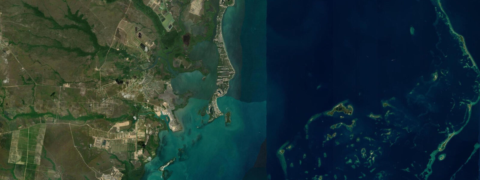
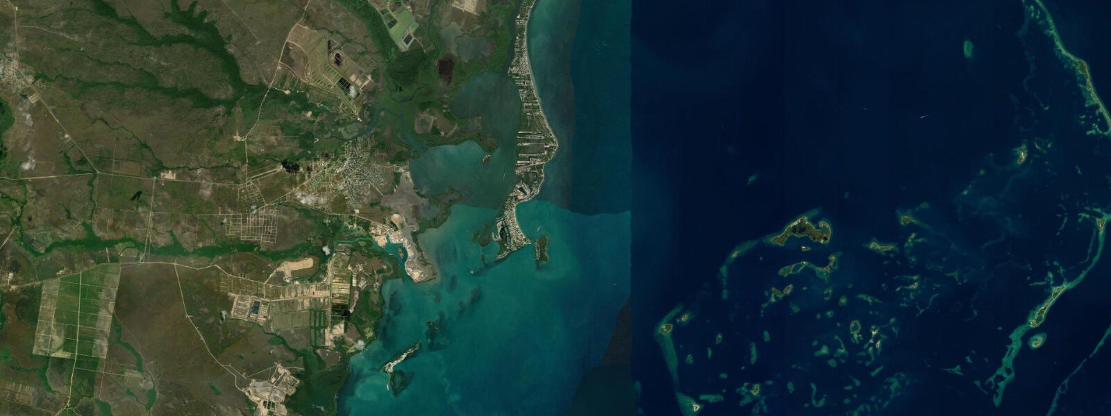
Placencia Village sits at the southern tip of a 40 km peninsula that narrows to barely 200 m at the bottom, with the Caribbean Sea on the east and a broad lagoon on the west. A concrete footpath, measured at 1.2 m wide, runs the village's back lane and is documented in the Guinness World Records as the world's narrowest main street. The peninsula road north from the village connects to the Southern Belize Highway, but the village itself is end-of-the-line — driving into Placencia means the sea stops you.
The tidal regime is Caribbean microtidal: spring range 0.3 to 0.5 metres, mixed semidiurnal. The barrier reef sits about 20 km to the east, and its sheltering effect means that even when trade winds are generating 0.8 to 1.0 m swell on the reef, the sea inside the lagoon side of the peninsula is calm. The eastern beach faces south-southeast and catches some Caribbean swell when wind is from the south; the lagoon side is consistently flat and warm.
Gladden Spit is the primary reason divers come to Placencia. Gladden Spit and Silk Cayes Marine Reserve, 35 km offshore by fast boat, is a spawning aggregation site for cubera snapper and dog snapper. From March through June (peak March–May), the full moons trigger the spawning event: the snapper aggregate in large schools at the point and broadcast eggs and sperm into the water column simultaneously. The smell and visual density of the aggregation attracts whale sharks — up to 20 individual whale sharks have been counted on peak spawning nights. The sharks arrive after dark to hoover the spawn cloud; the dive community has managed the site with strict entry rules and maximum diver numbers to reduce disturbance. Whale shark sightings are most reliable at the full moons of March through June, peaking in April.
For the majority of visitors not timing for whale sharks, the Silk Cayes — small coral islands on the outer reef 30 km offshore — are the snorkelling and diving destination. The water around the cayes is offshore-clear, the coral formations are diverse, and the species diversity (hawksbill turtle, southern stingray, eagle ray, large parrotfish) is high relative to the mainland reef sections. The predicted tidal slack (±45 min from Open-Meteo) is the guide for minimal current on the shallow reef sections.
The lagoon west of the peninsula is a world-class bonefish flat. Bonefish, permit, and tarpon all use the lagoon system; permit fishing at Placencia is considered some of the best permit-on-flat fishing in Belize. The incoming tide pushes clear water from the barrier reef side south along the outside of the peninsula and through the passages into the lagoon, concentrating bonefish in predictable feeding lanes in the first three hours of the flood. A guide with a shallow-draft skiff is essential for reading the flat and for accessing the northern lagoon sections.
Anglers not targeting permit or bonefish use the Placencia town dock for jack crevalle, barracuda, and snapper on the lagoon side during the incoming tide. The dock is one of the few places in Belize where the fishing is directly accessible from the village on foot.
Families and casual beach visitors use the east beach — a narrow strip of sand running south from the village for about 1.5 km. The beach is gentle, the water is Caribbean-clear, and the barrier reef 20 km east keeps wave energy low. The Guinness record lane is a tourist photo stop and a genuine piece of the village's character — in the early morning, before the heat, the lane is a pleasant walk through the village's wooden-house core.
Predictions on this page come from Open-Meteo Marine, a global gridded ocean model. Accuracy is ±45 minutes on timing and ±0.2 to 0.3 metres on height. For Gladden Spit whale shark dives, the full moon calendar determines the trip date; the tidal state within the lunar cycle is secondary.
Tide questions about Placencia Village, Belize
Quick answers to the most common questions about tide times, range, and water access at Placencia Village, Belize.
When is the next high tide at Placencia?
The predicted next high tide at Placencia is shown at the top of this page in Central Standard Time (CST, UTC-6). Spring range is 0.3 to 0.5 metres. For whale shark diving at Gladden Spit, the full moon calendar (March–June) determines the trip date far more than the daily tide state. Predictions come from Open-Meteo Marine (gridded, ±45 min / ±0.2–0.3 m).
When is the whale shark season at Gladden Spit?
Whale sharks aggregate at Gladden Spit from March through June, triggered by the cubera and dog snapper spawning events that occur around the full moons in those months. Peak is typically April. Sightings are most reliable at night dives within 3 days of the full moon. Access is by fast boat from Placencia, 35–40 km offshore — a 45-minute crossing in good conditions. The reserve requires licensed dive operators and strictly limits the number of divers per site per night.
What is the world's narrowest main street at Placencia?
Placencia's back lane runs the length of the village and is documented in Guinness World Records as the narrowest main street, measuring 1.2 m wide. It is a functional pedestrian path — not a tourist construct — used daily by villagers for access between houses. The path is accessible to all visitors as a walk through the historic village core.
Is the bonefish flat at Placencia accessible without a guide?
The main lagoon bonefish flats north of Placencia Village require a shallow-draft skiff to access — they are too far from the village to wade to and the flat structure is complex without local knowledge. Guides based in Placencia book up weeks in advance in January–April peak season. The area immediately south of the village dock is accessible on foot for wade fishing at the lower half of the tide, but the best flat fishing requires a boat.
Is this safe to use for navigation?
No. TideTurtle is a planning tool, not a nautical almanac. Navigation from Placencia to Gladden Spit and the Silk Cayes crosses open water with Atlantic swell exposure and approaches complex outer barrier reef structures that require careful routing. Current charts from the UKHO or Belize Port Authority and a licensed operator are required for any vessel making the 35-km offshore crossing. The Placencia lagoon has shallow-water passages that may be depth-limited at the predicted low water for deeper-draft vessels. Open-Meteo Marine predictions are not a substitute for authoritative harmonic data for any vessel operation.
8-day tide table — Placencia Village, Belize
Heights relative to MSL. Predictions: Open-Meteo Marine (MeteoFrance SMOC, 0.08° grid) — heights relative to MSL (not chart datum / LAT). Model-derived.
| Day | Type | Time | Height |
|---|---|---|---|
| Fri 03 Jul | Low | 18:00 | 0.1m |
| Sat 04 Jul | — | ||
| Sun 05 Jul | — | ||
| Mon 06 Jul | — | ||
| Tue 07 Jul | High | 01:00 | 0.2m |
| Wed 08 Jul | — | ||
| Thu 09 Jul | Low | 10:10 | -0.0m |
| High | 18:00 | 0.2m | |
| Fri 10 Jul | Low | 11:00 | -0.1m |
| High | 17:00 | 0.2m | |