Bathsheba tide times
Bathsheba tide forecast — heights relative to MSL.
Today's tide times for Bathsheba
Tide times at Bathsheba on Saturday, 4 July 2026: first high tide at 05:18am, first low tide at 11:50am, second high tide at 06:20pm. Sunrise 05:36am, sunset 06:29pm.
Tide chart for Bathsheba
24-hour cosine-interpolated curve around the present moment. Heights relative to MSL. Predictions: Predictions: Open-Meteo Marine (MeteoFrance SMOC, 0.08° grid).
Sun, moon and conditions on Sat 04 Jul
Snapshot at build time — refreshes daily. Sea state from Open-Meteo Marine.
Highs and lows next 7 days
Every predicted high and low for the next week, with the daily tidal coefficient (0–120; higher = bigger swing, > 95 means stronger currents).
Other spots nearby
The three closest curated TideTurtle locations to Bathsheba, measured by great-circle distance.
Today's solunar windows
Solunar tradition: major periods are the ≈3h windows around moon transit and opposition; minor are ≈2h around moonrise and moonset. Pair with the local tide stage and wind for the best read.
Cycle dates near Bathsheba
Last spring tide on Fri 03 Jul (range 0.6m). Next spring tide on Wed 08 Jul (range 0.5m). Next neap on Mon 06 Jul.
Spring tides cluster around new and full moons (biggest swings). Neap tides land on quarter moons (smallest swings). See the spring tide and neap tide glossary entries for the why.
About tides at Bathsheba
A short guide to the coastline at Bathsheba — geography, sea state, and what the tide is actually doing under your feet.
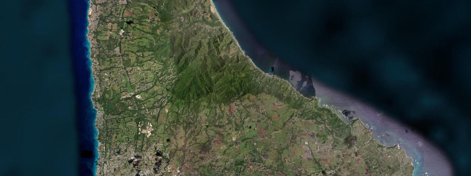
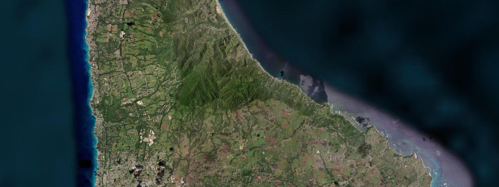
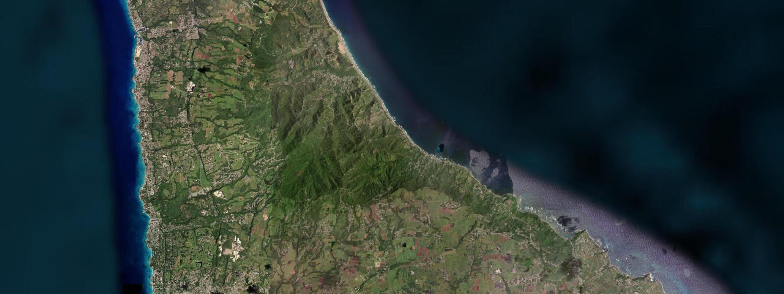
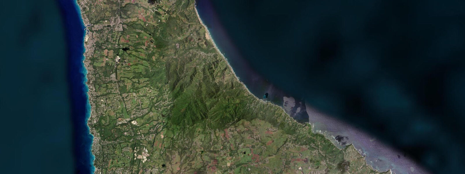
Bathsheba is the name given to the stretch of the Atlantic coast in Saint Joseph parish where the rock formations known as the Boulders — large mushroom-shaped sandstone masses worn by wave action into their distinctive undercut profiles — stand at the waterline and define one of the most photographed coastal scenes in the Caribbean. The boulders are geological remnants of an older coral reef formation, harder than the surrounding material and left standing as the softer rock eroded away. They are scattered across the intertidal zone south of the main beach, accessible at low water from the clifftop path.
The beach itself sits in a bay backed by the Bathsheba clifftop restaurant strip — a terrace of eating places and guesthouses looking directly west onto the Atlantic. The Soup Bowl, the surf break that has made Bathsheba known across the eastern Caribbean surfing world, is a hollow left-hander that breaks over a shallow reef 150 metres off the southern end of the beach. The wave catches northeast trade wind swell that has crossed 4,000 kilometres of open Atlantic without obstruction, pitching the swell energy over the reef in a fast, critical section.
On good days the Soup Bowl produces barrelling sections of 2 to 3 metres; the drop is steep and the section over the reef is fast enough to be challenging at any skill level below intermediate. The wave breaks year-round when northeast swell is running — that is most days — with the most consistent and powerful windows in the December to March trade wind season. There is no lifeguard, no surf school, and no vehicle access to the beach break itself; paddling out is across open Atlantic water from the rocky beach entry.
8 metres at spring tides. The dominant water-level influence is the swell itself: a large swell set will move water up the beach and push the run-up well above what the tide alone would achieve. The shoreline at Bathsheba is dangerous for non-surfers.
The shore break over the intertidal rocks on the south side of the bay is powerful enough to knock a person down and drag them across rock; the rip current that feeds the Soup Bowl channel runs continuously during swell activity. The beach is not a swimming beach. Standing on the clifftop or the restaurant terrace above is the correct way to watch the wave, and the view from there is unobstructed.
The road that runs south from Bathsheba through the Saint Joseph coast gives access to the Andromeda Botanic Gardens, a privately operated garden on the hillside above the coast that contains one of the most diverse plant collections in the eastern Caribbean — more than 600 species. The Joe's River Tropical Forest interior is accessible by hiking trail from the coast road. The east coast road itself — the ABC Highway running north to Cattlewash and south to Martin's Bay — is one of the quieter drives in Barbados, with Atlantic views at every northward-facing corner.
Predictions on this page come from Open-Meteo Marine, a gridded global ocean model. 3 metres on height — model-derived, not from a local gauge. The Caribbean Institute of Meteorology and Hydrology (CIMH) is the regional hydrometeorological authority.
Tide questions about Bathsheba
Quick answers to the most common questions about tide times, range, and water access at Bathsheba.
Is Bathsheba safe to swim at?
No — Bathsheba is not a safe swimming beach for the general public. The shore break over the intertidal rocks is powerful even on days that look calm from the clifftop, and the rip current feeding the Soup Bowl surf break runs continuously during swell activity, which is the majority of days. There are no lifeguards. Several beaches further south on the east coast — and all beaches on the west and south coasts — are far safer options. The beach at Bathsheba is for watching waves, walking at low water near the Boulders, and surfing by those who understand the conditions.
Can beginners surf the Soup Bowl?
The Soup Bowl at Bathsheba is not a beginner break. The wave is a fast, hollow left-hander breaking over a shallow reef; the paddle-out crosses open Atlantic water and requires the ability to handle a 2-metre shore break to enter. Intermediate surfers who are comfortable on reef breaks will find the wave manageable on smaller days (1 to 1.5 metres). Beginners should start on the west coast at Freights Bay or the south coast around Inch Marlow, where conditions are more forgiving. There is no surf instruction at Bathsheba; west coast surf schools are the starting point for lessons.
What are the rock formations at Bathsheba?
The Boulders are large sandstone formations in the intertidal zone, remnants of an older coral reef structure that eroded differentially — the harder material was left standing while the surrounding softer rock was cut back by wave action. They have been undercut into their characteristic mushroom profiles. At low water the rocks are accessible from the beach south of the main bay, and the pools among the boulders hold small fish, sea urchins, and crustaceans. The formations are ancient — they predate any human occupation of the island — and are a protected geological feature of the east coast landscape.
What is the best time to visit Bathsheba for photography?
The two hours around sunrise — when east-facing and the first light hits the boulders and breaks in the wave — give the most dramatic conditions. A northeast swell of 1.5 metres or more produces the best wave images; check Atlantic swell forecasts the day before. The clifftop restaurant terrace gives an elevated view that includes both the boulders and the breaking wave in a single frame. Low water exposes more of the boulder formation for landscape work. The trade wind season (December to March) combines the best wave quality with reliable early morning light.
Are there restaurants at Bathsheba?
Yes. Several restaurants and snack bars operate on the clifftop above the beach, taking advantage of the Atlantic view. The most established are open for lunch and late afternoon; hours are variable and some close on Monday. Flying fish cutters, grilled mahi-mahi, and the standard Bajan lunch plate are on most menus. The clifftop position means the restaurants are subject to trade wind — outdoor seating can be breezy. The inland village of Bathsheba, a few minutes walk from the clifftop, has a rum shop that is one of the quieter corners of the east coast.
7-day tide table — Bathsheba
Heights relative to MSL. Predictions: Open-Meteo Marine (MeteoFrance SMOC, 0.08° grid) — heights relative to MSL (not chart datum / LAT). Model-derived.
| Day | Type | Time | Height |
|---|---|---|---|
| Sat 04 Jul | High | 05:18 | 0.5m |
| Low | 11:50 | -0.0m | |
| High | 18:20 | 0.5m | |
| Sun 05 Jul | Low | 00:06 | 0.1m |
| High | 06:00 | 0.5m | |
| Mon 06 Jul | Low | 00:54 | 0.1m |
| High | 06:45 | 0.4m | |
| Low | 13:06 | 0.0m | |
| High | 19:42 | 0.5m | |
| Tue 07 Jul | Low | 02:00 | 0.1m |
| High | 07:54 | 0.4m | |
| Low | 14:00 | 0.1m | |
| High | 20:18 | 0.5m | |
| Wed 08 Jul | Low | 03:18 | 0.0m |
| High | 09:18 | 0.3m | |
| Low | 14:54 | 0.1m | |
| High | 21:20 | 0.5m | |
| Thu 09 Jul | Low | 04:20 | -0.0m |
| High | 11:00 | 0.3m | |
| Low | 15:50 | 0.1m | |
| High | 22:18 | 0.5m | |
| Fri 10 Jul | Low | 17:00 | 0.1m |
| High | 19:00 | 0.2m |