Cattlewash, Barbados tide times
Cattlewash, Barbados tide forecast — heights relative to MSL.
Today's tide times for Cattlewash, Barbados
Tide times at Cattlewash, Barbados on Saturday, 4 July 2026: first high tide at 05:18am, first low tide at 11:50am, second high tide at 06:20pm. Sunrise 05:36am, sunset 06:29pm.
Tide chart for Cattlewash, Barbados
24-hour cosine-interpolated curve around the present moment. Heights relative to MSL. Predictions: Predictions: Open-Meteo Marine (MeteoFrance SMOC, 0.08° grid).
Sun, moon and conditions on Sat 04 Jul
Snapshot at build time — refreshes daily. Sea state from Open-Meteo Marine.
Highs and lows next 7 days
Every predicted high and low for the next week, with the daily tidal coefficient (0–120; higher = bigger swing, > 95 means stronger currents).
Other spots nearby
The three closest curated TideTurtle locations to Cattlewash, Barbados, measured by great-circle distance.
Today's solunar windows
Solunar tradition: major periods are the ≈3h windows around moon transit and opposition; minor are ≈2h around moonrise and moonset. Pair with the local tide stage and wind for the best read.
Cycle dates near Cattlewash, Barbados
Last spring tide on Fri 03 Jul (range 0.6m). Next spring tide on Wed 08 Jul (range 0.5m). Next neap on Mon 06 Jul.
Spring tides cluster around new and full moons (biggest swings). Neap tides land on quarter moons (smallest swings). See the spring tide and neap tide glossary entries for the why.
About tides at Cattlewash, Barbados
A short guide to the coastline at Cattlewash, Barbados — geography, sea state, and what the tide is actually doing under your feet.
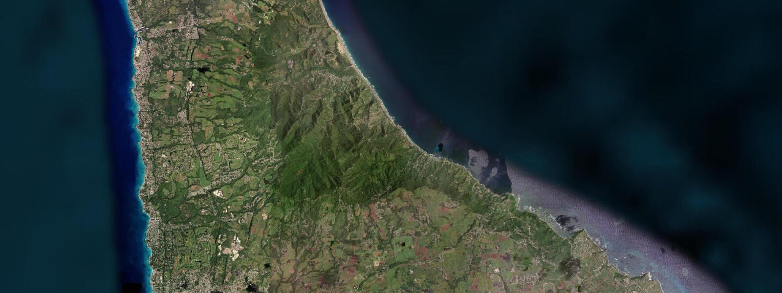
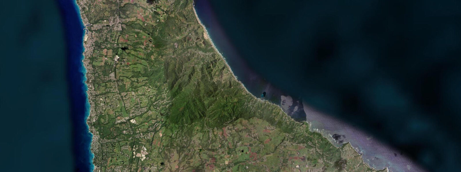
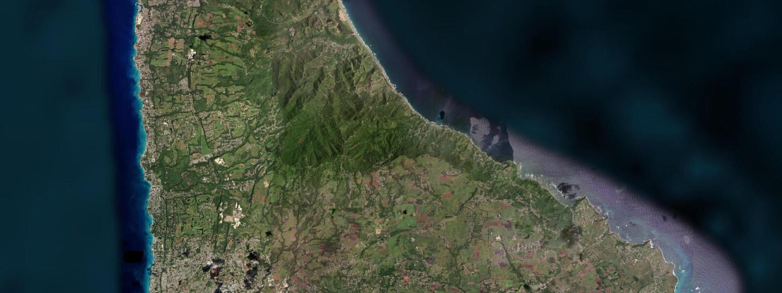
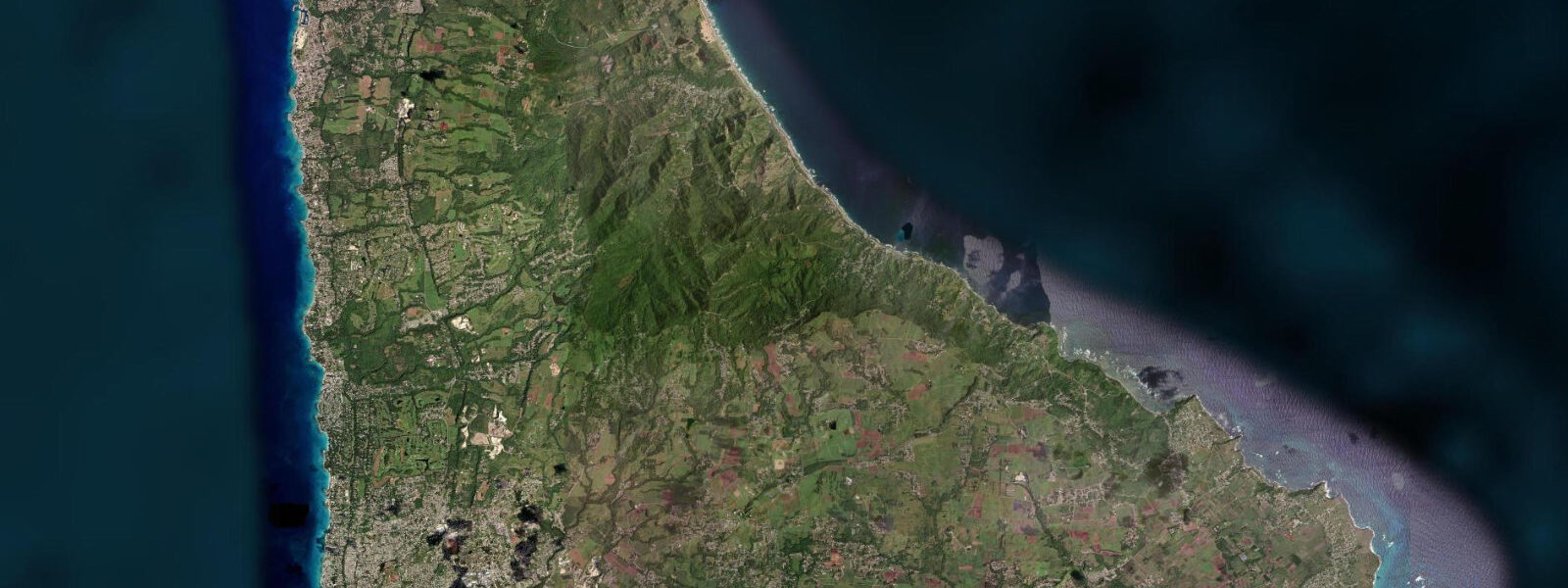
Cattlewash is roughly 3 km north of Bathsheba on the same Atlantic-facing east coast road, and where Bathsheba has its surf break and day-trippers, Cattlewash has mostly beach, sky, and the sound of the Atlantic trades. The name comes from the practice of driving cattle down to the shoreline to wash them in the sea — a custom that has disappeared but left its record in the place name. The beach is wide, the sand is coarser than the west coast's calm-water coral sand, and the water is rough enough that signage at various points along the east coast warns that swimming is for strong and experienced swimmers only.
That warning is real. The combination of rip currents, shore dump at certain tide states, and Atlantic swell sets at 10 to 14 seconds means the water at Cattlewash rewards respect. The more practical pursuits here are walking the beach at low water, photography in the morning light, and turtle watching in season.
Hawksbill turtles nest along the Cattlewash and Bathsheba beaches from around May through October. The Barbados Sea Turtle Project monitors nest sites along the east coast; nesting activity peaks in July and August, and hatchlings emerge typically 60 to 65 days after laying. Disturbing nests or using artificial light on the beach at night during nesting season is illegal under Barbados law.
The flat stretch of beach at low water — typically 20 to 30 metres wider on a spring low than at high water — is the main access window for walkers and shell collectors. 8 metres. Morning light at Cattlewash arrives directly off the Atlantic, and the low-angle golden hour before 07:00 in the dry season illuminates the beach diagonally, with the low dunes and casuarina pines providing the background.
For anglers, the shore-casting window on the flood tide — particularly the first two hours of the incoming — is the traditional period for jack and snapper along the rock ledges at the north end of the beach. The coral rubble zone just past the beach's southern end toward Bathsheba holds lionfish in the deeper crevices; the Barbados Fisheries Division runs a periodic culling programme on the east coast. 8 metres, governed in practice more by the Atlantic swell state than by the astronomical prediction.
3 metres on height. The Barbados Meteorological Services swell forecast should be checked before any entry into the water.
Tide questions about Cattlewash, Barbados
Quick answers to the most common questions about tide times, range, and water access at Cattlewash, Barbados.
Is it safe to swim at Cattlewash?
Swimming at Cattlewash is for strong, experienced swimmers only. The Atlantic swell arrives at 10 to 14 second period with sets noticeably larger than the mean; rip currents form on the ebb tide at the beach's irregular nearshore topography, and shore dump against the sand near the waterline at mid to high tide can knock people over. There are no lifeguards stationed permanently on the east coast. Families with children should wade at the water's edge only, preferably within the 90-minute low-tide window when the slope is fully exposed and the run-up distance from breaking waves is largest. The west coast lagoon beaches at Paynes Bay or Carlisle Bay are the appropriate choice for family swimming.
When do hawksbill turtles nest at Cattlewash?
Hawksbill turtles nest along the Cattlewash and Bathsheba beaches from roughly May through October, with nesting activity peaking in July and August. The Barbados Sea Turtle Project monitors nest sites along the east coast; hatchlings emerge typically 60 to 65 days after laying, meaning hatchings run from July through October. Observing nesting turtles requires staying well back from the animal, not using artificial lights, and not approaching from the seaward side. Contact the Barbados Sea Turtle Project for guided night watches during peak season. Disturbing nests or eggs is an offence under Barbados law.
What is the tide range at Cattlewash?
The mixed semidiurnal Atlantic tide at Cattlewash runs a spring range of roughly 0.6 to 0.8 metres — slightly larger than the sheltered south coast of Barbados because the east coast receives the full Atlantic tidal signal. The practical effect is a beach width change of 20 to 30 metres between high and low water on a spring tide day. The spring low window — 90 minutes either side of predicted low around new and full moons — produces the widest beach and the best access to the rock ledge zone at the beach's northern and southern ends.
Where do the tide predictions come from?
Open-Meteo Marine, a free gridded global ocean model. Accuracy is typically within plus or minus 45 minutes on timing and 0.2 to 0.3 metres on height. For Cattlewash specifically, the nearest authoritative gauge reference is Bridgetown Harbour on the west coast; the east coast phase offset means high water at Cattlewash runs roughly 30 to 45 minutes later than Bridgetown, and the range is slightly larger. For activity planning that requires precise timing — turtle monitoring, rock-ledge fishing — use the predicted time as a guide and build in that margin.
Is this safe to use for navigation?
No. The east coast of Barbados has no commercial port approaches. The nearshore reef structures, the Atlantic swell state, and the absence of navigational aids on this coast make vessel operations in the Cattlewash nearshore zone a matter requiring local knowledge and current chart data from the Caribbean Hydrographic Institute. Open-Meteo Marine gridded predictions are not gauge-calibrated harmonic data and do not substitute for authoritative navigational sources.
7-day tide table — Cattlewash, Barbados
Heights relative to MSL. Predictions: Open-Meteo Marine (MeteoFrance SMOC, 0.08° grid) — heights relative to MSL (not chart datum / LAT). Model-derived.
| Day | Type | Time | Height |
|---|---|---|---|
| Sat 04 Jul | High | 05:18 | 0.5m |
| Low | 11:50 | -0.0m | |
| High | 18:20 | 0.5m | |
| Sun 05 Jul | Low | 00:06 | 0.1m |
| High | 06:00 | 0.5m | |
| Mon 06 Jul | Low | 00:54 | 0.1m |
| High | 06:45 | 0.4m | |
| Low | 13:06 | 0.0m | |
| High | 19:42 | 0.5m | |
| Tue 07 Jul | Low | 02:00 | 0.1m |
| High | 07:54 | 0.4m | |
| Low | 14:00 | 0.1m | |
| High | 20:18 | 0.5m | |
| Wed 08 Jul | Low | 03:18 | 0.0m |
| High | 09:18 | 0.3m | |
| Low | 14:54 | 0.1m | |
| High | 21:20 | 0.5m | |
| Thu 09 Jul | Low | 04:20 | -0.0m |
| High | 11:00 | 0.3m | |
| Low | 15:50 | 0.1m | |
| High | 22:18 | 0.5m | |
| Fri 10 Jul | Low | 17:00 | 0.1m |
| High | 19:00 | 0.2m |