Cattlewash tide times
Cattlewash tide forecast — heights relative to MSL.
Today's tide times for Cattlewash
Tide times at Cattlewash on Saturday, 4 July 2026: first high tide at 05:18am, first low tide at 11:50am, second high tide at 06:20pm. Sunrise 05:36am, sunset 06:29pm.
Tide chart for Cattlewash
24-hour cosine-interpolated curve around the present moment. Heights relative to MSL. Predictions: Predictions: Open-Meteo Marine (MeteoFrance SMOC, 0.08° grid).
Sun, moon and conditions on Sat 04 Jul
Snapshot at build time — refreshes daily. Sea state from Open-Meteo Marine.
Highs and lows next 7 days
Every predicted high and low for the next week, with the daily tidal coefficient (0–120; higher = bigger swing, > 95 means stronger currents).
Other spots nearby
The three closest curated TideTurtle locations to Cattlewash, measured by great-circle distance.
Today's solunar windows
Solunar tradition: major periods are the ≈3h windows around moon transit and opposition; minor are ≈2h around moonrise and moonset. Pair with the local tide stage and wind for the best read.
Cycle dates near Cattlewash
Last spring tide on Fri 03 Jul (range 0.6m). Next spring tide on Wed 08 Jul (range 0.5m). Next neap on Mon 06 Jul.
Spring tides cluster around new and full moons (biggest swings). Neap tides land on quarter moons (smallest swings). See the spring tide and neap tide glossary entries for the why.
About tides at Cattlewash
A short guide to the coastline at Cattlewash — geography, sea state, and what the tide is actually doing under your feet.
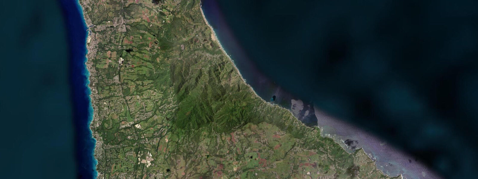
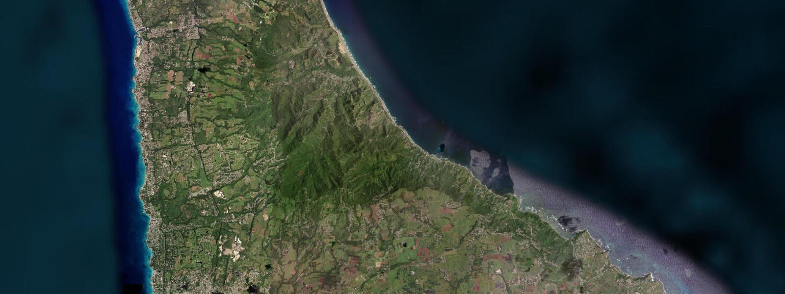
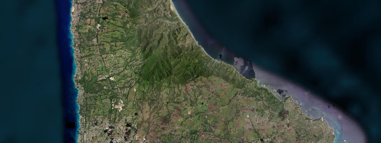
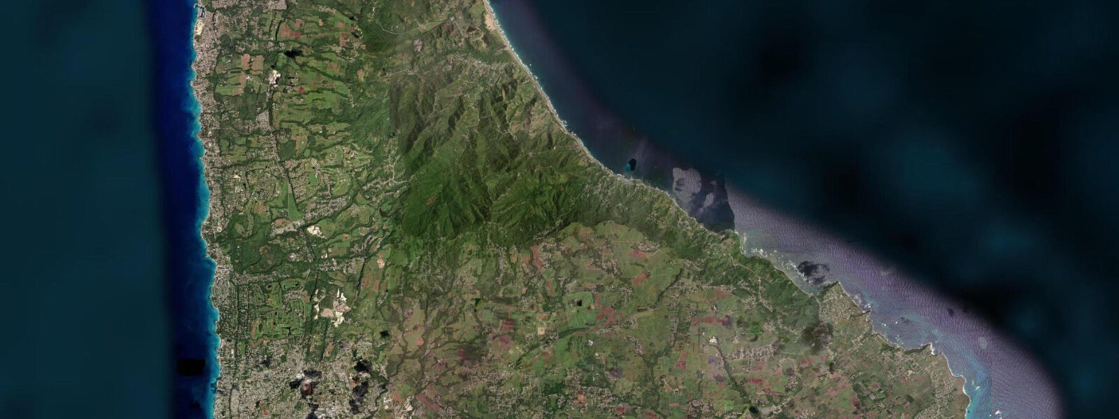
Cattlewash is a coastal village in the Belleplaine district of Saint Andrew, approximately 5 kilometres north of Bathsheba on the Atlantic coast road. The name is the kind of straightforwardly descriptive label that places acquire over generations: cattle were washed in the sea here, probably along the lower beach at low water where the firm sand made entry and exit easy. The village today has a handful of houses, a rum shop, and the coastal landscape that defines the east coast of Barbados — Atlantic swell arriving without obstruction from the northeast, a narrow beach that widens at low tide, and the hills of the Scotland District rising immediately inland.
The Scotland District is geologically distinct from the rest of Barbados — a zone of older, softer Scotland Formation sedimentary rock (as opposed to the coral limestone that underlies most of the island) — and is notable for its steep, eroded valleys, landslide-prone hillsides, and agricultural poverty. The Barbados National Trust has classified the Scotland District coastline, including the Cattlewash foreshore, as scenic heritage under its Open House and Hiking programmes. There are no resorts at Cattlewash.
There is one guesthouse — the Atlantis Hotel at Tent Bay, a kilometre south — that represents the upper end of the east coast accommodation infrastructure. This absence of development is partly a function of the Atlantic exposure (the coast is not suitable for the beach-resort model that drives the west coast tourism economy) and partly a reflection of the historical landholding patterns in Saint Andrew. 7-metre spring range.
The dominant influence on beach width is swell height: when a large northeast swell is running, the active swash zone covers the full beach to the cliff base; on calmer days in settled summer weather, the upper beach dries and firms. Atlantic water along the east coast runs clear when the swell is below 1 metre and the offshore winds are consistent; it turns turbid quickly when larger swell stirs up the inshore sand. Swimming at Cattlewash is possible in the very calmest conditions — settled summer days with no swell and glassy seas, which occur perhaps 20 to 30 days per year — but the east coast is not a reliable swimming destination by design.
Beach walking at low water from Cattlewash north toward the Chalky Mount area, or south toward the Bathsheba boulder formation, is the most rewarding physical activity on this stretch of coast. The walk north to Barclays Park (5 kilometres) follows the beach and the coastal cliff path through scenery that sees few tourists. Frigatebirds soar on the trade wind thermals above the cliff line year-round; brown pelicans work the shoreline at any tide stage.
Predictions on this page come from Open-Meteo Marine, a gridded global ocean model. 3 metres on height — model-derived, not from a local gauge. The Caribbean Institute of Meteorology and Hydrology (CIMH) is the regional hydrometeorological authority for Barbados.
Tide questions about Cattlewash
Quick answers to the most common questions about tide times, range, and water access at Cattlewash.
Is Cattlewash quieter than Bathsheba?
Considerably quieter. Bathsheba's Soup Bowl surf break and the Boulders rock formation draw the east coast's visitor traffic, and the clifftop restaurants there attract day trippers from the west coast. Cattlewash has no comparable draw — it is a stretch of coast valued precisely because it has not been developed for tourism. On a weekday outside the cruise ship season you may have the beach entirely to yourself. The Barbados National Trust's hiking programme brings occasional groups through, and the Barclays Park picnic area 5 kilometres north draws Barbadian families on public holidays.
Can I walk the coast from Cattlewash to Bathsheba?
Yes, at low water the beach walk south from Cattlewash to Bathsheba is approximately 5 kilometres and takes about 90 minutes at a comfortable pace. The route follows the beach where possible and the clifftop path where the beach narrows or disappears against rock. The best window is the 3 hours around low water; the swell at Bathsheba should be assessed before committing to the southern end — on large swell days the Bathsheba bay is all active white water and the beach disappears. Carry water; there are no facilities on the route. Sun exposure is full and the trade wind sun at 13 degrees north is intense year-round.
What accommodation is available at Cattlewash?
Almost none within Cattlewash village itself. The Atlantis Hotel at nearby Tent Bay, approximately 1 kilometre south, has been providing simple, affordable accommodation and Bajan food on the east coast for several generations — it is the kind of institution that survives because it fills a genuine niche on a coast that has very few options. Beyond that, self-catering cottages in the surrounding Scotland District hills can be found through local rental platforms. The nearest full hotel infrastructure is on the west coast at Holetown or Speightstown, about 40 minutes by road.
What is the Barbados National Trust's classification of this coast?
The Barbados National Trust has designated the Scotland District coastal landscape, including the Cattlewash and Belleplaine foreshore, as scenic heritage under its conservation programme. The classification does not carry the legal protection of a formal reserve designation but supports the Trust's advocacy against inappropriate development on the east coast. The Trust's hiking programme includes trail days in the Scotland District; the open house programme features heritage properties inland from this coast. The Trust's website publishes the annual programme of guided walks, some of which traverse the Cattlewash area.
What is the swell like at Cattlewash compared to Bathsheba?
Very similar — the two locations are 5 kilometres apart on the same coast with the same northeast Atlantic exposure. The wave energy at Cattlewash lacks the reef focusing that creates the Soup Bowl surf break at Bathsheba; the result is a more beach-break character, with waves breaking over sand rather than reef, and less consistent form. On days with 1.5 metres of swell or more, both beaches are turbulent; on calmer days both become accessible. Cattlewash has no surf break of note and attracts no surf traffic, which is one more reason the beach stays quiet.
7-day tide table — Cattlewash
Heights relative to MSL. Predictions: Open-Meteo Marine (MeteoFrance SMOC, 0.08° grid) — heights relative to MSL (not chart datum / LAT). Model-derived.
| Day | Type | Time | Height |
|---|---|---|---|
| Sat 04 Jul | High | 05:18 | 0.5m |
| Low | 11:50 | -0.0m | |
| High | 18:20 | 0.5m | |
| Sun 05 Jul | Low | 00:06 | 0.1m |
| High | 06:00 | 0.5m | |
| Mon 06 Jul | Low | 00:54 | 0.1m |
| High | 06:45 | 0.4m | |
| Low | 13:06 | 0.0m | |
| High | 19:42 | 0.5m | |
| Tue 07 Jul | Low | 02:00 | 0.1m |
| High | 07:54 | 0.4m | |
| Low | 14:00 | 0.1m | |
| High | 20:18 | 0.5m | |
| Wed 08 Jul | Low | 03:18 | 0.0m |
| High | 09:18 | 0.3m | |
| Low | 14:54 | 0.1m | |
| High | 21:20 | 0.5m | |
| Thu 09 Jul | Low | 04:20 | -0.0m |
| High | 11:00 | 0.3m | |
| Low | 15:50 | 0.1m | |
| High | 22:18 | 0.5m | |
| Fri 10 Jul | Low | 17:00 | 0.1m |
| High | 19:00 | 0.2m |